Mount Hatafuri
旗振山
A 252-meter peak in the Rokko range offering panoramic views of Osaka Bay and historical flag-signaling sites.
What it is
- A 252-meter peak located at the western end of the Rokko Mountains.
- The name originates from historical flag signaling used to communicate rice market prices.
- The summit area consists of weathered granite and secondary forests.
- It serves as a point on the Rokko Traverse route leading toward Takarazuka.
What to see
- Panoramic views overlooking Osaka Bay and the Akashi Strait.
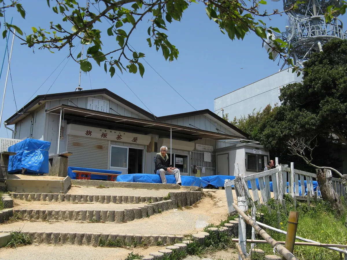
- A traditional tea house located on the mountain.
- A fourth-class triangulation point situated near the summit.
- A wireless relay station standing near the peak.
Getting there
- Accessible on foot from Sumaura-koen Station.
- Located 150 meters from Harima Station on the ropeway line.
Notes written by Japan Gems from facts in Japanese Wikipedia.
Where it is
Mount Hatafuri Open in Google Maps
この施設の関係者の方へ
このページは公開情報をもとに Japan Gems が作成し、訪日外国人向けに英語で掲載しています。 写真や情報の追加・修正を承っています。お店の写真に差し替えることもできます。
このページの情報を更新する