Mount Hattaomanai
ハッタオマナイ岳
A 1,021-meter peak in the Yubari Mountains offering a rugged, trail-free climbing experience for experienced winter hikers.
What it is
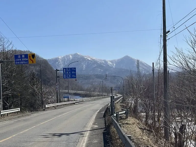
- A 1,021.2 meter mountain located in the southern Yubari Mountains of Hokkaido.
- The name originates from an Ainu phrase referring to a stream with a deep pool.
- The mountain body extends approximately 20 kilometers from north to south.
- A first-class triangulation point marks the highest point of the summit.
What to see
- Panoramic views from the summit across Mukawa Town and Biratori Town.
- The Sekisho Jukai Road monument located near the designated parking area.
- Natural landscapes spanning the border of two Hokkaido districts.
- The Okotan Bridge which serves as a landmark for the climbing route.
When to go
- The remaining snow season is the standard time for climbers to visit.
- Winter or early spring is preferred as there are no established hiking trails.
Getting there
- Park near the Sekisho Jukai Road monument to begin the ascent.
- The common climbing route starts near the Okotan Bridge and passes through Shufuku.
Notes written by Japan Gems from facts in Japanese Wikipedia.
Where it is
Mount Hattaomanai Open in Google Maps
この施設の関係者の方へ
このページは公開情報をもとに Japan Gems が作成し、訪日外国人向けに英語で掲載しています。 写真や情報の追加・修正を承っています。お店の写真に差し替えることもできます。
このページの情報を更新する