Mount Kaerikumo
帰雲山
A 1,622-meter mountain in Gifu where a massive 1586 earthquake landslide buried a castle and its entire ruling clan.
What it is
- A 1,622-meter mountain located on the right bank of the Sho River in Shirakawa Village.
- Site of a massive landslide triggered by the 1586 Tensho earthquake.
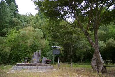
- The location where Kaerikumo Castle and its surrounding town were completely buried.
- A mountain situated directly above the Sho River Fault Zone.
What to see
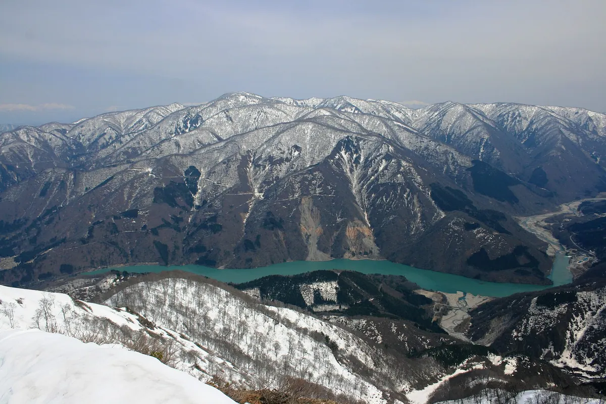
- A large, visible collapse scar located near the mountain summit.
- The western slope where the historic landslide debris blocked the Sho River.
- Natural landscape containing gold veins formed through hydrothermal activity.
- Views of the surrounding area situated west of Mount Sarugababa.
Notes written by Japan Gems from facts in Japanese Wikipedia.
Where it is
Mount Kaerikumo Open in Google Maps
この施設の関係者の方へ
このページは公開情報をもとに Japan Gems が作成し、訪日外国人向けに英語で掲載しています。 写真や情報の追加・修正を承っています。お店の写真に差し替えることもできます。
このページの情報を更新する