Mount Kawanori
川苔山
A 1363-meter peak in Okutama offering scenic hiking trails, a famous waterfall, and historical ruins for outdoor enthusiasts.
What it is
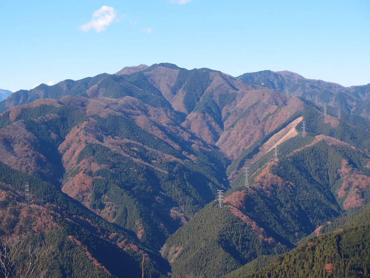
- A mountain peak standing 1363.3 meters high in the Okutama region of Tokyo.
- The name comes from edible green algae found in the local valley.
- A stone marker was installed at the summit in 2016 to mark the peak.
- The summit area formerly housed a tea house for visitors.
What to see
- The Hyakuhiro Waterfall located along the main hiking route.
- Ruins of the Shishiguchi Hut featuring a recognized spring water source.
- A stone marker located at the highest point of the mountain.
- Natural forest scenery along the Akaguna Ridge trail.
Getting there
- Buses run from Okutama Station to the Kawanori Bridge trailhead.
- The mountain is accessible by foot from Hatonosu Station.
- The Akaguna Ridge trail is reachable from Kori Station.
Notes written by Japan Gems from facts in Japanese Wikipedia.
Where it is
Mount Kawanori Open in Google Maps
この施設の関係者の方へ
このページは公開情報をもとに Japan Gems が作成し、訪日外国人向けに英語で掲載しています。 写真や情報の追加・修正を承っています。お店の写真に差し替えることもできます。
このページの情報を更新する