

20 Mountains in Tokyo worth your time
Japan Gems
27 Mountains in Tokyo, with what to see and how to get there.
Tokyo has 27 mountains on Japan Gems. Below are the 20 we can tell you the most about — each one written up in English from Japanese sources, with what to see and how to get there. See all mountains in Tokyo.
01
Mount Bonoore
TOKYO · PLACE 棒ノ折山
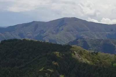
A 969-meter mountain on the Tokyo-Saitama border offering a park-like summit and trails rich in seasonal violets.
What it is
- A mountain standing 969 meters above sea level on the Tokyo and Saitama border.
- The summit features a wide open space that resembles a small public park.
- The name is associated with the historical figure Hatakeyama Shigetada.
- Also known by the alternative names Bounomine or Bounorei.
What to see
- A stone pillar enshrined in a shrine located along the climbing path.
- A high variety of violets growing throughout the mountain area.
- The Kanto Fureai no Michi trail leading toward Iwatakeishiyama.
- Views from the summit overlooking Okutama Town and Hanno City.
When to go
- Hunting season takes place from November 15 to February 15.
- Spring is ideal for viewing the many different species of violets.
Getting there
- Accessible via Mitake Station located on the JR Ome Line.
- One climbing route begins at the Shiratayasawa trailhead near Lake Naguri.
02
Mount Hinode
TOKYO · PLACE 日の出山
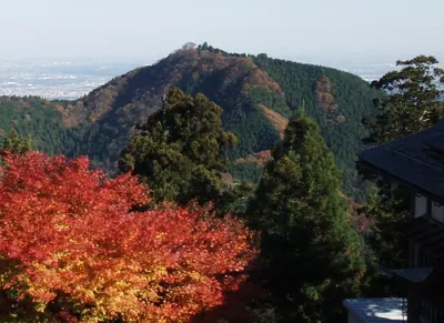
A 902-meter peak in western Tokyo offering panoramic city views and a popular hiking connection to Mount Mitake.
What it is
- A mountain standing 902 meters above sea level on the border of Ome and Hinode.
- The peak is located east of Mount Mitake along the Kanto Fureai no Michi trail.
- The name originates from the sunrise views visible from the summit.
- The surrounding town of Hinode derived its name from this specific mountain.
What to see
- Panoramic views of the Tokyo metropolitan area from the summit.
- Shinonome Mountain Villa and public toilet facilities located at the peak.
- Tsurutsuru Onsen hot spring located near the Matsuo bus stop at the base.
When to go
- Hikers visit the mountain throughout the entire year.
- Early morning is ideal to witness the sunrise for which the mountain is named.
Getting there
- Buses run from Musashi-Itsukaichi Station to various nearby trailheads.
- It takes forty-five minutes to hike to the summit from Mount Mitake.
03
Mount Mitake
TOKYO · PLACE 御岳山
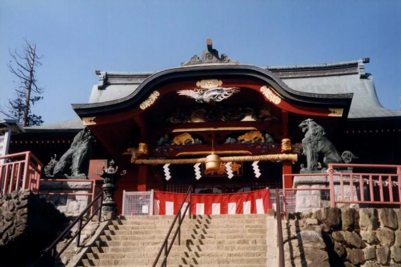
A 929-meter peak in Ome featuring an ancient shrine, scenic waterfalls, and hiking trails accessible by a mountain cable car.
What it is
- A mountain standing at an elevation of 929 meters in Ome City.
- Home to the Musashi Mitake Shrine built directly on the summit.
- A popular destination attracting approximately 500,000 annual visitors.
- The site includes a visitor center and traditional lodging houses.
What to see
- The Musashi Mitake Shrine located at the top of the mountain.
- The Jindai Keyaki tree which is a designated natural monument.
- Natural water features including Nanayo Falls and Ayahiro Falls.
- Hiking trails that connect to Mount Odake and Mount Hinode.
When to go
- August is the time to see fifty thousand false anemone flowers in bloom.
Getting there
- Take the cable car from Takimoto Station to Mitake-san Station.
- The walk from the cable car station to the shrine takes 25 minutes.
- Dogs are permitted to ride the Mitake Tozan Railway cable car.
04
Mount Kagenobu
TOKYO · PLACE 景信山
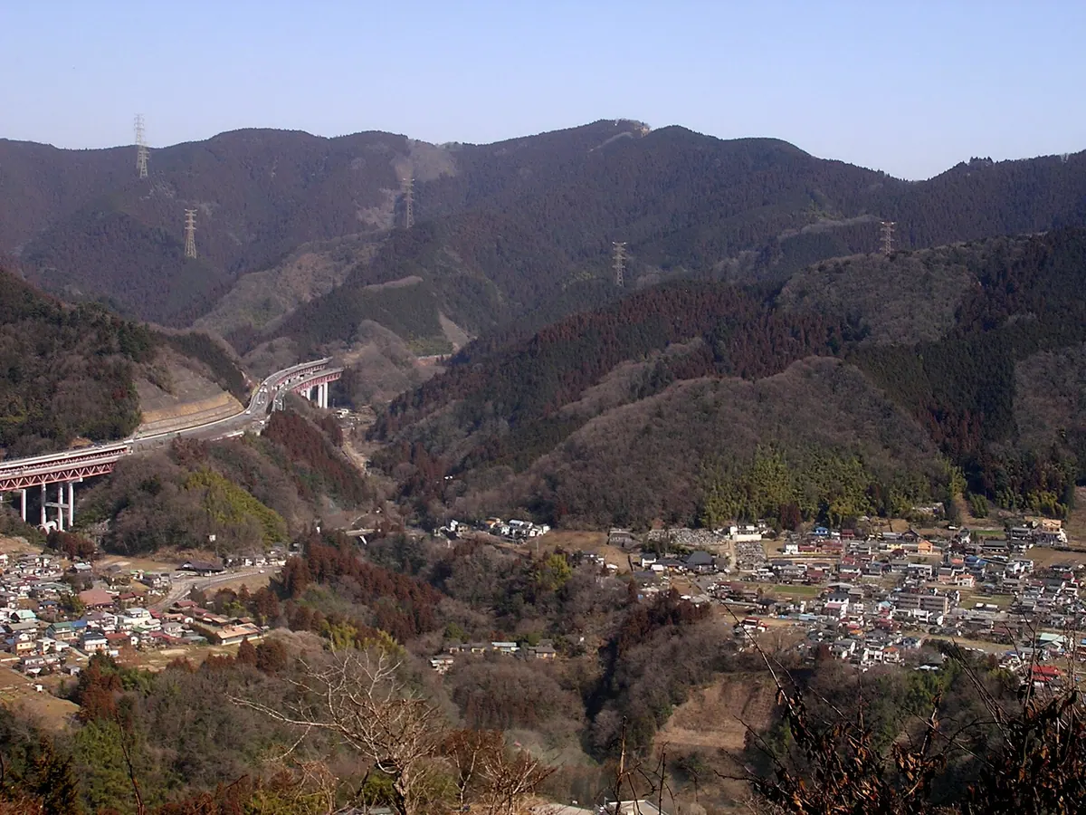
A 727-meter peak on the Oku-Takao trail offering teahouses and views, perfect for hikers seeking a less crowded alternative to Takao.
What it is
- A 727-meter mountain peak spanning Hachioji City and Sagamihara City.
- Part of the Tama 100 Mountains located within the Okutama mountain range.
- Named after the historical retainer Yokochi Kagenobu.
- A popular hiking destination ranked seventh for most ascents in 2023.
What to see
- Two teahouses located at the summit for hikers to rest.
- Public toilet facilities available for visitors at the peak.
- Scenic views along the Oku-Takao longitudinal trail route.
- Connecting paths leading toward Mount Takao and Mount Shiroyama.
Getting there
- Take a bus from Takao Station to the Kobotoke stop.
- The hike from the Kobotoke bus stop to the summit takes one hour.
- Accessible on foot via a one-hour trail from Mount Shiroyama.
- Reached by walking trails connecting from the main Mount Takao area.
05
Mount Chibusa
TOKYO · PLACE 乳房山
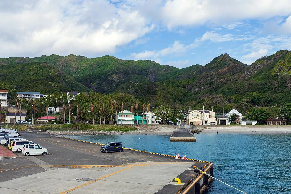
The highest peak on Hahajima featuring endemic species, World War II relics, and the earliest sunrise in accessible Japan.
What it is
- The highest peak on the inhabited Ogasawara Islands at 462.6 meters high.
- A protected area within the Ogasawara National Park and one of Japan's 100 Island Mountains.
- A natural habitat for endemic species like the Ogasawara mulberry and land snails.
- A historical site containing preserved World War II bomb craters and trenches.
What to see
- Panoramic views from the summit offering the earliest sunrise in accessible Japan.
- Rare endemic flora and fauna including the Ogasawara land snail.
- Remnants of wartime history including trenches and craters along the path.
- A hiking trail that loops through the mountain from Motochi village.
When to go
- Early morning to witness the first sunrise in the country.
- Allow approximately four hours to complete the full hiking loop.
06
Mount Takanosu
TOKYO · PLACE 鷹ノ巣山
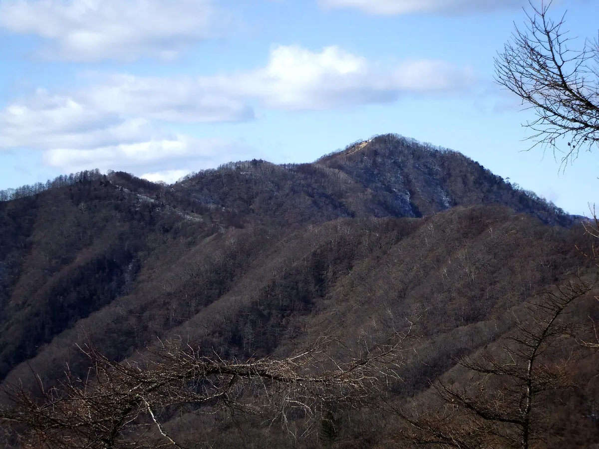
The highest peak entirely within Tokyo, offering a challenging climb and panoramic views from a grassy summit ridge.
What it is
- A 1,736.6 meter mountain peak located in the Okutama region of Tokyo.
- The highest mountain peak situated entirely within the borders of Tokyo.
- A prominent summit positioned in the middle of the Ishione ridge.
- The second highest overall peak in the Tokyo metropolitan area.
What to see
- A grassy southern slope at the summit providing open views.
- A memorial stone installed at the peak in 2016.
- The Inamura Rock Ridge, known as one of the steepest climbs in Okutama.
- A mountain shelter located in the vicinity of the summit.
- Vistas of the adjacent Mount Nanatsuishi and Mount Mutsuishi.
Getting there
- Hiking trails connect to the mountain peak from the Mineya bus stop.
- The Inamura Rock Ridge route gains 1,100 meters over a three kilometer distance.
07
Mount Gozen
TOKYO · PLACE 御前山
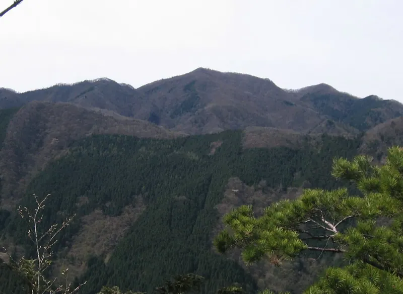
A 1,405-meter peak in Okutama known for its dogtooth violets, larch forests, and inclusion in the One Hundred Flower Mountains.
What it is
- A 1,405-meter mountain bordering Okutama Town and Hinohara Village.
- One of the three famous mountains of the Okutama region.
- A featured peak in the book One Hundred Flower Mountains.
- A natural habitat for dogtooth violets and golden larch trees.
What to see
- A stone marker installed at the wide summit area in 2016.
- Planted forests located on the southern Hinohara side of the mountain.
- The Okutama Tomin-no-Mori forest situated on the northern slope.
- An evacuation hut with a nearby water source for hikers.
- Limited views from the top despite the large summit space.
When to go
- Autumn is the best time to see the larch trees turn golden.
Getting there
- Access the Oguna Ridge trail entrance at the Ogouchi Dam.
08
Mount Usuki
TOKYO · PLACE 臼杵山
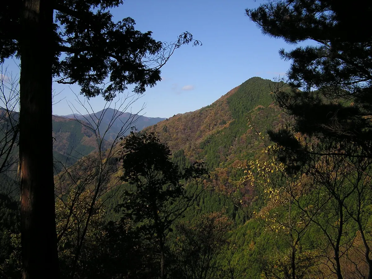
A 842-meter peak in Tokyo featuring a historic shrine and panoramic views of Mount Fuji and the Tokyo Skytree.
What it is
- A mountain standing 842.1 meters above sea level on the border of Hinohara and Akiruno.
- One of the Tokura Three Mountains and included in the Tama 100 Mountains list.
- Home to Usuki Shrine, which enshrines deities of agriculture and sericulture.
- A segment of the Hasegawa Tsuneo Cup mountain race course.
What to see
- Usuki Shrine located on the western peak of the mountain.
- Panoramic views of Mount Fuji and the Tokyo Skytree from the summit.
- Natural forest trails connecting the peaks of the Tokura Three Mountains.
Getting there
- Take a bus from Musashi-Itsukaichi Station to the Motogo bus stop.
- The hike from the Motogo trailhead to the summit takes ninety minutes.
- Alternative trailheads are available at Tokura, Jurigi, and Nadako.
09
Mount Takamizu
TOKYO · PLACE 高水山
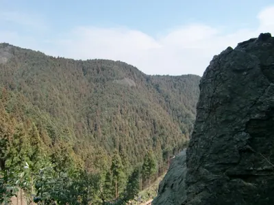
A 759-meter peak in Ome featuring an ancient temple and a scenic ridge trail connecting three mountains.
What it is
- A 759-meter mountain forming part of the Takamizu Sanzan trio in Ome City.
- Home to Jofukuin Temple, a Shingon Buzan sect site founded by Enchin.
- The historic Fudo Hall was rebuilt in 1822 by Hatakeyama Shigetada.
- A spiritual site that once housed donated samurai armor and swords.
What to see
- Jofukuin Temple located directly at the mountain summit.
- The Fudo Hall, a structure dating back to the nineteenth century.
- A hiking trail that connects the peak to nearby Iwatakeishiyama.
- A parking lot situated just below the summit for easier access.
When to go
- The second Sunday of April for the traditional lion dance performance.
Getting there
- Accessible via a hiking trail starting from Ikusabata Station.
10
Mount Kawanori
TOKYO · PLACE 川苔山
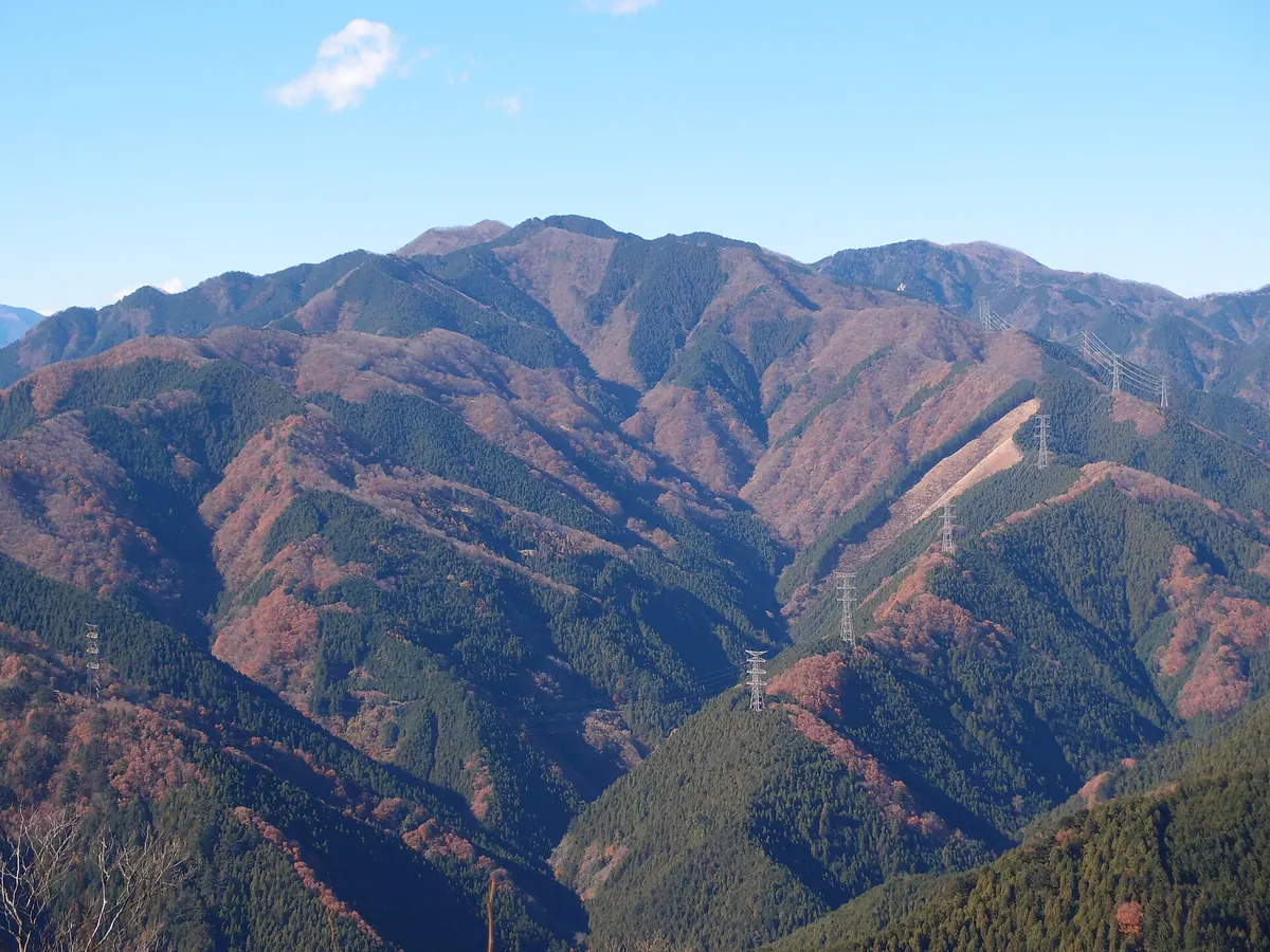
A 1363-meter peak in Okutama offering scenic hiking trails, a famous waterfall, and historical ruins for outdoor enthusiasts.
What it is
- A mountain peak standing 1363.3 meters high in the Okutama region of Tokyo.
- The name comes from edible green algae found in the local valley.
- A stone marker was installed at the summit in 2016 to mark the peak.
- The summit area formerly housed a tea house for visitors.
What to see
- The Hyakuhiro Waterfall located along the main hiking route.
- Ruins of the Shishiguchi Hut featuring a recognized spring water source.
- A stone marker located at the highest point of the mountain.
- Natural forest scenery along the Akaguna Ridge trail.
Getting there
- Buses run from Okutama Station to the Kawanori Bridge trailhead.
- The mountain is accessible by foot from Hatonosu Station.
- The Akaguna Ridge trail is reachable from Kori Station.
11
Mount Takao (Kanagawa prefecture)
TOKYO · PLACE 高尾山 (神奈川県)
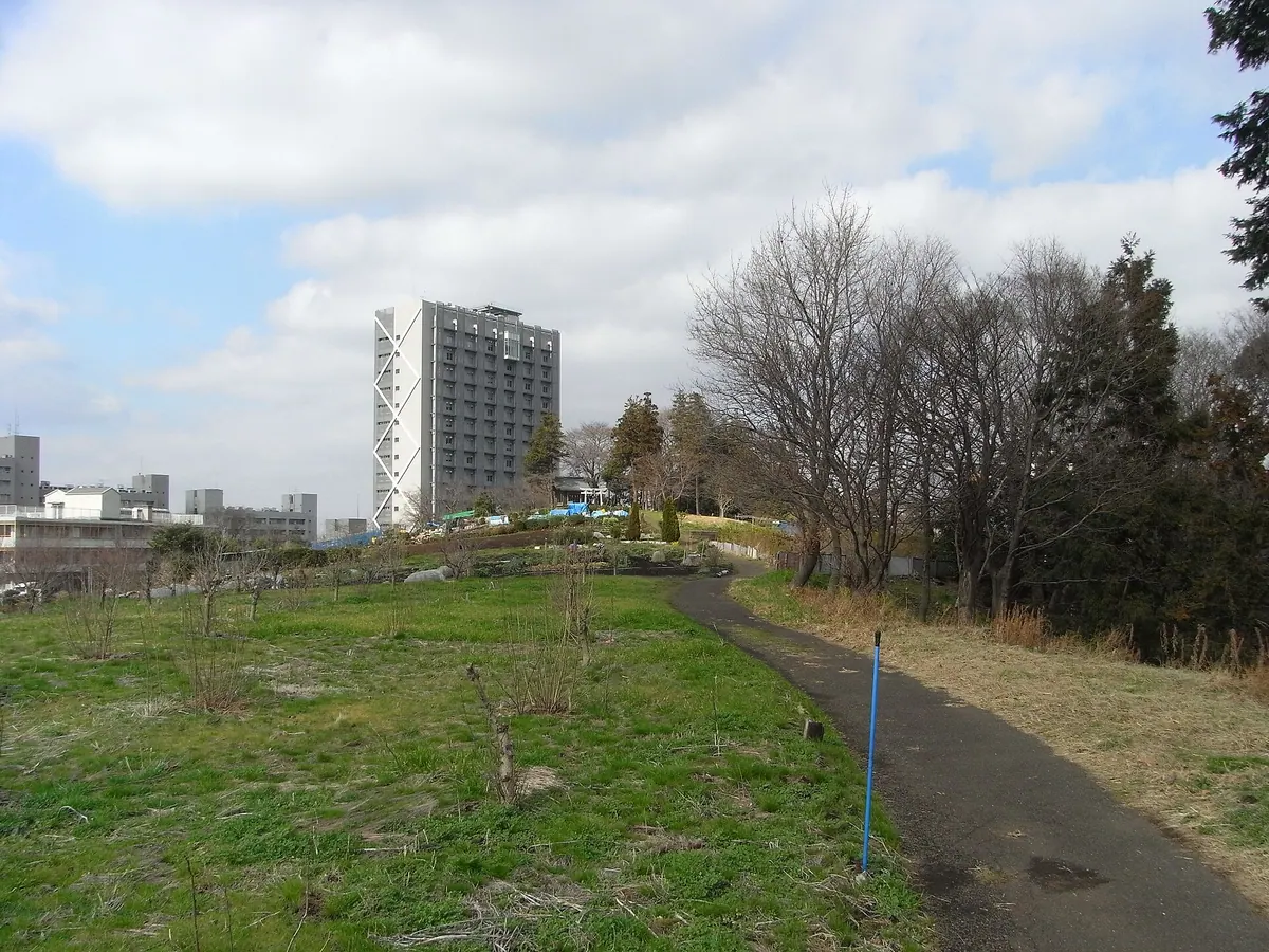
The highest peak in Yokohama's Midori Ward, offering a historic shrine and scenic views of Mount Fuji from the summit.
What it is
- The highest peak in the Midori Ward of Yokohama within the Tama Hills.
- A mountain mentioned in local land records dating back to 1666.
- Home to the Izuna Shrine which was most recently rebuilt in 1960.
- A designated spot within the scenic Ten Views of Nagatsuta.
What to see
- The Izuna Shrine building located at the top of the mountain.
- A first-class triangulation point situated at the summit.
- Panoramic views of Mount Fuji and the Tanzawa Mountains.
- The nearby campus of the Tokyo Institute of Technology Suzukakedai.
Getting there
- The nearest train access is via Suzukakedai Station.
- Buses travel from Nagatsuta Station to the Takaohara bus stop.
- The site is located near the Yokohama-Machida Interchange.
12
Mount Ōdake
TOKYO · PLACE 大岳山
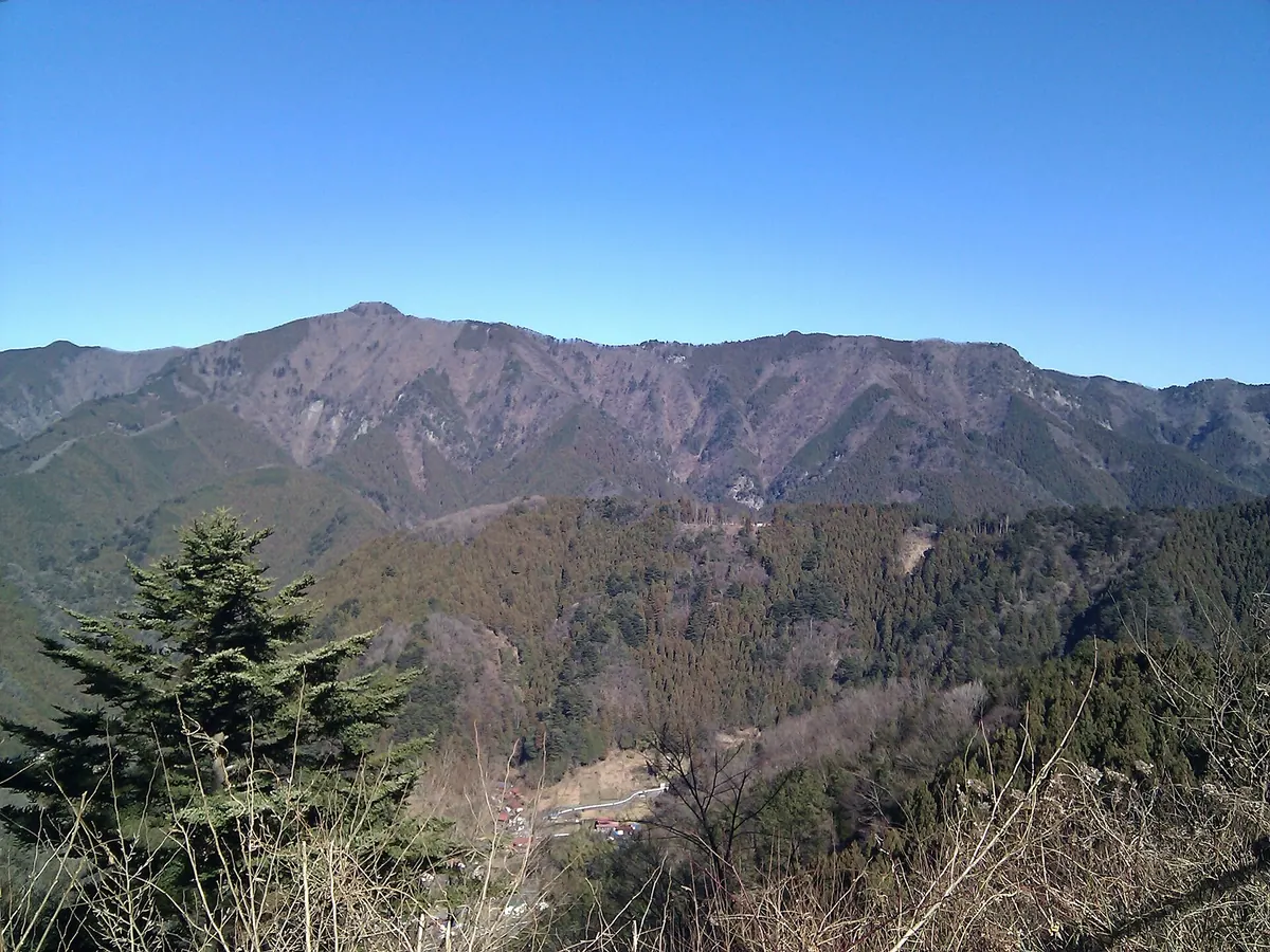
A 1,266-meter peak in the Okutama Three Mountains offering historic shrine sites and scenic hiking trails for outdoor enthusiasts.
What it is
- A 1,266-meter peak located on the border of Hinohara and Okutama.
- One of the 200 Famous Japanese Mountains and part of the Okutama Three Mountains.
- A sacred site serving as a deity for agriculture and fire prevention.
- Historically used as a landmark for sailors navigating the region.
What to see
- Odake Shrine located near the mountain summit.
- A stone marker installed at the peak in 2016.
- Shortia uniflora flowers which are the representative flora of the mountain.
- The remains of the mountain hut which closed permanently in 2008.
Getting there
- Hiking routes are accessible from Mitake and Musashi-Itsukaichi stations.
- A cable car connects Mitake Station to nearby Mount Mitake.
13
Mount Iwatakeishi
TOKYO · PLACE 岩茸石山
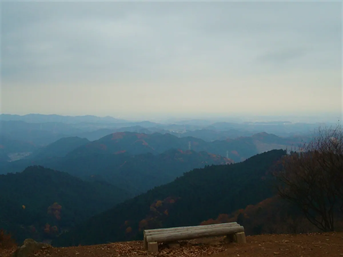
A 793-meter peak in the Okutama area offering a hiking circuit through the Takamizu Sanzan mountain range.
What it is
- A 793-meter mountain peak located on the border of Ome and Okutama.
- Part of the Takamizu Sanzan mountains alongside Mount Takamizu and Mount Sotake.
- A natural landmark situated along the Tama River and Ikawa River basin.
- Neighbors other regional peaks including Mount Bounoore and Mount Kuroyama.
What to see
- The Masugataki waterfall located on the side of the mountain.
- Views from the summit overlooking the Okutama mountain area.
- The surrounding landscape of the Takamizu Sanzan mountain range.
Getting there
- Access the mountain trails via Ikusabata Station.
- Railway access is available through nearby Sawai Station.
- Mitake Station serves as another entry point for visitors.
14
Mount Takao
TOKYO · PLACE 高尾山
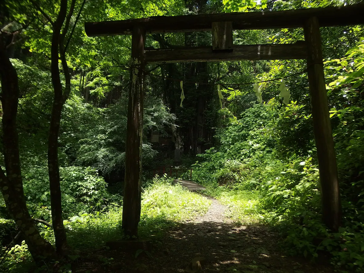
A 599-meter mountain in Tokyo featuring an ancient temple, scenic hiking trails, and world-record annual visitor numbers.
What it is
- A 599-meter mountain located in Hachioji within a quasi-national park.
- The starting point of the long-distance Tokai Nature Trail.
- Home to Yakuoin Temple which was founded on the mountainside in 744.
- A designated Japan Heritage site with a three-star Michelin Green Guide rating.
What to see
- Yakuoin Temple buildings located halfway up the mountain slopes.
- A summit observatory and the Takao Visitor Center for local information.
- A cable car and chairlift system for transport to the mountainside.
- Views of the Ken-O Expressway tunnel passing beneath the mountain terrain.
When to go
- Visit during the winter solstice to see the Diamond Fuji sunset phenomenon.
15
Mount Mihara
TOKYO · PLACE 三原山
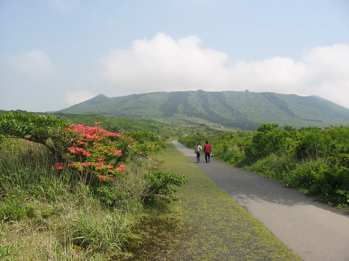
An active basaltic volcano on Izu Oshima island featuring a massive crater rim trail and unique volcanic rock formations.
What it is
- An active volcano on Izu Oshima island with a peak reaching 758 meters.
- A central cone situated within a large caldera primarily composed of basaltic magma.
- A site where major eruptions occur approximately every 100 to 200 years.
- A mountain whose name likely derives from a word meaning womb.
What to see
- A deep pit hole inside the crater measuring roughly 200 meters down.
- The Godzilla Rock formation created by lava during the 1986 eruption.
- Paved walking paths that allow visitors to circle the entire crater rim.
- The Ura Desert which is a vast area lacking significant vegetation.
- A landscape shaped by the 1986 eruption that once filled the crater with lava.
16
Mount Suribachi
TOKYO · PLACE 摺鉢山
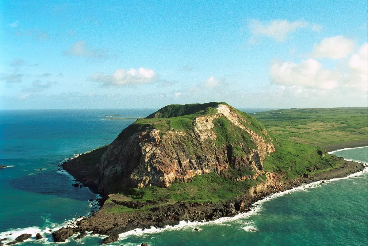
A historic volcanic peak on Iwo Jima known for its role in World War II and the iconic flag-raising site.
What it is
- An andesitic pyroclastic cone volcano also known as Pipe Mountain.
- A major World War II battlefield where the Japanese military dug seven layers of tunnels.
- The site of the famous flag raising depicted in the Marine Corps War Memorial.
- A location where unrecovered human remains still lie within the soil.
What to see
- The 172-meter summit offering views of the surrounding island terrain.
- War memorials and monuments located at both the summit and the base.
- The crater wall which was partially destroyed by United States naval gunfire.
- Remnants of the interior tunnels used for artillery positions during the war.
17
Imonoki Dokke
TOKYO · PLACE 芋木ノドッケ
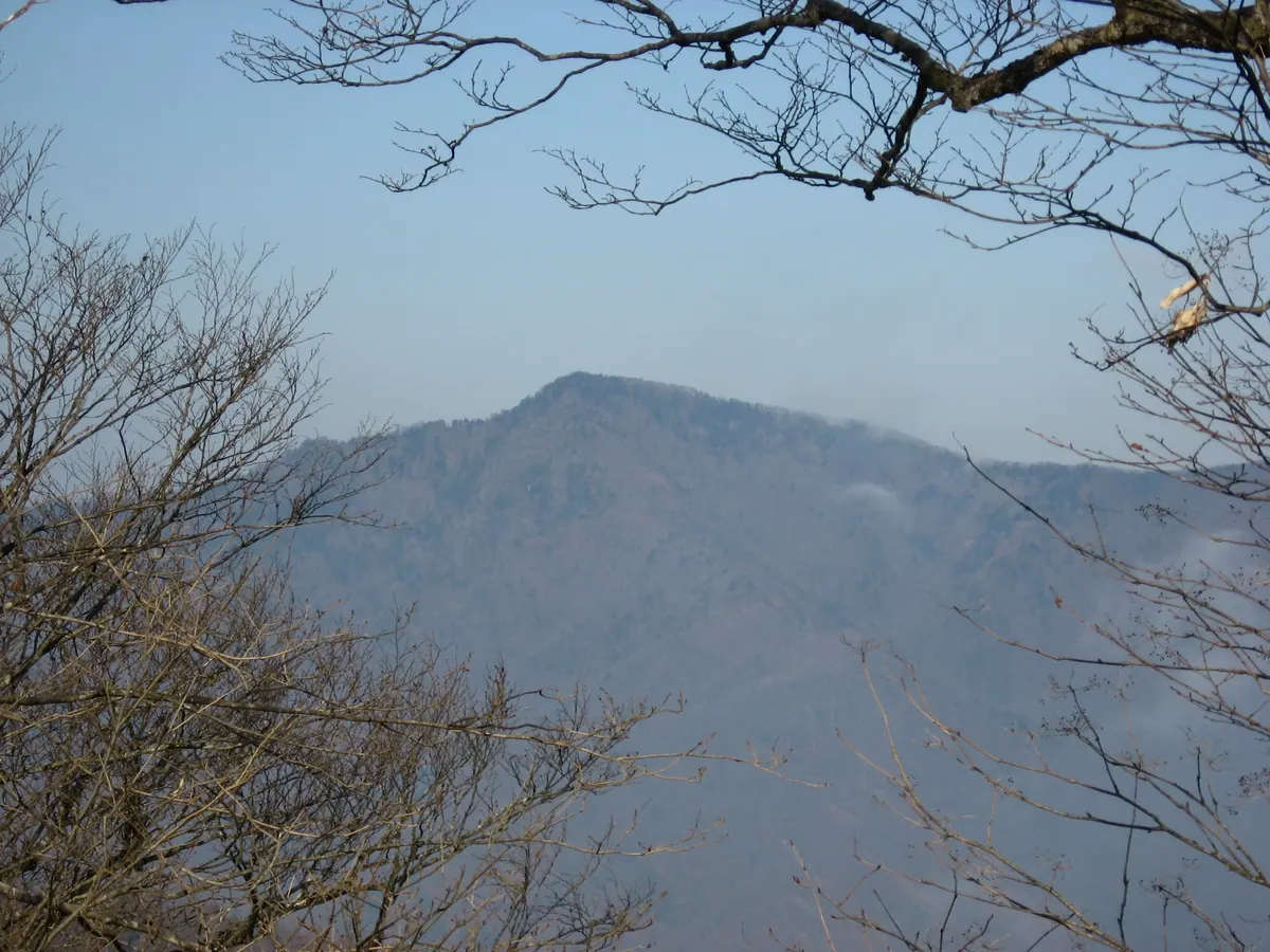
A sharp 1,946-meter peak on the Tokyo-Saitama border, serving as the second highest point in Tokyo within the Okuchichibu Mountains.
What it is
- A 1,946-meter mountain peak located on the border of Saitama and Tokyo.
- The second highest mountain in Tokyo and part of the Okuchichibu Mountains.
- The name refers to the Koshiabura tree and a sharp mountain peak.
- A junction point for the Nagasawa Backbone ridge between Mount Shiraiwa and Mount Kumotori.
What to see
- The sharp mountain peak standing at an elevation of 1,946 meters.
- The surrounding mountain landscape between Mount Shiraiwa and Mount Kumotori.
- Nearby mountain facilities including the Shiraiwa Hut and Kumotori Sanso.
- Local trail signs and maps marking the junction of the Nagasawa Backbone.
18
Mount Atago
TOKYO · PLACE 愛宕山
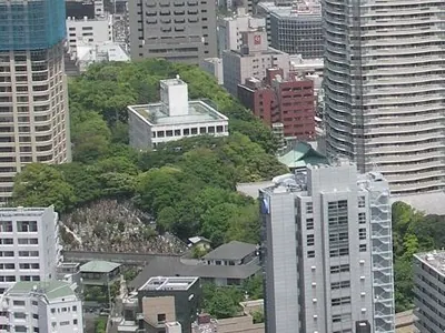
The highest natural hill in central Tokyo featuring a historic shrine, a broadcasting museum, and a famous steep stone staircase.
What it is
- The highest natural hill in Tokyo's 23 wards with an elevation of 25.7 meters
- A shrine site ordered by Tokugawa Ieyasu in 1603 to protect the city
- The location where Japan's first live radio broadcast originated
- A former NHK television transmission station site in Minato Ward
What to see
- Atago Shrine located at the very top of the hill
- The NHK Museum of Broadcasting situated on the summit
- A steep stone staircase called Otokozaka with 86 steps known as Success Steps
- The Atago Tunnel which is the only mountain tunnel in central Tokyo
- An elevator providing access to the summit from the east side
19
Mount Hakone
TOKYO · PLACE 箱根山
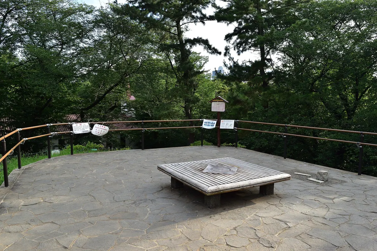
The highest point within the Yamanote Line loop, this man-made mountain offers a unique climbing certificate in Shinjuku's Toyama Park.
What it is
- A man-made mountain standing at an elevation of 44.6 meters inside Toyama Park.
- The highest point located within the Yamanote Line loop in Tokyo.
- Originally built as a garden for the Owari Tokugawa family using soil excavated from a pond.
- A former site of the Rikugun Toyama School used as a filming location for television dramas.
What to see
- Benches installed at the summit for visitors to rest after the climb.
- Mountain climbing certificates issued by the park service center to commemorate the ascent.
When to go
- April for the Azalea Festival which first began in 2018.
20
Mount Sōgaku
TOKYO · PLACE 惣岳山
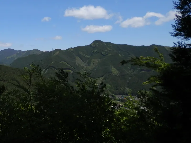
A 756-meter peak in the Takamizu Sanzan group featuring a summit shrine and rugged hiking trails through the Okutama mountains.
What it is
- A 756-meter mountain peak located on the border of Ome and Okutama.
- Part of the Takamizu Sanzan mountain group within the Chichibu range.
- Home to the Aoi Shrine which is situated directly at the summit.
- One of three neighboring peaks alongside Mount Takamizu and Mount Iwataishi.
What to see
- The Aoi Shrine buildings located at the highest point of the mountain.
- A rocky stretch of trail on the route leading from Mount Iwataishi.
- Views of the surrounding Okutama mountain area from the summit.
- Nearby mountain landscapes including Mount Bounoore and Mount Kuroyama.