Mount Iwatakeishi
岩茸石山
A 793-meter peak in the Okutama area offering a hiking circuit through the Takamizu Sanzan mountain range.
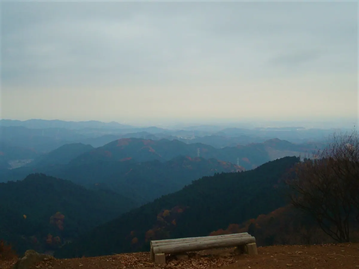
What it is
- A 793-meter mountain peak located on the border of Ome and Okutama.
- Part of the Takamizu Sanzan mountains alongside Mount Takamizu and Mount Sotake.
- A natural landmark situated along the Tama River and Ikawa River basin.
- Neighbors other regional peaks including Mount Bounoore and Mount Kuroyama.
What to see
- The Masugataki waterfall located on the side of the mountain.
- Views from the summit overlooking the Okutama mountain area.
- The surrounding landscape of the Takamizu Sanzan mountain range.
Getting there
- Access the mountain trails via Ikusabata Station.
- Railway access is available through nearby Sawai Station.
- Mitake Station serves as another entry point for visitors.
Notes written by Japan Gems from facts in Japanese Wikipedia.
Where it is
Mount Iwatakeishi Open in Google Maps
この施設の関係者の方へ
このページは公開情報をもとに Japan Gems が作成し、訪日外国人向けに英語で掲載しています。 写真や情報の追加・修正を承っています。お店の写真に差し替えることもできます。
このページの情報を更新する