Mount Kotohira
琴平山
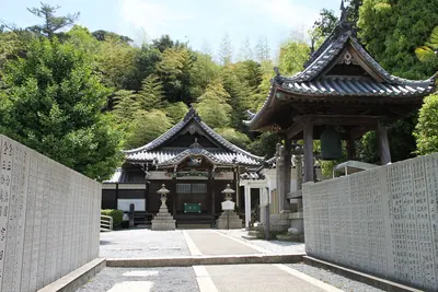
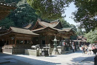
A 524-meter peak home to the famous Kotohira-gu Shrine, historically used by sailors to predict weather conditions.
What it is
- A mountain peak reaching 524 meters also known as Mount Oasa or Mount Zozu.
- The site of Kotohira-gu Shrine dedicated to the deity Omononushi.
- A landmark featured in the traditional folk song Konpira Funefune.
- A historic navigation point used by sailors to predict weather conditions.
What to see
- Kotohira-gu Shrine located on the southern side of the mountain.
- A hiking trail connecting the northern and southern peaks.
- The highest point of the mountain range reaching 616 meters.
- A road spanning Zentsuji City, Kotohira Town, and Mitoyo City.
Getting there
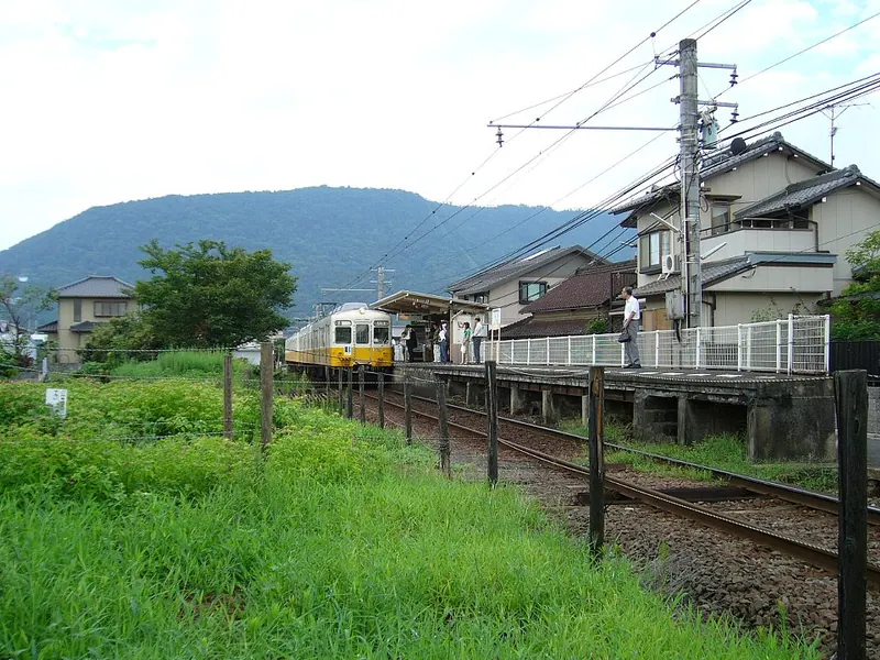
- The mountain is located three kilometers west of Kotohira Station.
Notes written by Japan Gems from facts in Japanese Wikipedia.
Where it is
Mount Kotohira Open in Google Maps
この施設の関係者の方へ
このページは公開情報をもとに Japan Gems が作成し、訪日外国人向けに英語で掲載しています。 写真や情報の追加・修正を承っています。お店の写真に差し替えることもできます。
このページの情報を更新する