

20 Mountains in Kagawa worth your time
Japan Gems
20 Mountains in Kagawa, with what to see and how to get there.
Kagawa has 20 mountains on Japan Gems. Below are the 20 we can tell you the most about — each one written up in English from Japanese sources, with what to see and how to get there. See all mountains in Kagawa.
01
Goshikidai
KAGAWA · PLACE 五色台
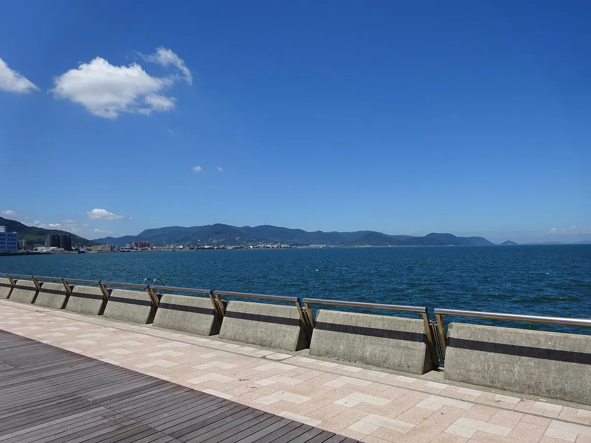
A volcanic mesa in Setonaikai National Park featuring ancient pilgrimage temples, a royal mausoleum, and panoramic coastal views.
What it is
- A mountain massif and mesa formed by volcanic activity 13 million years ago
- Part of the Setonaikai National Park since its incorporation in 1950
- Home to the Shiromineji and Negoroji temples of the 88-temple Shikoku Pilgrimage
- The site of the Kokubundai ruins containing Paleolithic stone tools
What to see
- The highest peak at Inoshiriyama reaching 483 meters above sea level
- The mausoleum of Emperor Sutoku located on the temple grounds
- Sanukite stones which are designated as the official prefectural stone of Kagawa
- The Setonaikai Historical Folk Museum located within the mountain area
- Broadcasting stations that serve as a regional communications hub
- Scenic views from the Goshikidai Skyline road across the mountain ridges
Getting there
- Access is available via the Goshikidai Skyline road across the ridges
- There are no bus routes that travel up the mountain
02
Yashima
KAGAWA · PLACE 屋島
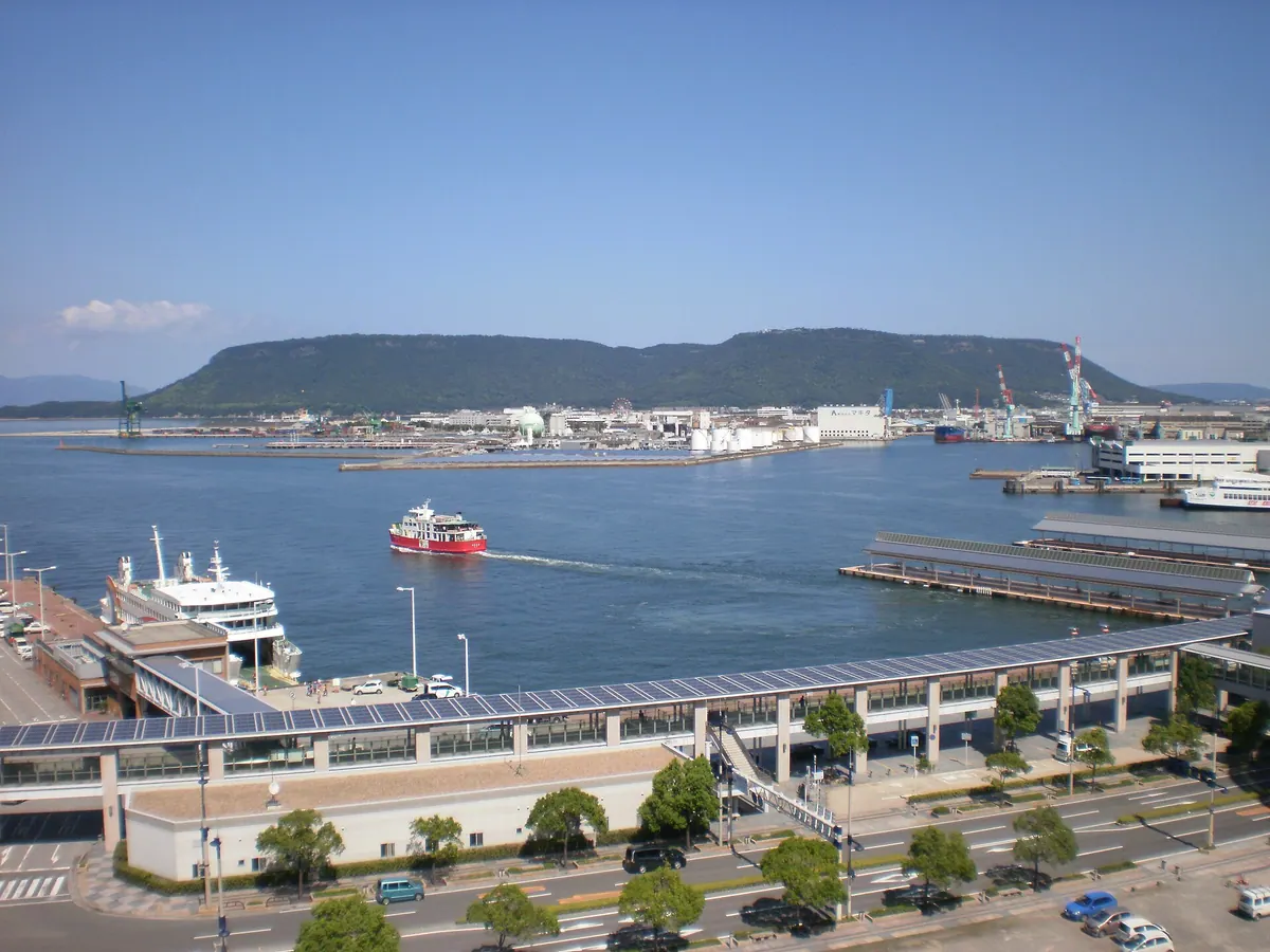
A historic 292-meter lava plateau and former island offering a pilgrimage temple, aquarium, and views of a famous Genpei battlefield.
What it is
- A 292-meter-high lava plateau and mesa designated as a National Strategic Site and Natural Monument.
- The 84th temple of the Shikoku Pilgrimage, known as Yashima Temple.
- A major Genpei War battlefield that was an island until the Edo period.
- Japan's first national park, designated in 1934 on the site of a former castle.
What to see
- The New Yashima Aquarium located directly on the mountain summit.
- The Yashimaru base facility which opened on the summit in 2022.
- Ancient castle ruins built following the Battle of Hakusukinoe.
- Panoramic views of the surrounding area from the Yashima Skyway ridge.
Getting there
- Shuttle buses run to the summit from JR Yashima and Kotoden Yashima stations.
- Vehicle access is available via the Yashima Skyway to the southern ridge.
03
Mount Shiude
KAGAWA · PLACE 紫雲出山
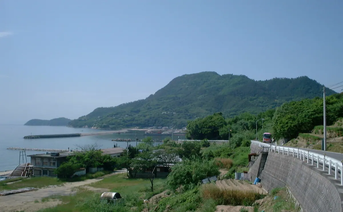
A 352-meter peak in Setonaikai National Park featuring ancient archaeological sites and famous seasonal floral displays overlooking the sea.
What it is
- A 352-meter mountain located on the Shonai Peninsula within Setonaikai National Park.
- Site of a Yayoi period settlement featuring reconstructed pit dwellings and a museum.
- One of the 100 Best Forest Bathing Spots in Japan.
- A destination recognized by the New York Times for its scenic views.
What to see
- Reconstructed ancient pit dwellings and an archaeological museum at the summit.
- Excavated artifacts including prehistoric arrowheads and stone axes.
- Extensive park grounds filled with cherry blossoms and hydrangeas.
- Natural formations of Sanukitoid andesite volcanic rock at the peak.
Getting there
- A paved road allows visitors to reach the mountain top by car.
- Hiking trails lead to the summit from Ohama and Hako Pass.
04
Mount Zōzu
KAGAWA · PLACE 象頭山
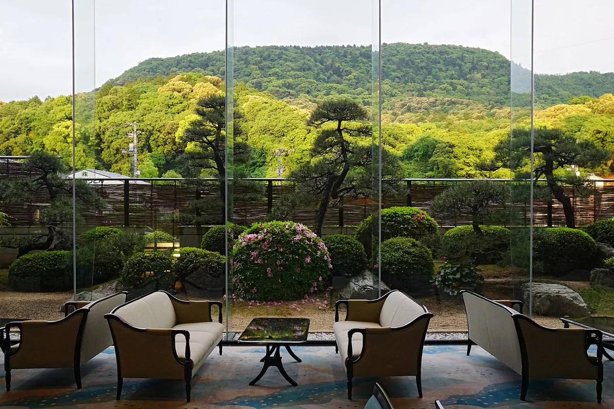
A scenic mountain shaped like an elephant head, home to the famous Kotohira-gu Shrine and views of the Sanuki Plain.
What it is
- A 616-meter peak in western Kagawa Prefecture also known as Mount Osa
- The name refers to the mountain's resemblance to the shape of an elephant head
- A designated National Scenic Beauty spot formerly protected from logging by the Takamatsu Domain
- The site of Kotohira-gu Shrine and an inner shrine located at 400 meters elevation
What to see
- The Kotohira-gu Shrine complex situated on the mountainside
- An inner shrine standing at an elevation of 400 meters
- Panoramic views of the Sanuki Plain from the mountain summit
- Geological formations consisting of granite at the base and volcanic rocks above
Getting there
- The mountain is located 3 kilometers from Kotohira Station
05
Daisenzan
KAGAWA · PLACE 大川山
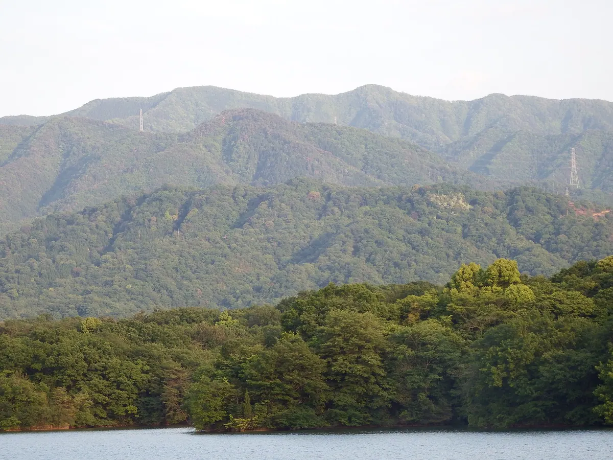
A 1,042-meter peak in the Sanuki Mountains featuring a summit shrine, observatory, and views over Kagawa and Tokushima prefectures.
What it is
- A 1,042.7 meter mountain located on the border of Kagawa and Tokushima prefectures.
- The second highest peak in Kagawa and one of the 100 Famous Mountains of Shikoku.
- Part of the Otaki-Okawa Prefectural Natural Park consisting of Cretaceous sandstone and mudstone.
- A natural site situated above the Median Tectonic Line which runs along its southern foot.
What to see
- Daisen Shrine which stands at the summit of the mountain.
- The Manno Observatory established at the peak in 2014.
- An observation terrace and a campground located at the summit area.
- A traditional Zuishinmon gate found along the Noguchi climbing route.
- A second-class triangulation point marking the highest point of the peak.
06
Mount Hoshigajō
KAGAWA · PLACE 星ヶ城山
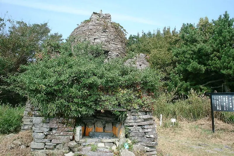
The highest peak in the Seto Inland Sea featuring 14th-century castle ruins and panoramic views from a volcanic mesa.
What it is
- The highest peak in the Seto Inland Sea at 816 meters above sea level.
- A geologically significant mesa formed by andesite lava flows.
- Site of a 14th-century mountain castle designated as a prefectural historic site.
- Part of the Setonaikai National Park and one of the Shikoku 100 Famous Mountains.
What to see
- The summit area divided into distinct East and West peaks.
- A first-class triangulation point located on the East Peak.
- Historic ruins of a medieval mountain castle scattered across the heights.
- Views of the surrounding islands from the highest point on Shōdo Island.
Getting there
- The Kankakei Ropeway provides access to the nearby mountain plateau.
07
Mount Kabuto
KAGAWA · PLACE 甲山
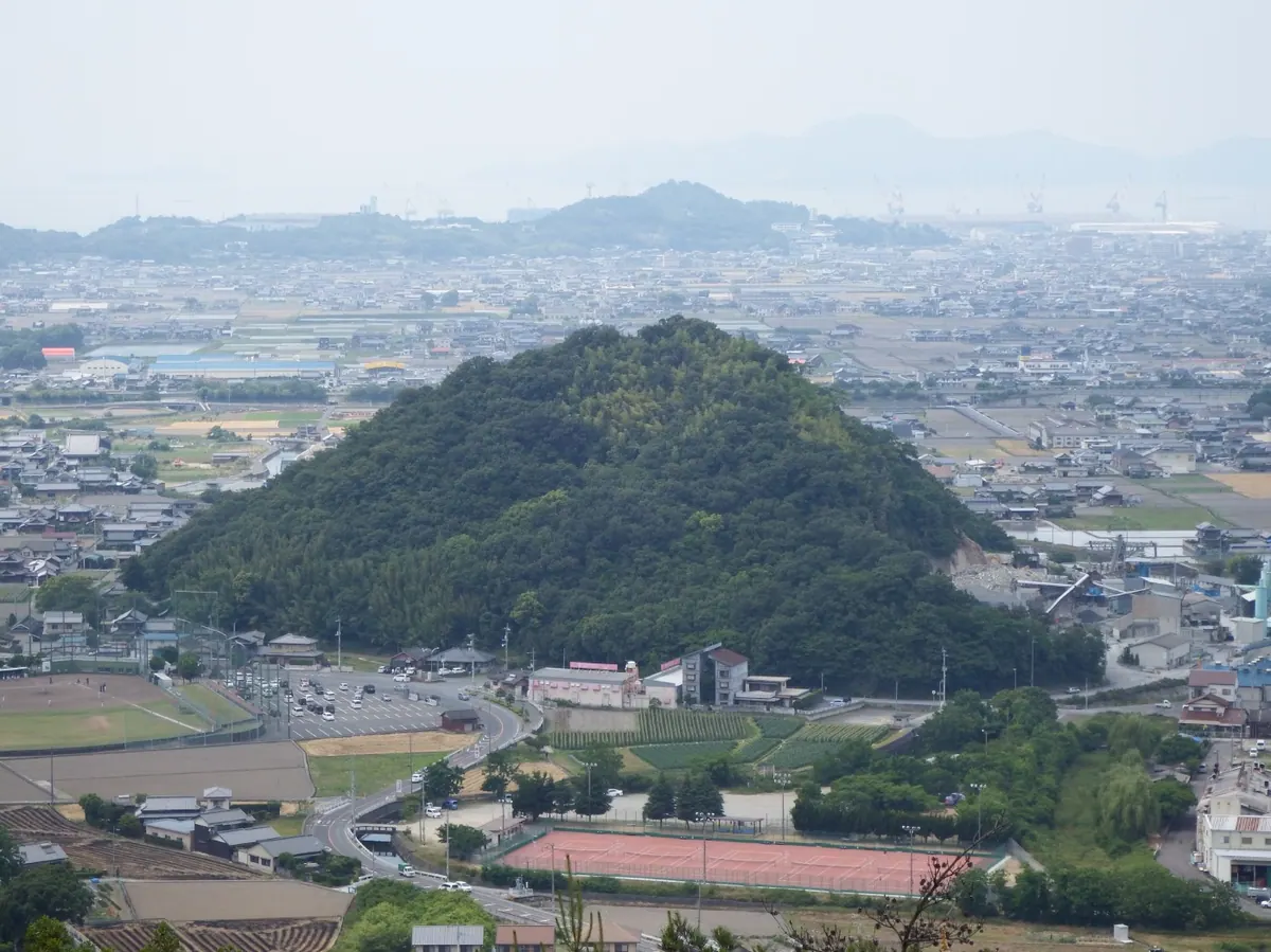
A historic 87-meter peak featuring stone Buddhas, imperial monuments, and a trailhead at the 74th Shikoku Pilgrimage temple.
What it is
- A mountain with an elevation of 87.2 meters in Zentsuji City.
- The site of a former branch castle from the Muromachi period.
- A location recommended as a National Historic Site in 2024.
- The mountain features a trailhead starting from the grounds of Kozanji Temple.
What to see
- Stone Buddha statues from the Edo period lining the mountain paths.
- Stone monuments dedicated to Emperor Jimmu and Emperor Komei at the peak.
- The Bishamon Cave located on the mountainside behind Daishido Hall.
- A children's playground situated along the mountain trail.
- Kozanji Temple, the 74th temple of the Shikoku Pilgrimage, at the foot.
- A triangulation point located just below the highest peak.
08
Mount Goken
KAGAWA · PLACE 五剣山
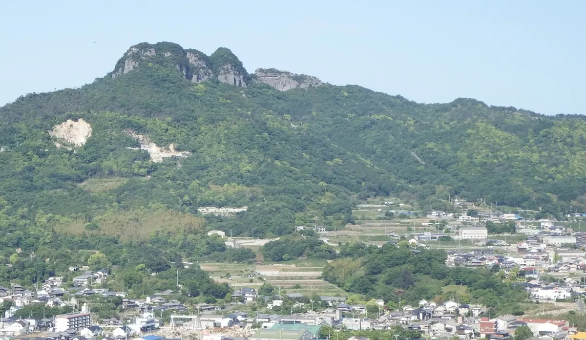
A five-peaked mountain in Takamatsu home to the 85th Shikoku Pilgrimage temple and famous for its high-quality granite.
What it is
- A mountain also known as Mount Yakuri consisting of five distinct peaks.
- The site of Yakuri-ji Temple, the 85th stop on the Shikoku Pilgrimage.
- A source of high-quality Aji granite and one of Kagawa's 100 Greenery Sites.
- The fifth peak remains split following the 1707 Hoei earthquake.
What to see
- The Yakuri-ji Temple complex located on the mountain slopes.
- A three-meter Buddhist carving situated on the mountain cliffs.
- Five peaks named from west to east, with the fourth peak reaching 375 meters.
- Views of the mountain accessible via the Yakuri Cable Car.
When to go
- Public access to the peaks is currently prohibited due to erosion risks.
09
Mount Tsukumo
KAGAWA · PLACE 江甫草山
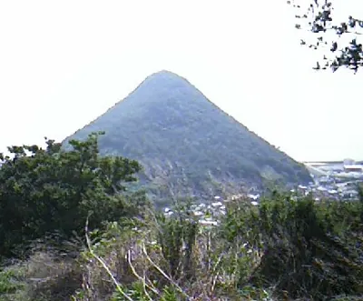
A conical peak known as Ariake Fuji featuring castle ruins and panoramic views of the Seto Inland Sea.
What it is
- A conical mountain composed of sanukite andesite rock known as Ariake Fuji.
- One of the Sanuki Seven Fujis located in Kan'onji City.
- Site of the former Tsukumoyama Castle built by Hosokawa Ujimasa.
- A natural landmark shaped by erosion with steep cliffs on the sea side.
What to see
- Panoramic views of the Seto Inland Sea from the mountain summit.
- Remaining ruins of stone walls and earthen mounds from the former castle.
- A fourth-class triangulation point located at the highest peak.
- Dramatic cliffs created by historical quarrying on the coastal side.
Getting there
- A hiking trail starts from Kotaishi Shrine in Muromoto to reach the summit.
10
Mount Ōsa
KAGAWA · PLACE 大麻山
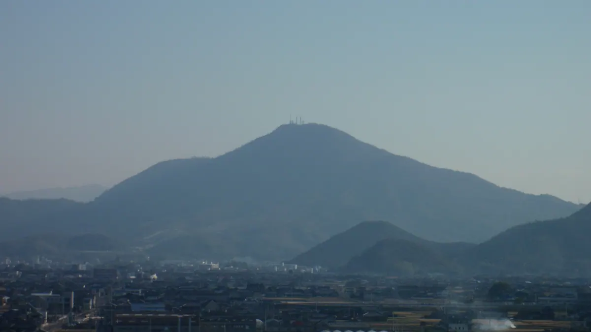
A 616-meter mesa in Setonaikai National Park featuring the famous Kotohira-gu Shrine and ancient natural monuments.
What it is
- A 616-meter mesa mountain designated as part of Setonaikai National Park.
- One of the Shikoku 100 Famous Mountains spanning Zentsuji, Kotohira, and Mitoyo.
- A volcanic rock formation also known as Mount Zozu or Mount Kotohira.
- A site of historical significance containing the third-century Notain Kofun burial mound.
What to see
- The Kotohira-gu Shrine located on the eastern side of the mountain.
- A community of camphor trees designated as a national natural monument.
- The Ryuo-sha shrine situated on the summit ridge for rain prayers.
- Radio towers and a second-class triangulation point at the peak.
- A campsite located on the northern mountainside for outdoor stays.
11
Mount Kotohira
KAGAWA · PLACE 琴平山
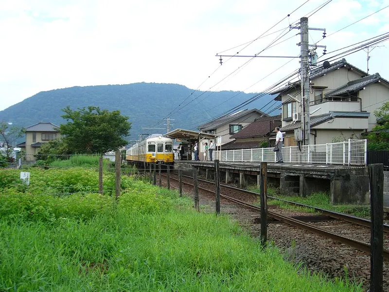
A 524-meter peak home to the famous Kotohira-gu Shrine, historically used by sailors to predict weather conditions.
What it is
- A mountain peak reaching 524 meters also known as Mount Oasa or Mount Zozu.
- The site of Kotohira-gu Shrine dedicated to the deity Omononushi.
- A landmark featured in the traditional folk song Konpira Funefune.
- A historic navigation point used by sailors to predict weather conditions.
What to see
- Kotohira-gu Shrine located on the southern side of the mountain.
- A hiking trail connecting the northern and southern peaks.
- The highest point of the mountain range reaching 616 meters.
- A road spanning Zentsuji City, Kotohira Town, and Mitoyo City.
Getting there
- The mountain is located three kilometers west of Kotohira Station.
12
Maedayama
KAGAWA · PLACE 前田山
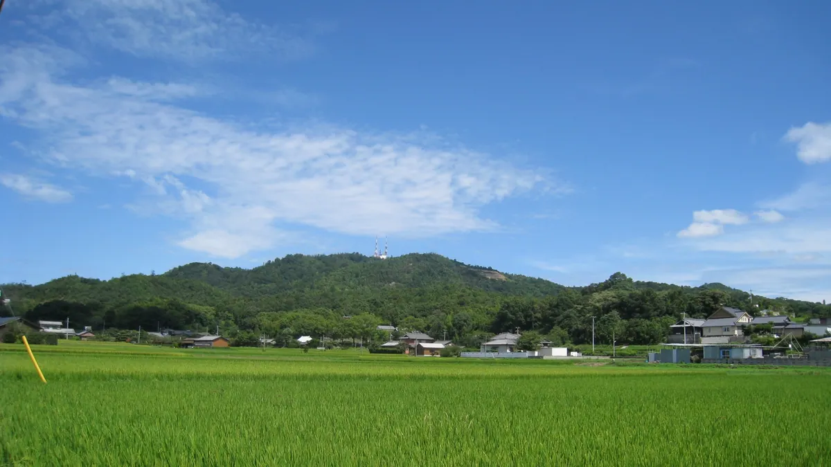
A 280-meter hill range overlooking Takamatsu, serving as a major broadcasting hub and home to a local golf course.
What it is
- A hill range reaching 280 meters on the border of Takamatsu and Miki.
- The primary transmission site for NHK Takamatsu and other television broadcasters.
- A landscape defined by uplifted fans, terraces, and erosion valleys.
- The site of the Yashima Country Club golf course and local school grounds.
What to see
- Two large radio towers transmitting signals to the Takamatsu metropolitan area.
- Five triangulation points located across the various peaks of the range.
- The Shin-Tateishi Tunnel which carries Kagawa Prefectural Road 38 through the mountain.
- Views of the surrounding terrain from the narrow road leading to the summit.
13
Mount Aonoyama
KAGAWA · PLACE 青ノ山
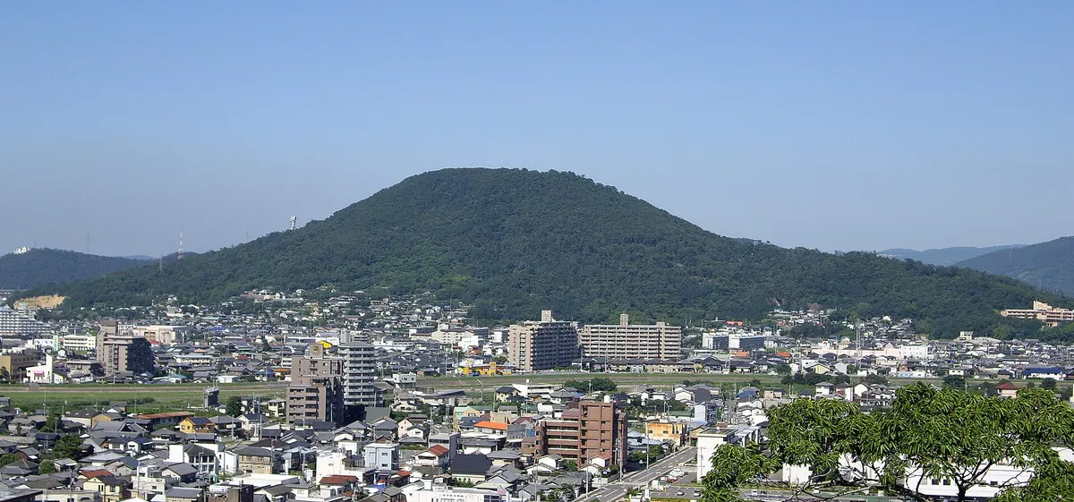
A 224-meter peak featuring ancient burial mounds and an observation deck with views of the Seto Inland Sea.
What it is
- A 224-meter mountain on the border of Marugame and Utazu also called Mount Dokiyama.
- One of the Top 100 Greenery sites in Kagawa Prefecture.
- A summit area containing more than ten ancient burial mounds.
- Site of the Bisan Seto Maritime Traffic Advisory Service Center.
What to see
- An observation deck and park located at the mountain summit.
- Ancient burial mounds and an old kiln site found on the mountain.
- Views from a 430-meter hiking trail leading to the peak.
Getting there
- The mountain base is a thirty-minute walk from Utazu Station.
- A vehicle road leads to a free parking lot near the top.
14
Mount Fude
KAGAWA · PLACE 筆ノ山
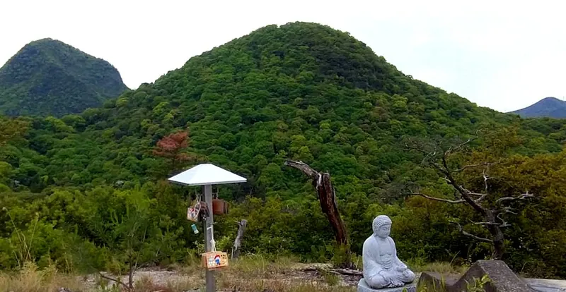
This 296-meter peak in Kagawa resembles a brush tip and offers a historic hiking route through the Gogakusan mountain range.
What it is
- A 296-meter mountain peak located in Zentsuji City, Kagawa Prefecture.
- One of the five peaks that comprise the Gogakusan mountain range.
- Named for its shape which resembles the tip of a writing brush.
- Artillery units used the mountain for target practice during the Bakumatsu period.
What to see
- The summit situated between Mount Koshiki and Mount Gahaishi.
- Views from the peak also known locally as Dondoyama.
- The Hiratani trailhead located at an elevation of 77 meters.
Getting there
- The summit is a 35-minute hike from the Osaka Pass.
- Small parking area for two or three cars at Osaka Pass.
15
Mount Gahaishi
KAGAWA · PLACE 我拝師山
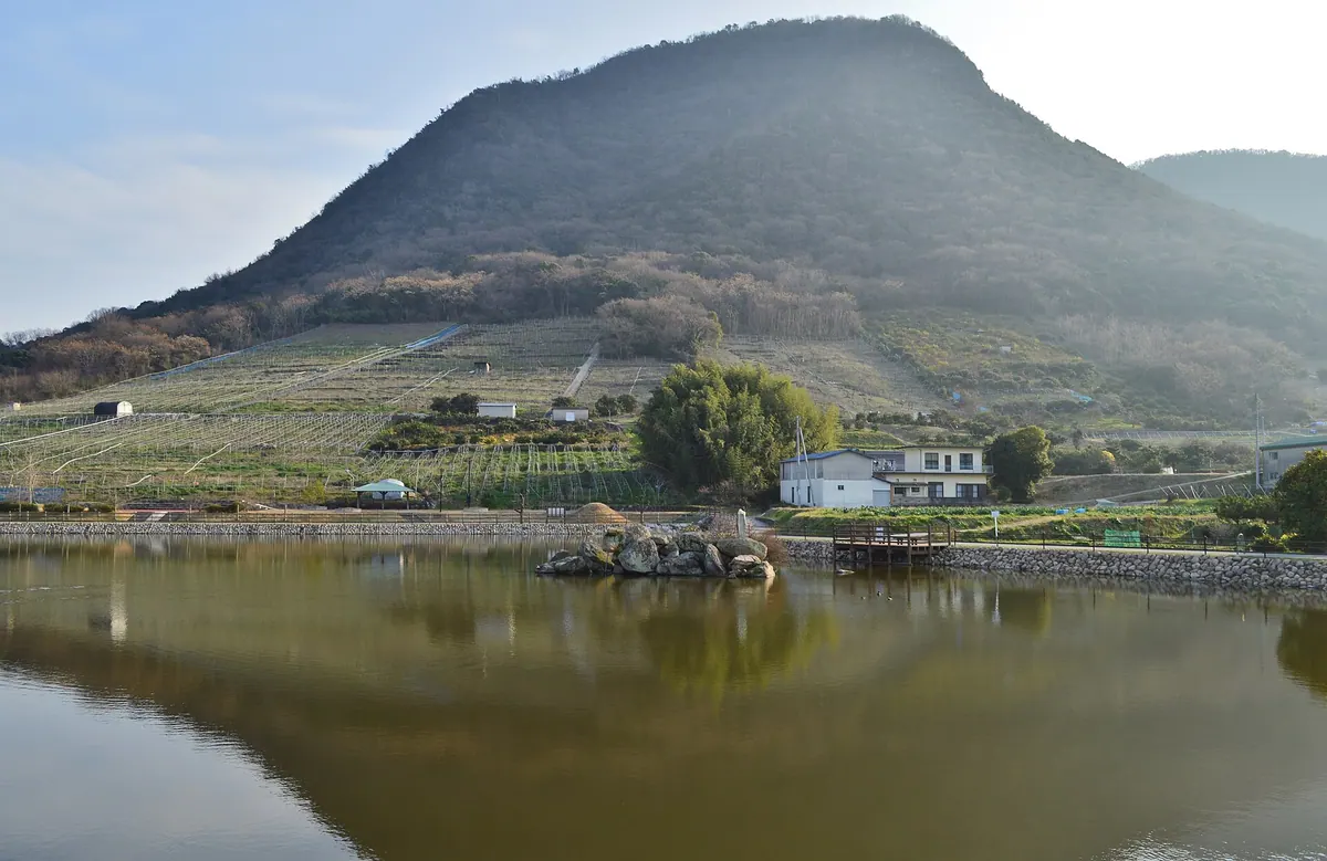
A 481-meter peak in Kagawa where Kobo Daishi trained, featuring historic temples and unique volcanic rock formations.
What it is
- The highest peak of the Zentsuji Gogakuzan range at 481 meters
- A sacred site where the Buddhist monk Kobo Daishi is said to have trained
- One of the Shikoku 100 Mountains, geologically classified as a monadnock
- A mountain featuring upper layers of Miocene volcanic rocks and sanukitoid andesite
What to see
- Shushakaji Temple located at the northern foot of the mountain
- Zennjoji Temple, which serves as an inner sanctuary on the mountainside
- The steep cliffs of the Shashingatake area made of volcanic stone
- A relatively flat summit area covered with trees
- A third-class triangulation point marking the highest elevation
16
Mount Ryūō
KAGAWA · PLACE 竜王山
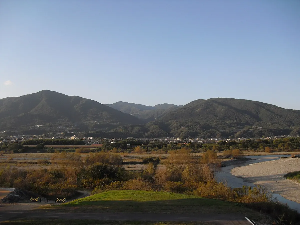
The highest peak in the Sanuki Mountains offering panoramic views and a shrine on the Kagawa-Tokushima border.
What it is
- The highest peak in the Sanuki Mountains standing at 1059.7 meters.
- A mountain also known as Takayama located on the Kagawa and Tokushima border.
- Part of the Otaki Okawa Prefectural Natural Park and the 100 Famous Mountains of Shikoku.
- A summit divided into two distinct peaks named Sanuki Ryuo and Awa Ryuo.
What to see
- An observation deck located on the Awa Ryuo section of the summit.
- Mizuhame Shrine situated on a section of the mountain top.
- A fourth-class triangulation point found at the Awa Ryuo peak.
- Geological formations consisting of sandstone and mudstone from the Izumi Group.
17
Mount Iino
KAGAWA · PLACE 飯野山
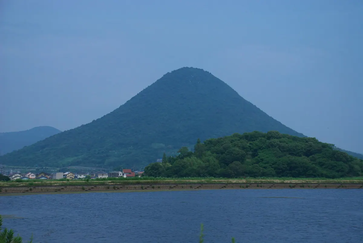
A 422-meter volcanic butte known as Sanuki Fuji, offering hiking trails and cultural legends within Setonaikai National Park.
What it is
- A 422-meter high mountain also known as Sanuki Fuji.
- A geological butte located within the Setonaikai National Park.
- A peak composed of Late Cretaceous granite and Miocene volcanic rocks.
- A landmark situated in Marugame and Sakaide cities.
What to see
- The Okunoin Yakushido temple located at the summit.
- A third-class triangulation point marking the highest elevation.
- Summit rocks associated with a local giant footprint legend.
- Three distinct hiking routes leading to the top of the mountain.
When to go
- Sanuki Fuji Day is celebrated annually on April 22.
18
Mount Yahazu
KAGAWA · PLACE 矢筈山
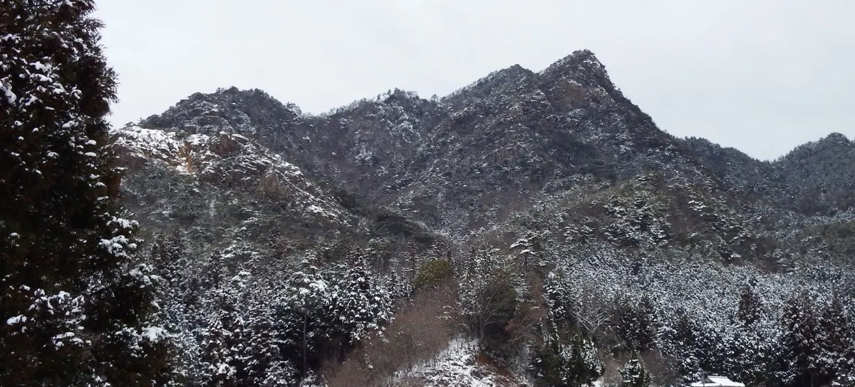
A twin-peaked mountain in the Sanuki range offering a short hike to one of Shikoku's 100 famous summits.
What it is
- A 789-meter peak located within the Sanuki Mountain Range in Kagawa Prefecture.
- The name originates from the distinct shape of its two peaks.
- One of the peaks features a first-class triangulation point at 787.5 meters.
- The mountain is officially recognized as one of the Shikoku 100 Famous Mountains.
What to see
- Two distinct peaks that give the mountain its name.
- A trailhead located directly beside the Yahazu Tarobee forest road.
- The summit area reachable within a thirty-minute walk from the trail start.
- The Yahazu Tarobee forest road which also passes through nearby Mount Nyotai.
19
Mount Kotohiki
KAGAWA · PLACE 琴弾山
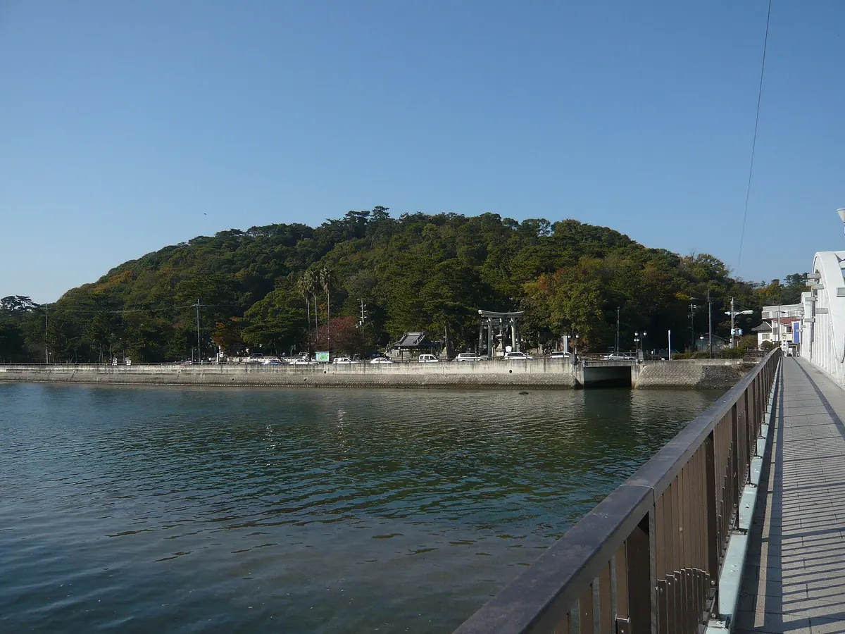
A coastal mountain featuring a massive sand coin painting, historic temples, and a shrine within a national park.
What it is
- A seventy meter mountain located within the Setonaikai National Park.
- The site of Kotohiki Park which was established in 1897.
- One of the 100 Famous Mountains of Shikoku.
- Home to Kotohiki Hachiman Shrine at the summit and two temples at the base.
What to see
- The Zenigata Sand Painting depicting a giant Kanei Tsuho coin.
- Panoramic views from the Zogahana Observation Deck overlooking the sand art.
- Kotohiki Hachiman Shrine situated at the mountain summit.
- Jinne-in Temple and Kanon-ji Temple located at the foot of the mountain.
20
Mount Unpenji
KAGAWA · PLACE 雲辺寺山
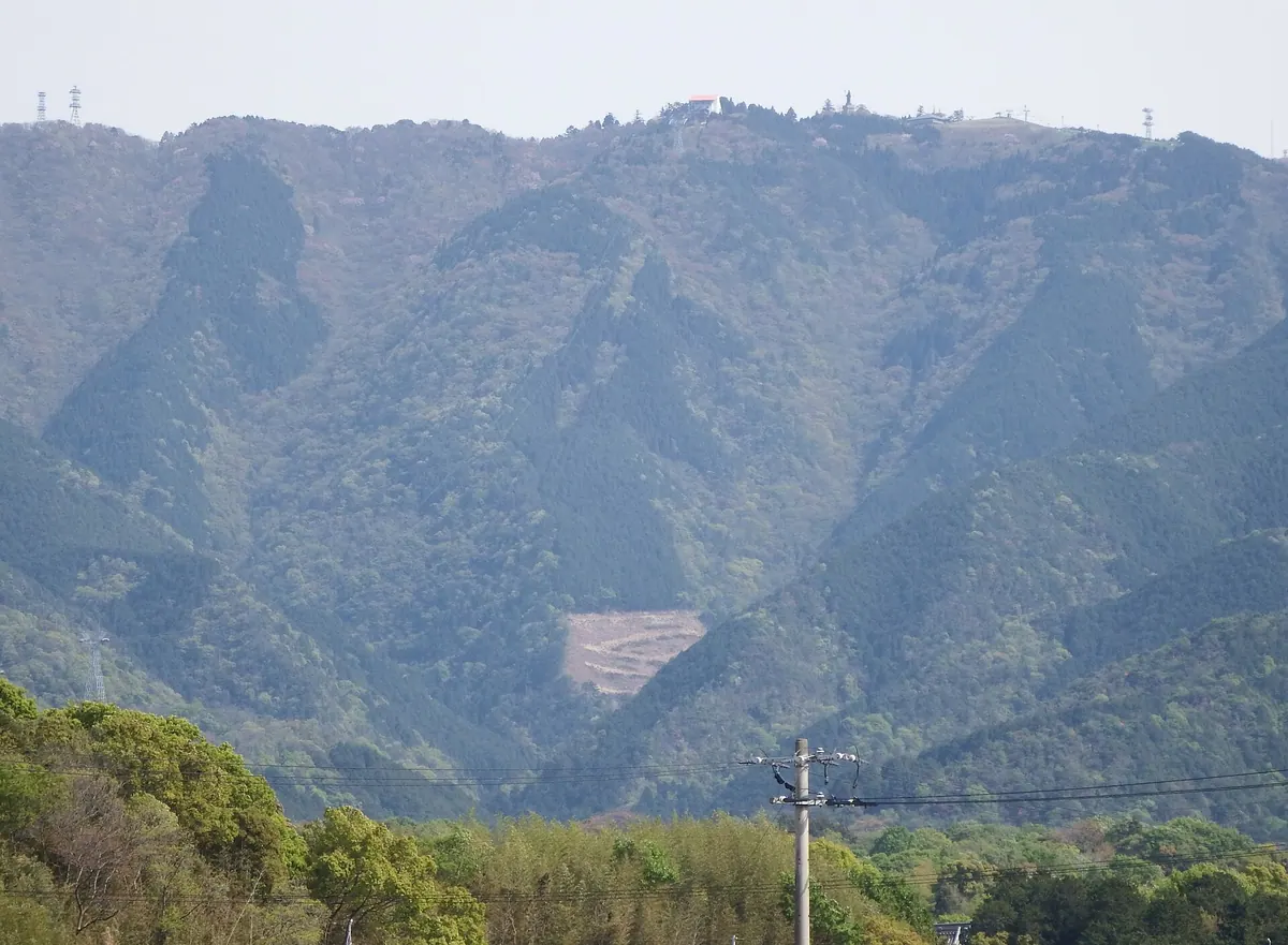
A 927-meter peak featuring the 66th Shikoku Pilgrimage temple, accessible by ropeway with panoramic views and a summit park.
What it is
- A 927-meter mountain on the border of Tokushima and Kagawa prefectures.
- The site of Unpenji Temple, the 66th stop on the Shikoku Pilgrimage.
- One of the Shikoku 100 Famous Mountains featuring sandstone and conglomerate rock.
- A summit area containing radio towers and a public park.
What to see
- Unpenji Temple located at the top of the mountain.
- The Tenku no Buranko swing set within the summit park.
- Bishamonten Tenbokan observation tower at the highest point.
- The Unpenji Ropeway which has been in operation since 1987.