Mount Kumakura
熊倉山
A 1,426-meter peak in the Okuchichibu range offering challenging hiking trails for experienced climbers seeking a rugged mountain experience.
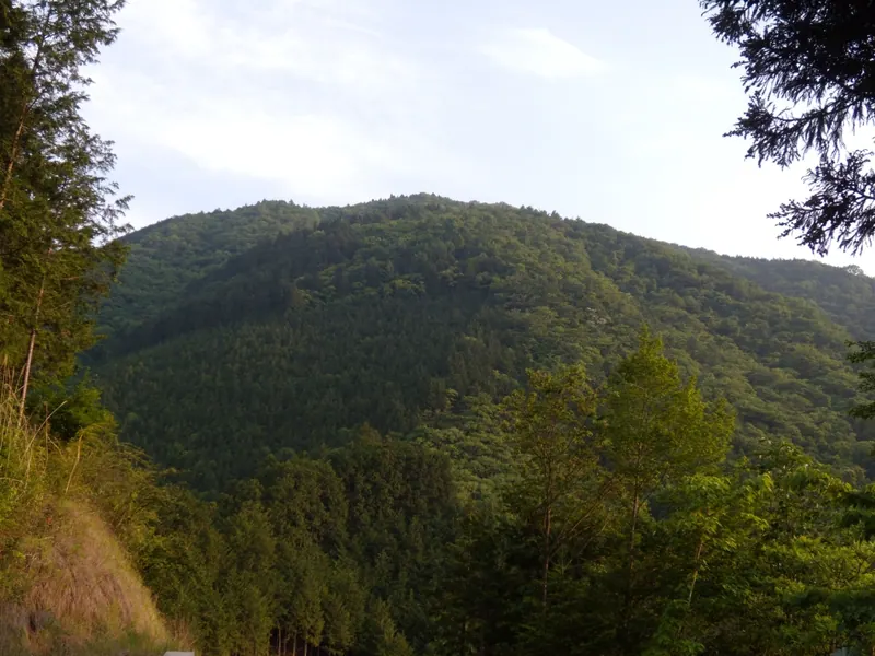
What it is
- A mountain peak standing at 1,426.5 meters in the Okuchichibu mountain range.
- A destination for experienced hikers with an elevation gain of approximately 1,100 meters.
- A site known for a high frequency of distress calls and mountain accidents.
- Part of a ridge system extending from the Nagasawa Ridge in Saitama Prefecture.
What to see
- The mountain summit located on a ridge near Toritani Mountain.
- A hiking route that follows a natural stream along the Hino path.
- The Toritani evacuation hut located in the surrounding mountain area.
- Views from the ridge along the Shiroyama climbing route.
Getting there
- Access the trailheads from Bushu-Hino Station or Shiroku Station.
- The Hino route takes three hours of walking from the station area.
- The Shiroyama ridge route requires a two-hour hike to reach the top.
- The Shiroku forest road route involves a two and a half hour ascent.
Notes written by Japan Gems from facts in Japanese Wikipedia.
Where it is
Mount Kumakura Open in Google Maps
この施設の関係者の方へ
このページは公開情報をもとに Japan Gems が作成し、訪日外国人向けに英語で掲載しています。 写真や情報の追加・修正を承っています。お店の写真に差し替えることもできます。
このページの情報を更新する