

19 Mountains in Saitama worth your time
Japan Gems
19 Mountains in Saitama, with what to see and how to get there.
Saitama has 19 mountains on Japan Gems. Below are the 19 we can tell you the most about — each one written up in English from Japanese sources, with what to see and how to get there. See all mountains in Saitama.
01
Mount Kumakura
SAITAMA · PLACE 熊倉山
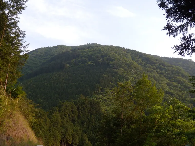
A 1,426-meter peak in the Okuchichibu range offering challenging hiking trails for experienced climbers seeking a rugged mountain experience.
What it is
- A mountain peak standing at 1,426.5 meters in the Okuchichibu mountain range.
- A destination for experienced hikers with an elevation gain of approximately 1,100 meters.
- A site known for a high frequency of distress calls and mountain accidents.
- Part of a ridge system extending from the Nagasawa Ridge in Saitama Prefecture.
What to see
- The mountain summit located on a ridge near Toritani Mountain.
- A hiking route that follows a natural stream along the Hino path.
- The Toritani evacuation hut located in the surrounding mountain area.
- Views from the ridge along the Shiroyama climbing route.
Getting there
- Access the trailheads from Bushu-Hino Station or Shiroku Station.
- The Hino route takes three hours of walking from the station area.
- The Shiroyama ridge route requires a two-hour hike to reach the top.
- The Shiroku forest road route involves a two and a half hour ascent.
02
Mount Hodo
SAITAMA · PLACE 宝登山
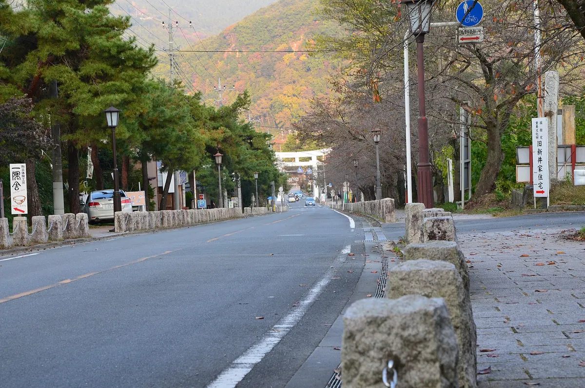
A scenic 497-meter peak in Nagatoro featuring a historic shrine, seasonal flower gardens, and a ropeway with mountain views.
What it is
- A mountain standing 497.1 meters tall in Nagatoro Town, Saitama Prefecture.
- Home to Hodosan Shrine, one of the three major shrines in the Chichibu region.
- The site features an inner sanctuary located at the mountain summit.
- A scenic area near the national monument of Nagatoro Valley and Arakawa River.
What to see
- Hodosan Shrine buildings located at the base and the summit of the mountain.
- A plum garden and a wintersweet garden situated near the upper ropeway station.
- A small animal park located near the top of the mountain.
- The historic former residence of the Arai family.
- The nearby site of the Nishiura Copper Mine.
- Views of the Nagatoro Valley, a designated national monument since 1924.
When to go
- Visit during the blooming seasons for the plum and wintersweet gardens.
- Daytime trips allow for use of the Chichibu Railway ropeway service.
03
Mount Sengen
SAITAMA · PLACE 仙元山
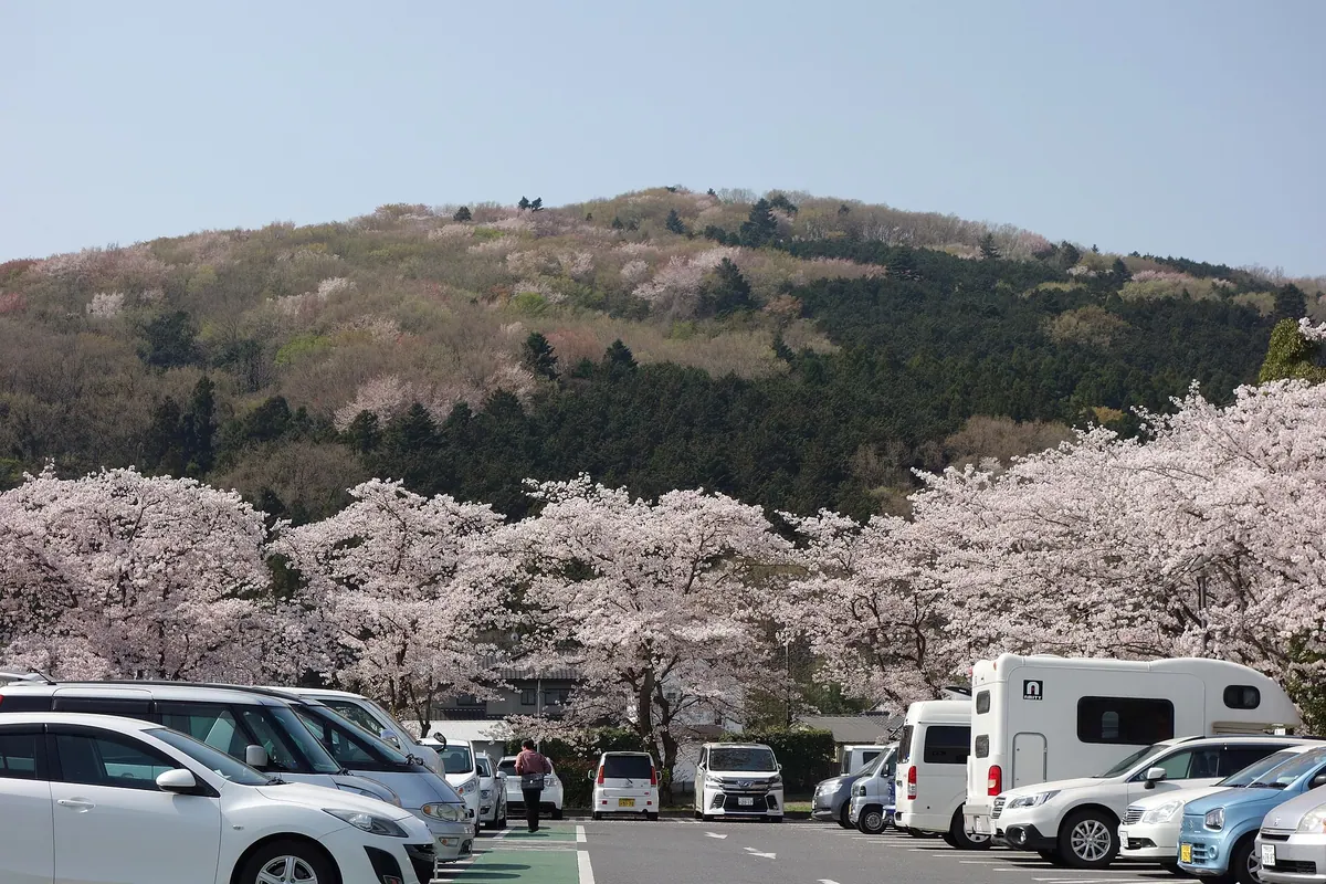
A 299-meter mountain in Saitama featuring a park with a long roller slide and diverse seasonal flowers throughout the year.
What it is
- A mountain peak with an elevation of 299 meters in Ogawa Town.
- Home to Miharashi no Oka Park located on the mountainside.
- Features the former Shimozato Branch School building at the base of the mountain.
What to see
- Panoramic views of Ogawa Town and Mount Haruna from the peak.
- A large roller slide located within the mountainside park.
- Great purple emperor butterflies that appear during the summer months.
When to go
- Late March for blooming katatukuri and soft windflowers.
- April to see cherry blossoms and lilies of the valley.
- Early May for the blooming of azaleas and wisteria.
- Late June to observe the great purple emperor butterflies.
Getting there
- A twenty minute walk from Ogawa-machi Station to the trailhead.
- Six minutes on foot from the Michi-no-Eki Ogawamachi to the trailhead.
04
Mount Ryōkami
SAITAMA · PLACE 両神山
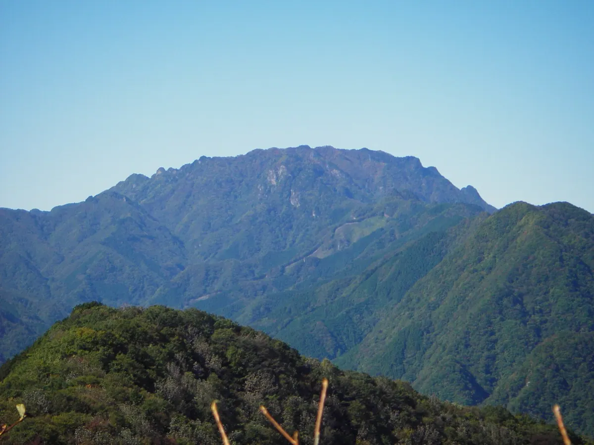
A rugged 1,723-meter peak in Chichibu-Tama-Kai National Park featuring unique wolf statues and challenging chain-assisted climbing routes.
What it is
- A 1,723-meter mountain in Saitama Prefecture within the Chichibu-Tama-Kai National Park
- One of the 100 Famous Japanese Mountains and part of the Chichibu Sanzan trio
- A sacred site enshrining the deities Izanagi and Izanami
- A mountain primarily composed of hard chert rock that was closed to women until 1914
What to see
- Distinctive wolf statues standing at the shrines instead of traditional guardian dogs
- Akayashio azaleas blooming near the summit during the late spring season
- The Hinata-ohtani trail which serves as the primary climbing route for visitors
- Kiyotaki Hut which provides an unmanned shelter for hikers on the mountain
- The Hach丁 Pass route featuring numerous technical sections with fixed chains
When to go
- Late spring to see the Akayashio azaleas in bloom near the summit
05
Mount Ōmochi
SAITAMA · PLACE 大持山
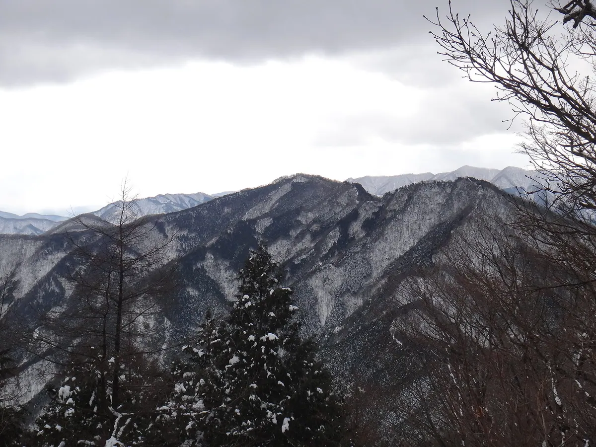
A 1,294-meter peak in the Chichibu Range offering forested trails and ridge views of the Urayama district.
What it is
- A mountain standing 1,294.1 meters tall on the border of Chichibu and Yokoze.
- Part of the Chichibu Mountain Range connected to Mount Komochi and Mount Buko.
- A peak surrounded by trees with a ridge line overlooking the Urayama district.
What to see
- The forested summit and the surrounding Chichibu Mountain Range landscape.
- Unotawa, an open depression located between the mountain and Torikubi Pass.
- Views of the Urayama district from the connecting ridge line.
- Mountain vistas including Mount Takegawa to the east and Arima Mountain to the south.
Getting there
- Take a bus from Hanno Station to the Nago bus stop.
- Follow the trail leading from the Bushidaira settlement to the peak.
- Hike for one and a half hours from Tsumasaka Pass to reach the summit.
06
Mount Wanakura
SAITAMA · PLACE 和名倉山
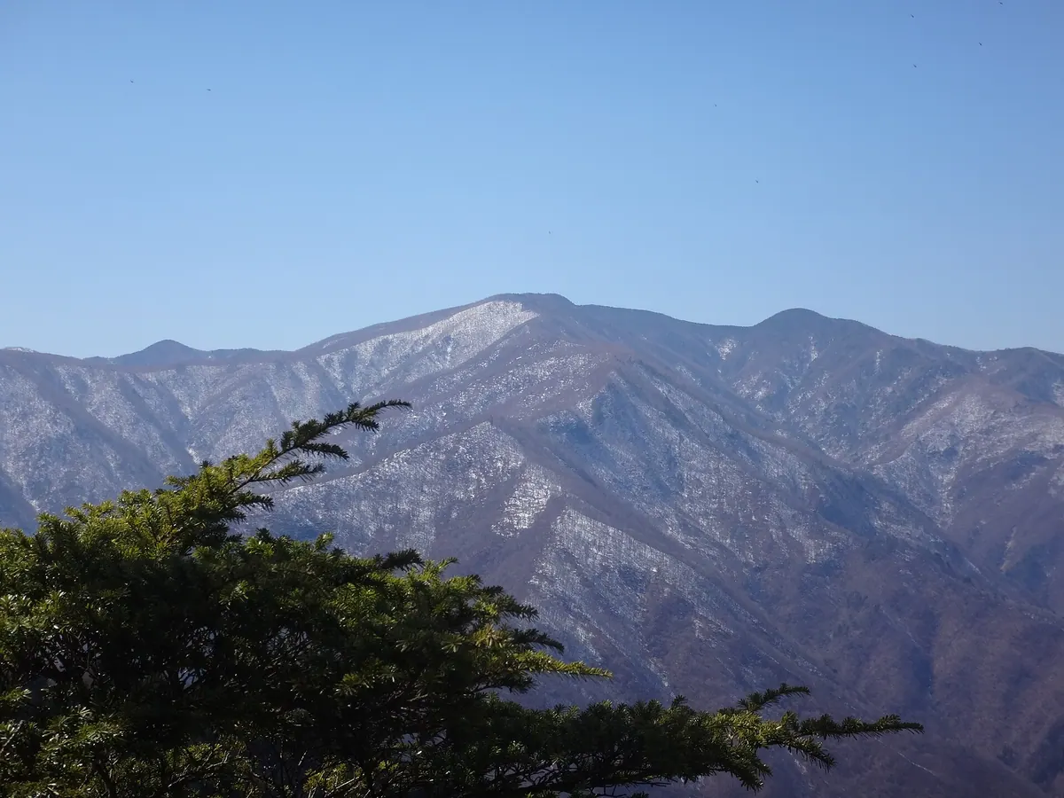
A 2,036-meter peak in Chichibu known as Mount Shiroishi, listed among Japan's 200 famous mountains for dedicated hikers.
What it is
- A 2,036-meter mountain located in Chichibu City, Saitama Prefecture.
- Also known by the alternative name Mount Shiroishi.
- Recognized as one of the 200 Famous Japanese Mountains.
- A remote peak situated near Mount Kumotori and Mount Kasatori.
What to see
- Larch plantations and bamboo grass covering the long ridge lines.
- Rhododendron communities growing near the prefectural border.
- A summit marker at the peak, though it offers no scenic views.
- Nitta Hut, which is used for forest management and closed to the public.
Getting there
- The main climbing route begins from Shogen Pass in Yamanashi Prefecture.
- A round trip from Shogen Hut takes eight to nine hours.
- Saitama access routes include Futase Ridge, Hirumeshi Ridge, and Senba Ridge.
07
Mount Hiwada
SAITAMA · PLACE 日和田山
A 305-meter peak in Saitama offering panoramic views of Tokyo and accessible hiking trails for all skill levels.
What it is
- A 305-meter mountain located in Hidaka City, Saitama Prefecture.
- One of the Kanto 100 Famous Mountains featured in the series Yama no Susume.
- A hiking destination with trails connecting to Takasashi Mountain and Monomi Mountain.
What to see
- Panoramic views of the Shinjuku skyline and Tokyo Skytree from the summit.
- The Kinpira Shrine located along the mountain hiking path.
- A view of the Kinchakuda fields from the trail.
- Steep rocky sections known as Otokozaka for more challenging climbs.
- The Otoiwa and Onnaiwa rock formations where climbing is currently prohibited.
Getting there
- The trailhead is a twenty-five minute walk from Koma Station.
- The summit is reached in forty minutes from the Kinchakuda parking area.
08
Mount Monomi
SAITAMA · PLACE 物見山
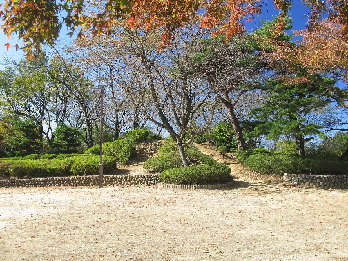
A scenic 134.9-meter peak in the Hiki Hills featuring a public park with 40,000 azaleas and historic pilgrimage connections.
What it is
- The highest peak of the Hiki Hills standing at an elevation of 134.9 meters.
- A designated Saitama Prefectural Scenic Spot managed as a public park.
- A historic lookout point allegedly used by the general Sakanoue no Tamuramaro.
- A site located near Shohoji Temple, the tenth stop on the Bando pilgrimage route.
What to see
- Approximately 40,000 azalea plants spread throughout the park grounds.
- Panoramic views of the surrounding Higashimatsuyama City area.
- The Hinodeya restaurant located directly at the mountain summit.
Getting there
- Accessible by bus departing from Takasaka Station.
- A one-minute walk from the Daito Bunka University bus stop.
- Saitama Prefectural Road 212 provides vehicle access near the summit.
09
Mount Tokusa
SAITAMA · PLACE 木賊山
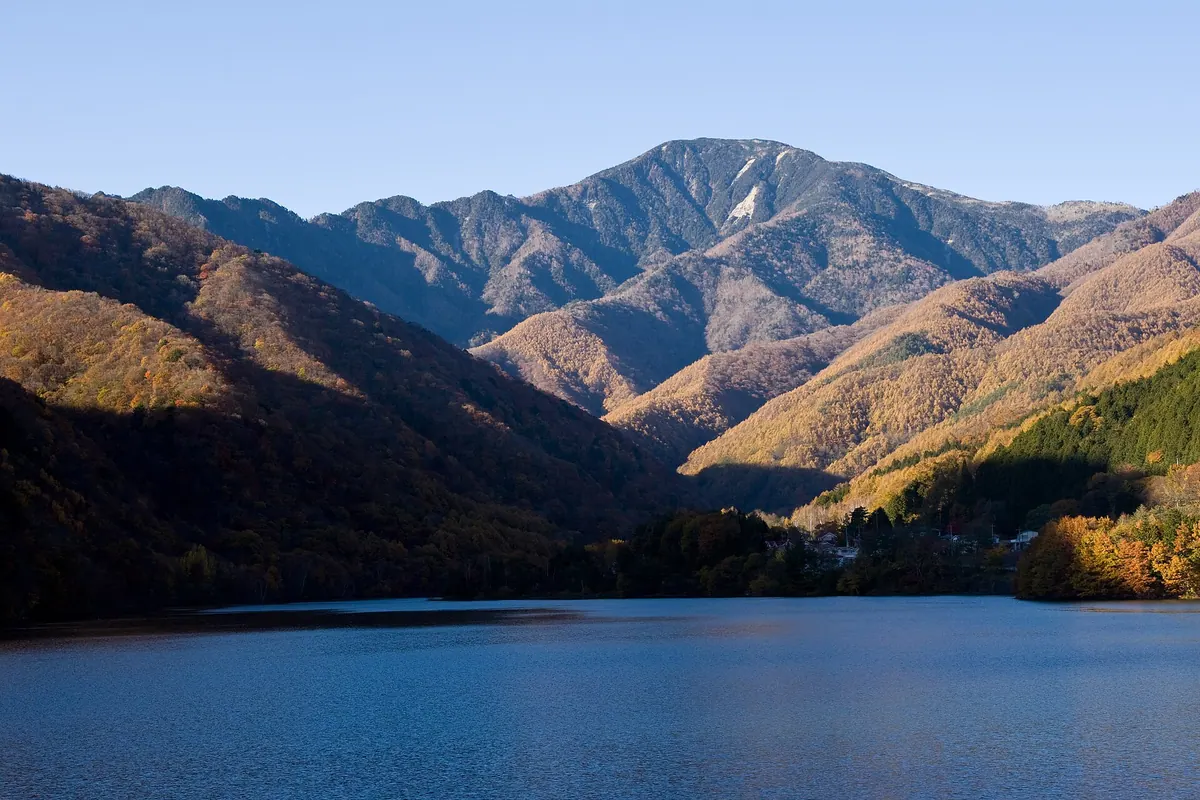
A 2,469-meter peak in the Okuchichibu Mountains offering rhododendron blooms and access to the Toku-chan Shindo hiking trail.
What it is
- A peak standing on the border of Yamanashi and Saitama prefectures.
- Part of the main ridge of the Okuchichibu Mountains reaching 2,469 meters.
- Also known by the name Mount Kumokiri with a triangulation point labeled Hafu.
- A mountain situated between Mount Kobushi and the Karisaka Pass.
What to see
- The Toku-chan Shindo trail which passes directly through the mountain area.
- A summit surrounded by trees that provides a secluded atmosphere without a view.
- Views of Mount Kobushi and Mount Kinpu from a nearby viewpoint.
- The Kobushi Hut located twenty minutes away from the mountain summit.
When to go
- Visit from May to June to see rhododendrons blooming in the area.
10
Mount Ohira
SAITAMA · PLACE 大平山
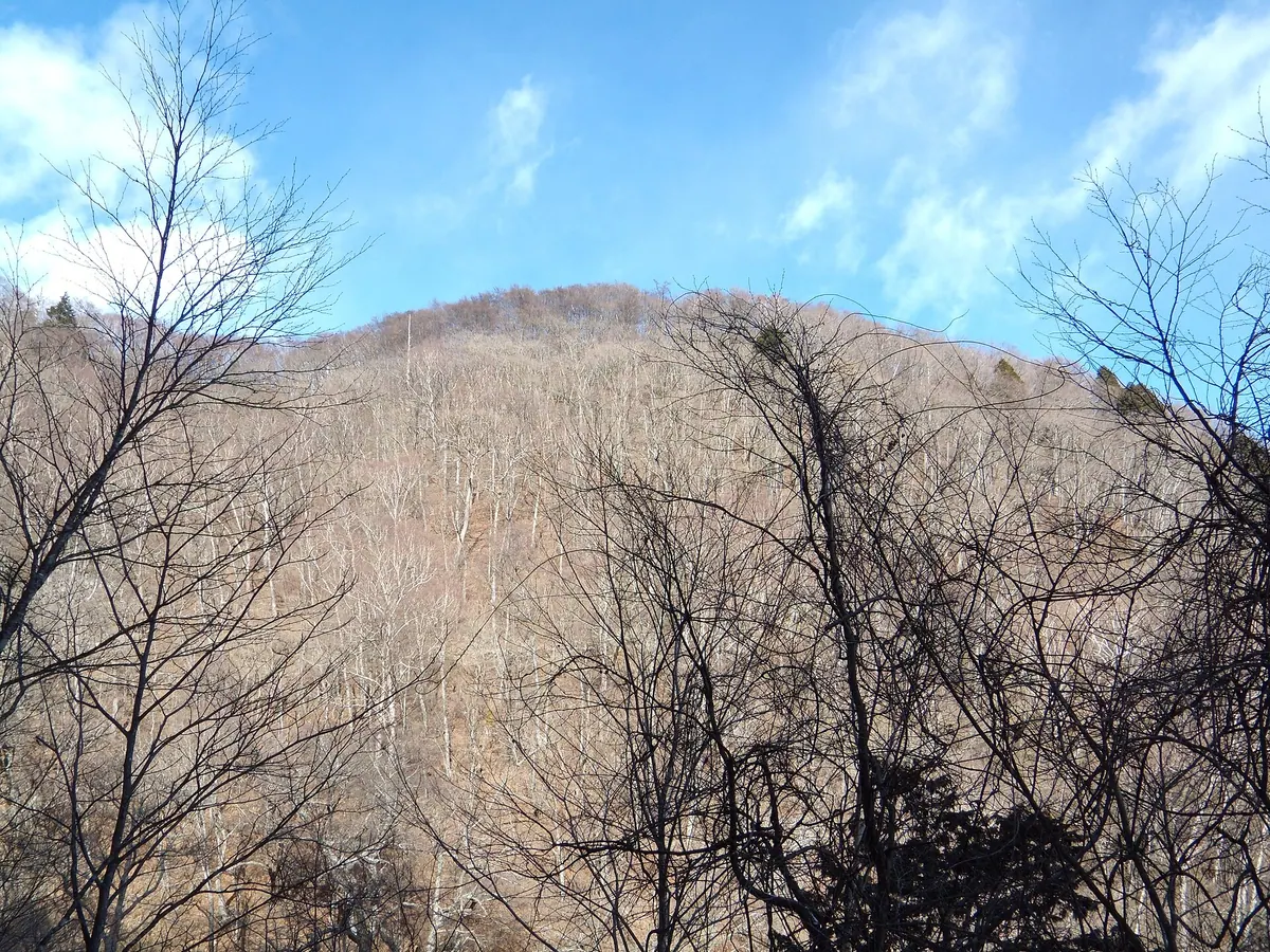
A 1,603-meter peak in the Okuchichibu Mountains offering forest trails and a glimpse of Mount Fuji from the summit.
What it is
- A 1,603-meter mountain peak located within the Okuchichibu Mountains of Chichibu City.
- The name originates from the large and flat shape of the mountain.
- The summit area consists of a small clearing situated within a forest zone.
What to see
- A triangulation station marker and a handwritten wooden board at the mountain top.
- Views of Mount Fuji visible through the trees from the summit clearing.
- Natural habitats of Adonis ramosa flowers along the climbing trail.
- A hiking route that passes through the Hosokubo area and forest roads.
Getting there
- Access the mountain via the Tenmokusan Forest Road.
- A climbing route begins from the Hosokubo area of Chichibu.
11
Mount Kirimogamine
SAITAMA · PLACE 霧藻ヶ峰
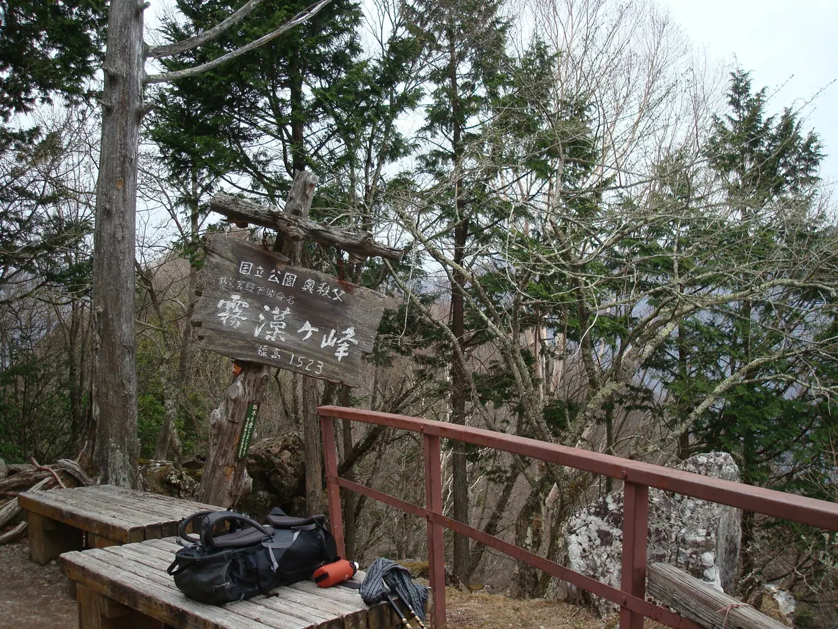
A 1,523-meter peak in the Okuchichibu range named by Prince Chichibu, offering mountain views and historical royal reliefs.
What it is
- A mountain peak standing at 1,523.1 meters in the Okuchichibu mountain range.
- Named in 1933 by Prince Chichibu Yasuhito after the local Usnea lichens.
- Also known by the alternative names Mount Kuroiwa and Tsubameiwa.
- Located in Chichibu City within the Saitama Prefecture region.
What to see
- A relief carving of Prince Chichibu and his wife located near the peak.
- The Kirimogamine Rest Area providing a place for hikers to stop.
- Views of the adjacent peaks including Mount Myoho and Mount Shiraiwa.
- The Shiraiwa Hut situated in the area surrounding the mountain.
Getting there
- The peak is accessible by hiking from the direction of Mitsumine Shrine.
12
Mount Monomi
SAITAMA · PLACE 物見山 (埼玉県日高市)
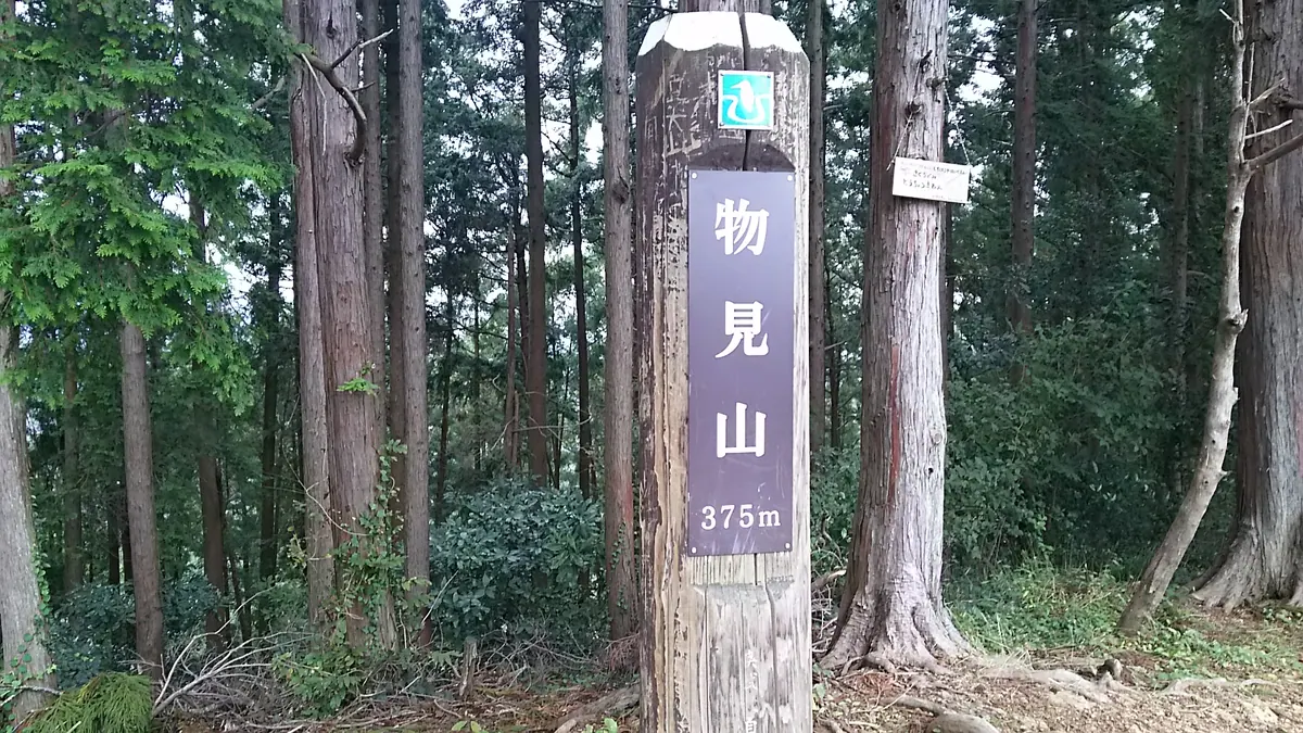
A 375-meter limestone peak in Saitama offering forested hiking trails and seasonal flowers within the Oku-Musashi mountain range.
What it is
- A limestone mountain peak reaching an elevation of 375.4 meters.
- Part of the Oku-Musashi range on the border of Hidaka and Moroyama.
- A destination featuring steep slopes covered in dense tree growth.
What to see
- Views of the surrounding landscape visible through the summit woods.
- Wild violets and iris japonica growing along the mountain paths.
- Plum and cherry trees that bloom on the slopes.
- A summit area accessible by both hiking trails and a nearby road.
When to go
- Spring equinox to see the plum and cherry trees in bloom.
Getting there
- Accessible via a hiking course starting from Koma Station.
13
Mount Tenran
SAITAMA · PLACE 天覧山
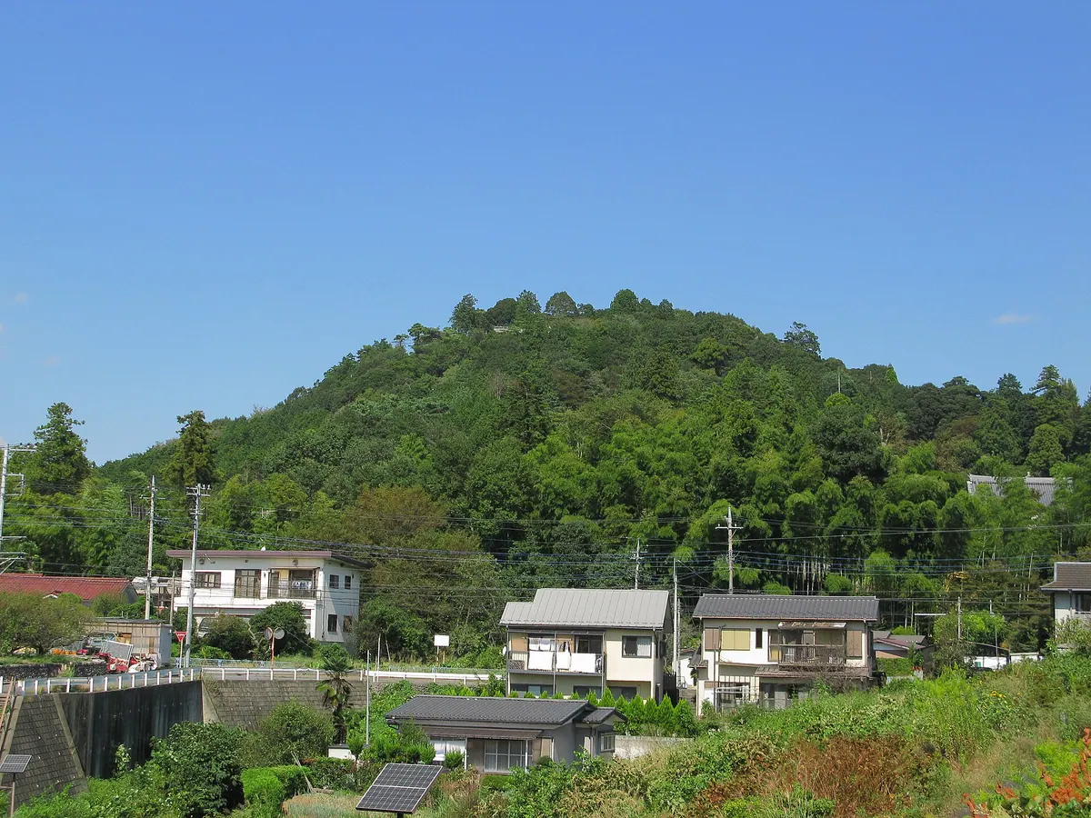
A 197-meter peak in Hanno offering views of Mount Fuji and historical connections to Emperor Meiji and local anime.
What it is
- A 197-meter mountain in Hanno City originally known as Mount Atago.
- Renamed Mount Tenran after a visit by Emperor Meiji in 1883.
- A featured setting in the popular anime series Yama no Susume.
- Home to diverse local wildlife including giant flying squirrels and badgers.
What to see
- Sixteen Arhat stone statues donated by Keishoin located on the slopes.
- Panoramic views of Mount Fuji and Hanno City from the summit.
- Noninji Temple situated at the base of the mountain.
- The Hannou-tsutsumi azalea species which was discovered here in 1915.
Getting there
- A 20-minute walk from Hanno Station leads to the mountain area.
14
Mount Izu
SAITAMA · PLACE 伊豆ヶ岳
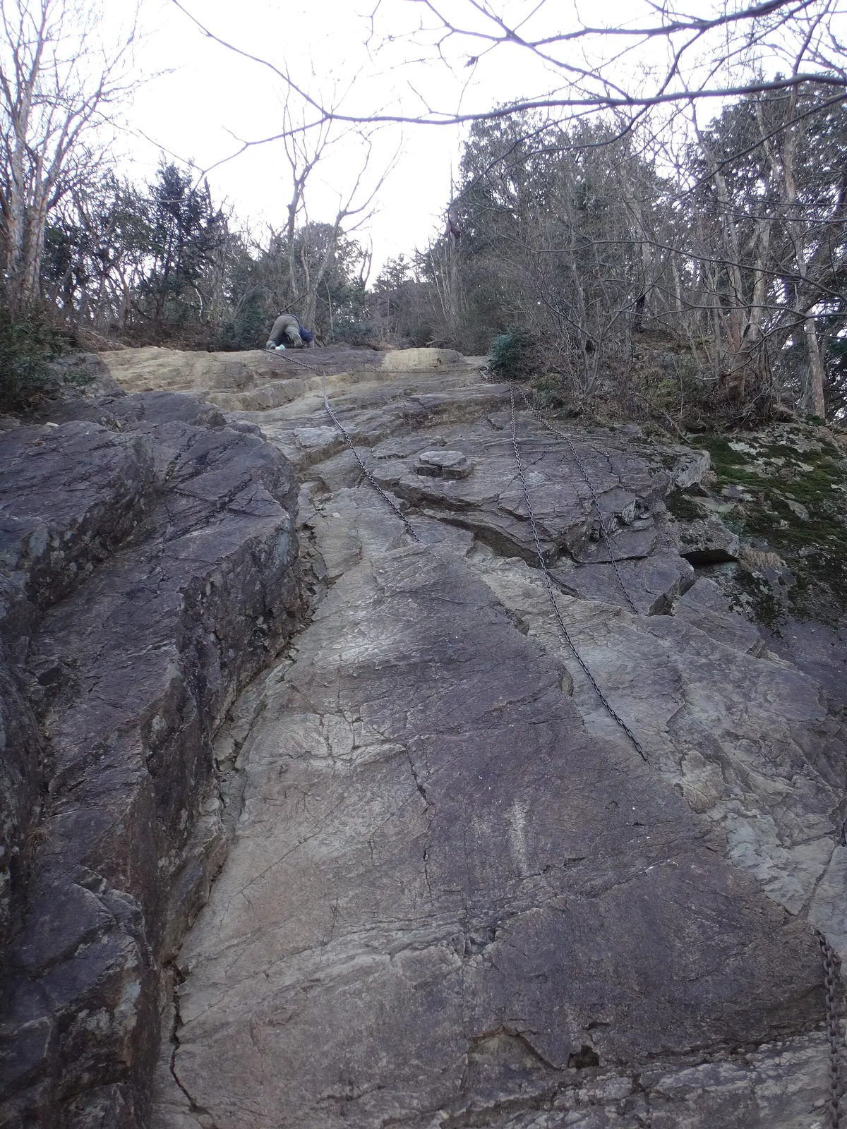
A 850-meter peak in the Hanno Alps offering panoramic views of Tokyo skyscrapers and the Seibu Dome.
What it is
- A mountain peak with an elevation of 850.9 meters in Hanno City.
- Part of the Hanno Alps mountain range in Saitama Prefecture.
- A point along the Kanto Fureai no Michi hiking trail.
- Located near the Iruma and Koma rivers and Shomaru Pass.
What to see
- Views of the Seibu Dome from the mountain summit.
- Tokyo skyscrapers visible from the peak on clear days.
- Vistas of Mount Asama and Mount Nantai from the top.
- Nearby landmarks including Nenogongen Tenryu-ji Temple.
- A detour route connecting the Otoko-zaka and Onna-zaka paths.
When to go
- Clear days are best to see the distant Tokyo skyline.
15
Mount Tōnosu
SAITAMA · PLACE 多峰主山
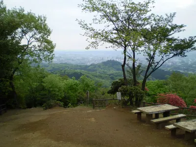
A 271-meter peak in the Hanno Alps featuring historical graves, a mountain shrine, and a unique bamboo habitat.
What it is
- A 271-meter mountain located on the eastern side of the Okumusashi Mountains.
- Part of a popular hiking trail known as the Hanno Alps.
- Home to the Hanno-zasa bamboo habitat, a Saitama Prefecture Natural Monument.
What to see
- A summit sutra mound containing 12,000 inscribed stones.
- The grave of Edo period official Kuroda Naokuni.
- Ontake Hachiman Shrine located on the southern climbing path.
- Amagoi-ike, a 20-meter wide pond situated near the summit.
- A stone pagoda marking the reported grave of Tokiwa Gozen.
Getting there
- The mountain is accessible from Hanno Station and Koma Station.
16
Mount Myōhō
SAITAMA · PLACE 妙法ヶ岳
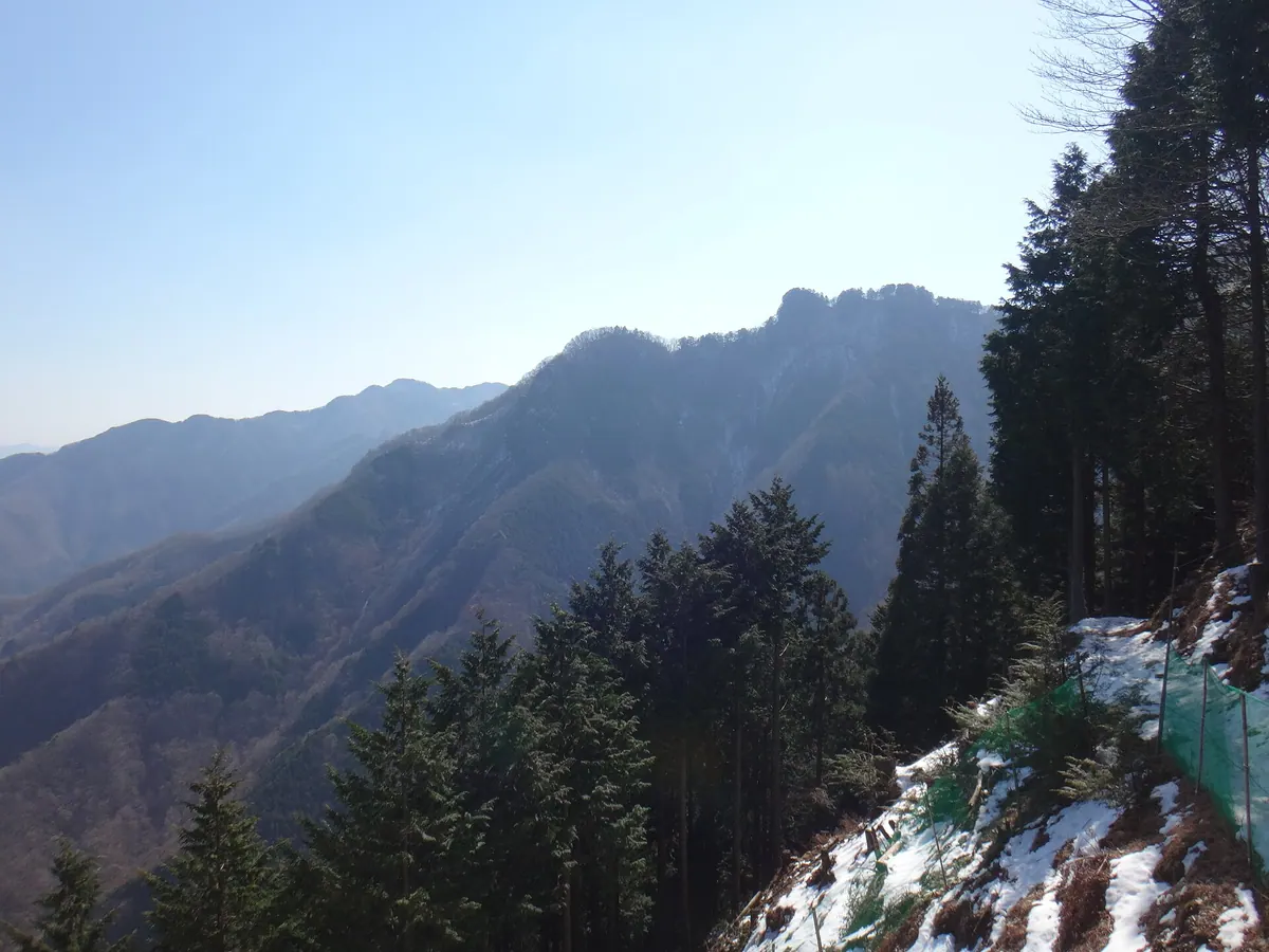
A 1,329-meter peak in the Okuchichibu range featuring the remote inner shrine of the historic Mitsumine Shrine complex.
What it is
- A mountain peak reaching an elevation of 1,329 meters in Saitama Prefecture.
- One of the three peaks that comprise the Mount Mitsumine area.
- The site of the Mitsumine Shrine Okumiya, the shrine's inner sanctuary.
- A listed peak within the official Mountains of Japan index.
What to see
- The Mitsumine Shrine Okumiya located directly at the mountain summit.
- A traditional stone shrine structure situated at the highest point.
- Views of the surrounding Okuchichibu mountain range and nearby Kirimogamine.
- The natural landscape of the three peaks including Mount Shiraiwa and Mount Kumotori.
17
Mount Dōdaira
SAITAMA · PLACE 堂平山
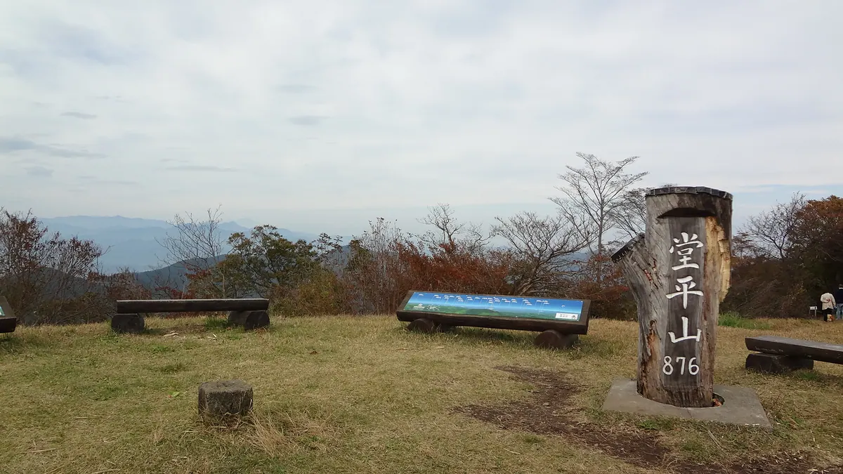
A 875-meter peak in Saitama featuring a former astronomical observatory repurposed into a campground and forestry experience center.
What it is
- A mountain peak standing at 875.8 meters in Saitama Prefecture.
- One of the three mountains known as Hiki Sanzan.
- A former Tokyo Astronomical Observatory station that reopened as a creation center.
- A recreational site featuring a campground and forestry experience facilities.
What to see
- The repurposed astronomical observation station building at the summit.
- A first-class triangulation point located at the highest elevation.
- Hiking trails connecting the peak to Kasayama and Jiko-ji Temple.
- A mountain landscape featured in a Sword Art Online movie.
18
Mount Hiryū
SAITAMA · PLACE 飛竜山
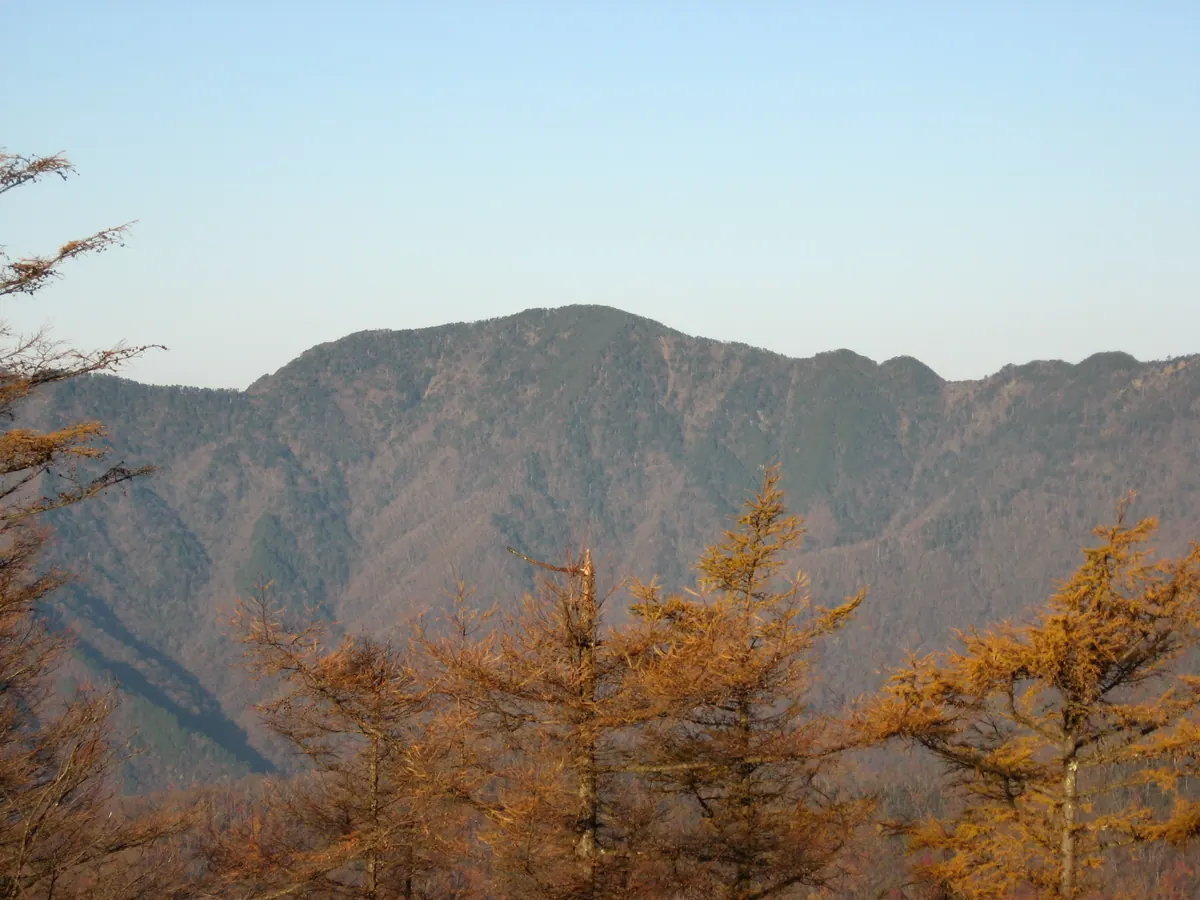
A 2,077-meter peak in the Okuchichibu Mountains offering a challenging hike through the border of Saitama and Yamanashi prefectures.
What it is
- A 2,077-meter mountain located on the border of Saitama and Yamanashi prefectures.
- One of the Yamanashi 100 Famous Mountains and part of the Okuchichibu range.
- A sacred site where the deity Hiryu Gongen is enshrined.
- The primary source of the Obora River, also known as Mount Obora in Saitama.
What to see
- A triangulation point located at an elevation of 2069.17 meters.
- Views of neighboring peaks including Mount Kumotori, Mount Karamatsuo, and Maehiryu.
- Mountain huts in the vicinity including Sanjo no Yu, Kumotori Sanso, and Shogen Koya.
19
Mount Shiraiwa
SAITAMA · PLACE 白岩山
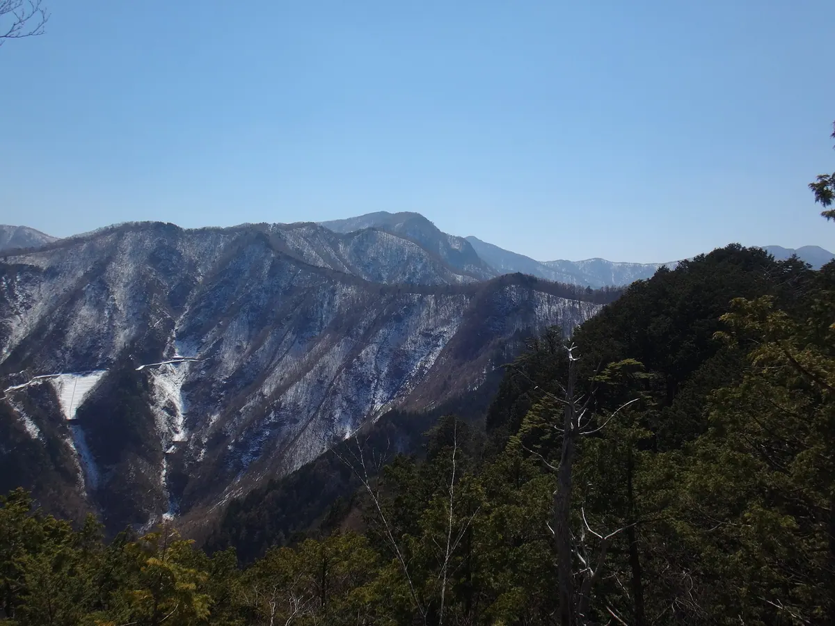
A 1,921-meter peak in Chichibu-Tama-Kai National Park known for its distinctive white limestone formations and mountain views.
What it is
- A 1,921.2-meter peak located within the Okuchichibu Mountains in Saitama Prefecture.
- One of the three mountains that comprise the Mitsumine Mountain group.
- A natural landmark situated inside the Chichibu-Tama-Kai National Park.
- A mountain named for the white limestone rocks found at the site.
What to see
- Distinctive white limestone rock formations that give the mountain its name.
- Views of the surrounding peaks including Mount Kirimogamine and Mount Kumotori.
- The exterior of the Shiraiwa Hut which is now closed to the public.