Mount Ōmochi
大持山
A 1,294-meter peak in the Chichibu Range offering forested trails and ridge views of the Urayama district.
What it is
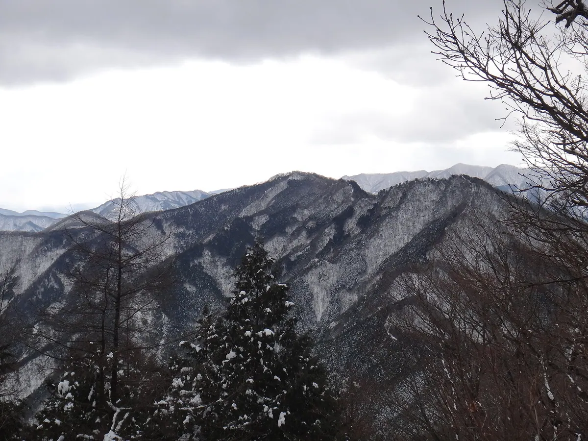
- A mountain standing 1,294.1 meters tall on the border of Chichibu and Yokoze.
- Part of the Chichibu Mountain Range connected to Mount Komochi and Mount Buko.
- A peak surrounded by trees with a ridge line overlooking the Urayama district.
What to see
- The forested summit and the surrounding Chichibu Mountain Range landscape.
- Unotawa, an open depression located between the mountain and Torikubi Pass.
- Views of the Urayama district from the connecting ridge line.
- Mountain vistas including Mount Takegawa to the east and Arima Mountain to the south.
Getting there
- Take a bus from Hanno Station to the Nago bus stop.
- Follow the trail leading from the Bushidaira settlement to the peak.
- Hike for one and a half hours from Tsumasaka Pass to reach the summit.
Notes written by Japan Gems from facts in Japanese Wikipedia.
Where it is
Mount Ōmochi Open in Google Maps
この施設の関係者の方へ
このページは公開情報をもとに Japan Gems が作成し、訪日外国人向けに英語で掲載しています。 写真や情報の追加・修正を承っています。お店の写真に差し替えることもできます。
このページの情報を更新する