Mount Tokusa
木賊山
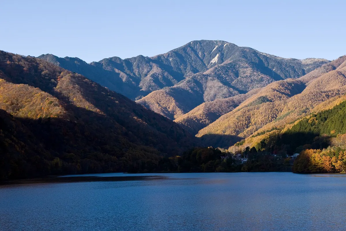
A 2,469-meter peak in the Okuchichibu Mountains offering rhododendron blooms and access to the Toku-chan Shindo hiking trail.
What it is
- A peak standing on the border of Yamanashi and Saitama prefectures.
- Part of the main ridge of the Okuchichibu Mountains reaching 2,469 meters.
- Also known by the name Mount Kumokiri with a triangulation point labeled Hafu.
- A mountain situated between Mount Kobushi and the Karisaka Pass.
What to see
- The Toku-chan Shindo trail which passes directly through the mountain area.
- A summit surrounded by trees that provides a secluded atmosphere without a view.
- Views of Mount Kobushi and Mount Kinpu from a nearby viewpoint.
- The Kobushi Hut located twenty minutes away from the mountain summit.
When to go
- Visit from May to June to see rhododendrons blooming in the area.
Notes written by Japan Gems from facts in Japanese Wikipedia.
Where it is
Mount Tokusa Open in Google Maps
この施設の関係者の方へ
このページは公開情報をもとに Japan Gems が作成し、訪日外国人向けに英語で掲載しています。 写真や情報の追加・修正を承っています。お店の写真に差し替えることもできます。
このページの情報を更新する