Mount Kura
鞍山
A 254-meter mountain in Kitaakita featuring a unique wind cave conservation area and subalpine plant life.
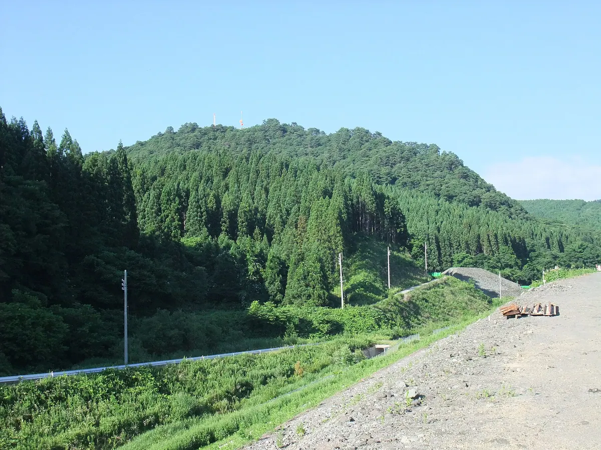
What it is
- A mountain in Kitaakita City reaching an elevation of 254.2 meters.
- Site of a 6.93-hectare conservation area designated in 1981.
- Location of the Takanosu digital TV relay station serving two cities.
- A geological site composed primarily of quartz dacite and rhyolite rocks.
What to see
- The Kura Mountain Wind Cave located on the southern slope.
- A large rock formation known as Butai-ishi near the summit.
- Subalpine plants such as Rosa acicularis growing near the cave.
- The Takanosu digital TV relay station standing at the summit.
- A wind cave area where ground temperatures remain around 10 degrees Celsius.
Notes written by Japan Gems from facts in Japanese Wikipedia.
Where it is
Mount Kura Open in Google Maps
この施設の関係者の方へ
このページは公開情報をもとに Japan Gems が作成し、訪日外国人向けに英語で掲載しています。 写真や情報の追加・修正を承っています。お店の写真に差し替えることもできます。
このページの情報を更新する