Mount Kyōro
京路山
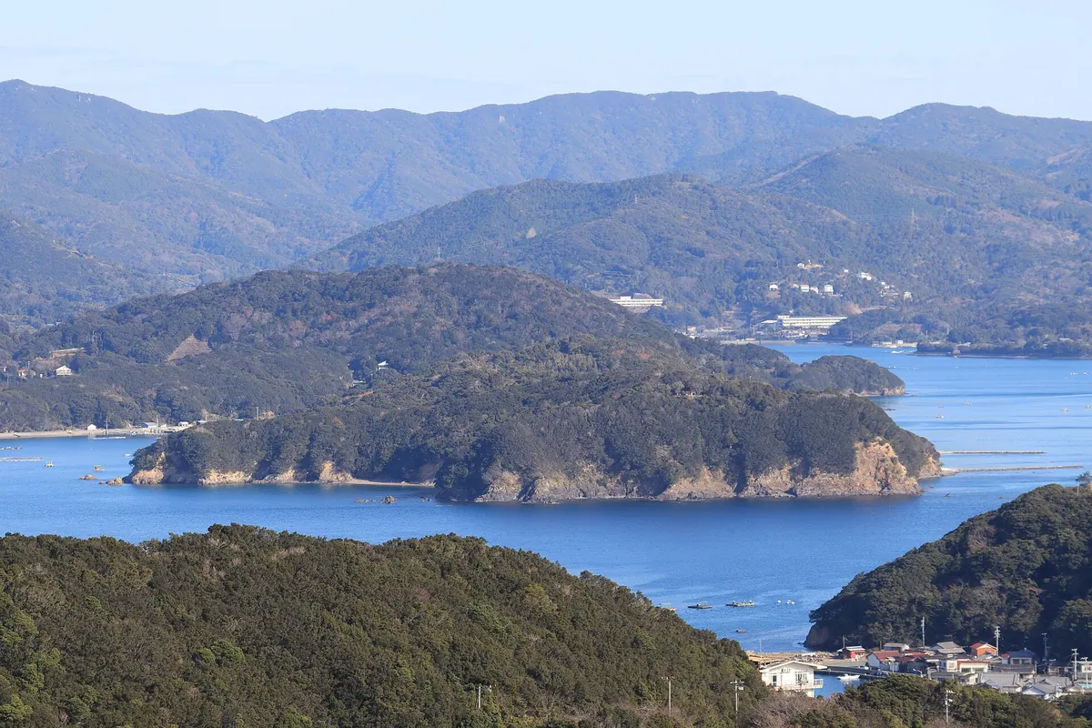
The highest peak in Shima City offering panoramic views of three bays and the historic border of Ise and Shima.
What it is
- The highest peak in Shima City reaching an elevation of 414.8 meters
- A mountain that historically served as the border between Ise and Shima provinces
- A site adjacent to the protected forest of the Ise Grand Shrine
What to see
- Panoramic views of Matoya Bay, Ago Bay, and Gokasho Bay from the summit
- The north ridge which requires special permission from the Jingu Administration Office to enter
- Natural mountain terrain that is home to leeches during their active season
When to go
- An annual community climbing event takes place every January 2nd
Getting there
- A trail from Tsukiji reaches the summit in approximately one hour
- A shorter path from Tsurugi Pass takes forty minutes to reach the top
- The Tsukiji trailhead provides a parking lot with space for eight cars
Notes written by Japan Gems from facts in Japanese Wikipedia.
Where it is
Mount Kyōro Open in Google Maps
この施設の関係者の方へ
このページは公開情報をもとに Japan Gems が作成し、訪日外国人向けに英語で掲載しています。 写真や情報の追加・修正を承っています。お店の写真に差し替えることもできます。
このページの情報を更新する