

18 Mountains in Mie worth your time
Japan Gems
18 Mountains in Mie, with what to see and how to get there.
Mie has 18 mountains on Japan Gems. Below are the 18 we can tell you the most about — each one written up in English from Japanese sources, with what to see and how to get there. See all mountains in Mie.
01
Mount Nyudo
MIE · PLACE 入道ヶ岳
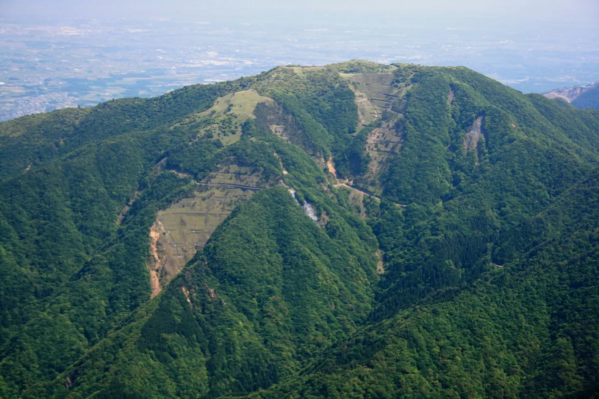
A 906-meter peak in the Suzuka Mountains serving as the sacred object of worship for Tsubaki Grand Shrine.
What it is
- A 906-meter mountain in Suzuka City belonging to the Suzuka Seven Mountains.
- The sacred object of worship for the nearby Tsubaki Grand Shrine.
- One of the Kinki 100 Famous Mountains and source of two rivers.
- A natural monument featuring a protected community of Japanese andromeda trees.
What to see
- A traditional torii gate standing at the mountain summit.
- A shrine building located 300 meters northwest of the peak.
- Gentle grasslands and bamboo grass fields across the summit area.
- The designated natural monument of Japanese andromeda trees.
When to go
- Mountain festivals are held annually during May and November.
Getting there
- Buses run to the trailheads from Yokkaichi or Suzuka City.
- Trailheads are accessible at Tsubaki Grand Shrine, Miyazumakyo, and Ogisu Valley.
02
Mount Kyōro
MIE · PLACE 京路山
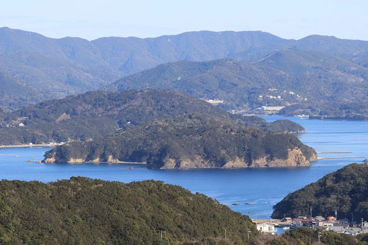
The highest peak in Shima City offering panoramic views of three bays and the historic border of Ise and Shima.
What it is
- The highest peak in Shima City reaching an elevation of 414.8 meters
- A mountain that historically served as the border between Ise and Shima provinces
- A site adjacent to the protected forest of the Ise Grand Shrine
What to see
- Panoramic views of Matoya Bay, Ago Bay, and Gokasho Bay from the summit
- The north ridge which requires special permission from the Jingu Administration Office to enter
- Natural mountain terrain that is home to leeches during their active season
When to go
- An annual community climbing event takes place every January 2nd
Getting there
- A trail from Tsukiji reaches the summit in approximately one hour
- A shorter path from Tsurugi Pass takes forty minutes to reach the top
- The Tsukiji trailhead provides a parking lot with space for eight cars
03
Mount Tengura
MIE · PLACE 天狗倉山
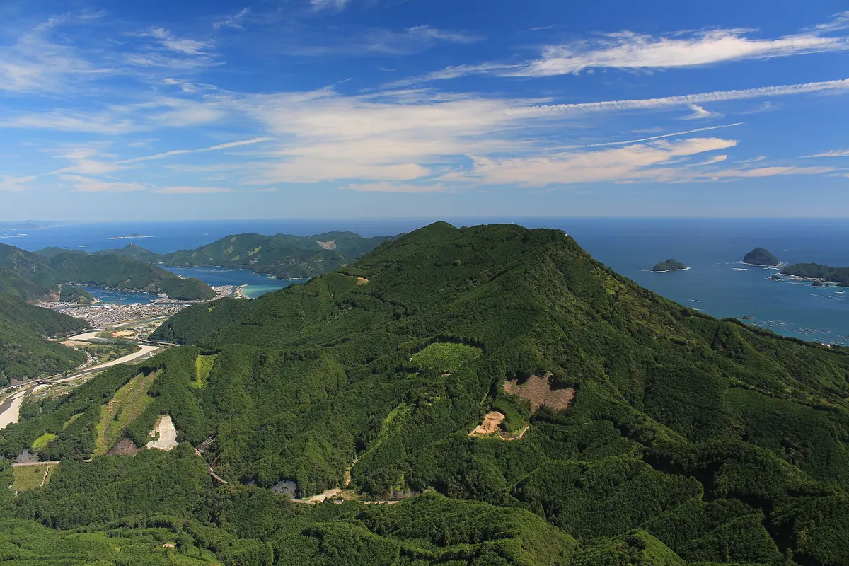
A 522-meter mountain on the Kumano Kodo trail featuring a massive monolithic summit rock with panoramic views.
What it is
- A 522-meter peak spanning Owase City and Kihoku Town in Mie Prefecture
- The Magose Pass on the historic Kumano Kodo trail crosses this mountain
- The terrain consists of Kumano acidic rocks formed from ancient cooled lava
- Most of the mountain area is covered with planted cypress trees
What to see
- A large monolithic rock formation that forms the mountain summit
- A brick shrine dedicated to En no Gyoja located at the peak
- Ladders installed to help climbers reach the top of the summit rock
- The Iwayado Stone Buddha, a designated municipal folk cultural property
- The Koyamaura Beacon Site, a cultural property of Kihoku Town
- A radio tower located 300 meters east-northeast of the summit
Getting there
- The mountain is located 2.3 kilometers northeast of Owase Station
04
Mount Takamine
MIE · PLACE 高峰山
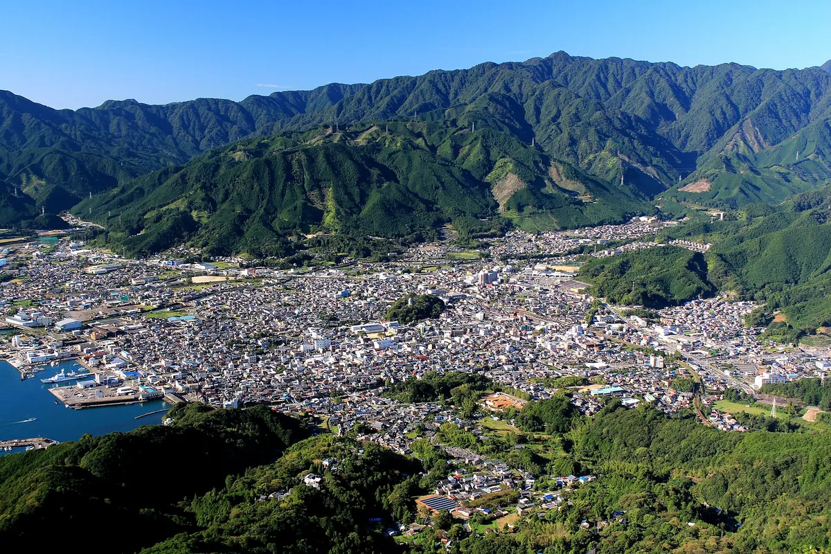
A 1,045-meter peak in the Daiko Range offering panoramic views of the Kumano Sea and Odaigahara from its summit.
What it is
- A 1,045-meter mountain in the southern Daiko Mountain Range also known as Mount Takagoya.
- The peak features a first-class triangulation point and is listed among the top 100 such points.
- The mountain serves as the natural source for the Mataguchi River.
- Most of the landscape consists of artificial forest plantations.
What to see
- Panoramic views of the Kumano Sea and Odaigahara from the summit.
- A first-class triangulation point located at the highest elevation.
- Hiking trails that lead through extensive forest plantations.
Getting there
- The mountain is situated six kilometers southwest of Owase Station.
- Hiking trails are accessible from Yanoko Pass and the Furukawa Forest Road.
- National Route 42 passes through the southeastern mountainside.
05
Mount Gokasho-Sengen
MIE · PLACE 五ヶ所浅間山
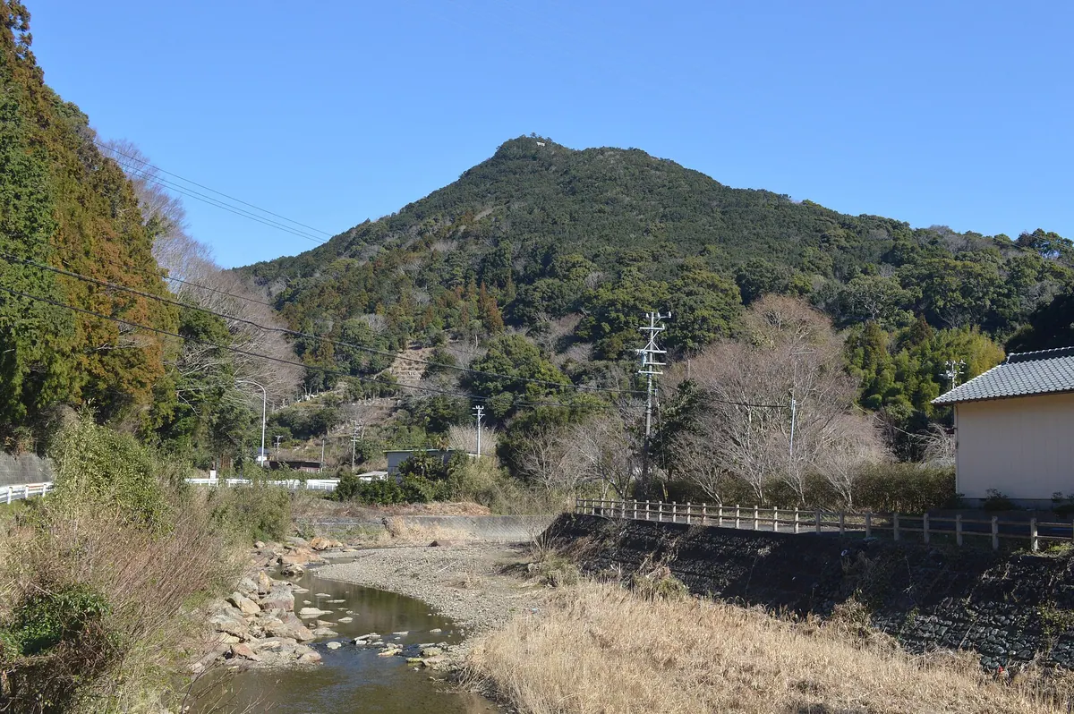
A 174-meter peak in Ise-Shima National Park offering panoramic bay views, historic castle ruins, and a protected stone monument.
What it is
- A conical mountain within Ise-Shima National Park known locally as Gokasho Fuji.
- Site of the Sengoku period Gokasho Castle ruins at the southern foot.
- Home to mandarin orange orchards that line the mountain slopes.
- Location of a tangible cultural property stone monument dating back to 1678.
What to see
- Panoramic views of Gokasho Bay from the 174-meter summit.
- The historic ruins of the Aisu clan castle at the base.
- A designated cultural stone monument situated at the mountain peak.
- Sloping fields of mandarin orange trees along the hiking path.
When to go
- Early July for the annual Sengen Festival held on the mountain.
Getting there
- Accessible by taking a bus from Iseshi Station to the mountain area.
06
Mount Ōdaigahara
MIE · PLACE 大台ヶ原山
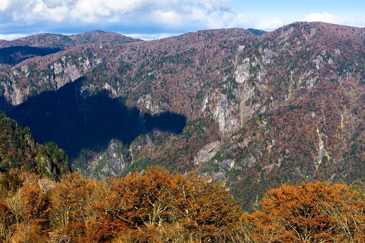
A UNESCO Biosphere Reserve and non-volcanic plateau offering unique landscapes of dead spruce trees and high-altitude views.
What it is
- A non-volcanic uplifted peneplain located on the border of Nara and Mie prefectures.
- Part of the Yoshino-Kumano National Park and a registered UNESCO Biosphere Reserve.
- Designated as one of Japan's Top 100 Mountains with extremely high annual rainfall.
- The site includes Mount Hidegadake, which is the highest peak in Mie Prefecture.
What to see
- A visitor center located at an elevation of 1,573 meters above sea level.
- Southeastern landscapes characterized by standing dead spruce trees and bamboo grass.
- The West Odaigahara area which requires a prior application for entry.
Getting there
- Buses run from Yamato-Kamiichi Station during specific seasons.
- The Odaigahara Driveway provides direct vehicle access to the visitor center.
07
Mount Ko
MIE · PLACE 神山
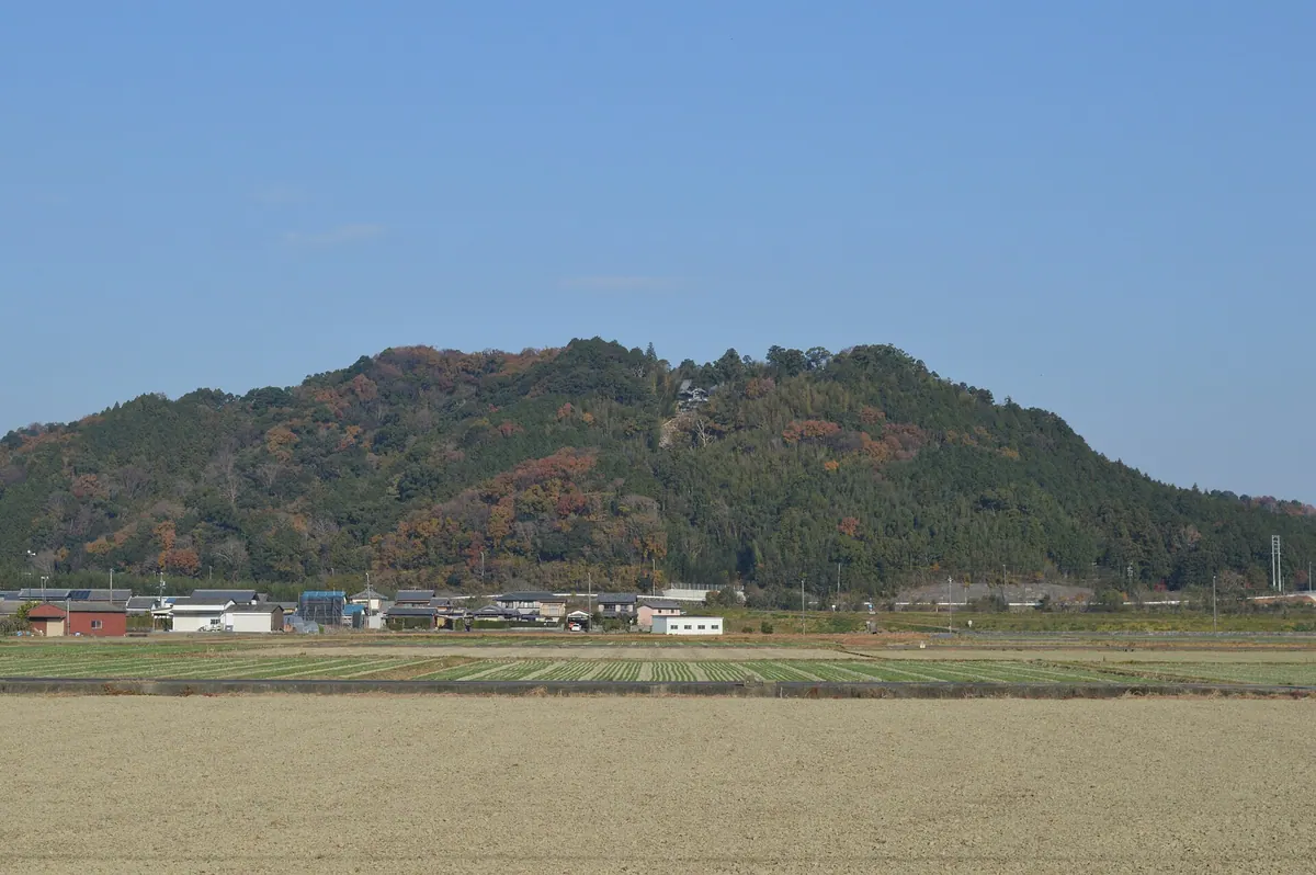
A 131-meter mountain featuring a historic temple founded by Prince Shotoku and the ruins of a 14th-century hilltop castle.
What it is
- A 131-meter mountain in Matsusaka City formerly known as Mount Watase.
- Site of Koyama Castle which was built in 1337 and fell in 1343.
- Home to Ichijo-ji Temple which was founded by Prince Shotoku.
- Location of Iinotakamiya Koyama Shrine situated at the foot of the mountain.
What to see
- Ichijo-ji Temple located along the path to the summit.
- Temple buildings reconstructed in 1470 and 1836.
- Iinotakamiya Koyama Shrine at the base of the slopes.
- Views from the summit where the medieval castle once stood.
- The junction of the Kushida and Hara Rivers to the southeast.
Getting there
- The mountain is located near Taki Station on the JR lines.
- The JR Kisei Main Line runs through the northeastern part of the site.
08
Mount Kama
MIE · PLACE 鎌ヶ岳
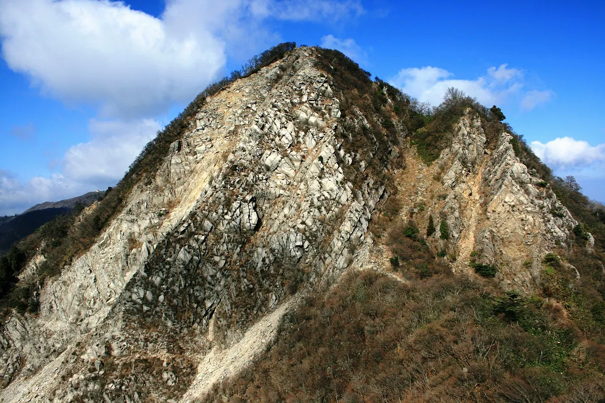
A 1,161-meter granite peak in the Suzuka Mountains known for its primeval beech forest and steep rocky summit.
What it is
- A 1,161-meter granite mountain located within the Suzuka Quasi-National Park
- One of the Suzuka Seven Mountains spanning Mie and Shiga Prefectures
- A natural site also known by the name Kanmurigadake
- Home to the Mount Kama Primeval Beech Forest, a protected natural monument
What to see
- A steep rocky summit featuring an installed chain for climbers
- Dense stands of protected primeval beech trees
- Wild Japanese serows that inhabit the surrounding mountain slopes
- Views of the Suzuka Mountains from the 1,161-meter peak
Getting there
- Located southwest of Yunoyama-Onsen Station
- Accessible via the Suzuka Skyline road which opened in 1972
- National Route 477 passes through the Buhei Tunnel near the mountain
09
Mount Kirara
MIE · PLACE 雲母峰
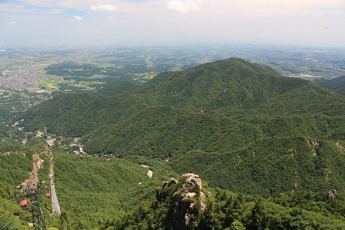
A 888-meter peak in Suzuka Quasi-National Park known for its paragliding launch site, mica deposits, and diverse hiking trails.
What it is
- A mountain standing 888.1 meters tall within the Suzuka Quasi-National Park.
- The name originates from biotite mica produced in the local valleys.
- The terrain consists of sandstone, chert, and limestone formations.
- The southeastern foothills are utilized for local tea plantations.
What to see
- A paragliding launch site located on the second peak.
- A third-class triangulation point marking the summit area.
- The Miyazuma Gorge Campground situated at the base of the mountain.
- Rare Inamori-sou flowers which were first discovered on the northern slope.
Getting there
- The summit is located 2.7 kilometers from Yunoyama-Onsen Station.
- Multiple hiking trails lead to the summit from various directions.
10
Mount Asama
MIE · PLACE 朝熊山
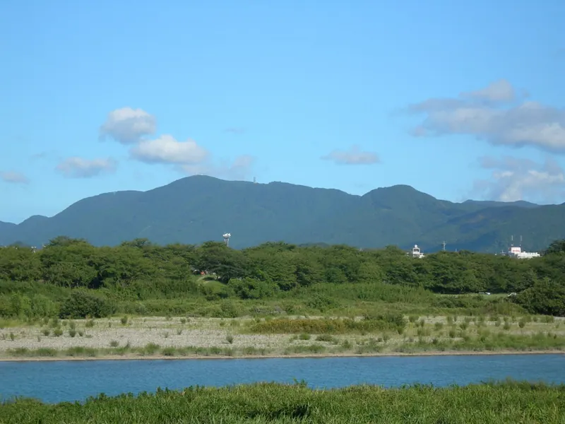
A scenic 555-meter peak in Ise-Shima National Park featuring an ancient temple and panoramic views from a mountain toll road.
What it is
- A 555-meter mountain peak officially known as Asamagatake located in Ise and Toba.
- Part of the Ise-Shima National Park and selected as one of the Japan Hundred Views.
- Home to Kongosho-ji Temple and the National Historic Site Asamayama Sutra Mounds.
- A natural habitat for the endemic plant species known as Asama-rindo.
What to see
- Kongosho-ji Temple located near the summit of the mountain.
- National Treasure artifacts recovered from the ancient sutra mounds.
- A red retro-style post box situated at the summit plaza.
- The 16.3-kilometer Ise-Shima Skyline toll road crossing the mountain landscape.
Getting there
- Public buses run to the mountain summit on weekends and holidays.
11
Mount Hiyori
MIE · PLACE 日和山
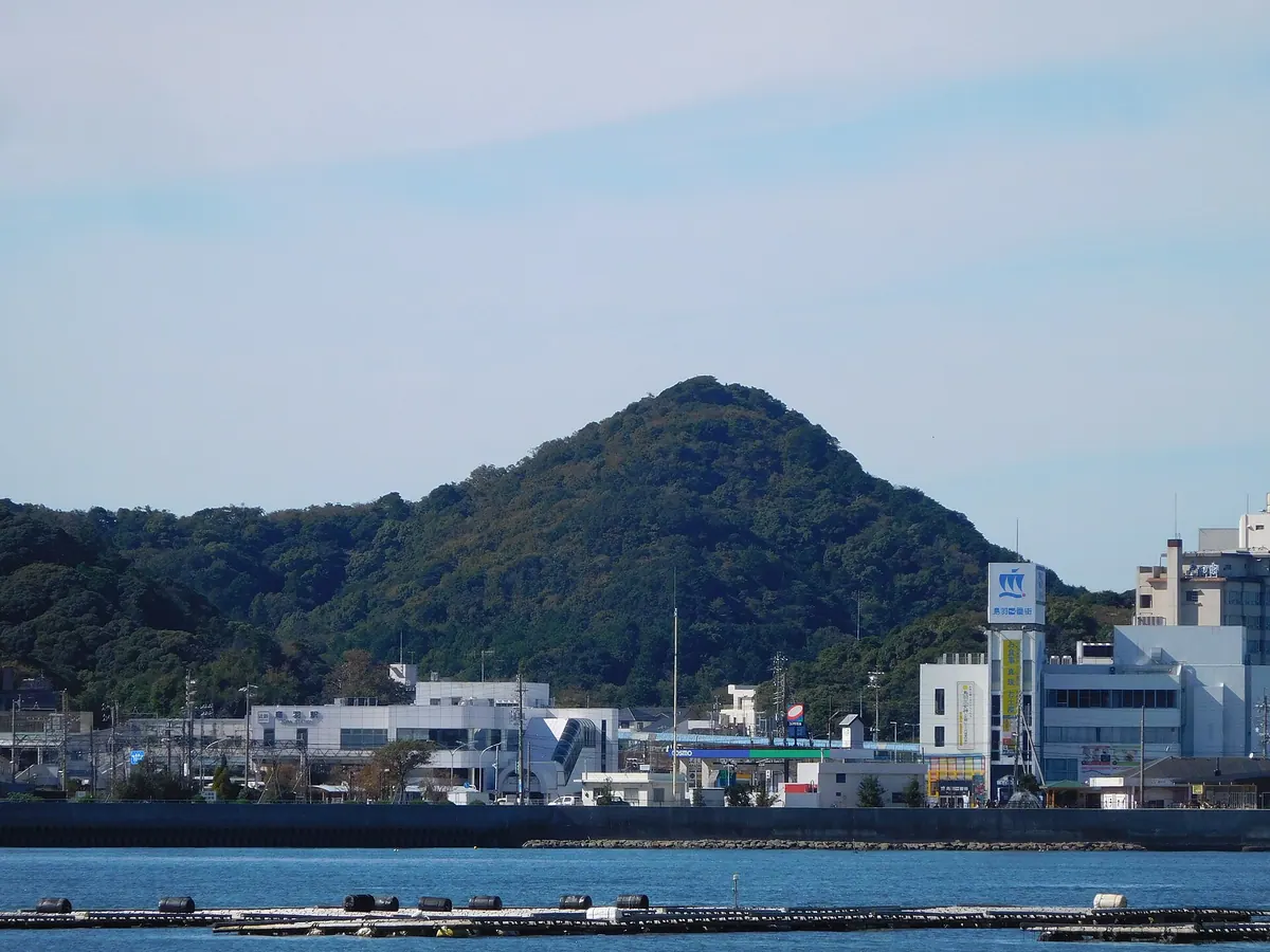
A historic peak overlooking Toba Bay where sailors once observed weather and pioneers established the first wireless telephone system.
What it is
- One of the three mountains of Toba overlooking the local port and bay.
- A site used by Edo period sailors to observe weather and sea conditions.
- The location where the world's first practical wireless telephone system was established in 1914.
What to see
- The Hiyori Mountain Compass Stone, a designated tangible folk cultural property.
- A monument commemorating the historical origin of wireless telephony.
- The Toba Leading Light structure constructed on the mountain in 1912.
- A summit observatory featuring a compass stone and a bell.
Getting there
- The summit is a 10 to 15 minute walk from the base.
- Trailheads are located near Toba Station and Kata Shrine.
12
Mount Tomo
MIE · PLACE 登茂山
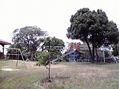
A coastal park in Mie Prefecture offering panoramic views of Ago Bay and various outdoor recreational facilities.
What it is
- A 100-hectare mountain park overlooking the complex rias coastline of Ago Bay.
- A site containing archaeological ruins from the Paleolithic and Jomon periods.
- A recreational area featuring sports facilities, a campground, and nature centers.
- A geological site belonging to the Shimanto Supergroup formation.
What to see
- The Tomoyama Observatory situated at an elevation of 48 meters.
- Three distinct observation points including the Kirigaki and Tomoyama lookouts.
- The scenic Jiro-Rokuro beach located within the park grounds.
- Expansive views of the surrounding bay and coastal islands.
Getting there
- Accessible by a 30-minute car ride from Ugata Station.
13
Mt. Kyogamine
MIE · PLACE 経ヶ峰
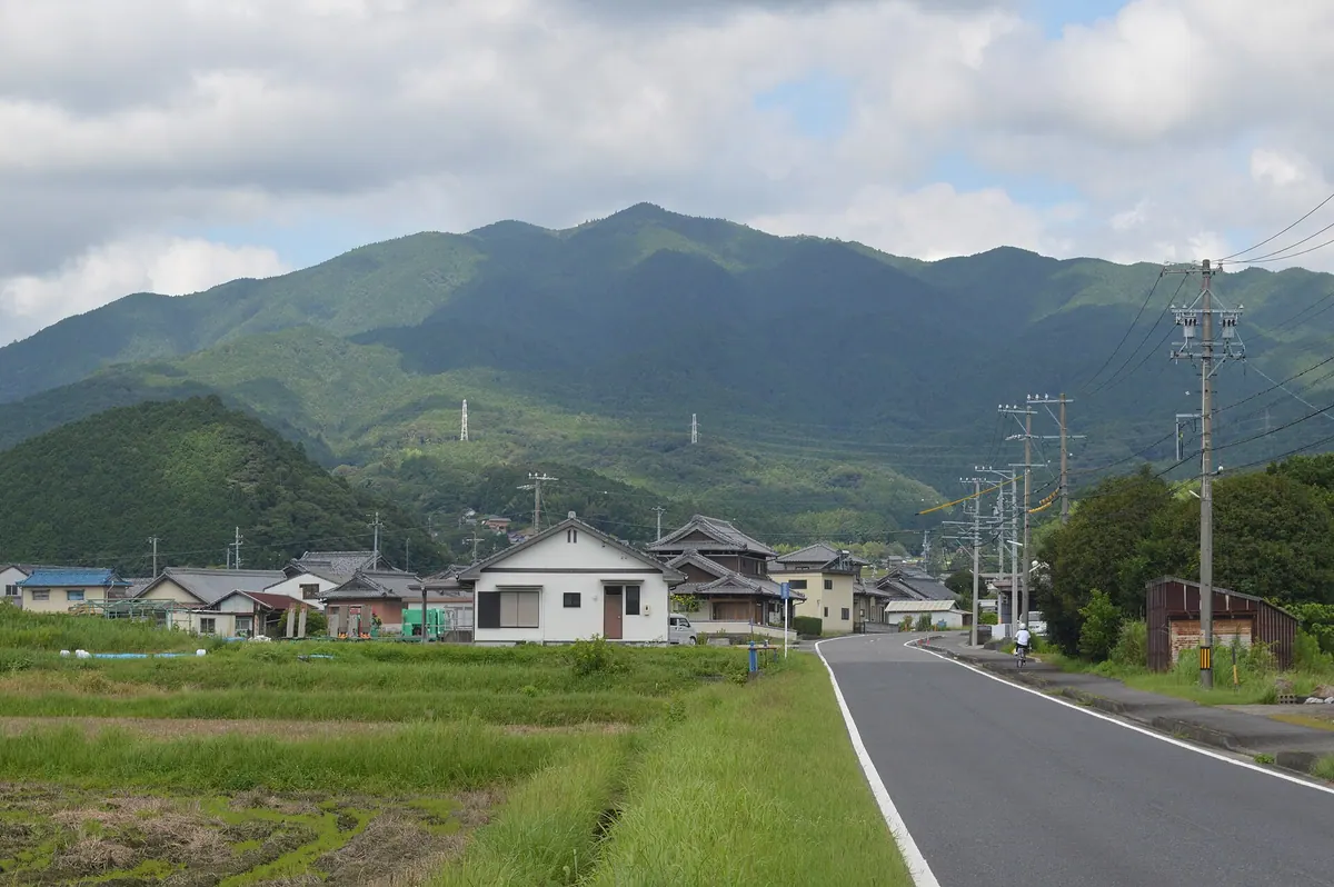
An 819-meter peak in Mie Prefecture known for its buried Buddhist scriptures, diverse climbing routes, and panoramic natural vegetation.
What it is
- An independent peak standing approximately 819 meters high in Mie Prefecture.
- Named after Buddhist scriptures that were buried at the mountain summit.
- Formerly known as Mt. Anno and featured in fifteen local school songs.
- Site of the former Jomyoji Temple which was destroyed by Oda Nobunaga.
What to see
- Eight different climbing routes leading to the mountain summit.
- Menashi Jizo temple located on the southern slope of the mountain.
- Natural vegetation including silver grass, wild cherry trees, and azaleas.
- An unmanned rest hut situated near the top of the peak.
- Geological formations consisting primarily of various igneous rocks.
14
Mount Aonomine
MIE · PLACE 青峰山
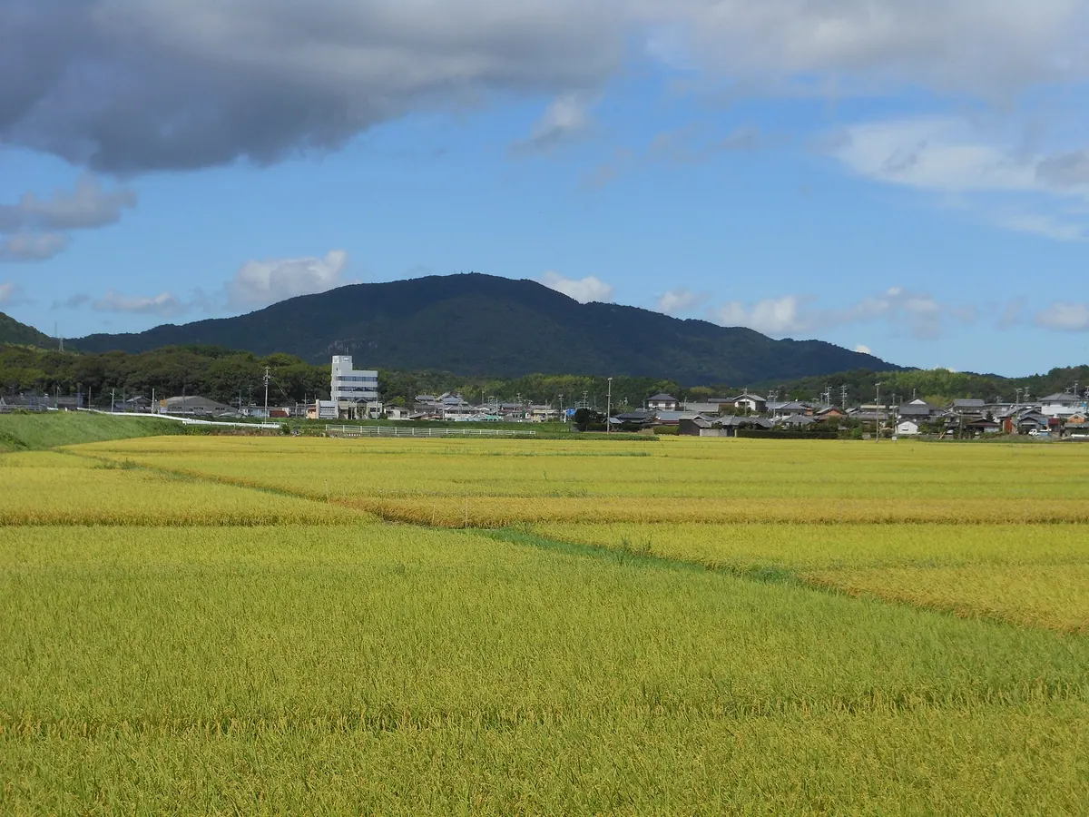
A 336-meter peak on the Toba-Shima border featuring a historic temple, hiking trails, and views over Ise Bay.
What it is
- A 336-meter mountain standing on the border of Toba and Shima cities.
- A protected navigational forest that serves as a landmark for ships in Ise Bay.
- The source of the Kamo River and part of the Kinki Nature Trail.
- A site of geological interest belonging to the Mesozoic Matoya formation.
What to see
- Shofukuji Temple located near the mountain summit.
- An observation deck at the peak for visitors to view the surrounding area.
- Five main hiking routes known as Aonomine-michi leading to the top.
- A digital television relay station situated near the peak.
15
Mount Hossaka
MIE · PLACE 堀坂山
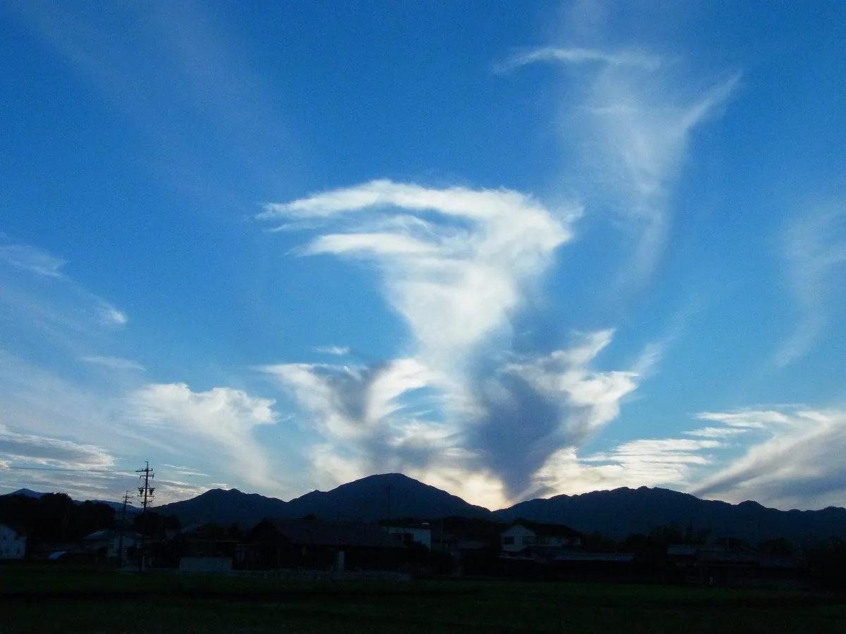
A 757-meter peak known as Ise Fuji, featuring a renovated wooden schoolhouse for accommodation at its base.
What it is
- A 757-meter mountain in Matsusaka City known as one of the Ise Sanzan.
- The peak is commonly referred to as Ise Fuji due to its shape.
- Part of the Akame Ichishikyo Prefectural Natural Park landscape.
- A public accommodation facility housed in a renovated 1979 elementary school building.
What to see
- The mountain summit standing at an elevation of 757 meters.
- A wooden one-story former school building covering 679 square meters.
- Zuiganji Temple located at the foot of the mountain.
- Views of Mount Kannon situated across the Hossaka Pass.
16
Mount Ōbora
MIE · PLACE 大洞山
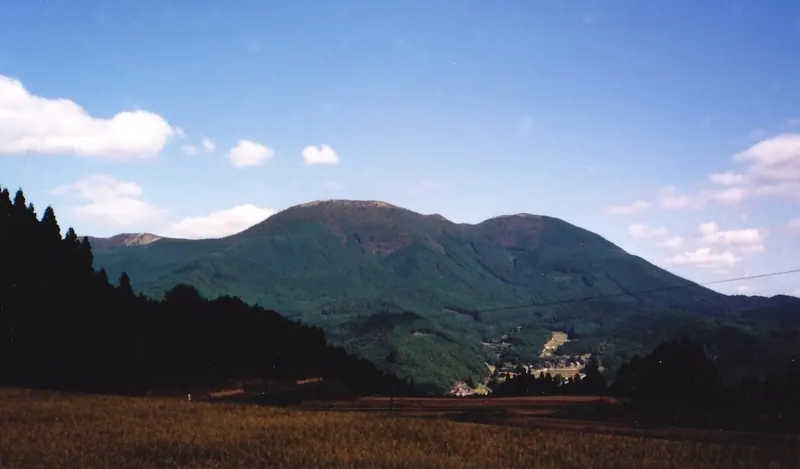
A dual-peak mountain in the Muroo Volcanic Group offering hiking trails, a campsite, and a nationally designated scenic temple approach.
What it is
- A mountain in the Muroo Volcanic Group consisting of two peaks named Odake and Medake
- Part of the Muroo-Akame-Aoyama Quasi-National Park and one of the Kansai 100 Mountains
- The higher peak Odake stands at 1013 meters while Medake stands at 985 meters
What to see
- The Tokai Nature Trail which runs across the mountainside for hikers
- A triangulation point located at the summit of the Medake peak
- Skyland Obora campsite situated at an elevation of 700 meters
- The Shinfuku-in temple approach which is a nationally designated scenic spot
17
Mount Hinokizukaokumine
MIE · PLACE 桧塚奥峰
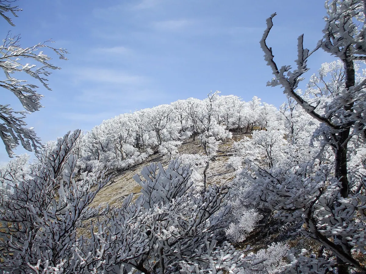
The highest peak entirely within Mie Prefecture, offering a challenging hike through the scenic Daiko Mountain Range.
What it is
- A mountain peak in the Daiko Mountain Range with an elevation of 1,420 meters.
- The highest mountain peak located entirely within the borders of Mie Prefecture.
- A featured destination in the Yama to Kogen map series for hikers.
Getting there
- Hiking from the Manakodani trailhead on the Mie side takes two hours and fifteen minutes.
- A route from Nara through Myojindake and Myojindaira takes two hours and forty minutes.
- The walk from Omata bus stop on the Nara Kotsu line takes four hours.
18
Mount Tsubone
MIE · PLACE 局ヶ岳
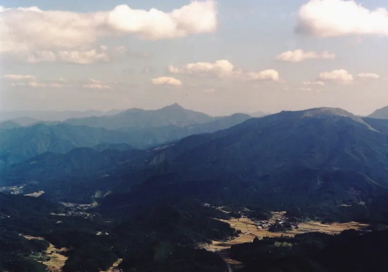
A 1,029-meter peak nicknamed the Yarigatake of South Ise, offering panoramic views of Ise Bay and Mount Takami.
What it is
- A mountain standing 1,029 meters tall in Matsusaka City.
- Known as the Yarigatake of South Ise due to its profile.
- One of the Ise Sanzan and Ise Mitsuboshi mountain groups.
- Grouped together with nearby Mount Horisaka and Mount Shirai.
What to see
- Panoramic views of Ise Bay looking toward the east.
- Clear views of Mount Takami visible to the west.
- The mountain peak as seen from the Kiriyama Castle ruins.