Mount Mikuni
三国岳 (山形県・福島県・新潟県)
A 1,644-meter peak in the Iide range where three prefectures meet, offering a challenging hike with unique historical border geography.
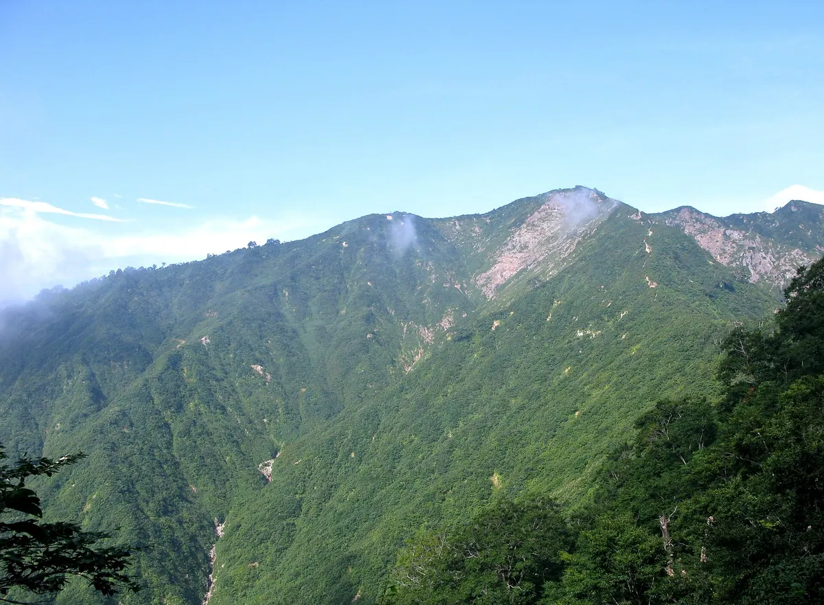
What it is
- A 1,644-meter peak belonging to the Iide mountain range.
- The highest mountain in Japan to carry the name Mikuni.
- A geographical point marking the borders of three former provinces.
- A site where a narrow strip of Fukushima territory extends along the ridge.
What to see
- The Mikuni-goya mountain hut located directly at the summit.
- Challenging trail sections featuring chains near the summit area.
- A hiking trail connecting the peak to Mount Iboiva.
- Views spanning across Yamagata, Fukushima, and Niigata prefectures.
Getting there
- Start the hike from the Kawairi campground base point.
- Follow the main approach route starting from the Ozawa hut site.
Notes written by Japan Gems from facts in Japanese Wikipedia.
Where it is
Mount Mikuni Open in Google Maps
この施設の関係者の方へ
このページは公開情報をもとに Japan Gems が作成し、訪日外国人向けに英語で掲載しています。 写真や情報の追加・修正を承っています。お店の写真に差し替えることもできます。
このページの情報を更新する