Mount Minami
南岳
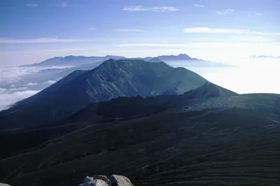
A 1,459-meter peak in the Shiretoko mountain range offering rugged hiking trails through protected wetlands and dwarf pine zones.
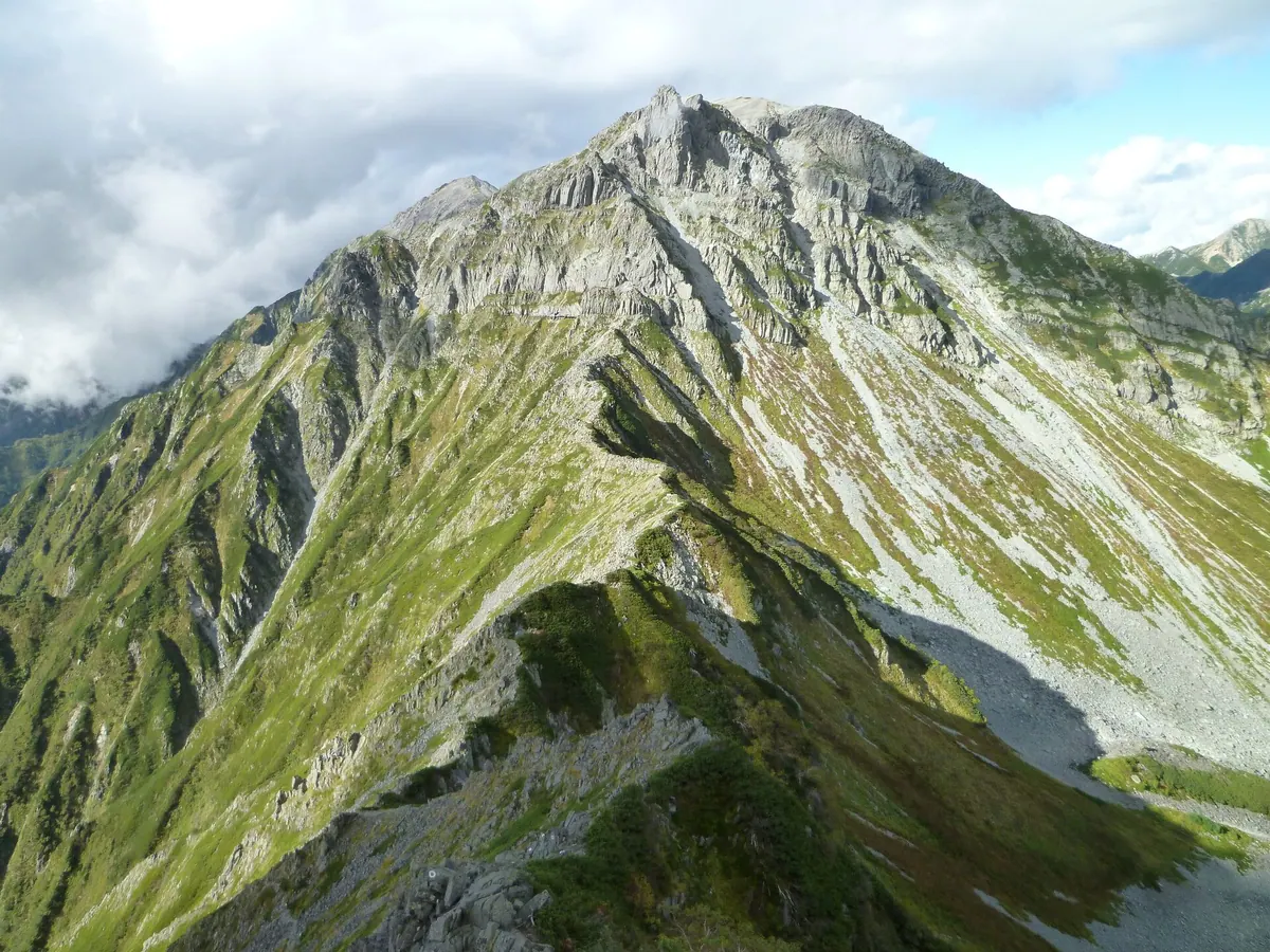
What it is
- A mountain peak standing 1,459 meters tall in the Shiretoko mountain range.
- Located in the central part of the range between Shari and Rausu towns.
- Situated directly south of Mount Shiretoko Io along a connecting ridge trail.
- A natural area featuring the Futatsuike wetland consisting of two distinct ponds.
What to see
- The Futatsuike wetland area containing Ama no Ike and Chi no Ike ponds.
- Expansive zones of Siberian dwarf pine along the high altitude hiking route.
- Protected alpine vegetation visible from the designated mountain trails.
- A mountain campsite located within the scenic Futatsuike wetland area.
Notes written by Japan Gems from facts in Japanese Wikipedia.
Where it is
Mount Minami Open in Google Maps
この施設の関係者の方へ
このページは公開情報をもとに Japan Gems が作成し、訪日外国人向けに英語で掲載しています。 写真や情報の追加・修正を承っています。お店の写真に差し替えることもできます。
このページの情報を更新する