Mount Mitsumine
三峰山
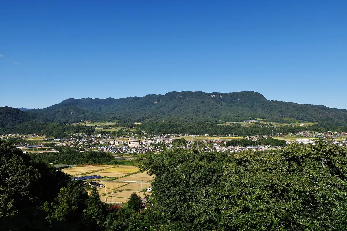
A 1,123-meter mountain in Gunma featuring three distinct peaks, a shrine, and panoramic views of the surrounding Japanese Alps.
What it is
- A mountain spanning Minakami Town and Numata City reaching 1,123 meters in elevation.
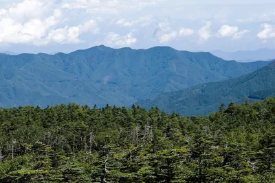
- The terrain consists of three peaks known as Gokanmine, Fukikaemine, and Oibomine.
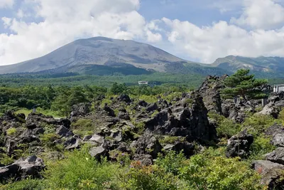
- The landscape is formed from ancient volcanic deposits and Tone welded tuff.
- Gokanmine serves as the highest point of the entire mountain range.
What to see
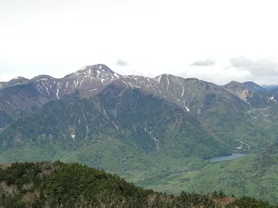
- Mitsumine Pond located in the southern part of the mountain area.
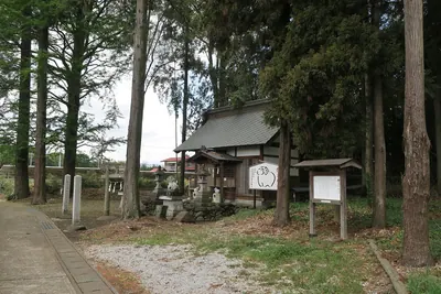
- Kochi Shrine situated at the southern end of the mountain slopes.
- A paraglider takeoff site positioned near the southern end.
- Views of Tanigawadake visible to the northwest from the summit.
Notes written by Japan Gems from facts in Japanese Wikipedia.
Where it is
Mount Mitsumine Open in Google Maps
この施設の関係者の方へ
このページは公開情報をもとに Japan Gems が作成し、訪日外国人向けに英語で掲載しています。 写真や情報の追加・修正を承っています。お店の写真に差し替えることもできます。
このページの情報を更新する