Mount Myo
明山
A 457-meter peak in Ibaraki offering rugged hiking trails and scenic views of the surrounding Okukuji mountains.
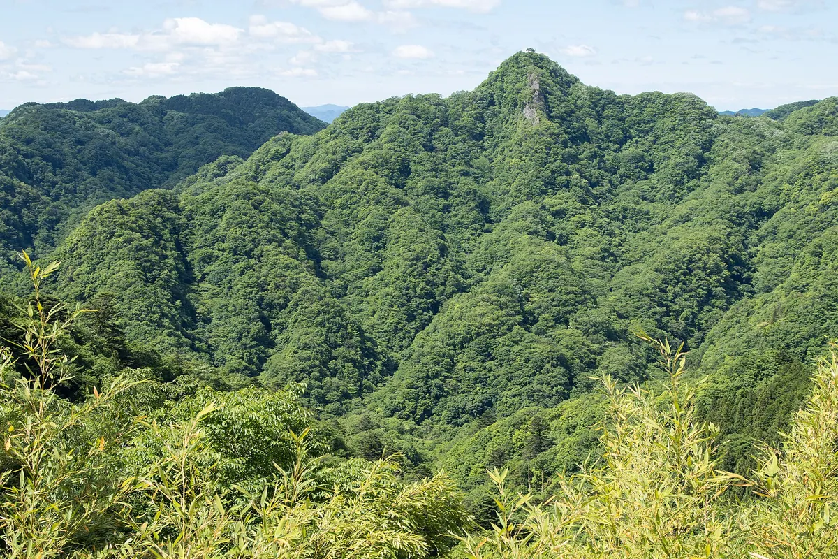
What it is
- A 457-meter mountain peak located in the Kuji Mountains of northern Ibaraki.
- Part of the protected Okukuji Prefectural Natural Park landscape.
- A hiking destination situated west of the Ryujin Otsuribashi Bridge.
- The summit features a fourth-class triangulation point for navigation.
What to see
- Panoramic views of Mount Okukuji Nantai and Mount Takyu from the summit.
- The Ryujin River flowing along the north and east sides of the mountain.
- Kamegafuchi pool located at the northern foot of the peak.
- Steep climbing paths equipped with fixed ropes near the summit area.
- The Sanyo Pass which connects various climbing trails to the top.
Notes written by Japan Gems from facts in Japanese Wikipedia.
Where it is
Mount Myo Open in Google Maps
この施設の関係者の方へ
このページは公開情報をもとに Japan Gems が作成し、訪日外国人向けに英語で掲載しています。 写真や情報の追加・修正を承っています。お店の写真に差し替えることもできます。
このページの情報を更新する