

20 Mountains in Ibaraki worth your time
Japan Gems
24 Mountains in Ibaraki, with what to see and how to get there.
Ibaraki has 24 mountains on Japan Gems. Below are the 20 we can tell you the most about — each one written up in English from Japanese sources, with what to see and how to get there. See all mountains in Ibaraki.
01
Mount Wagakuni
IBARAKI · PLACE 吾国山
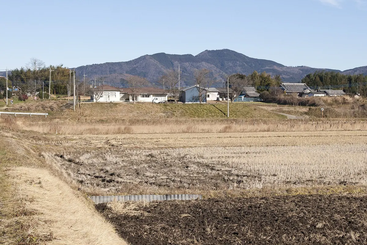
A 518-meter peak in a prefectural natural park featuring a historic shrine, hang gliding areas, and rare wild lilies.
What it is
- A 518-meter mountain located on the border of Kasama and Ishioka cities
- Part of the Wagakuni-Atago Prefectural Natural Park and Kanto 100 Famous Mountains
- The summit houses Tagami Shrine and a first-class triangulation point
- A central point for a hiking trail connecting to Mount Nandai and Mount Atago
What to see
- Native Japanese lily of the valley growing in natural colonies
- A dedicated flight area for hang gliding located near Dousojin Pass
- Panoramic views from the summit and along the mountain ridge trails
- Traditional shrine architecture at the Tagami Shrine site
When to go
- Early to mid-May to see the lily of the valley in bloom
Getting there
- A thirty-minute hike to the summit starting from Dousojin Pass
- A six-hour full hiking course beginning at Iwama Station
- Trail access available via Fukuhara Station on the Mito Line
02
Mount Nandai
IBARAKI · PLACE 難台山
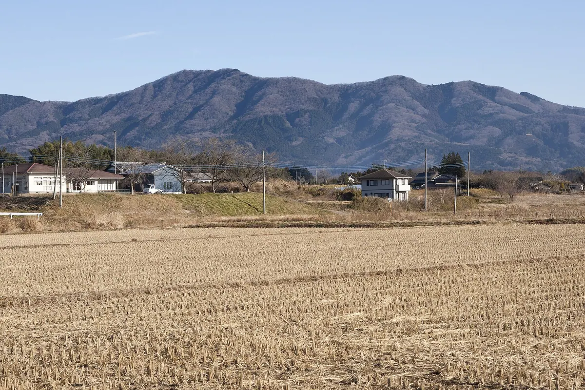
A 553-meter peak in Ibaraki featuring a historic summit shrine, mountain views, and seasonal lily of the valley blooms.
What it is
- A 553-meter mountain located within the Wagakuni-Atago Prefectural Natural Park.
- The former site of Mount Nantai Castle between Ishioka and Kasama.
- A hiking destination featuring a stone shrine dedicated to Mitake Shrine at the summit.
What to see
- A stone shrine and a third-class triangulation point at the peak.
- Wild lily of the valley growing on the northern slope in Nagasawa.
- A direction and mountain name board located in the summit area.
- Hiking trails connecting from Dosojin Pass and Dangoishi Pass.
When to go
- Early to mid-May to see the lily of the valley in bloom.
Getting there
- Access the mountain trails from JR Iwama Station or JR Fukuhara Station.
- Follow the Wagakuni-Atago hiking course which passes directly through the summit.
03
Mount Ashio
IBARAKI · PLACE 足尾山
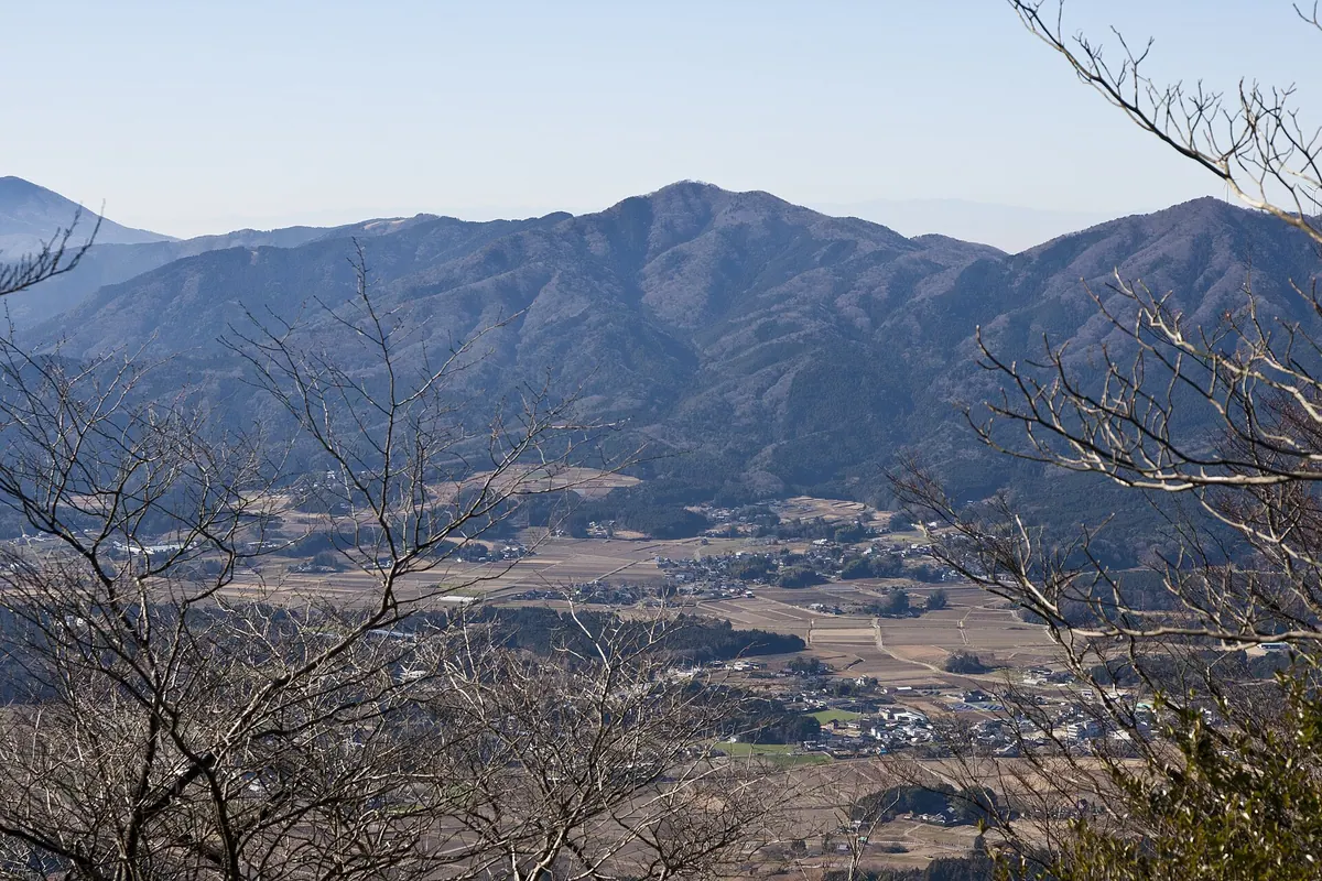
A 627-meter peak in the Tsukuba range featuring a historic shrine dedicated to healing leg and foot ailments.
What it is
- A 627.5-meter mountain peak located within the Tsukuba mountain range.
- Ashio Shrine stands at the summit, named by Emperor Daigo during the Heian period.
- A spiritual site formerly known as Mount Ohatsuse dedicated to healing leg ailments.
- A popular destination for outdoor sports including hang gliding and paragliding.
What to see
- The Ashio Shrine main hall situated at the very top of the mountain.
- Offerings of straw sandals and prosthetic limbs left by visitors seeking healing.
- Multiple takeoff sites used by paragliders and hang gliders.
- Daiwanji Temple located at the eastern foot of the mountain.
- Scenic hiking trails that form part of the Kanto Fureai no Michi.
Getting there
- Hiking trails lead to the summit from Kamiso and Koya in Ishioka City.
04
Mount Hōkyō
IBARAKI · PLACE 宝篋山
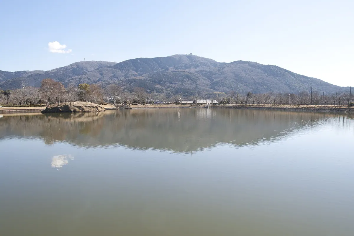
A 461-meter peak featuring a historic stone pagoda, castle ruins, and panoramic views of the Kanto Plain and Mount Tsukuba.
What it is
- A 461-meter mountain on the border of Tsukuba and Tsuchiura within a quasi-national park.
- A historic site featuring a Kamakura period stone pagoda at the summit.
- The location of castle ruins associated with the National Historic Site Oda Castle.
- A natural habitat for the Tanna japonensis cicada species.
What to see
- A stone pagoda dating back to the Kamakura period located at the summit.
- Panoramic views of Mount Tsukuba and the surrounding Kanto Plain.
- Six main hiking trails that lead visitors to the mountain top.
- Communication facilities for television stations and government agencies at the peak.
Getting there
- Public buses run to the trailheads from Tsuchiura and Tsukuba stations.
- The summit is accessible by car via the Tsukuba Purple Line.
05
Mount Nabeashi
IBARAKI · PLACE 鍋足山
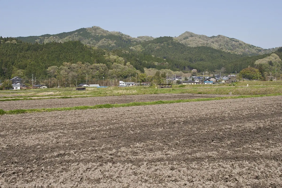
A 552-meter mountain in northern Ibaraki featuring three rocky peaks, steep cliff climbs, and numerous small waterfalls.
What it is
- A 552-meter mountain located in the Kuji Mountains of northern Ibaraki.
- The peak area consists of three distinct summits made of agglomerate rock.
- It is also known by the alternative name Mount Iwamatsu.
- Five main climbing routes lead hikers to the summit area.
What to see
- Cliffs made of andesitic agglomerate with ropes and chains for climbing.
- Multiple small waterfalls collectively known as the Nabeashi Forty-eight Falls.
- A stone shrine and a pine tree located on the 529-meter peak.
- A third-class triangulation point named Sasaharairi on the 552-meter summit.
Getting there
- The ascent from the Satomi district takes approximately sixty to ninety minutes.
06
Mount Yamizo
IBARAKI · PLACE 八溝山
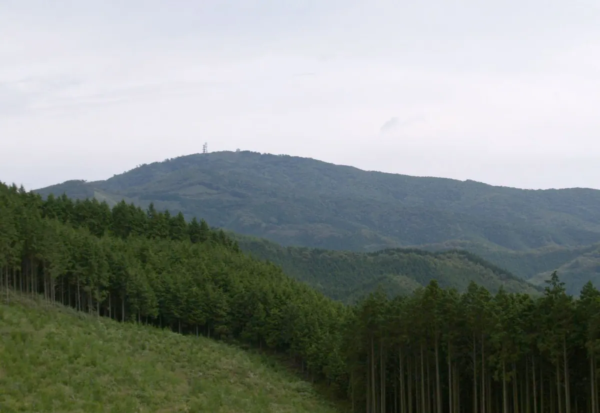
The highest peak in Ibaraki Prefecture featuring a castle-shaped observation deck, historic temples, and famous mountain springs.
What it is
- The highest peak in Ibaraki Prefecture standing at 1,021.8 meters.
- The mountain serves as the source of the Kuji River.
- A historic site where Mito Tengu Party members once barricaded themselves.
- The name of the mountain is attributed to the famous monk Kukai.
What to see
- A castle-shaped observation deck located at the mountain summit.
- Yamizomine Shrine situated at the highest point of the peak.
- Nichirinji Temple located at the eighth station of the mountain.
- The Yamizo Five Waters which are selected as famous springs.
- The Nasu Kogen digital broadcasting relay station.
When to go
- A paved road allows vehicles to reach the summit area year-round.
07
Mount Gongen
IBARAKI · PLACE 権現山
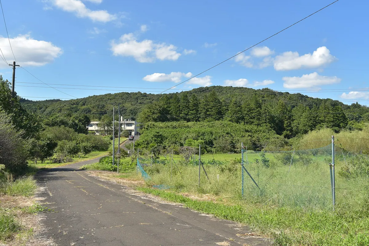
A 99.5-meter peak featuring medieval castle ruins, a Shinto shrine, and a monument marking a 1929 imperial military observation point.
What it is
- A 99.5-meter mountain located on the border of Kasumigaura and Ishioka.
- Part of the southeastern Tsukuba mountain range near the Koise River.
- A city-designated historical site containing medieval castle ruins related to Shizuku Castle.
- The location where Emperor Showa supervised military maneuvers in 1929.
What to see
- Visible earthworks and moats remaining from the medieval castle at the summit.
- A stone monument marking the imperial observation point from the Showa era.
- A Gongen shrine enshrined at the top of the mountain.
- A fruit research station located at the southern foot of the peak.
- Views of the surrounding landscape from the summit accessible by a forest road.
08
Mount Tsubakuro
IBARAKI · PLACE 燕山
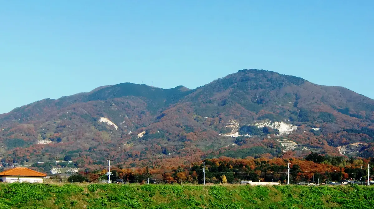
A twin-peak mountain in the Tsukuba range featuring broadcasting facilities and access via the Kanto Fureai Trail hiking path.
What it is
- A 701-meter twin-peak mountain bordering Sakuragawa and Ishioka cities.
- Part of the Tsukuba mountain range in the Kanto region.
- The site of radio and television transmission facilities since 1970.
- A location known for granite production with quarries on the western slopes.
What to see
- The northern peak standing at an elevation of 701 meters.
- The southern peak reaching a height of 698 meters.
- NHK Mito FM station and other broadcasting towers on the summits.
- Sections of the Kanto Fureai Trail passing through the mountain area.
- Active granite quarries located along the western side of the slopes.
- A forest road that provides direct vehicle access to the southern peak.
09
Mount Tsukuba
IBARAKI · PLACE 筑波山
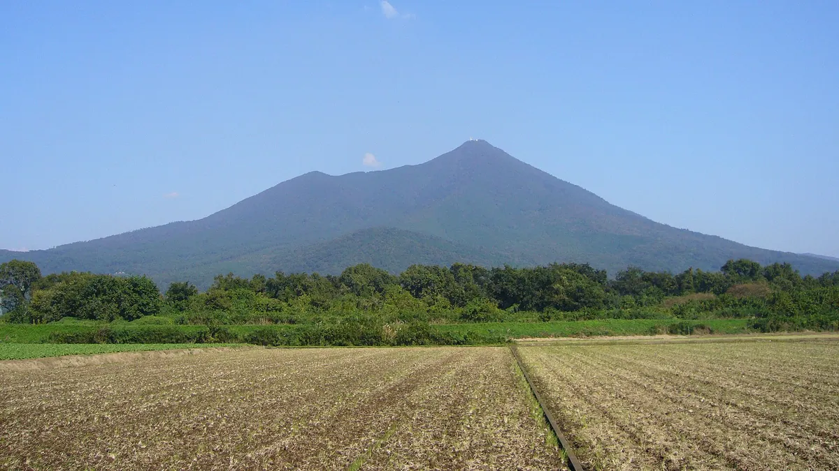
A dual-peak mountain featuring a historic shrine, scenic ropeways, and a famous plum grove within a quasi-national park.
What it is
- A 877-meter mountain with two distinct peaks named Nantai and Nyotai
- One of Japan's 100 Famous Mountains located within a quasi-national park
- Land owned by Tsukuba Shrine stretching from the mountainside to the summits
- A site known for granite formations and the legendary toad oil sales pitch
What to see
- A plum grove at 250 meters elevation containing 1,000 trees
- Slopes where small Fukure oranges are cultivated in warmer areas
- Views from the cable car and ropeway that provide access to the peaks
- Natural rock formations composed of granite and gabbro
Getting there
- Shuttle buses connect Tsukuba Station directly to the mountain trailheads
10
Mount Kamine
IBARAKI · PLACE 神峰山
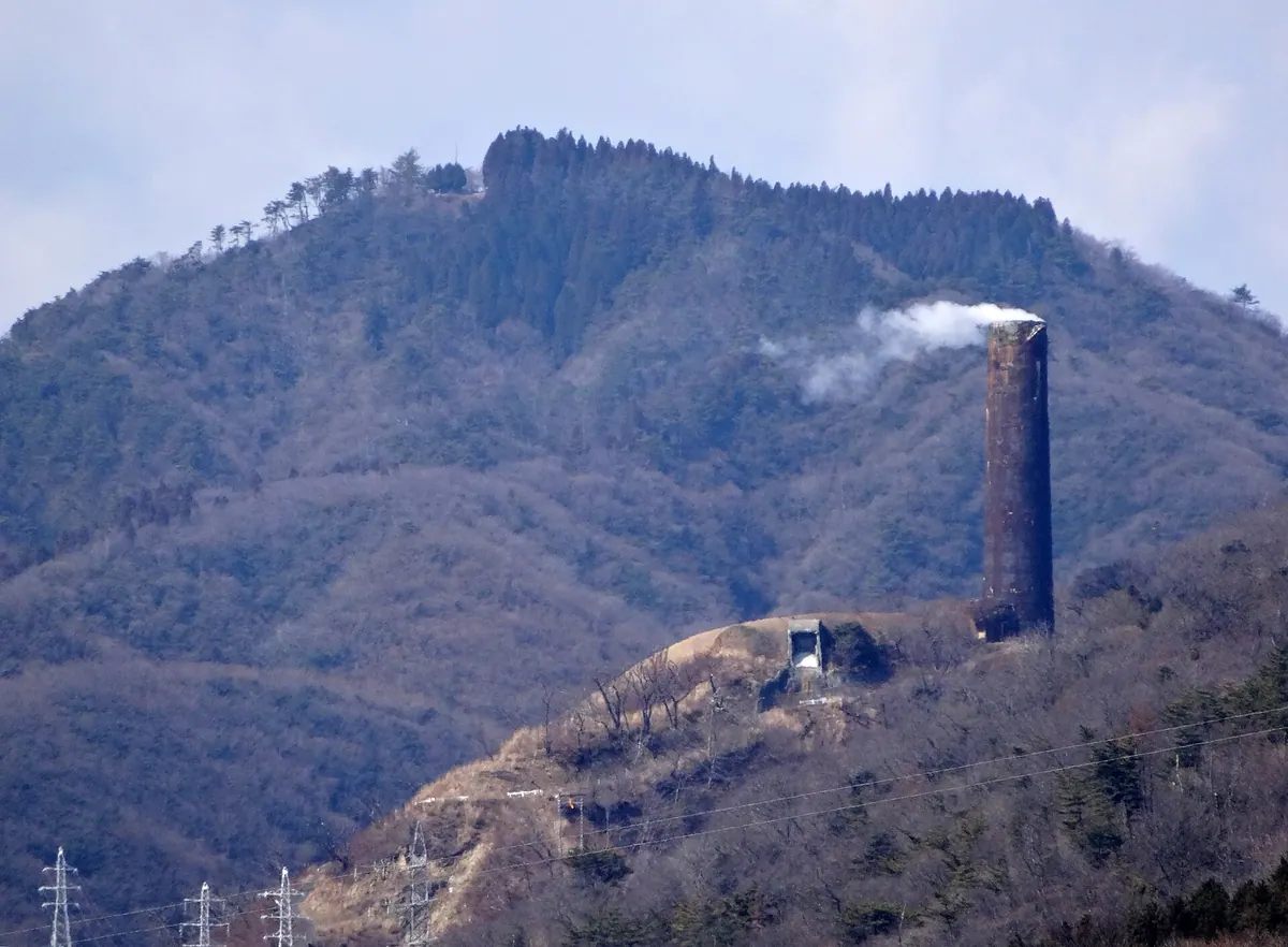
A historic mountain in Hitachi featuring a shrine, hiking trails, and monuments dedicated to the city's industrial mining heritage.
What it is
- A mountain with two peaks, the highest reaching 587.1 meters in Hitachi City.
- The site of Kamine Shrine, where Tokugawa Mitsukuni once watched the sunrise.
- The location of the former Hitachi copper mine and the historic Giant Chimney.
- A geological site composed of Paleozoic metamorphic rocks and granite.
What to see
- Kamine Shrine situated at the southern summit of the mountain.
- The Hitachi Giant Chimney Memorial Monument located at the peak.
- A weather observation station standing near the top of the mountain.
- The Nikko Museum built on the site of the former copper mine.
- Hiking trails that connect the summit to Kamine Park and Motoyama Tunnel.
11
Mount Moriganefuji
IBARAKI · PLACE 盛金富士
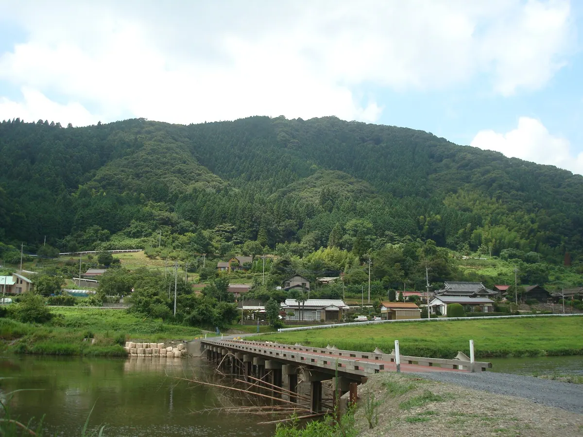
A 340-meter peak in Ibaraki featuring a summit shrine, rare wildflowers, and panoramic views of the Kuji River valley.
What it is
- A 340.6 meter mountain in the Torinoko block of the Yamizo Mountains.
- The summit hosts a shrine dedicated to Fuji Jinja.
- The name comes from its resemblance to Mount Fuji when viewed from Funyu Bridge.
- A hiking destination located to the west of the Kuji River.
What to see
- Colonies of Shortia uniflora flowers growing between the mountainside and the peak.
- A panoramic view of the Kuji River from the mountain top.
- Mount Okukuji Nantai visible to the northeast from the summit.
- Rest areas featuring tables and benches for visitors at the peak.
Getting there
- The trailhead is located 400 meters from JR Shimogawa Station.
12
Mount Tatsuware
IBARAKI · PLACE 竪破山
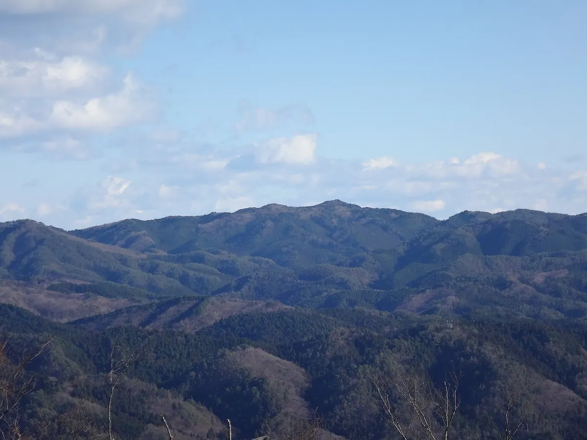
A 658-meter peak featuring unique granite formations, waterfalls, and a historic summit shrine within a prefectural natural park.
What it is
- A 658.3 meter mountain bordering Takahagi and Hitachi within a prefectural natural park.
- The summit houses Kurosaki Shrine, dedicated to the deity Kurosaka-no-mikoto.
- The peak consists of ancient Cretaceous period Abukuma granite formations.
- The shrine buildings were rebuilt by Sakanoue no Tamuramaro during an eastern expedition.
What to see
- Tachiwareishi is a massive granite boulder split cleanly into two pieces.
- Seven strange rock formations and three waterfalls are located across the mountain.
- The Kurosaki Shrine sits directly at the mountain summit.
- Views from the peak overlook the surrounding Hanazono Hananuki Prefectural Natural Park.
13
Mount Myo
IBARAKI · PLACE 明山
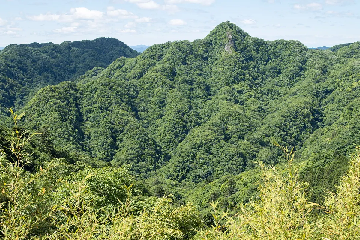
A 457-meter peak in Ibaraki offering rugged hiking trails and scenic views of the surrounding Okukuji mountains.
What it is
- A 457-meter mountain peak located in the Kuji Mountains of northern Ibaraki.
- Part of the protected Okukuji Prefectural Natural Park landscape.
- A hiking destination situated west of the Ryujin Otsuribashi Bridge.
- The summit features a fourth-class triangulation point for navigation.
What to see
- Panoramic views of Mount Okukuji Nantai and Mount Takyu from the summit.
- The Ryujin River flowing along the north and east sides of the mountain.
- Kamegafuchi pool located at the northern foot of the peak.
- Steep climbing paths equipped with fixed ropes near the summit area.
- The Sanyo Pass which connects various climbing trails to the top.
14
Mount Takamine
IBARAKI · PLACE 高峯
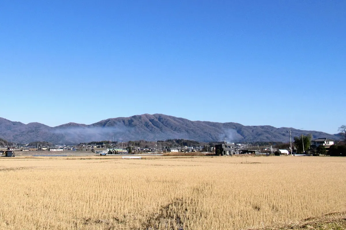
A 519-meter peak famous for wild cherry blossoms and panoramic views from a former paragliding site turned lawn.
What it is
- A mountain standing 519.6 meters tall on the border of Sakuragawa and Motegi.
- A peak also known by the local name Ryujinyama.
- Part of a larger mountain range that includes Mount Amamaki and Mount Yamizo.
What to see
- Extensive groves of wild cherry blossoms blooming across the mountain slopes.
- A summit area featuring a former paragliding site repurposed into a lawn.
- Multiple designated observation points offering views of the surrounding landscape.
When to go
- Spring season for the peak blooming of the wild cherry blossoms.
- Note that vehicles are prohibited on forest roads during the spring months.
15
Mount Sengen
IBARAKI · PLACE 浅間山 (茨城県)
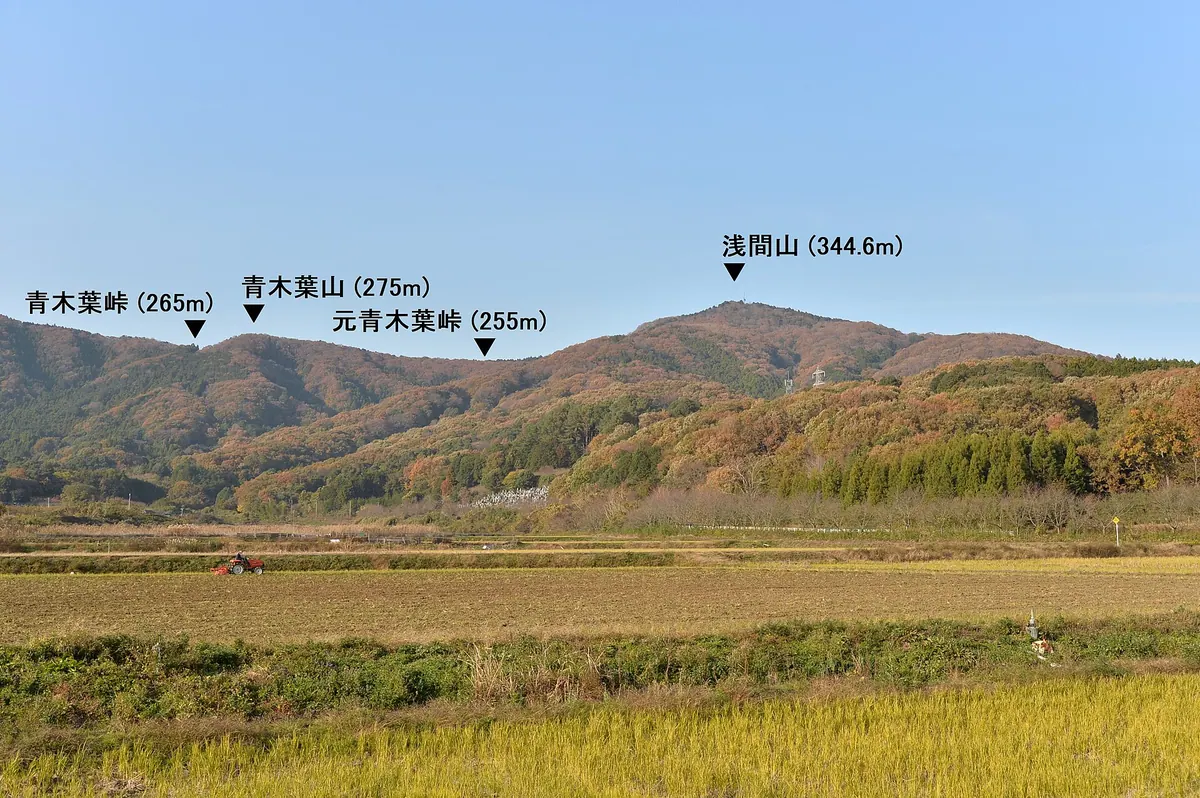
A 344-meter peak in the Tsukuba range offering hiking trails, a summit shrine, and views over local fruit orchards.
What it is
- A mountain standing 344.6 meters tall in the southeastern Tsukuba range.
- A natural landmark situated between the areas of Kasumigaura and Ishioka.
- The site of a small Sengen Shrine located at the very summit.
- A hiking destination connected to Mount Yukiiri and Mount Kankyo by trails.
What to see
- A small Sengen Shrine building located at the mountain peak.
- The Yasato Minami television relay station standing at the summit.
- Mitsuishi Forest Park situated on the southern side of the mountain.
- Chestnut and pear orchards growing along the southern foothills.
- Hiking trails approaching the peak from both the north and south.
16
Mount Kinoko
IBARAKI · PLACE きのこ山
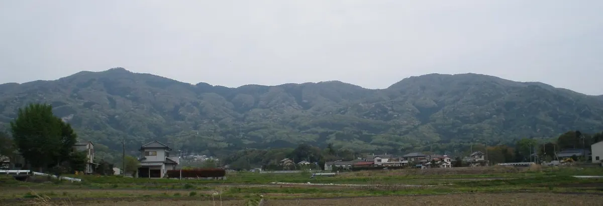
A 527-meter peak in the Tsukuba Range offering active mountain sports, historic temple grounds, and natural hot spring baths.
What it is
- A 527.9 meter mountain bordering Sakuragawa and Ishioka in the Tsukuba Mountain Range
- Named for the abundance of mushrooms historically found throughout the area
- Part of the Kanto Fureai no Michi long-distance hiking course
- Home to Denshoji Temple, the family temple of daimyo Asano Nagamasa
What to see
- Hang gliding and paragliding takeoff sites located along the mountain ridge
- Denshoji Temple situated at the western foot of the mountain
- Denshoji Onsen hot springs located directly in front of the temple gate
Getting there
- Hikers can access the mountain trails via the JR Mito Line Iwase Station
17
Mount Minedera
IBARAKI · PLACE 峰寺山
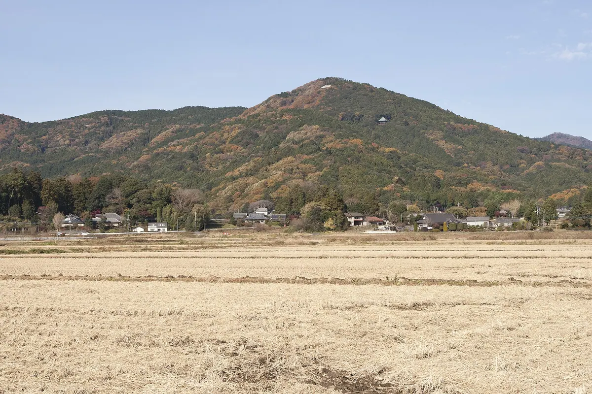
A 379-meter peak in the Tsukuba range featuring a historic temple, a local zoo, and paragliding launch sites.
What it is
- A 379.6 meter peak located in the northern Tsukuba Mountain Range.
- Home to Saikoin, a temple belonging to the Tendai sect of Buddhism.
- The summit area is private property and requires permission to access.
- A mountain destination featuring a zoo and a takeoff point for paragliding.
What to see
- The main hall of Saikoin Temple which features a hanging structure.
- The Higashi Tsukuba Utopia zoo located on the mountain slopes.
- A triangulation station situated within the grounds of the zoo.
- Launch points for hang gliding and paragliding at the summit.
- A roadway that provides vehicle access directly to the top.
18
Mount Takasuzu
IBARAKI · PLACE 高鈴山
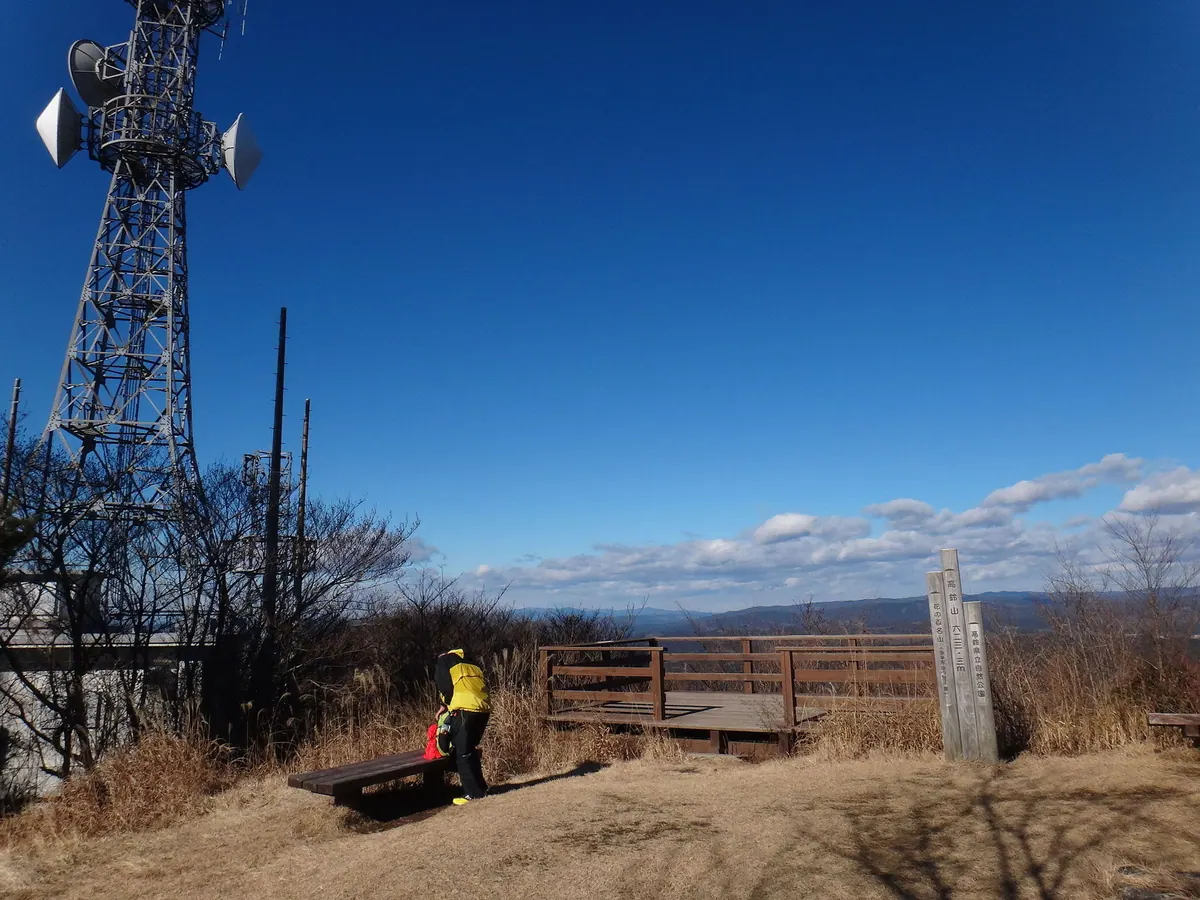
The highest peak in the southern Taga Mountains, offering panoramic views and a selection of seasonal mountain flowers.
What it is
- The highest peak in the southern Taga Mountains at 623 meters elevation.
- A designated area within the Takasuzu Prefectural Natural Park.
- One of Japan's 100 Famous Flower Mountains.
- A site formerly home to the Hitachi copper mine.
What to see
- An observation deck at the summit providing views of the surrounding region.
- A radar rain gauge tower and a first-class triangulation point.
- A LuckyFM Ibaraki Broadcasting relay station located on the mountain.
- The nearby Oiwa Shrine featuring a designated natural monument cedar tree.
- Geological formations consisting of Paleozoic Hitachi metamorphic rocks.
19
Mount Okukuji-Nantai
IBARAKI · PLACE 奥久慈男体山
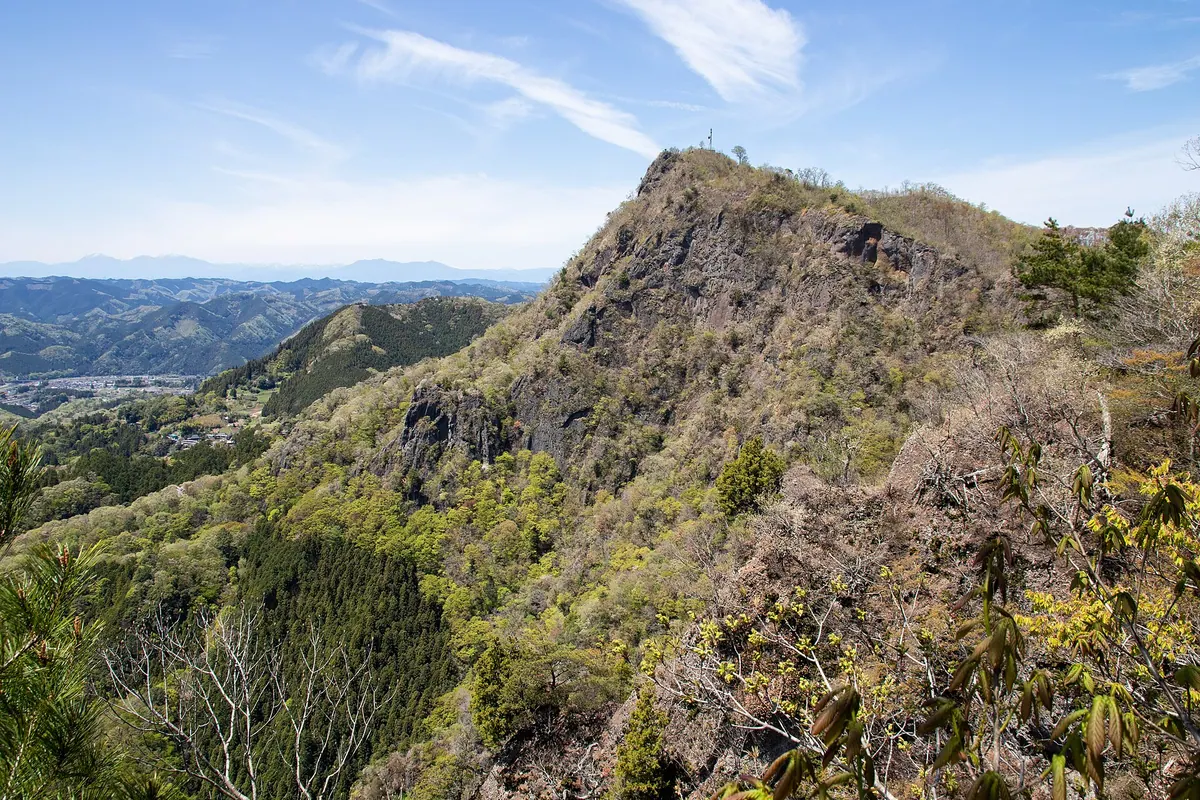
A 653-meter peak in the Okukuji range featuring a massive rock wall and trails connecting to the famous Fukuroda Falls.
What it is
- A 653.8-meter mountain peak located within the Okukuji mountain range.
- A natural landmark also known simply as Mount Nantai.
- The summit features a first-class triangulation point for surveying.
What to see
- A sheer rock wall standing 300 meters high on the western side.
- Scenic hiking trails that connect the mountain to Fukuroda Falls.
- Panoramic views from the summit across the Ibaraki Prefecture landscape.
Getting there
- Hiking routes to the summit begin from Saigane Station.
- Trailheads are accessible from Kami-Ogawa Station.
20
Mount Kaba
IBARAKI · PLACE 加波山
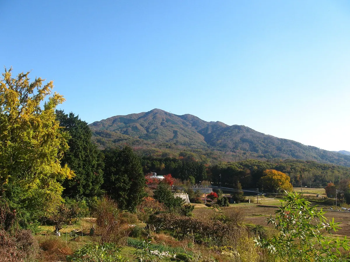
A 709-meter peak in the Tsukuba range famous for mountain worship, tengu legends, and over seven hundred enshrined deities.
What it is
- A 709-meter mountain located within the Tsukuba mountain range.
- A center for mountain worship housing 737 different enshrined deities.
- The site of the 1884 Kaba Mountain Incident involving political activists.
- A source of granite stone featuring the Kabasan Shrine and its three branches.
What to see
- The main hall of Kabasan Shrine located at the mountain summit.
- Tobacco Shrine situated near the peak of the mountain.
- A monument by Shigeru Yoshida standing near the summit area.
- Hiking paths along the Kanto Fureai no Michi trail network.