Mount Nakatsumyōjin
中津明神山
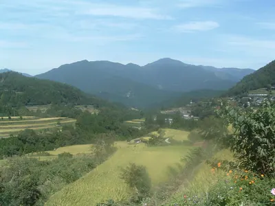
A 1,541-meter peak on the Ehime-Kochi border featuring a distinctive radar dome, ancient shrines, and paragliding opportunities.
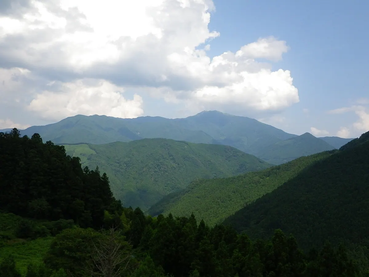
What it is
- A 1,541-meter mountain ranked among the 100 Famous Mountains of Shikoku.
- The source of the Nakatsugawa River located on the Ehime and Kochi border.
- Part of the Nakatsu Keikoku Prefectural Natural Park on its eastern side.
- A geological site composed primarily of metamorphic rocks like mafic phyllite.
What to see
- A large white radar dome situated at the mountain summit.
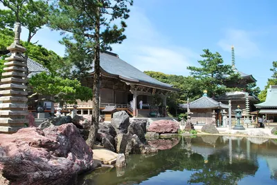
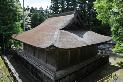
- Two shrines and a statue of Zao Gongen located at the peak.
- Agawa Skypark, a paragliding site on the eastern side of the mountain.
- A first-class triangulation point marking the highest elevation.
- Panoramic views accessible via Kochi Prefectural Road 363.
Notes written by Japan Gems from facts in Japanese Wikipedia.
Where it is
Mount Nakatsumyōjin Open in Google Maps
この施設の関係者の方へ
このページは公開情報をもとに Japan Gems が作成し、訪日外国人向けに英語で掲載しています。 写真や情報の追加・修正を承っています。お店の写真に差し替えることもできます。
このページの情報を更新する