

20 Mountains in Kōchi worth your time
Japan Gems
22 Mountains in Kōchi, with what to see and how to get there.
Kōchi has 22 mountains on Japan Gems. Below are the 20 we can tell you the most about — each one written up in English from Japanese sources, with what to see and how to get there. See all mountains in Kōchi.
01
Mount Chichi
KōCHI · PLACE ちち山
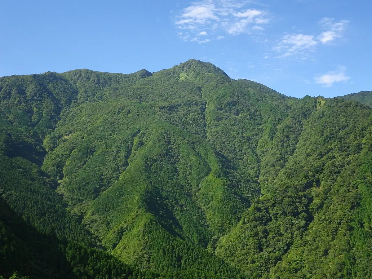
The highest peak in Niihama City, offering a summit shrine and panoramic views of the Seto Inland Sea.
What it is
- The highest peak in Niihama City, located within the Ishizuchi mountain range.
- A mountain also known locally as Chichiyama or Chichiyama-dake.
- Part of the protected Sasagamine Nature Conservation Area at the Kokuryo River headwaters.
- A spiritual site featuring a shrine dedicated to Zao Gongen at the summit.
What to see
- A shrine dedicated to Zao Gongen located at the mountain summit.
- Expansive views of the Seto Inland Sea from the highest point.
- The Chichiyama-wakare ridge junction connecting to nearby Sasagamine.
- Natural landscapes within the Sasagamine Nature Conservation Area.
Getting there
- Community buses run from Niihama City directly to the mountain trailhead.
- The climbing route from Daieizan Tunnel takes approximately three and a half hours.
- The hike involves an elevation gain of about 800 meters from the trailhead.
02
Tengunomori
KōCHI · PLACE 天狗ノ森
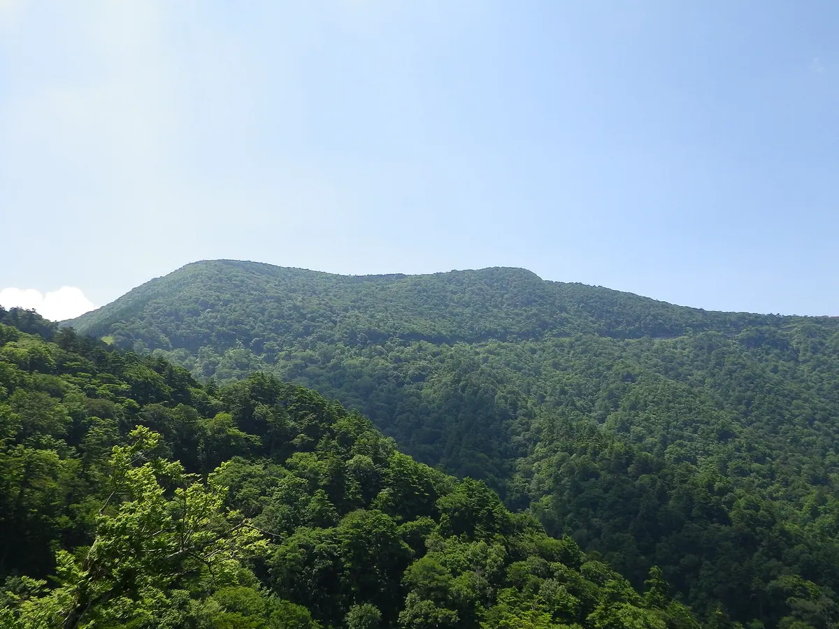
The highest peak of the Shikoku Karst, offering a one-hour hike through unique limestone landscapes and metamorphic rock formations.
What it is
- The highest mountain peak in the Shikoku Karst at 1485 meters elevation
- A summit officially named Tsugayama located on the border of Ehime and Kochi
- One of the 100 Famous Mountains of Shikoku within a protected natural park
- A geological site featuring pelitic schist and ancient high-pressure metamorphic rocks
What to see
- A third-class triangulation point marking the highest point of the range
- Surrounding limestone formations dating back to the Carboniferous and Permian periods
- Nearby national natural monuments including the large fissures of Ohikiwari and Kohikiwari
- Panoramic views of the karst landscape from the mountain summit
Getting there
- The trailhead is located at the Tengu Highlands
- The summit is reachable in approximately one hour of walking from the trailhead
03
Mount Irazu
KōCHI · PLACE 不入山
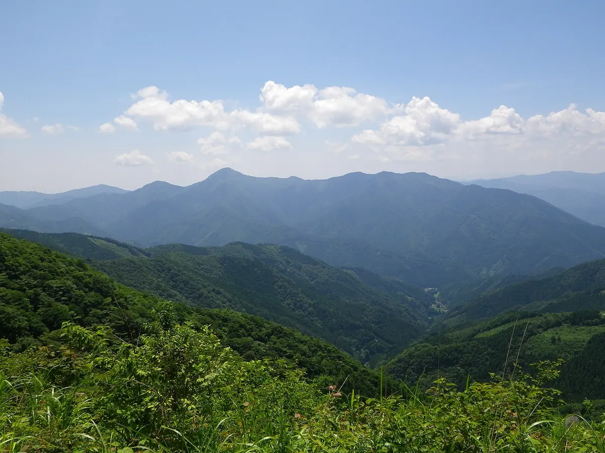
A 1,336-meter peak in Kochi featuring the Shimanto River source and a massive ancient cypress tree near the summit.
What it is
- A 1,336-meter mountain in Tsuno Town recognized as one of the Shikoku 100 Famous Mountains.
- The primary source of the Shimanto River with a dedicated monument on the eastern slope.
- A protected forest area since the Edo period featuring Jurassic accretionary complex geology.
- A hiking destination with two main climbing routes established on the eastern side.
What to see
- The Tarobo Hinoki, a giant natural cypress tree standing near the mountain summit.
- A first-class triangulation point located at the highest point of the peak.
- Diverse vegetation including Japanese umbrella pine, fir trees, and wild rhododendrons.
- Geological formations consisting of sandstone, chert, and melange facies bodies.
- A stone monument marking the official start of the Shimanto River.
04
Mount Iyo-Fuji
KōCHI · PLACE 伊予富士
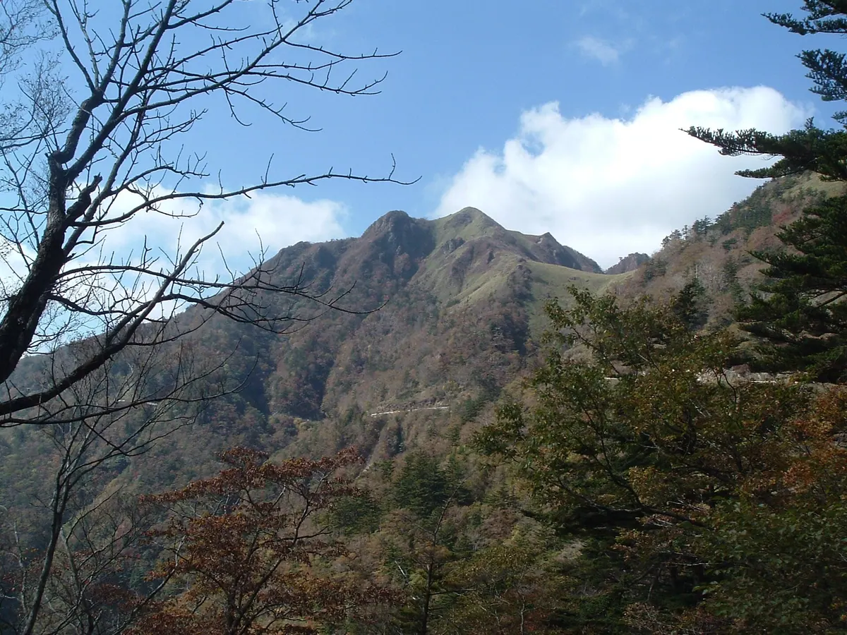
A prominent peak in the Ishizuchi Range offering bamboo grass fields and unique geological formations for hikers in Shikoku.
What it is
- A peak in the Ishizuchi Range listed as one of Japan's 300 Famous Mountains.
- Part of the Ishizuchi Quasi-National Park in the Shikoku Mountains.
- A geological site primarily composed of mafic schist from the Sambagawa Metamorphic Belt.
- The summit features a third-class triangulation point and vast bamboo grass fields.
What to see
- Expansive fields of bamboo grass covering the summit area.
- Kometutsuji and Tsukushi-shakunage plants growing near the mountain top.
- Siliceous and pelitic schists distributed across the northern slopes.
- Views of the surrounding Ishizuchi Range from the peak.
Getting there
- Access the trail from the south exit of the Kanpu-zan Tunnel.
- Follow a three kilometer climbing route starting from the UFO Line.
05
Mount Shiraga
KōCHI · PLACE 白髪山
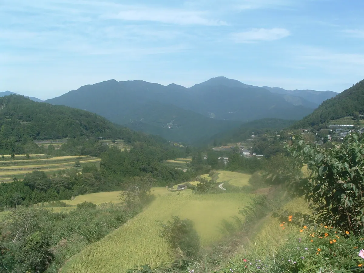
A 1,469-meter peak in Kochi featuring ancient cypress forests that once provided timber for the construction of Osaka Castle.
What it is
- A 1,469-meter mountain located in the Shikoku Mountains of central Kochi Prefecture.
- One of the 100 Famous Mountains of Shikoku, also known as Oku-Shiragayama.
- A protected area designated as the Shiragayama Prefectural Natural Park.
- The source of timber used historically for the construction of Osaka Castle.
What to see
- Natural cypress forests containing trees that are several hundred years old.
- A third-class triangulation point named Kamiseki located at the mountain summit.
- Unique geological formations consisting of serpentinite and various crystalline schists.
- Ancient cypress trees designated as a Natural Monument of Kochi Prefecture.
When to go
- Early summer when rhododendrons and Akebono azaleas bloom near the summit.
06
Mount Okukuishi
KōCHI · PLACE 奥工石山
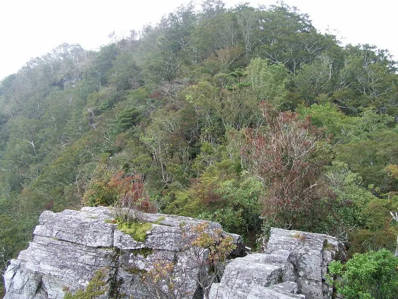
A 1,516-meter peak in the Shikoku Mountains featuring unique geological formations, seasonal flowers, and a historic rainmaking ritual site.
What it is
- A 1,516-meter mountain spanning Otoyo and Motoyama towns in Kochi Prefecture.
- One of the Shikoku 100 Famous Mountains with a first-class triangulation point.
- A historic site used for rainmaking rituals located within the Sambagawa Belt.
- A natural area featuring deciduous broad-leaved forests of beech and horse chestnut.
What to see
- A small shrine situated on top of the Yurugi-iwa rock formation.
- Piemontite schist outcrops near the summit designated as a prefectural natural monument.
- Views of the Tachikawa and Azami rivers flowing on either side of the mountain.
- Akebono azaleas and rhododendrons blooming across the slopes.
When to go
- Early summer to see the blooming azaleas and rhododendrons.
07
Mount Bandagamori
KōCHI · PLACE 蟠蛇森
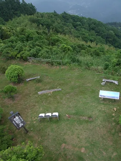
A 770-meter peak in the Shikoku Mountains offering vehicle access to a summit with historic ties and panoramic views.
What it is
- A 770-meter mountain located on the southern edge of the Shikoku Mountains.
- One of the 100 Famous Mountains of Shikoku within Susaki Bay Prefectural Natural Park.
- A site featuring Jurassic and Cretaceous accretionary complexes at the summit.
- The location of the Bandamori first-class triangulation point.
What to see
- Radio towers standing at the very top of the mountain.
- The historic Kuchiki Pass on the northern slope where Sakamoto Ryoma once traveled.
- Snow-breaking cherry blossoms blooming at the southern foot of the mountain.
- A first-class triangulation point marking the official peak elevation.
When to go
- Visit in February to see the snow-breaking cherry blossoms at the southern foot.
08
Godai-san
KōCHI · PLACE 五台山
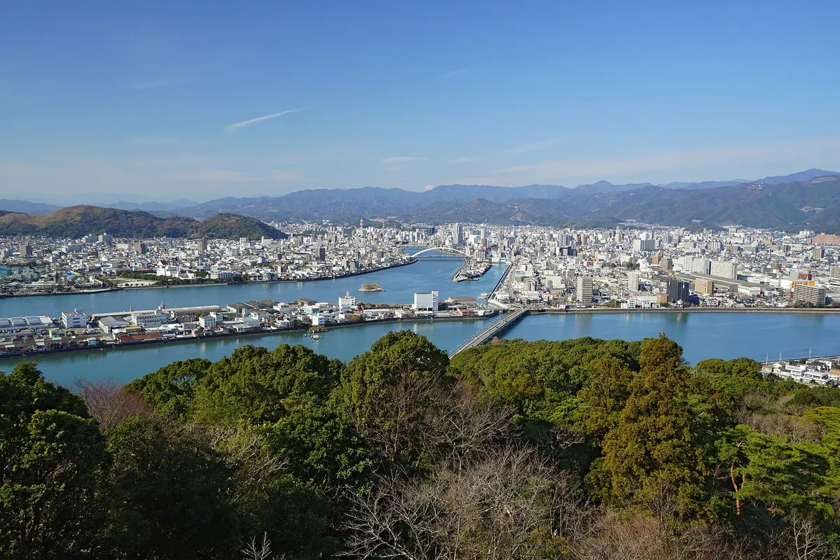
A 146-meter mountain park in Kochi featuring a botanical garden, historic temple, and a modern observation terrace with panoramic views.
What it is
- A 146-meter mountain in the Kochi City suburbs developed as a 19.5-hectare public park.
- Named after China's Mount Wutai by the Buddhist monk Gyoki.
- A site for digital broadcasting transmissions and historical gravesites.
- Home to the Makino Botanical Garden and the historic Chikurin-ji Temple.
What to see
- A new observation terrace at the summit that opened in September 2022.
- Chikurin-ji Temple located at the foot of the mountain.
- The Makino Botanical Garden situated along the mountain slopes.
- Kenzan Shrine and the designated historic grave of Date Munekatsu.
Getting there
- The MY Yu Bus connects Kochi Station directly to the mountain summit.
- Official site
- www.chikurinji.com
09
Mount Yokokura
KōCHI · PLACE 横倉山
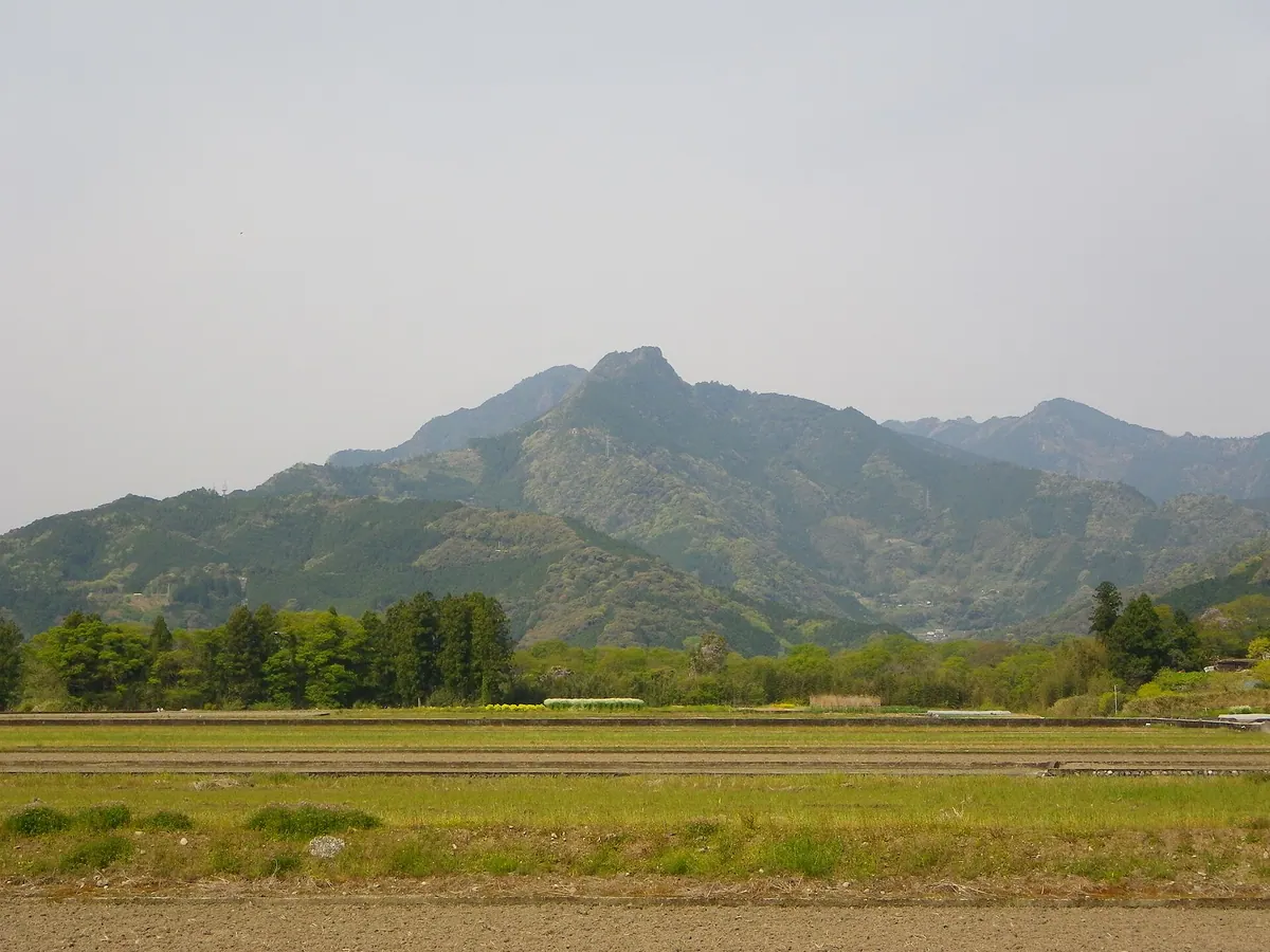
A 775-meter peak in Kochi featuring ancient fossils, a shrine dedicated to Emperor Antoku, and a Tadao Ando-designed museum.
What it is
- A 775-meter mountain designated as a state park and one of Shikoku's 100 famous peaks.
- A historical training ground for Shugendo practitioners located near the Niyodo River.
- Home to Yokokura Shrine and a tomb site managed by the Imperial Household Agency.
- A site of geological importance belonging to the Kurosegawa Tectonic Belt.
What to see
- The Yokokura Mountain Natural Forest Museum designed by architect Tadao Ando.
- Limestone cliffs containing fossils from the Silurian and Devonian periods.
- Diverse plant life including over twenty species discovered by botanist Tomitaro Makino.
- The Yokokura Shrine dedicated to the memory of Emperor Antoku.
10
Mount Shiraga
KōCHI · PLACE 白髪山
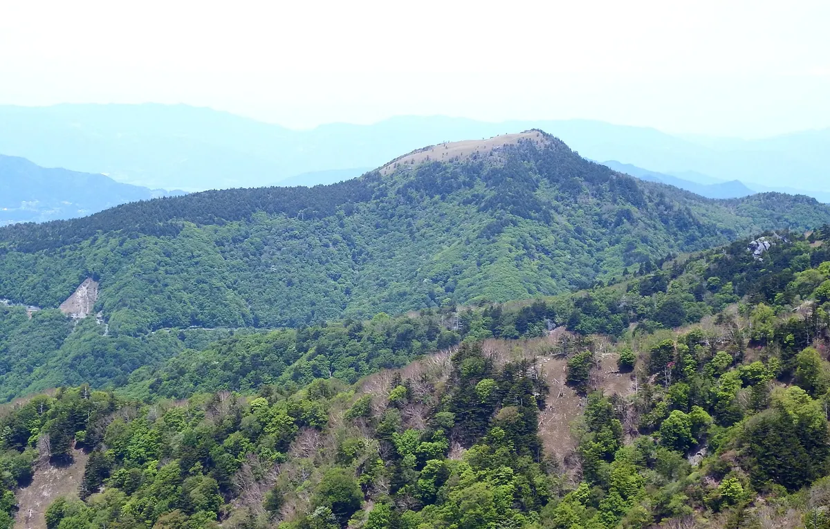
A 1,770-meter peak in Kochi offering expansive views from a bamboo grass summit within a protected national park.
What it is
- A 1,770-meter mountain located in the Tsurugi Mountains of Kochi Prefecture
- One of the 100 Famous Mountains of Shikoku within a Quasi-National Park
- A peak situated 3.3 kilometers south of Mount Miune
- Part of the Miune Scenic Forest and the Shikoku Mountains Green Corridor
What to see
- A summit consisting of a bamboo grass field with expansive views
- A small pond called Shiraga-ike located west of the mountain top
- A third-class triangulation point marking the highest point
- Geological formations composed primarily of metamorphic chert
Getting there
- Access the trailhead located along the Nishikuma-Befu forest road
11
Mount Kajigamori
KōCHI · PLACE 梶ヶ森
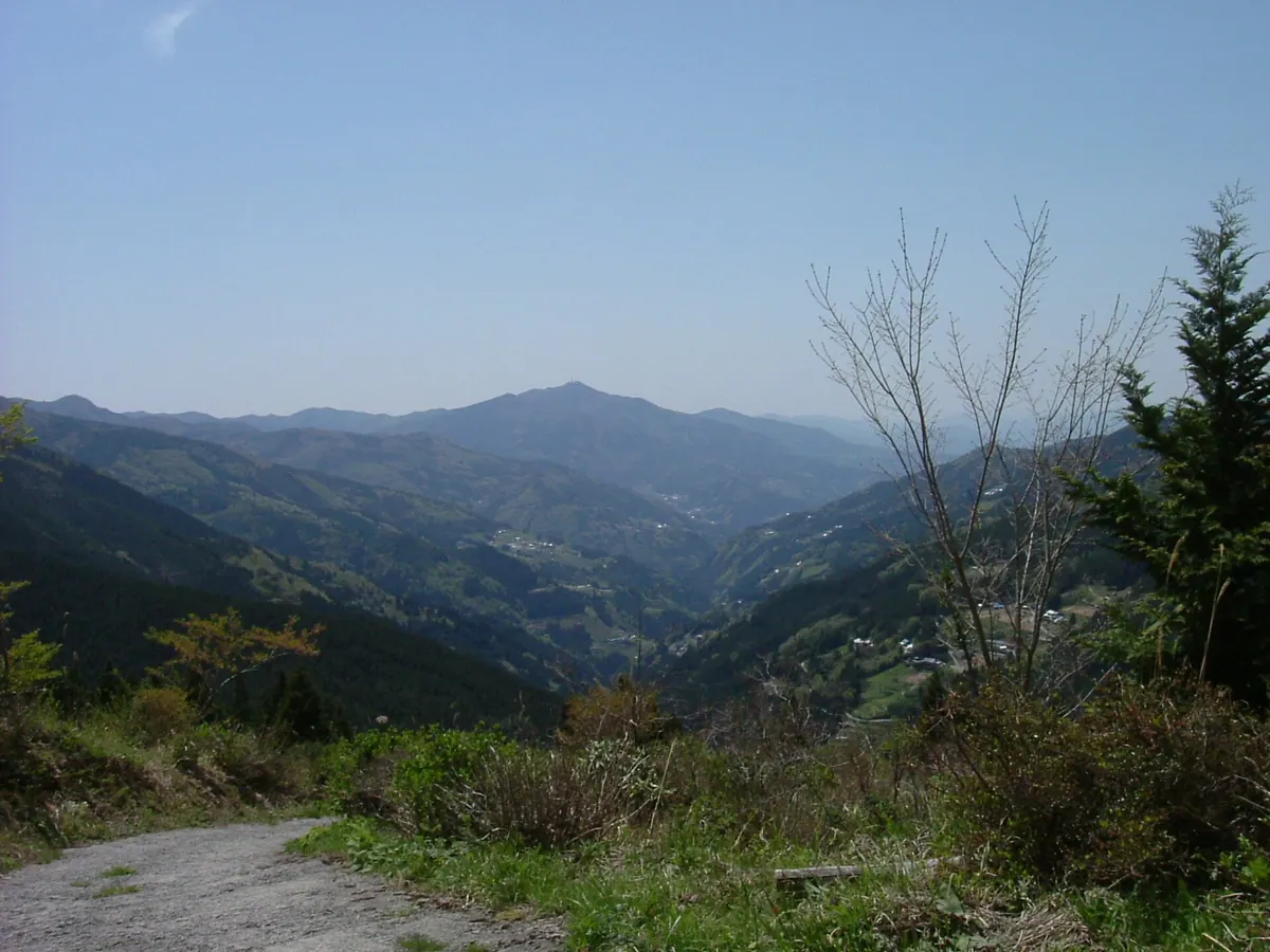
A 1400-meter peak in Kochi featuring a famous waterfall, an astronomical observatory, and ancient temple grounds accessible by car.
What it is
- A 1400-meter mountain in Otoyo Town designated as a Prefectural Natural Park.
- One of the 100 Famous Mountains in Shikoku featuring a first-class triangulation point.
- Site of an inner shrine belonging to Jofukuji Temple, which was founded in 724.
- A summit plateau composed of metamorphic chert dating back to the Jurassic period.
What to see
- Ryuo Falls, which is recognized as one of Japan's Top 100 Waterfalls.
- The Kajigamori Observatory equipped with a 30-centimeter reflecting telescope.
- Radio towers standing at the highest point of the mountain summit.
- Sanso Kajigamori, a facility providing lodging and dining for visitors.
12
Mount Nakatsumyōjin
KōCHI · PLACE 中津明神山
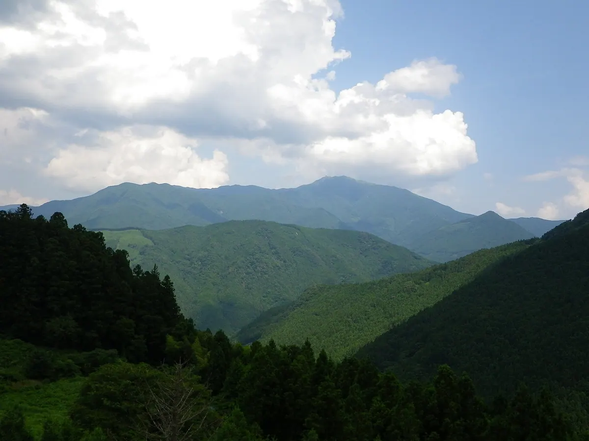
A 1,541-meter peak on the Ehime-Kochi border featuring a distinctive radar dome, ancient shrines, and paragliding opportunities.
What it is
- A 1,541-meter mountain ranked among the 100 Famous Mountains of Shikoku.
- The source of the Nakatsugawa River located on the Ehime and Kochi border.
- Part of the Nakatsu Keikoku Prefectural Natural Park on its eastern side.
- A geological site composed primarily of metamorphic rocks like mafic phyllite.
What to see
- A large white radar dome situated at the mountain summit.
- Two shrines and a statue of Zao Gongen located at the peak.
- Agawa Skypark, a paragliding site on the eastern side of the mountain.
- A first-class triangulation point marking the highest elevation.
- Panoramic views accessible via Kochi Prefectural Road 363.
13
Mount Sasa
KōCHI · PLACE 笹ヶ峰
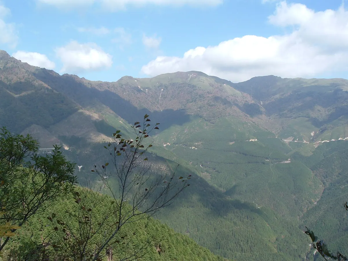
A 1,859-meter peak in the Ishizuchi range featuring expansive bamboo grass fields and historic Buddhist shrines at the summit.
What it is
- A 1,859-meter peak belonging to the Ishizuchi mountain range.
- One of the 200 Famous Japanese Mountains and Three Famous Mountains of Iyo.
- A designated Nature Conservation Area since 1982 primarily composed of mafic schist rock.
- The summit enshrines two Buddhist deities and features a first-order triangulation point.
What to see
- Extensive fields of Ibukizasa bamboo grass covering the mountain summit.
- The Maruyamaso mountain hut which provides accommodation for up to 250 people.
- Northern slopes where skiing was first introduced to the region in 1936.
- Panoramic views from the peak across the Ishizuchi mountain range.
14
Mount Iwaguro
KōCHI · PLACE 岩黒山
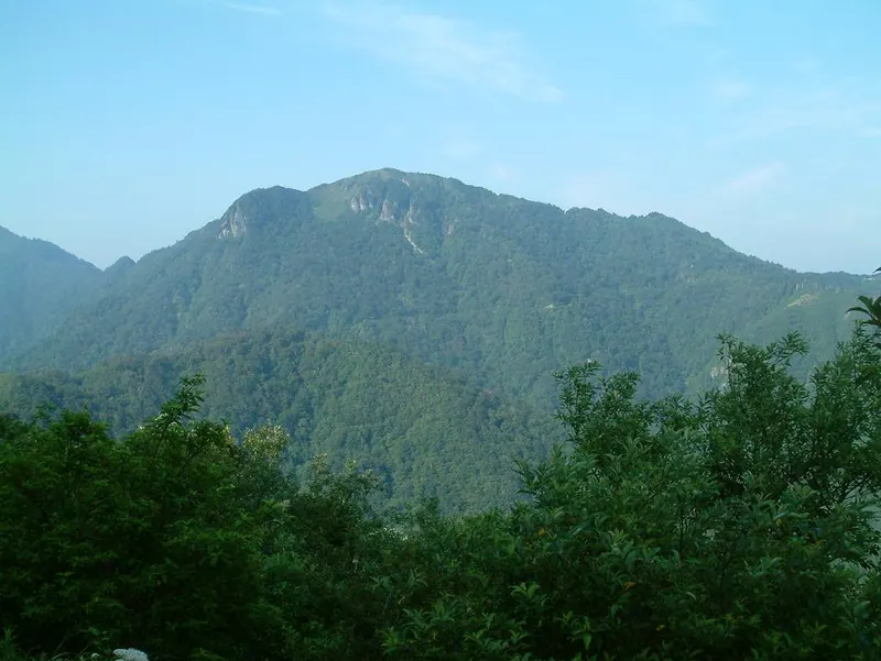
A 1,746-meter peak in the Ishizuchi range offering panoramic views and seasonal azalea blooms for hikers in Shikoku.
What it is
- A 1,746-meter mountain belonging to the Ishizuchi mountain range.
- One of the 100 Famous Mountains of Shikoku.
- A peak formed by Takano pyroclastic flow deposits and Kuma Group conglomerate.
- The source of the Nanokawa and Kamogawa rivers flowing to the Seto Inland Sea.
What to see
- Panoramic views of Mount Ishizuchi and Mount Kamegamori from the summit.
- Akebono azaleas blooming along the mountain slopes.
- Rice azaleas growing in the area near the summit.
- Geological formations belonging to the Sambagawa metamorphic belt.
When to go
- Late April to mid-May to see the Akebono azaleas in bloom.
15
Mount Kanpū
KōCHI · PLACE 寒風山
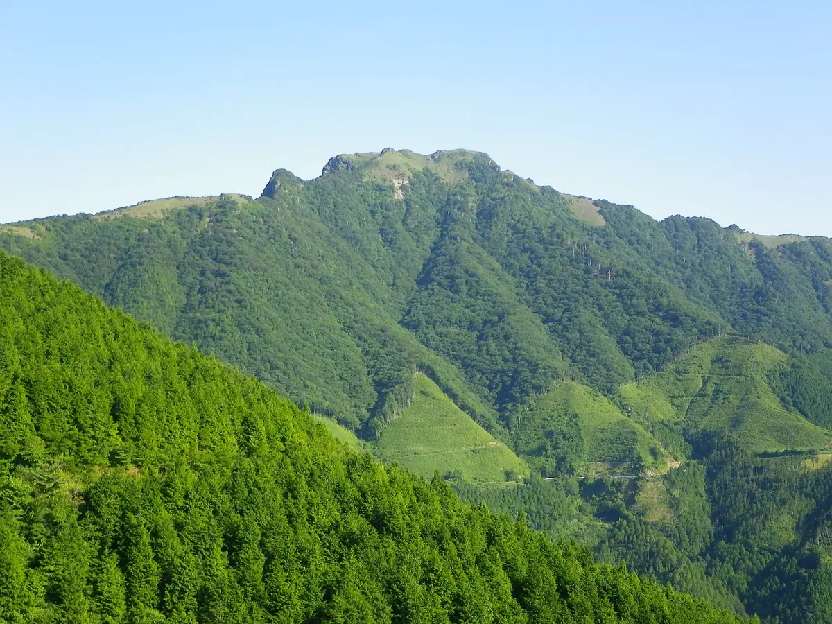
A 1,763-meter peak in the Ishizuchi range offering expansive views and unique geological formations for hikers in Shikoku.
What it is
- A 1,763-meter mountain belonging to the Ishizuchi mountain range.
- One of the Shikoku 100 Famous Mountains formerly known as Samukazeyama.
- Part of the protected Sasagamine Nature Conservation Area.
- A geological site consisting primarily of mafic schist from the Sambagawa Metamorphic Belt.
What to see
- A summit area covered extensively in Shikoku bamboo grass.
- The western face of the mountain known as Ura-Kanpu.
- Remnants of the Motoyasu copper mine which operated at the base until 1972.
Getting there
- Climbers access the trail via the South Exit of the Old Kanpuzan Tunnel.
16
Mount Genjigadaba
KōCHI · PLACE 源氏ヶ駄場
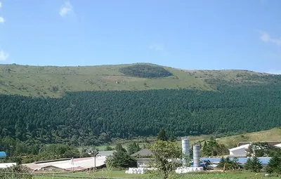
A high-altitude karst plateau and pasture on the Ehime-Kochi border, offering hiking trails and unique limestone landscapes.
What it is
- A karst plateau located in the western Shikoku Karst region.
- A high-altitude pasture used for grazing cattle at 1403 meters.
- The ridge serves as the border between Ehime and Kochi prefectures.
- Ranked as number 34 on the list of 100 Famous Mountains of Shikoku.
What to see
- A stone statue of Kobo Daishi enshrined at the mountain summit.
- The Azaminomine first-class triangulation station located at the highest point.
- A natural forest called Ichiyagamori remaining within the plateau area.
- A hiking trail leading from Sasagatoge to the summit.
- The northern area of the plateau known as Heikegababa.
17
Mount Ima
KōCHI · PLACE 今ノ山
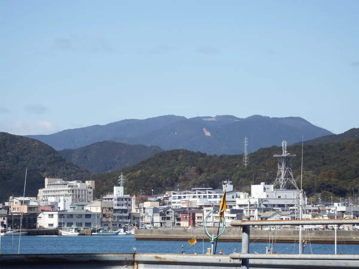
A 868-meter peak in Kochi featuring scenic forest trails, radio towers, and a significant regional radar dome.
What it is
- A mountain peak standing 868 meters tall in Kochi Prefecture.
- One of the recognized Shikoku 100 Famous Mountains.
- A site spanning the border of Mihara Village and Tosashimizu City.
- A location for essential radio towers and aviation radar infrastructure.
What to see
- A walking trail that passes through a designated scenic forest.
- Radio towers situated at the highest point of the peak.
- A Ministry of Land radar dome monitoring airspace from Kii to Kyushu.
- A triangulation point marking the summit at 865.2 meters.
- A 1.5 kilometer hiking path leading from the gate to the top.
18
Mount Senbon
KōCHI · PLACE 千本山
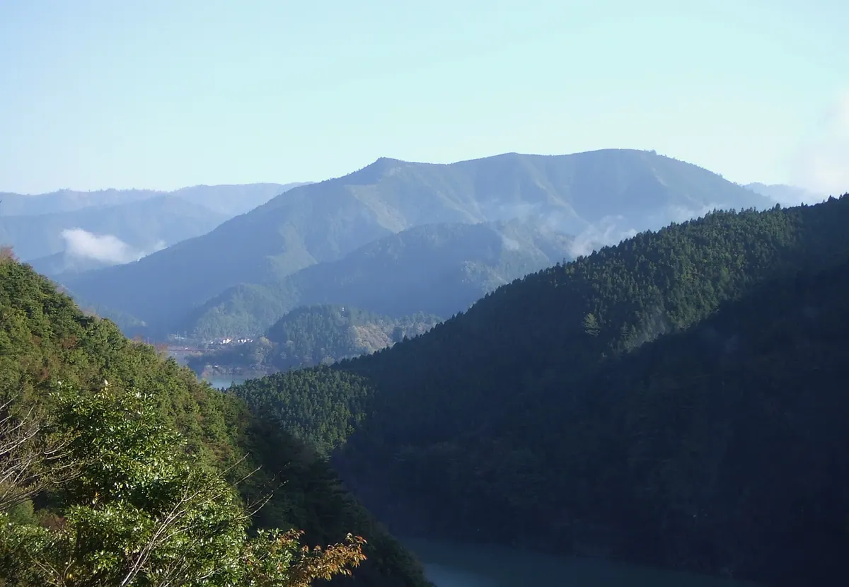
A 1084-meter peak in Kochi featuring massive ancient cedar trees once used to build Toyotomi Hideyoshi's temples.
What it is
- A 1084.5-meter mountain located within the Yanase Prefectural Natural Park in Umaji Village.
- One of the Shikoku 100 Famous Mountains belonging to the Shimanto Belt geological zone.
- A protected forest area once restricted by the Tosa Domain to preserve timber resources.
- The site of a third-class triangulation point located at the mountain summit.
What to see
- Natural Yanase Cedar trees that reach heights of 40 to 50 meters.
- A 200-hectare protected forest managed by the Forestry Agency.
- Remnants of the Yanase Forest Railway which formerly transported timber from the area.
19
Mount Kokuzō
KōCHI · PLACE 虚空蔵山
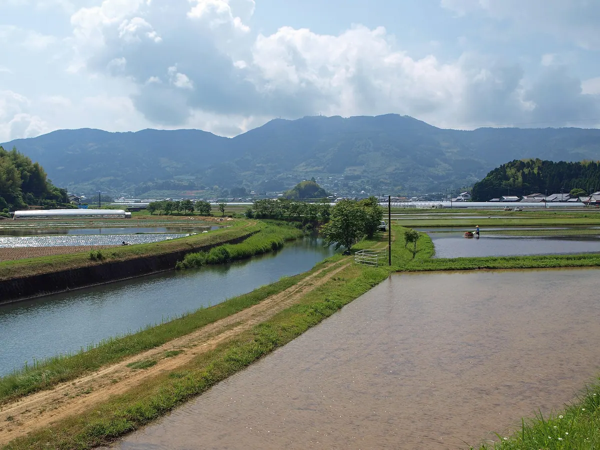
A 675-meter peak on the Shikoku 100 Famous Mountains list featuring a Buddhist statue, waterfalls, and a scenic observatory.
What it is
- A 675-meter mountain ranked among the Shikoku 100 Famous Mountains.
- The name originates from the Buddhist deity Kokuzō Bosatsu.
- The summit is divided into two distinct eastern and western peaks.
- A mountain located on the borders of Tosa, Sakawa, and Susaki.
What to see
- A statue of Kokuzō Bosatsu standing at the summit.
- The Hokogamine Observatory located on the eastern peak.
- Shiramizu Falls situated on the northern slope of the mountain.
- Multiple television and radio towers on the western peak.
- A third-class triangulation point found at the western summit.
20
Mount Sanbōji
KōCHI · PLACE 三傍示山
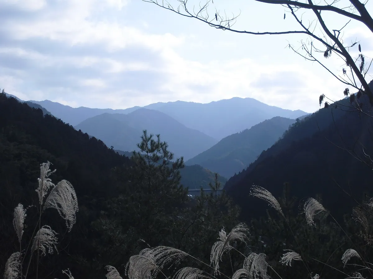
A 1,157-meter peak on the Tokushima-Ehime border marking the historic meeting point of three ancient provincial boundaries.
What it is
- A mountain peak standing 1,157 meters above sea level in central Shikoku.
- The westernmost point of Tokushima Prefecture bordering Ehime Prefecture.
- A site historically known as Mitsumine in Iyo and Fushozan in Awa.
- The name Sanboji signifies the meeting of three distinct boundaries.
What to see
- A third-class triangulation point installed at the mountain summit.
- A three-prefecture boundary point located 200 meters south of the peak.
- Views of Mount Ishizuchi situated 50 kilometers to the west.
- Views of Mount Tsurugi located 40 kilometers to the east.