Mount Narusawa
鳴沢岳
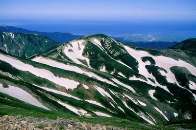
A 2,641-meter peak in Chubu-Sangaku National Park offering rocky summit views and access near the famous Kurobe Dam.
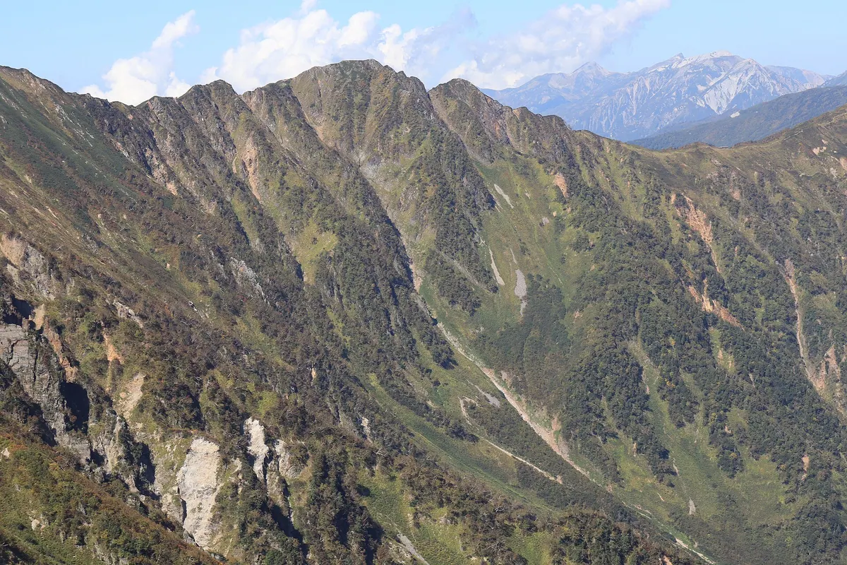
What it is
- A 2,641-meter mountain located within the Ushiro-Tateyama Range of Chubu-Sangaku National Park.
- The peak sits on the border between Nagano and Toyama Prefectures.
- The mountain name is derived from the nearby Narusawa stream.
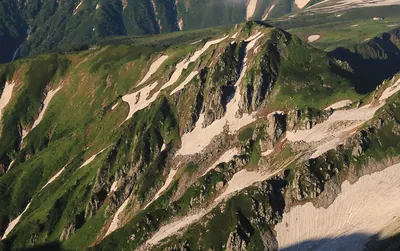
- The summit area is composed of geological welded tuff formations.
What to see
- Dwarf stone pines growing across the rocky summit area.
- Views of the surrounding Chubu-Sangaku National Park peaks.
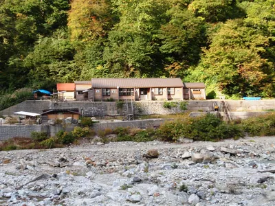
- The nearby Shin-etsu Sanso mountain hut located near the peak.
- A summit located 3.1 kilometers east of the Kurobe Dam.
When to go
- Visit between early July and late September when the Shin-etsu Sanso hut is operational.
Getting there
- The shortest climbing route to the summit begins at Ogisawa Station.
Notes written by Japan Gems from facts in Japanese Wikipedia.
Where it is
Mount Narusawa Open in Google Maps
この施設の関係者の方へ
このページは公開情報をもとに Japan Gems が作成し、訪日外国人向けに英語で掲載しています。 写真や情報の追加・修正を承っています。お店の写真に差し替えることもできます。
このページの情報を更新する