Mount Ōkawairi
大川入山
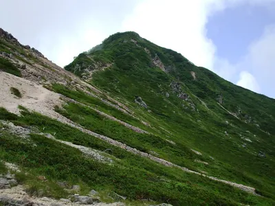
A 1,908-meter peak in the Kiso Mountains offering subalpine scenery and views as one of the 100 Mountains of Shinshu.
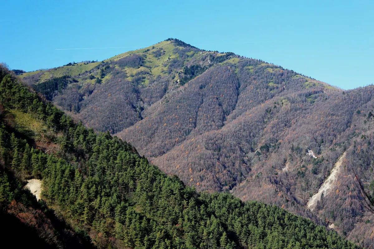
What it is
- The southernmost peak of the Kiso Mountains standing at 1,908 meters high
- A subalpine mountain spanning Achi Village and Hiraya Village in Nagano
- The source of the Yahagi and Tenryu river systems
- Selected as one of the 100 Mountains of Shinshu
What to see
- Extensive bamboo grass fields located around the summit area
- Coniferous forests characteristic of the subalpine zone
- The secondary peak of Mount Yoko at 1,574 meters along the trail
When to go
- Recommended climbing season runs from May to November
Getting there
- Two main climbing routes start from Jibusaka and Araragi Highlands
- Located 14 kilometers from the Iida-Yamamoto Interchange via National Route 153
Notes written by Japan Gems from facts in Japanese Wikipedia.
Where it is
Mount Ōkawairi Open in Google Maps
この施設の関係者の方へ
このページは公開情報をもとに Japan Gems が作成し、訪日外国人向けに英語で掲載しています。 写真や情報の追加・修正を承っています。お店の写真に差し替えることもできます。
このページの情報を更新する