Mount Omine
大峰岳
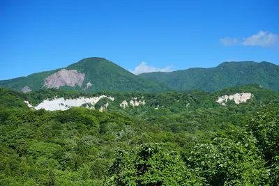
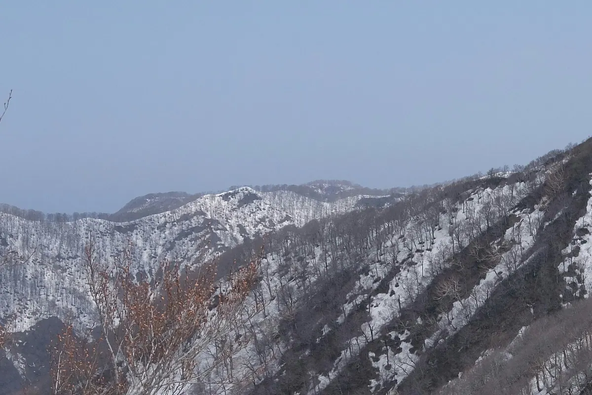
A 1020-meter peak in Aomori's Shirakami Sanchi range offering a challenging climb through a World Heritage buffer zone.
What it is
- A mountain peak located within the Shirakami Sanchi range in Fukaura Town.
- The eastern area of the mountain serves as a World Heritage buffer zone.
- The site was documented by travel writer Sugae Masumi in 1796.
- A summit marker stands at an elevation of 1020 meters.
What to see
- A summit marker located at the 1020-meter peak.
- Views of Komine Peak situated to the west of the mountain.
- A steep rope section located on the southern slope.
- A long mountain ridge extending across the northern side.
Getting there
- Access the peak via the Juniko climbing route of Mount Shirakami.
Notes written by Japan Gems from facts in Japanese Wikipedia.
Where it is
Mount Omine Open in Google Maps
この施設の関係者の方へ
このページは公開情報をもとに Japan Gems が作成し、訪日外国人向けに英語で掲載しています。 写真や情報の追加・修正を承っています。お店の写真に差し替えることもできます。
このページの情報を更新する