

20 Mountains in Aomori worth your time
Japan Gems
20 Mountains in Aomori, with what to see and how to get there.
Aomori has 20 mountains on Japan Gems. Below are the 20 we can tell you the most about — each one written up in English from Japanese sources, with what to see and how to get there. See all mountains in Aomori.
01
Mount Kuzure
AOMORI · PLACE 崩山

A peak in Tsugaru Quasi-National Park offering views of the Juniko lakes and the Sea of Japan from a landslide area.
What it is
- A mountain located within the Tsugaru Quasi-National Park in Aomori Prefecture.
- The site where the twelve ponds of Juniko were originally identified from above.
- A peak situated on a ridge extending from the Mount Shirakami range.
- The summit features a triangulation point and a descriptive signboard.
What to see
- The Okuzure landslide area located at the eighth station of the mountain.
- Panoramic views overlooking the Juniko lakes and the Sea of Japan.
- A natural water source found at an elevation of 300 meters.
- Dense shrubbery covering the summit area and surrounding ridges.
- Twelve distinct ponds visible from the Okuzure vantage point.
Getting there
- The mountain trailhead is located near the Aoike Pond.
- The summit is a two hour fifteen minute walk from the Aoike area.
- A mountain trail connects the peak to Mount Omine and Mount Shirakami.
02
Mount Osore
AOMORI · PLACE 恐山
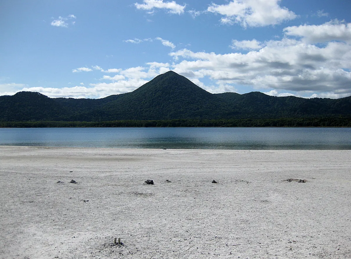
A sacred volcanic landscape featuring a ninth-century temple, sulfurous pits, and spiritual mediums on the shores of Lake Usori.
What it is
- An active volcano and one of Japan's three major sacred grounds located in Aomori.
- Osorezan Bodaiji temple was founded in the 9th century by the monk Ennin.
- The site is dedicated to the deity Enmei Jizo Bosatsu.
- The area is protected as part of the Shimokita Hanto Quasi-National Park.
What to see
- Osorezan Bodaiji temple stands on the shore of the caldera Lake Usori.
- Mount Kamagushi is the highest peak in the surrounding mountain range.
- Volcanic grounds containing high concentrations of gold ore and sulfurous vents.
- Four public hot spring bathhouses located within the temple grounds.
When to go
- The sacred grounds are open to visitors from May to October.
- Itako mediums perform spiritual communications during the annual summer festival.
Getting there
- The site is accessible by bus from JR Shimokita Station.
- Official site
- osorezan.or.jp
03
Mount Shirakami
AOMORI · PLACE 白神岳
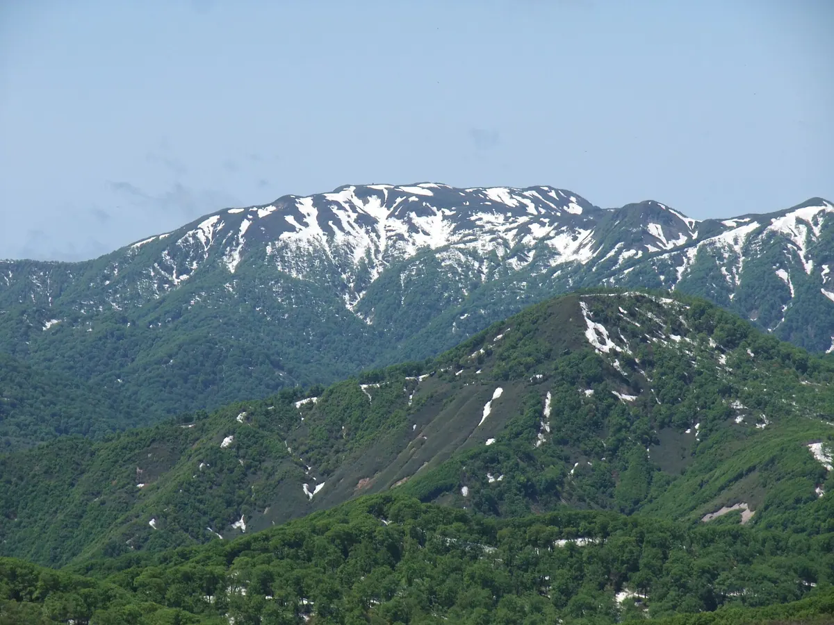
A 1,235-meter peak in a World Heritage site offering historic shrine sites and a newly rebuilt summit mountain hut.
What it is
- A 1,235-meter mountain located within the Shirakami-Sanchi World Heritage site in Aomori Prefecture.
- One of Japan's 200 Noted Mountains appearing in maps as early as 1645.
- A site featuring a first-class triangulation point at 1,231.9 meters.
- A location traditionally climbed by local residents for spiritual purposes.
What to see
- A shrine dedicated to Shirakami Daigongen standing near the mountain peak.
- A mountain hut and toilet facility rebuilt in 2019 through crowdfunding.
- A natural water source located approximately 50 meters below the summit.
- Expansive views from the peak across the protected beech forest region.
When to go
- August 1st is the traditional date for local residents to climb the mountain.
Getting there
- The Mateyama climbing route begins near the Shirakami-dake Tozanguchi Station.
04
Mount Kamafuse
AOMORI · PLACE 釜臥山
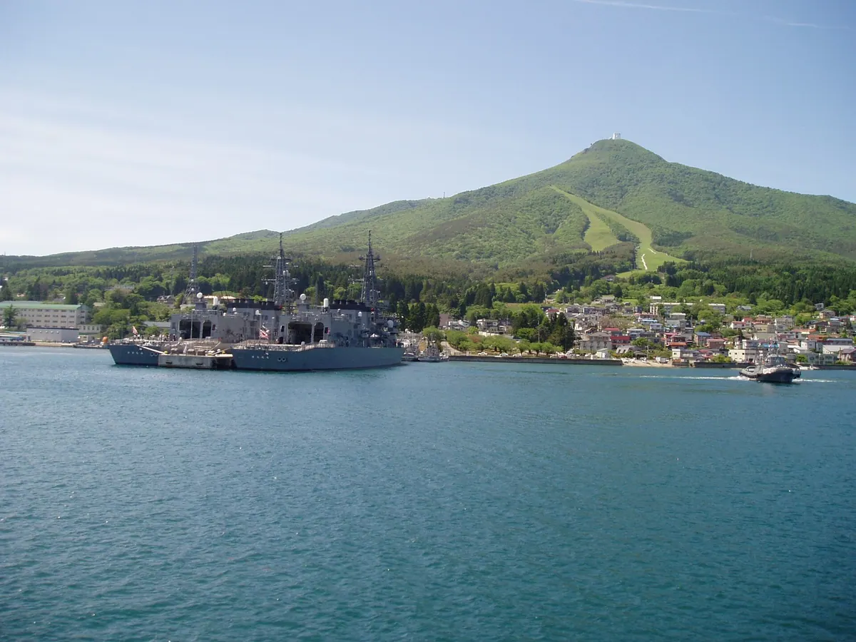
The highest peak of the Osoreyama Mountains offering panoramic views of Mutsu Bay and a butterfly-shaped city night view.
What it is
- The highest peak of the Osoreyama Mountains standing at 878.2 meters.
- A strategic site hosting a Japan Air Self-Defense Force radar station.
- A hub for television and FM radio relay stations for the region.
- Part of the Ominato Sub-Base area under the Ministry of Defense.
What to see
- An observatory at the summit overlooking the waters of Mutsu Bay.
- The Light Swallowtail Butterfly night view created by the city lights below.
- Hiking trails that lead up the mountain from the local ski resort.
- Digital broadcasting equipment and infrastructure installed across the peak.
Getting there
- Access the mountain by driving along Aomori Prefectural Road 4.
- Reach the summit via a private road managed by the Ministry of Defense.
- Start hiking routes from the base at the Kamafuseyama Ski Resort.
05
Mount Momiji
AOMORI · PLACE 紅葉山
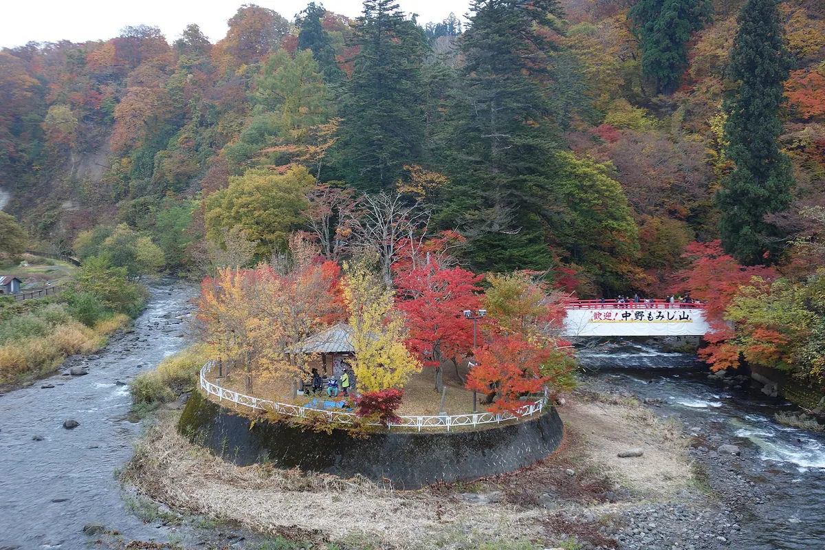
A historic mountain shrine in Kuroishi famous for its diverse maple trees and ancient trees designated as natural monuments.
What it is
- A 263-meter mountain also known as Koarashiyama located in Kuroishi City.
- Nakano Shrine was founded on the mountain in 795 by Sakanoue no Tamuramaro.
- The shrine is dedicated to the deity Yamato Takeru.
- Lord Tsuguru Yasuchika planted one hundred varieties of Kyoto maples here in 1802.
What to see
- Three maple trees and three cedars designated as city natural monuments.
- Two fir trees over two hundred years old protected as prefectural natural monuments.
- A collection of forty-five senryu poetry monuments scattered across the grounds.
- The scenic landscape described by Isabella Bird in her book Unbeaten Tracks in Japan.
Getting there
- Buses run from Konan Railway Kuroishi Station directly to the shrine.
- The site is a ten-minute drive from the Kuroishi Interchange.
06
Mount Ozukushi
AOMORI · PLACE 大尽山
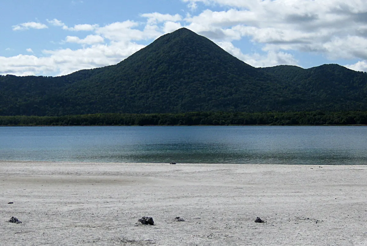
A scenic 827-meter lava dome in Aomori offering panoramic views of Lake Usori, Hokkaido, and the surrounding volcanic mountain ranges.
What it is
- A 827-meter lava dome located within the Osoreyama volcano group in Mutsu City.
- One of the New Japan 100 Mountains formed before the creation of the Usori Caldera.
- A prominent peak situated on the northern side of the volcanic crater area.
What to see
- Panoramic views of Lake Usori and Mount Kamagushi from the summit.
- Mount Iwaki visible to the southwest across the waters of Mutsu Bay.
- The Hakkoda Mountains stretching across the horizon to the south.
- Mount Ezan in Hokkaido visible across the Tsugaru Strait on clear days.
- A nature trail that circles Lake Usori leading toward the mountain peak.
Getting there
- The standard trailhead is located on the northern foot of the mountain.
- Access to the peak requires following the nature trail around Lake Usori.
07
Kushigamine
AOMORI · PLACE 櫛ヶ峯
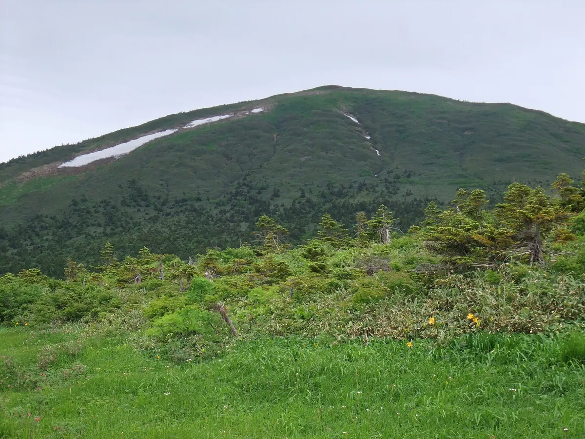
The highest peak in the Southern Hakkoda Mountains, offering panoramic views and rare alpine flora across extensive base wetlands.
What it is
- The highest volcano in the Southern Hakkoda range, also known as Kamidake.
- One of the 100 Famous Mountains of Tohoku.
- A hiking destination with a trail first established in October 1956.
- A natural site featuring extensive wetlands at the base of the mountain.
What to see
- A 360-degree view of the surrounding landscape from the summit.
- Iwaicho and Hinazakura flowers blooming in the wetlands.
- Snow fields that remain on the eastern slopes until late in the season.
- A trail following a former roadway built in the early 1930s.
When to go
- Summer months to see the alpine flowers in bloom.
- Late season to observe the remaining snow on the eastern slopes.
Getting there
- Access the mountain trail starting from Sarukura Onsen.
08
Mount Towada
AOMORI · PLACE 十和田山
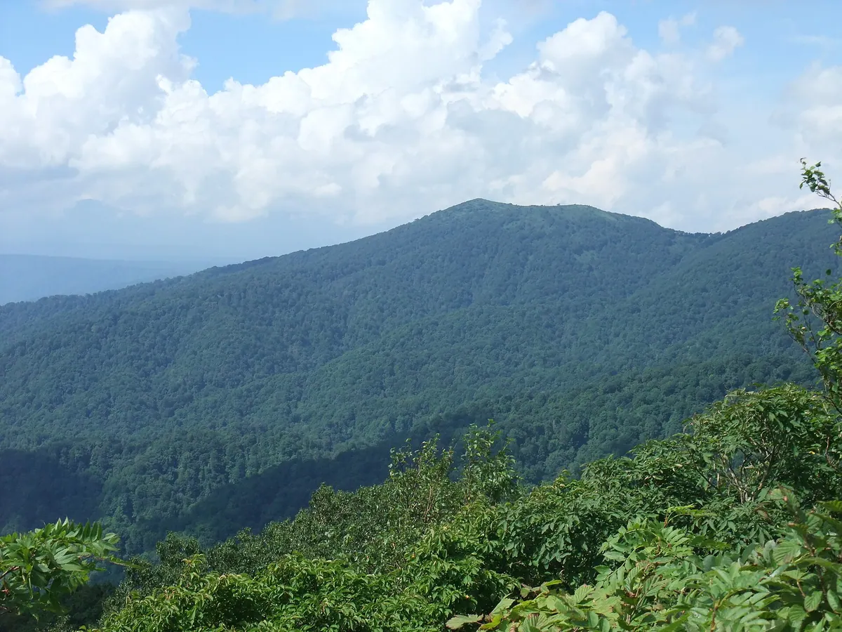
A prominent peak on a volcanic caldera rim offering panoramic views of Lake Towada and the Hakkoda mountain range.
What it is
- The highest peak of the Towada volcano caldera rim at 1,011 meters
- Also known by the names Towada Fuji and Mikodake
- Recognized as one of the Tohoku Hundred Famous Mountains in 1990
- Part of the Towada Sanzan group located in Aomori Prefecture
What to see
- Panoramic views of Lake Towada and Mount Hakkoda from the summit
- A third-class triangulation point marking the highest elevation
- Broadleaf forests of beech and oak covering the lower mountain slopes
- Japanese yew trees growing in the area near the summit
- The Utarube Observatory located along the ridge at 669.4 meters
When to go
- Summer is the only time the Utarube hiking route is available
Getting there
- The hiking trail begins on the east side of Utarube village
09
Mount Takadaōtake
AOMORI · PLACE 高田大岳
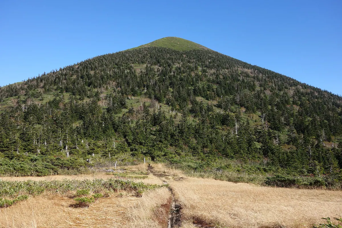
A 1,559-meter volcano in the Hakkoda range featuring a newly rebuilt summit shrine and diverse alpine vegetation zones.
What it is
- A volcano in the Hakkoda mountain range bordering Aomori and Towada cities.
- Designated as a Japan Mountain Heritage site in 2019.
- The summit features Hakkoda-san Shrine, which was rebuilt in 2022.
- Historically, residual snow patterns on the slopes were used for fortune-telling.
What to see
- Distinct vegetation zones including beech forests and dwarf stone pine.
- The summit shrine constructed from local Aomori cypress wood.
- The official summit marker located at an elevation of 1559 meters.
When to go
- Visit during the spring season for backcountry skiing opportunities.
Getting there
- A steep direct climbing route begins from Yachi Hot Spring.
- Access the summit from Sukayu Hot Spring by traveling via Sennindai.
10
Mount Oppu
AOMORI · PLACE 尾太岳
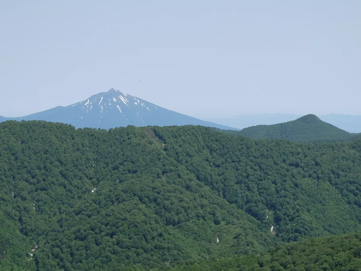
A 1,083-meter peak in the Shirakami-Sanchi range featuring rare minerals, hemlock forests, and a unique stone monument dedicated to monkeys.
What it is
- A 1,083-meter mountain peak located within the Shirakami-Sanchi mountain range.
- The site of a former silver and copper mine that operated until the Showa period.
- A designated Prefectural Natural Environment Conservation Area with Ainu linguistic origins.
- A geological formation composed of tuff with andesite intrusions.
What to see
- Coniferous forests of northern hemlock growing near the mountain summit.
- A stone monument dedicated to monkeys located near the peak.
- The site where globally recognized rhodochrosite minerals were once produced.
- The northern foot where the historic Oppu Mine buildings once stood.
When to go
- Visitors must obtain climbing permission from the mine management office before arrival.
11
Mount Iwaki
AOMORI · PLACE 岩木山
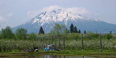
A 1,625-meter volcano known as Tsugaru Fuji, offering a three-peak summit and a historic shrine in a National Park.
What it is
- The highest volcanic peak in Aomori Prefecture at 1,625 meters tall.
- A designated National Park of Japan commonly referred to as Tsugaru Fuji.
- A mountain composed primarily of andesite rock with three distinct summit peaks.
- The site of Mount Iwaki Shrine which stands at both the base and the summit.
What to see
- Three separate peaks at the summit named Iwaki, Ganju, and Chokai.
- The endemic Primula modesta var. matsumurae flower growing on the slopes.
- A first-class triangulation point located at the very top of the mountain.
- The historic buildings of the shrine located at the base and the peak.
When to go
- Visit during the Oyama Sankei festival, a National Important Intangible Folk Cultural Property.
- Official site
- www.iwakisan.com
12
Mount Ohanabe
AOMORI · PLACE 御鼻部山
A 1,010-meter peak on the Lake Towada caldera rim offering panoramic views from a major mountain observatory.
What it is
- A 1,010.6 meter high peak located on the northern shore of Lake Towada.
- Part of the caldera rim serving as the border for Aomori and Akita prefectures.
- A historic site where Dewa mountain priests once performed worship from the summit.
What to see
- The Ohanabe Mountain Observatory, one of the three major viewpoints for Lake Towada.
- Panoramic views of the lake from the highest point on the caldera rim.
- The Tohoku Nature Trail which runs along the southern foot of the mountain.
Getting there
- National Route 102 passes directly next to the summit observatory.
- A parking lot and public toilets are available at the observatory site.
- An unmaintained road connects the mountain area to Sarukura Onsen.
13
Mount Tengu
AOMORI · PLACE 天狗岳
A 957-meter peak in a World Heritage zone offering panoramic views of the Sea of Japan and Oga Peninsula.
What it is
- A mountain standing at an elevation of 957.6 meters in Fukaura Town.
- The southern area belongs to the Shirakami Sanchi World Heritage core zone.
- The mountain trail was established by the Aomori prefectural government in 1994.
- The region serves as a natural habitat for bears, monkeys, and serows.
What to see
- A steep landslide area known as Nozu no Akatakure along the trail.
- A collapsed slope section where climbers must navigate using ropes.
- Summit views overlooking the headwaters of the Oirase and Akaishi Rivers.
- Panoramic views of the Sea of Japan and the Oga Peninsula from the peak.
Getting there
- The trailhead is located at Tengu Pass on the Shirakami Line.
14
Mount Ajara
AOMORI · PLACE 阿闍羅山
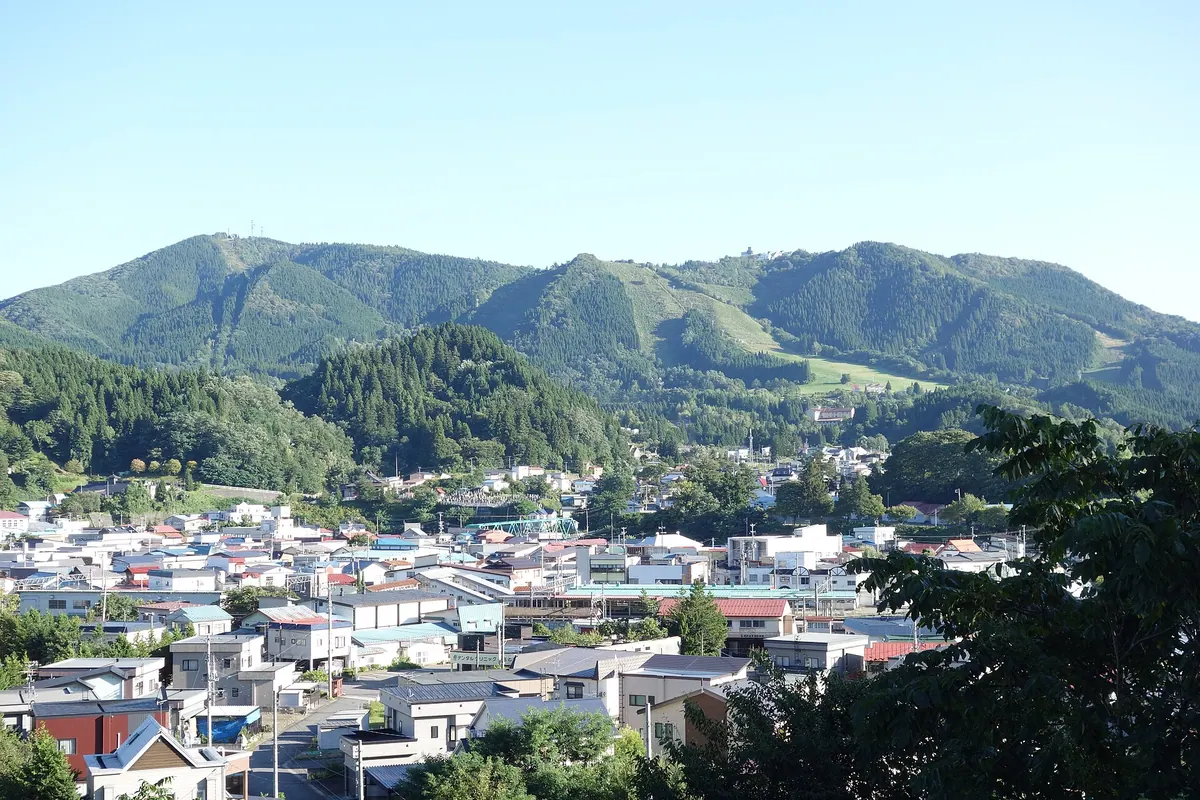
A 709-meter peak in Aomori featuring a historic ski resort, religious monuments, and hiking trails with views of the surrounding caldera.
What it is
- A 709.2 meter mountain located between Owani Town and Hirakawa City.
- The central cone of the Ikarigaseki Caldera made of dacite and andesite rocks.
- A historic site where the first ski techniques in Aomori were introduced.
- The mountain name is derived from the Sanskrit name for the deity Fudo Myoo.
What to see
- The Owani Ski Resort built directly onto the mountain slopes.
- Religious facilities including Ajara Daigongen located at the peak.
- Radio relay stations and various monuments situated at the summit.
- A plateau near the summit occupied by a hotel and golf course.
Getting there
- A hiking trail connects JR Nagamine Station directly to the summit.
15
Mount Herai
AOMORI · PLACE 戸来岳
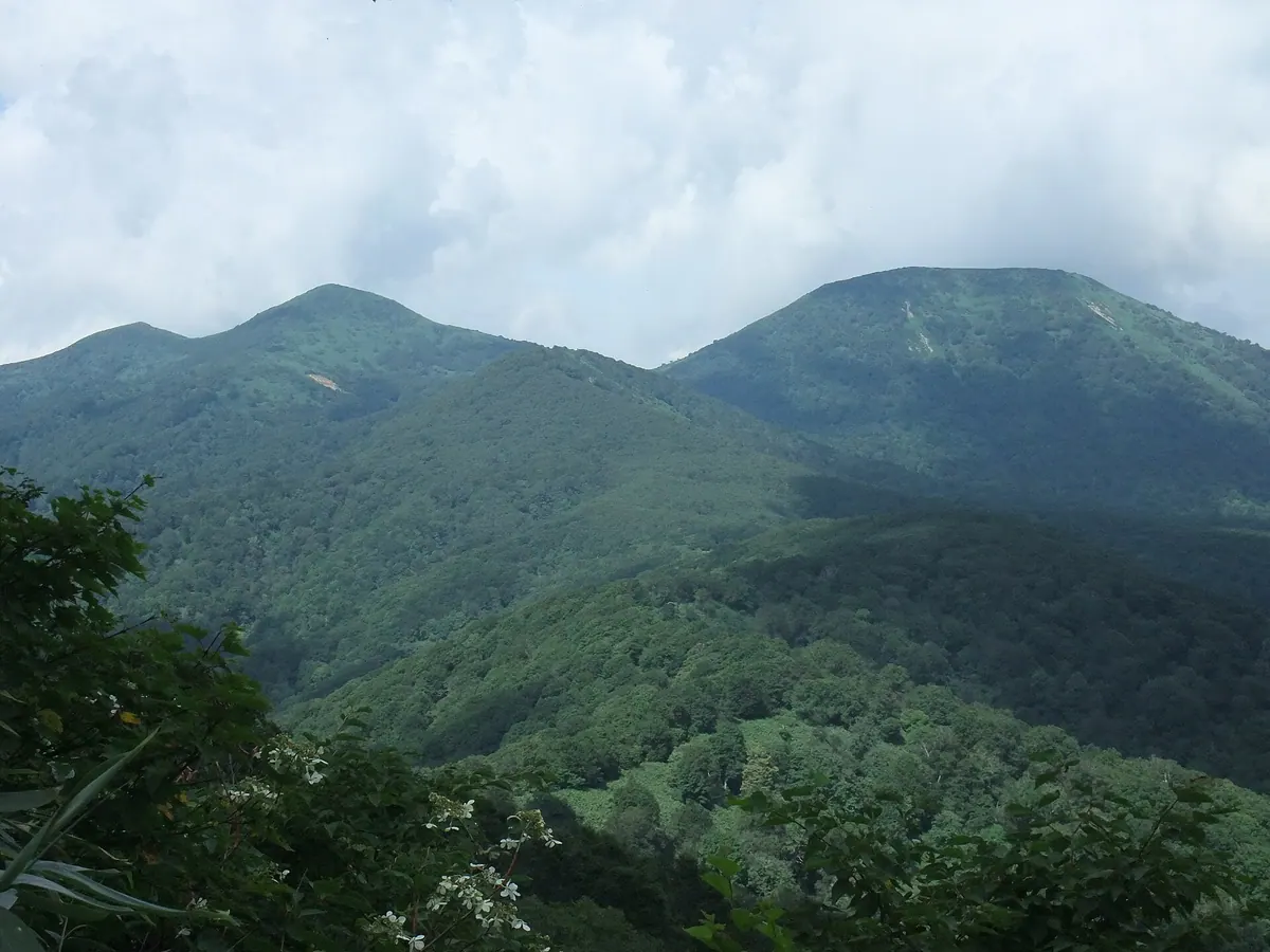
A protected peak in the 100 Famous Mountains of Tohoku featuring rare yew forests and ancient birch trees for hikers.
What it is
- A mountain on the border of Shingo and Towada known locally as Dake.
- One of the 100 Famous Mountains of Tohoku with three distinct peaks.
- The highest peak Mitsudake reaches an elevation of 1159 meters.
- The summit area is protected under Aomori Prefecture environmental regulations.
What to see
- Rare dwarf Japanese yew forests growing near the mountain peaks.
- A 300-year-old Erman's birch tree located along the Okoma-gatake trail.
- A religious stone tower in Towada dating back to May 1803.
- A first-class triangulation point situated at the Mitsudake summit.
Getting there
- Climbing routes for the mountain start from the Usagidaira parking lot.
16
Eboshi-dake
AOMORI · PLACE 烏帽子岳
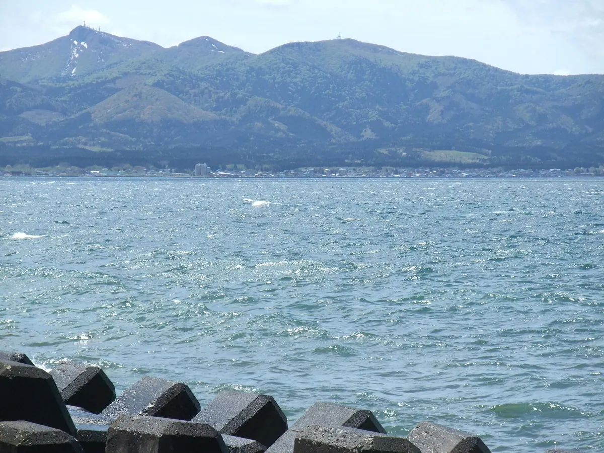
A 719-meter mountain in Aomori featuring modern broadcasting towers and the historical site of the Edo-period Hiyama Incident.
What it is
- A mountain standing 719.7 meters tall in the Kamikita region of Aomori.
- The historical site of the Hiyama Incident which occurred during the Edo period.
- A hub for television and FM radio relay stations serving surrounding towns.
- A peak situated on the borders of Hiranai, Noheji, and Tohoku towns.
What to see
- Digital television and FM radio relay stations located at the summit.
- Broadcasting facilities shared by NHK, FM Aomori, and Aomori Television.
- Views extending toward Noheji, Yokohama, and parts of Sotogahama town.
Getting there
- Vehicle access to the mountain is available only via the Noheji town road.
17
Mount Omine
AOMORI · PLACE 大峰岳
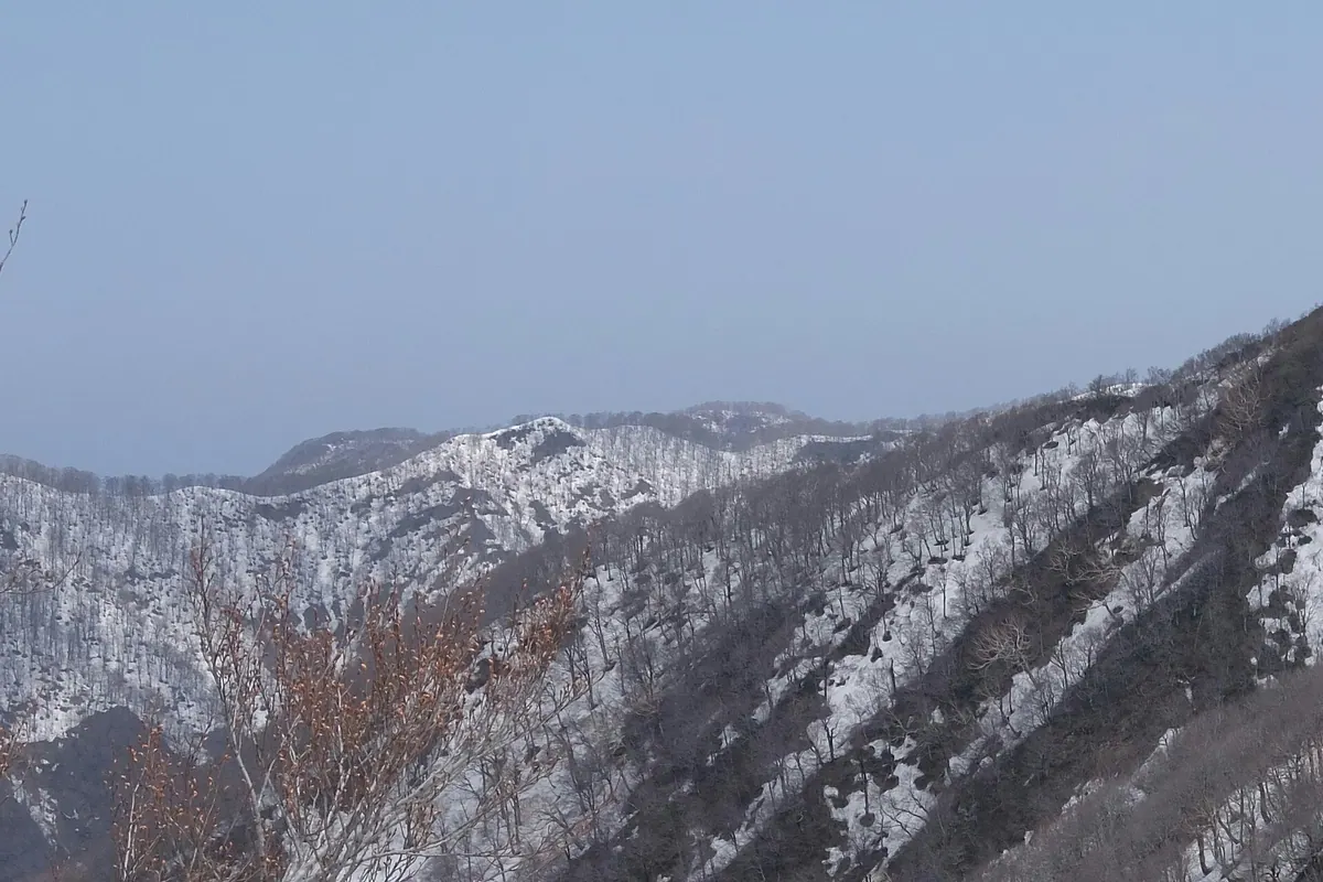
A 1020-meter peak in Aomori's Shirakami Sanchi range offering a challenging climb through a World Heritage buffer zone.
What it is
- A mountain peak located within the Shirakami Sanchi range in Fukaura Town.
- The eastern area of the mountain serves as a World Heritage buffer zone.
- The site was documented by travel writer Sugae Masumi in 1796.
- A summit marker stands at an elevation of 1020 meters.
What to see
- A summit marker located at the 1020-meter peak.
- Views of Komine Peak situated to the west of the mountain.
- A steep rope section located on the southern slope.
- A long mountain ridge extending across the northern side.
Getting there
- Access the peak via the Juniko climbing route of Mount Shirakami.
18
Fukkoshi-eboshi
AOMORI · PLACE 吹越烏帽子
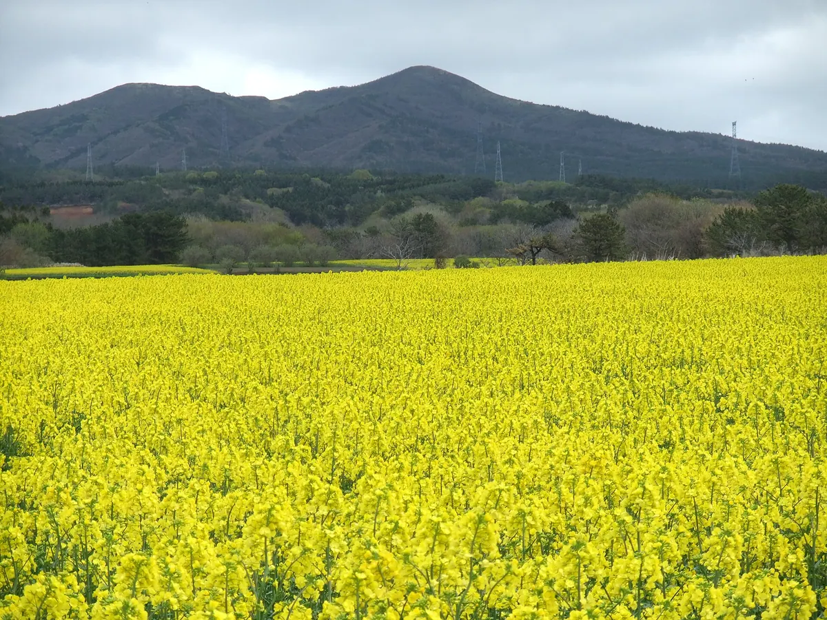
A 507-meter mountain on the Shimokita Peninsula offering panoramic views of Mutsu Bay and the Pacific Ocean from its summit.
What it is
- A mountain on the Shimokita Peninsula with an elevation of 507.8 meters.
- A hiking destination featuring a 2.5 kilometer trail to the peak.
- The ascent to the summit takes approximately 140 minutes to complete.
- The peak is located within Aomori Prefecture.
What to see
- A 360-degree view overlooking Mutsu Bay and the Pacific Ocean.
- A colony of mountain azaleas growing on the slopes.
- A small wooden shrine located at the mountain peak.
- Visible nuclear fuel cycle and wind power generation facilities from the top.
- A first-class triangulation point situated at the summit.
19
Towada mountain
AOMORI · PLACE 十和田火山
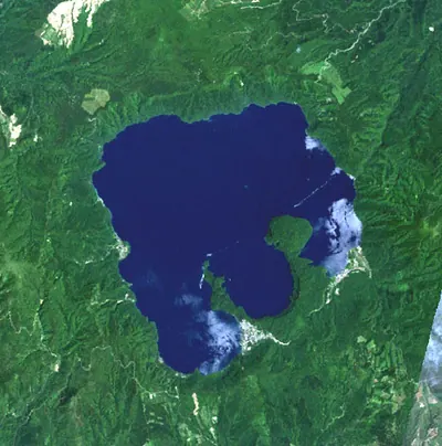
An active volcano on the Aomori-Akita border featuring a massive caldera lake formed by Japan's largest eruption in two millennia.
What it is
- An active volcano situated on the border of Aomori and Akita prefectures.
- The site of a major eruption in 915, the largest in Japan's last 2000 years.
- A geological formation that began its volcanic activity approximately 220,000 years ago.
- A monitored site featuring a caldera lake and the younger Goshikiiwa volcano inside.
What to see
- Lake Towada, a large caldera lake located at the volcano's summit.
- The Goshikiiwa volcano, which formed inside the main caldera 10,000 years ago.
- Traces of the 915 eruption that once covered the entire Tohoku region in ash.
20
Mount Bonju
AOMORI · PLACE 梵珠山
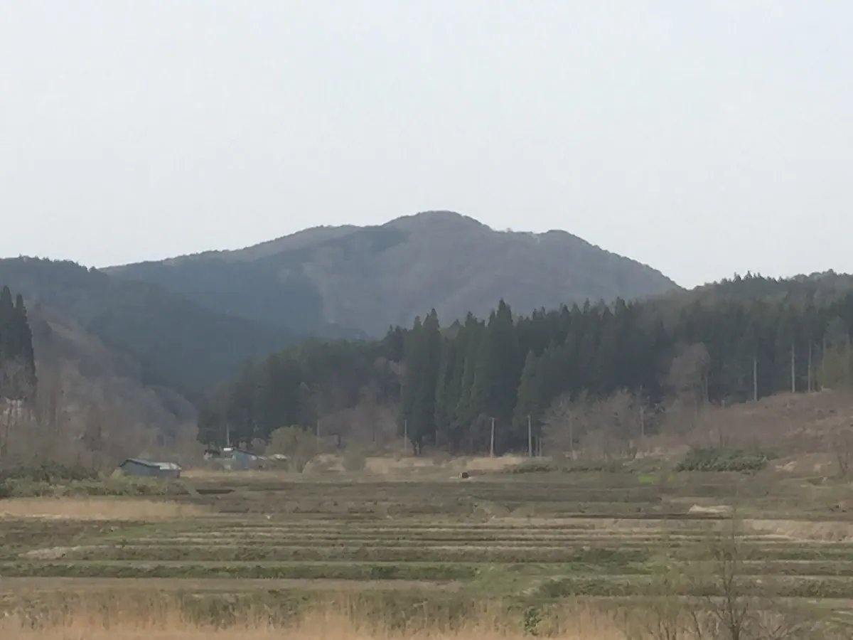
A 468-meter mountain and prefectural forest named by the monk Dosho after the Monju Bodhisattva for nature recreation.
What it is
- A mountain with an elevation of 468 meters spanning Aomori and Goshogawara cities.
- Designated as a Prefectural Forest and natural recreation forest in October 1968.
- Named by the Buddhist monk Dosho after the Monju Bodhisattva.
- Home to the Aomori Prefectural Bonju Youth Nature House.
What to see
- A natural recreation forest situated south of Mount Umanokami.
- The Sannai-Maruyama Site located ten kilometers east of the mountain.