Mount Rengyō
連行峰
A 1,016-meter peak in the Okutama range offering a scenic ridge hike within the Jinba Sagamiko Prefectural Natural Park.
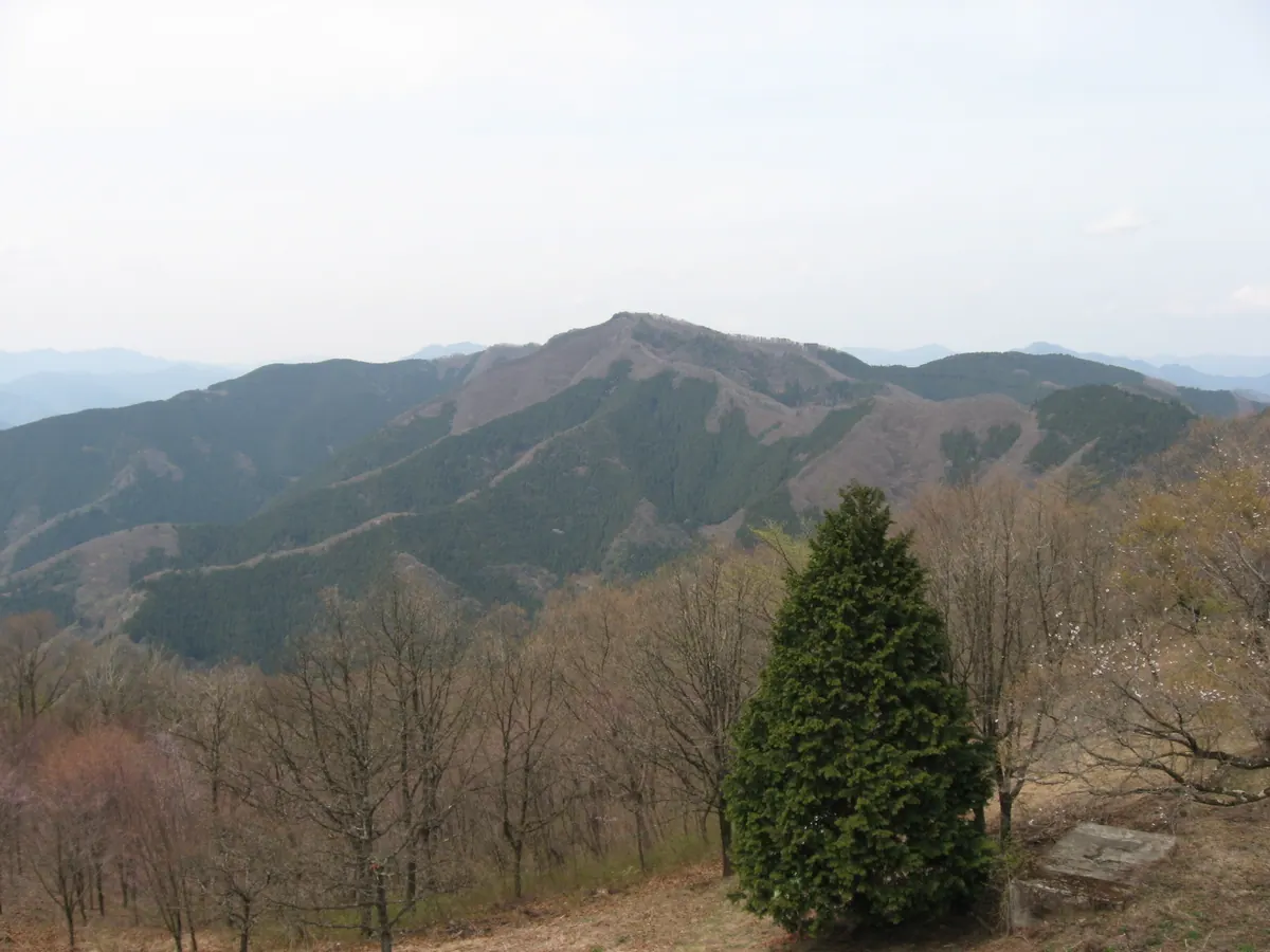
What it is
- A 1,016-meter mountain peak located on the border of Hinohara Village and Sagamihara City.
- Part of the Okutama mountain range and the Jinba Sagamiko Prefectural Natural Park.
- Recognized as one of the Tama 100 Mountains for hikers.
- A summit situated along the Sasao-one Ridge trail east of Mount Shoto.
What to see
- Trail signs marking the summit as both Mount Rengyo and Mount Rengyosan.
- Natural forest scenery along the Sasao-one Ridge hiking path.
- Mountain views from the peak within the prefectural natural park.
Getting there
- Take a bus from JR Fujino Station to the Wada bus stop.
- The ascent from the Wada bus stop takes two hours and five minutes.
- It is a 40-minute walk from the neighboring Mount Shoto.
- The peak is accessible via a 70-minute walk from Daigomaru.
Notes written by Japan Gems from facts in Japanese Wikipedia.
Where it is
Mount Rengyō Open in Google Maps
この施設の関係者の方へ
このページは公開情報をもとに Japan Gems が作成し、訪日外国人向けに英語で掲載しています。 写真や情報の追加・修正を承っています。お店の写真に差し替えることもできます。
このページの情報を更新する