Mount Shinnyū
深入山
A 1,152-meter peak in Nishi-Chugoku Sanchi Quasi-National Park offering panoramic views and three distinct hiking trails for outdoor enthusiasts.
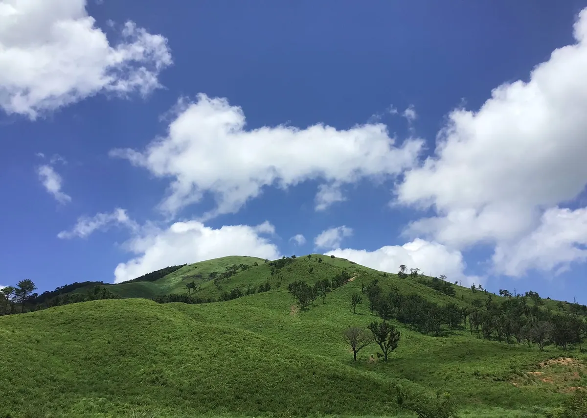
What it is
- A mountain peak standing 1,152.5 meters tall in Akiota Town.
- Part of the Nishi-Chugoku Sanchi Quasi-National Park landscape.
- Historically utilized as a grazing pasture for local livestock.
- A recreational area featuring a campground, tennis courts, and a ski resort.
What to see
- Panoramic views of Mount Garyu and Lake Hijiri from the summit.
- The Kuraza Highlands located at the base of the mountain.
- Sandankyo Gorge situated at the southern foot of the peak.
- Three main hiking routes starting from southern, western, and eastern trailheads.
When to go
- April for the annual controlled burning of the mountain grasslands.
Getting there
- Accessible via the Togouchi Interchange on the Chugoku Expressway.
- Ten minute walk from the Ikoinomura-iriguchi bus stop to the trailhead.
Notes written by Japan Gems from facts in Japanese Wikipedia.
Where it is
Mount Shinnyū Open in Google Maps
この施設の関係者の方へ
このページは公開情報をもとに Japan Gems が作成し、訪日外国人向けに英語で掲載しています。 写真や情報の追加・修正を承っています。お店の写真に差し替えることもできます。
このページの情報を更新する