

20 Mountains in Hiroshima worth your time
Japan Gems
22 Mountains in Hiroshima, with what to see and how to get there.
Hiroshima has 22 mountains on Japan Gems. Below are the 20 we can tell you the most about — each one written up in English from Japanese sources, with what to see and how to get there. See all mountains in Hiroshima.
01
Mount Osorakan
HIROSHIMA · PLACE 恐羅漢山
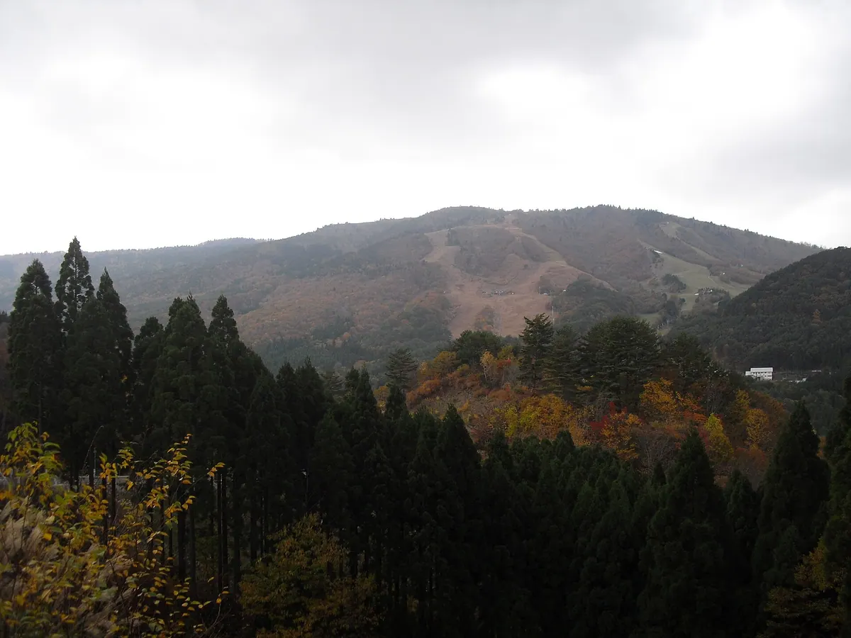
The highest peak in Hiroshima and Shimane prefectures, offering year-round outdoor activities within a scenic quasi-national park.
What it is
- The highest mountain peak in both Hiroshima and Shimane prefectures at 1,346 meters.
- Part of the Nishi-Chugoku Sanchi Quasi-National Park bordering Akiota and Masuda.
- A twin peak formation shared with the neighboring Mount Kyurakan.
- A natural landmark featuring a third-class triangulation point at the summit.
What to see
- Steep valleys containing the scenic Sandankyo Gorge in the surrounding area.
- The Osorakan Snow Park located on the eastern slope of the mountain.
- A dedicated campground situated at Ushigoya Kogen for summer visitors.
- Views from the highest elevation point in the Chugoku region.
When to go
- Winter for skiing and snowboarding when snowfall can exceed three meters.
- Summer months to utilize the campground facilities at Ushigoya Kogen.
Getting there
- Direct ski buses operate from Hiroshima City during the winter season.
- Accessible by car via the Togouchi Interchange on the Chugoku Expressway.
02
Mount Shinnyū
HIROSHIMA · PLACE 深入山
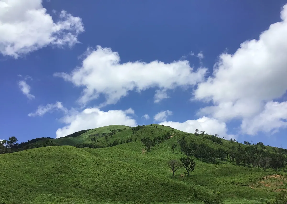
A 1,152-meter peak in Nishi-Chugoku Sanchi Quasi-National Park offering panoramic views and three distinct hiking trails for outdoor enthusiasts.
What it is
- A mountain peak standing 1,152.5 meters tall in Akiota Town.
- Part of the Nishi-Chugoku Sanchi Quasi-National Park landscape.
- Historically utilized as a grazing pasture for local livestock.
- A recreational area featuring a campground, tennis courts, and a ski resort.
What to see
- Panoramic views of Mount Garyu and Lake Hijiri from the summit.
- The Kuraza Highlands located at the base of the mountain.
- Sandankyo Gorge situated at the southern foot of the peak.
- Three main hiking routes starting from southern, western, and eastern trailheads.
When to go
- April for the annual controlled burning of the mountain grasslands.
Getting there
- Accessible via the Togouchi Interchange on the Chugoku Expressway.
- Ten minute walk from the Ikoinomura-iriguchi bus stop to the trailhead.
03
Mount Sōko
HIROSHIMA · PLACE 宗箇山

A 356-meter peak offering panoramic city views, historic temple grounds, and a pine tree planted by a famous tea master.
What it is
- A 356-meter mountain in Hiroshima City commonly known as Mount Mitaki.
- The site of a pine tree originally planted by tea master Ueda Soko.
- A former army relief base used during the events of 1945.
- Home to the Hiroshima City Mitaki Nature House for Youth.
What to see
- The fourth generation Soko Pine tree standing at the summit.
- Mitaki-dera Temple located conveniently at the mountain trailhead.
- A panoramic view of Hiroshima City from the peak.
- Seasonal displays of cherry blossoms and colorful autumn leaves.
When to go
- Visit on New Year's Day to join crowds for the first sunrise.
- Spring and autumn offer the best scenery for cherry blossoms and foliage.
Getting there
- The mountain is accessible via a short walk from JR Mitaki Station.
04
Mount Hiji
HIROSHIMA · PLACE 比治山
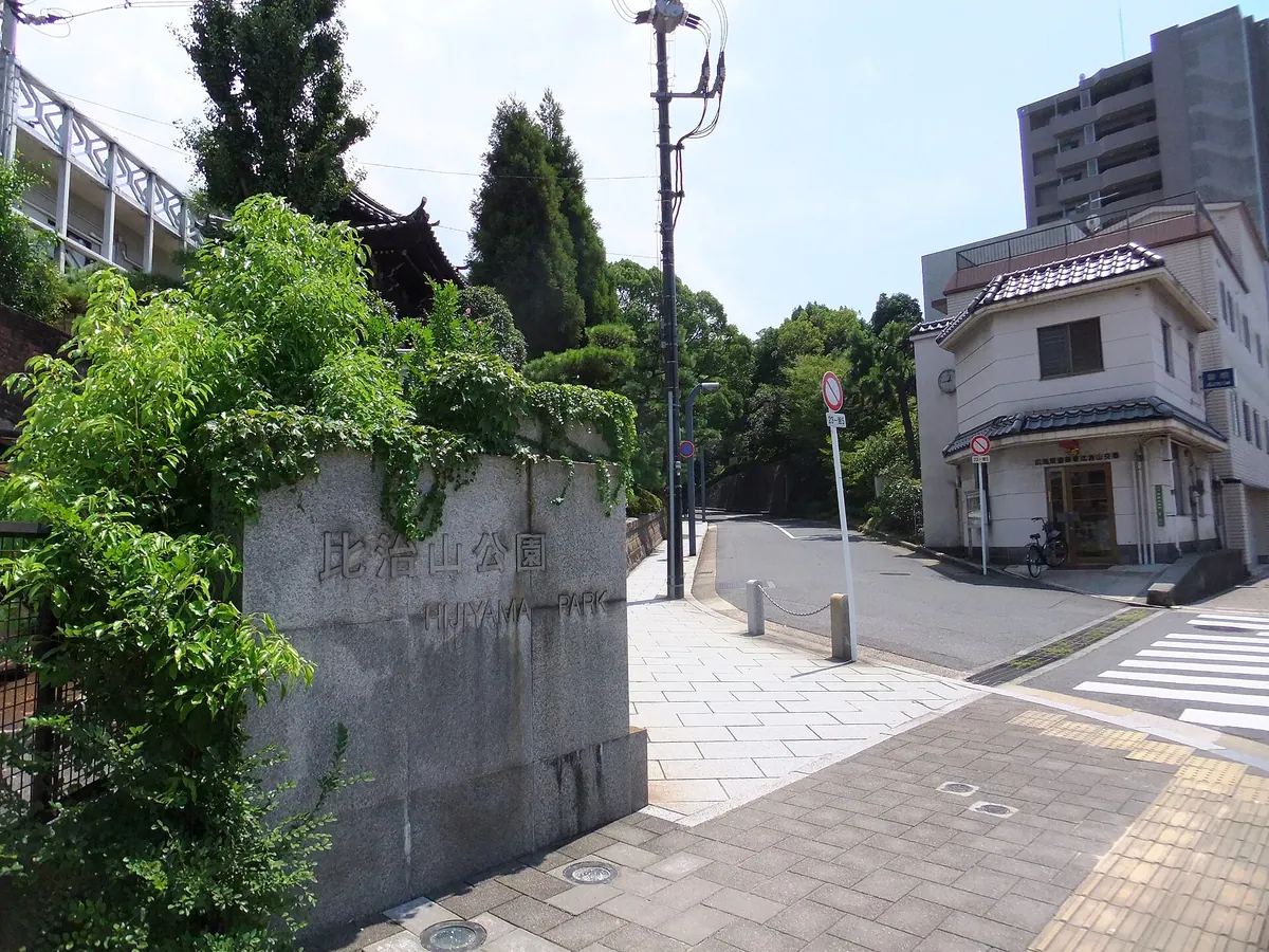
A 71.1-meter hill in Hiroshima featuring a public park, modern art museum, and a major cherry blossom viewing area.
What it is
- A 71.1-meter hill located between the Enko and Kyobashi rivers in Hiroshima City.
- A public park opened in 1898 on former forest land owned by the Hiroshima Domain.
- Site of a military cemetery established by the Japanese Army in 1872.
- Location of the Radiation Effects Research Foundation which opened in 1949.
What to see
- Extensive cherry blossom trees throughout the park grounds during the spring season.
- The Hiroshima City Museum of Contemporary Art located within the park.
- The Hiroshima City Manga Library situated on the hill.
- The Hijiyama Skywalk which provides pedestrian access from the east side.
Getting there
- Take the Hiroden Minami Line to the Hijiyama-shita tram stop.
- Use the Hijiyama Skywalk for pedestrian access from Hiroshima East.
05
Mount Futaba
HIROSHIMA · PLACE 二葉山
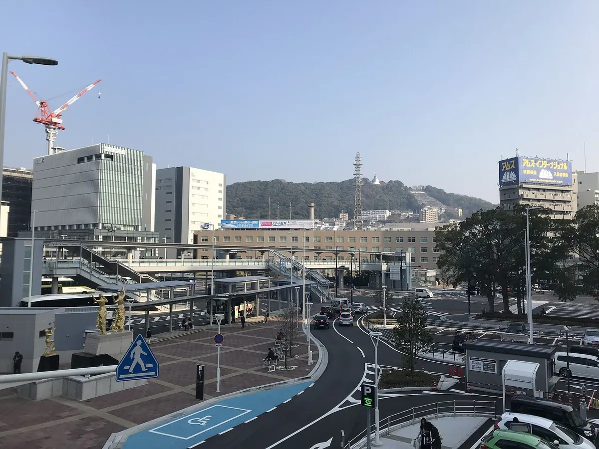
A 139-meter granite peak featuring a Peace Pagoda and panoramic views of Hiroshima and the Seto Inland Sea.
What it is
- A 139-meter granite mountain covered in evergreen forests north of the city center.
- Site of former army facilities and anti-aircraft batteries used until 1945.
- Home to a significant Lithocarpus glaber forest community and a 1966 Peace Pagoda.
- Historically served as borrowed scenery for the nearby Shukkeien Garden.
What to see
- A silver Peace Pagoda standing at the summit of the mountain.
- Summit plaza offering views of the city and the Seto Inland Sea.
- Dense evergreen forests and granite rock formations along the trails.
- Nearby religious sites including Hiroshima Toshogu and Nigitsu Shrine.
Getting there
- The summit is a 22-minute walk from JR Hiroshima Station.
- Located directly north of the main JR Hiroshima Station transit hub.
06
Mount Takeda
HIROSHIMA · PLACE 武田山
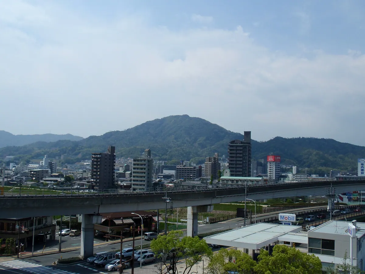
A historic 410-meter peak featuring medieval castle ruins and panoramic views of the Seto Inland Sea near Hiroshima City.
What it is
- A 410.5-meter mountain that served as the political center of Aki Province.
- The former base of the Aki Takeda clan featuring Kanayama Castle ruins.
- A natural area with hiking trails designated as Chugoku Nature Trails.
- A community-maintained site supported by the Project Takedayama initiative since 2003.
What to see
- Remains of Kanayama Castle located at the mountain summit.
- Expansive views overlooking the Seto Inland Sea from the peak.
- Well-maintained climbing routes and nature trails through the forest.
- The northeast section where the Sanyo Expressway Takeda Mountain Tunnel passes.
Getting there
- One trailhead is a ten-minute walk from Omachi Station.
- A secondary trailhead is located at the Hiroshima University of Economics.
07
Mount Yahazu
HIROSHIMA · PLACE 矢筈山
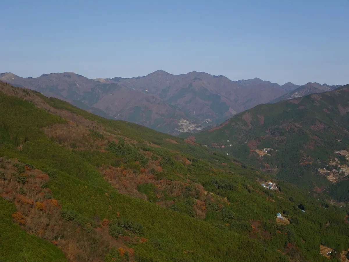
The highest peak in the Iya Mountain Range offering panoramic views and unique rock formations for hikers in Tokushima.
What it is
- The highest peak in the Iya Mountain Range standing at 1848.7 meters.
- One of the 100 Famous Mountains of Shikoku located on the border of Miyoshi and Tsurugi.
- A protected scenic forest designated by the Forestry Agency consisting primarily of crystalline schist.
- The fifth highest peak in Tokushima Prefecture featuring a second-class triangulation point.
What to see
- A ten meter high rock formation called Yahazuiwa located at the summit.
- Natural forests of fir and beech trees remaining on the upper slopes.
- A summit area covered in bamboo grass providing unobstructed views.
- The surrounding peaks of the Iya Mountain Range from the highest vantage point.
Getting there
- The main climbing route to the summit starts from Ochiai Pass.
08
Mount Kanmuri
HIROSHIMA · PLACE 冠山

The second highest peak in Hiroshima Prefecture, offering scenic climbing routes and the headwaters of the Ota River.
What it is
- A mountain standing 1338.98 meters tall in Hatsukaichi City, Hiroshima Prefecture.
- The second highest peak in the prefecture and source of the Ota River.
- Part of the Nishi-Chugoku Sanchi Quasi-National Park and a designated natural monument.
- An area recognized as one of the Top 100 Water Sources.
What to see
- A first-class triangulation point located at the mountain summit.
- The Ota River headwaters monument situated south of the summit.
- The forest limit line occurring at an altitude of 1200 meters.
- The Kanmuri Plateau, which is a designated prefectural natural monument.
Getting there
- The Ushiodani climbing course begins from Shiobara Onsen.
- The Matsunoki climbing course starts from the former Kanmuri Kogen Ski Resort.
09
Mount Abu
HIROSHIMA · PLACE 阿武山
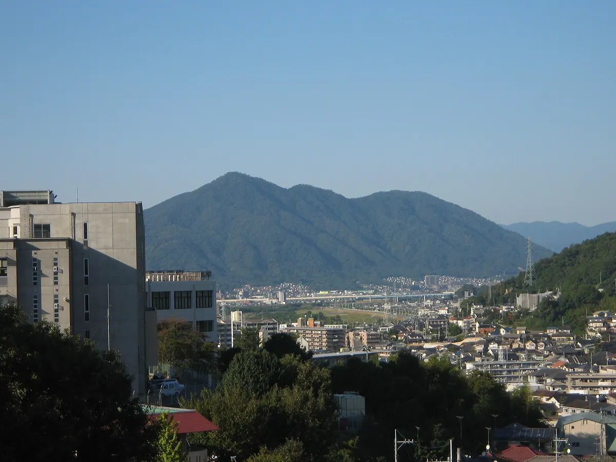
A granite peak in Hiroshima featuring ancient burial mounds, a summit shrine, and hiking trails with significant local history.
What it is
- A granite mountain located in the Asakita and Asaminami wards of Hiroshima City.
- Designated as the Genbu guardian mountain for Hiroshima Castle by Mori Terumoto.
- Site of a legendary 1532 battle where Kagawa Katsuo killed a giant snake.
- A landscape shaped by hard Jurassic rock layers and the nearby Ota River.
What to see
- Kifune Shrine located near the summit of the mountain.
- Numerous ancient burial mounds and historical ruins scattered across the site.
- Established hiking trails that lead visitors through the mountain terrain.
- Visible remnants of the significant debris flows and landslides from August 2014.
When to go
- Daytime is best for navigating the established hiking trails safely.
10
Mount Hiba
HIROSHIMA · PLACE 比婆山
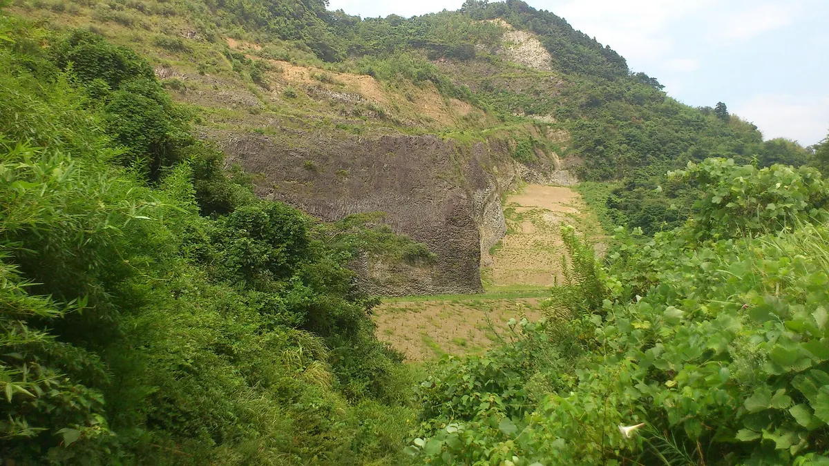
A sacred mountain and burial site of the deity Izanami, featuring ancient shrines, rare bamboo, and unique geological formations.
What it is
- Legendary burial site of the deity Izanami located on the Hiroshima and Shimane border.
- Part of the Hiba-Dogo-Taishaku Quasi-National Park with peaks reaching 1,264 meters.
- Site of a 1970 cryptid sighting known as the Hibagon.
- Home to a rare basalt lava lake formed over one million years ago.
What to see
- A moss-covered megalith serving as the mausoleum of Izanami on the Hiroshima peak.
- Kumano Shrine situated at the southwestern foot of the Hiroshima mountain.
- Hibayama Kume Shrine located on the summit of the Shimane peak.
- In-yo-take bamboo, a designated natural monument unique to the mountain summit.
Getting there
- Accessible via a thirty-minute taxi ride from Bingo-Ochiai Station.
11
Mount Misen
HIROSHIMA · PLACE 弥山

A sacred 535-meter peak founded by Kukai in 806, offering ancient spiritual sites and panoramic views of the Seto Inland Sea.
What it is
- A 535-meter mountain founded by the monk Kukai in the year 806
- Part of the Setonaikai National Park with foothills designated as a UNESCO World Heritage site
- Home to the Misen Primeval Forest, which is a national natural monument
- A spiritual site where ritual artifacts from the Kofun period were discovered
What to see
- The Eternal Flame which has reportedly burned for approximately 1,200 years
- A three-story observatory located at the summit for panoramic views
- A group of massive natural megaliths known as the Iwakura
- Seven distinct hiking routes that lead visitors to the mountain top
Getting there
- The Miyajima Ropeway provides transportation to Shishiiwa Station near the summit
12
Mount Marusasa
HIROSHIMA · PLACE 丸笹山
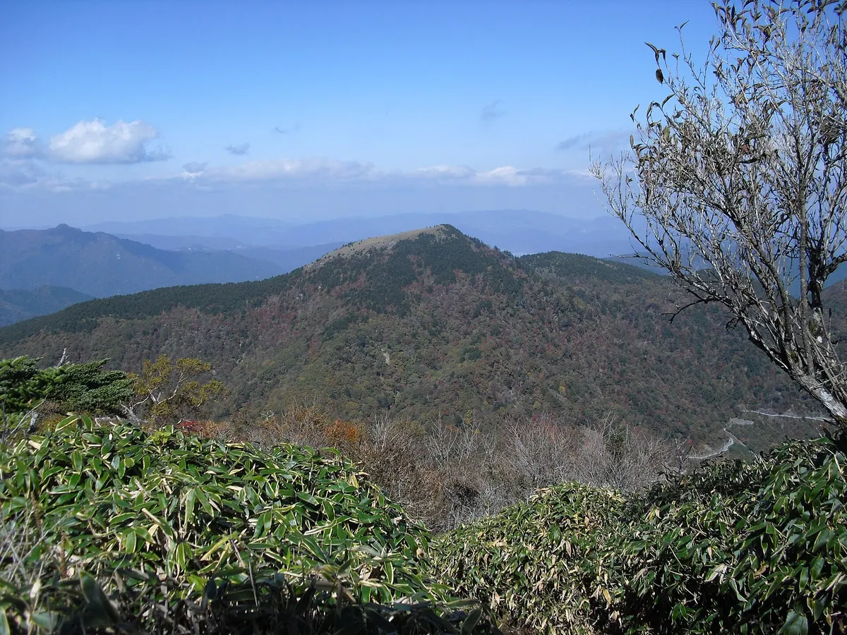
A 1712-meter peak in Tokushima offering panoramic views of the Shikoku Mountains and unique bamboo grass landscapes.
What it is
- A 1712-meter mountain located within the Tsurugi-san Quasi-National Park.
- One of the 100 Famous Mountains of Shikoku and a famous floral mountain.
- A dome-shaped peak characterized by its extensive cover of bamboo grass.
- The summit features a third-class triangulation point for geographic measurement.
What to see
- Panoramic views of Mount Tsurugi and Mount Miune from the summit.
- Meotoike Pond located near the eighth station of the mountain.
- The La Foret Tsurugisan lodging facility situated near the pond.
- Geological formations including Mikabu greenstones and Jurassic accretionary complexes.
Getting there
- The main climbing route begins at the Meotoike trailhead.
13
Mount Azuma
HIROSHIMA · PLACE 吾妻山
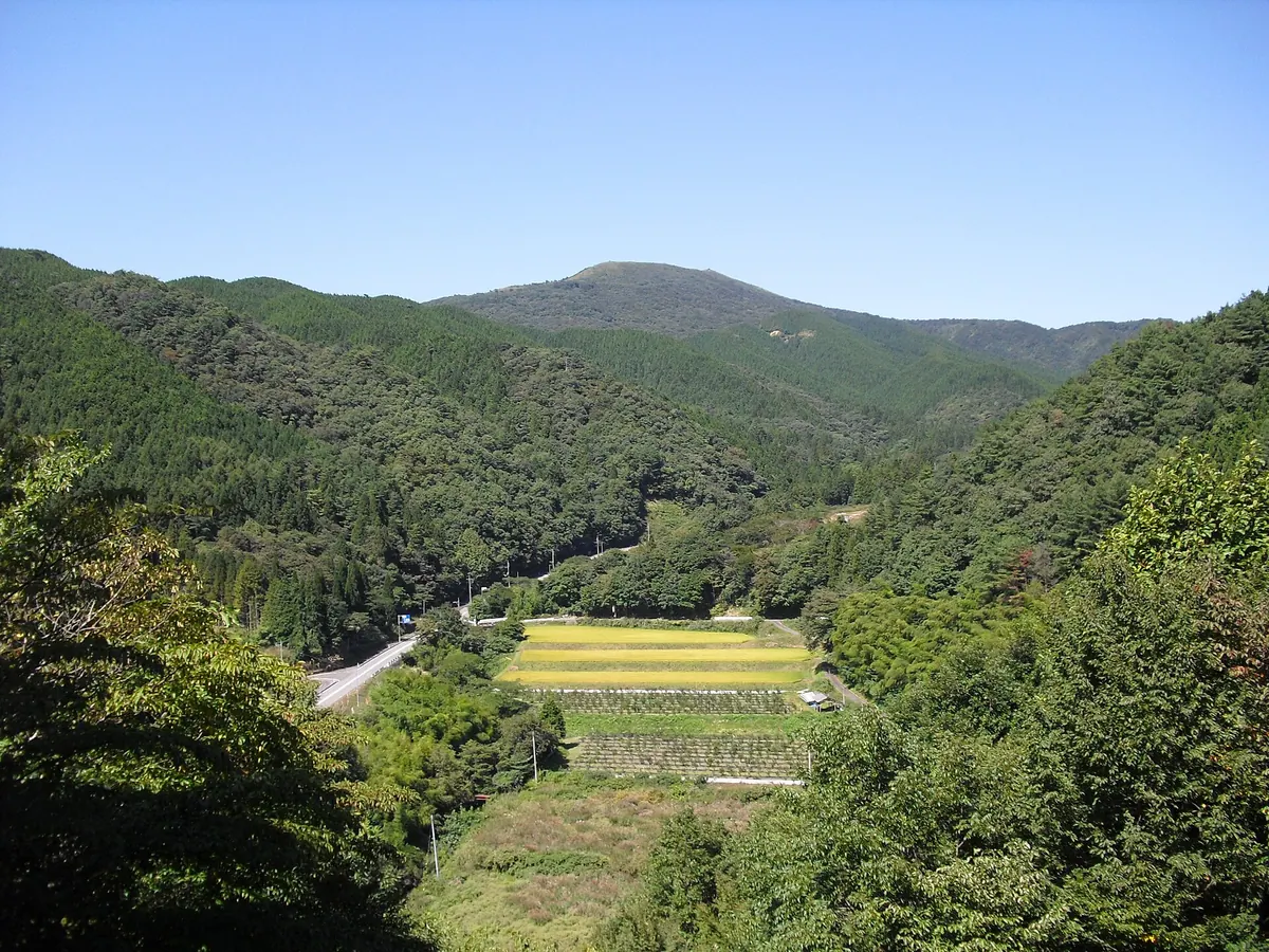
A 1,239-meter peak in a quasi-national park offering hiking trails that connect to neighboring mountains and views across two prefectures.
What it is
- A 1,239-meter mountain bordering Hiroshima and Shimane prefectures.
- Part of the Hiba-Dogo-Taishaku Quasi-National Park.
- Named after the deity Izanagi-no-Mikoto.
- Featured on official Geographical Survey Institute maps.
What to see
- A hiking trail connecting the peak to Mount Hiba and Mount Eboshi.
- The site of the former Azuma-yama Lodge which closed in 2020.
- Ten cottages near the summit scheduled for demolition by November 2024.
Getting there
- A seventy-minute round trip hike starting from the lodge site.
- Buses run from Shobara Bus Center to the Moriwaki stop.
- A fifty-minute drive covering forty kilometers from the Shobara Interchange.
14
Mount Aokage
HIROSHIMA · PLACE 青影山
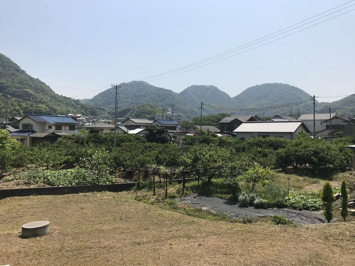
A historic mountain peak on Innoshima Island featuring medieval castle ruins and panoramic views of the Shimanami Kaido bridges.
What it is
- A mountain peak standing 275.7 meters high on Innoshima Island in Onomichi City.
- The former site of Aokage Castle which stood on the summit from 1331 to 1596.
- A designated Hiroshima Prefectural Historic Site that served as a base for the Murakami Suigun.
- A central point on a five kilometer hiking trail connecting Muraura to the mountain.
What to see
- Panoramic views of the Shimanami Kaido bridges from the mountain summit.
- Remaining ruins of the castle main enclosure and former residences.
- The surrounding landscape situated between Mount Furo and Mount Ryuo.
- Mount Okuyama which stands at an elevation of 391 meters along the trail.
15
Mount Ōzora
HIROSHIMA · PLACE 大空山
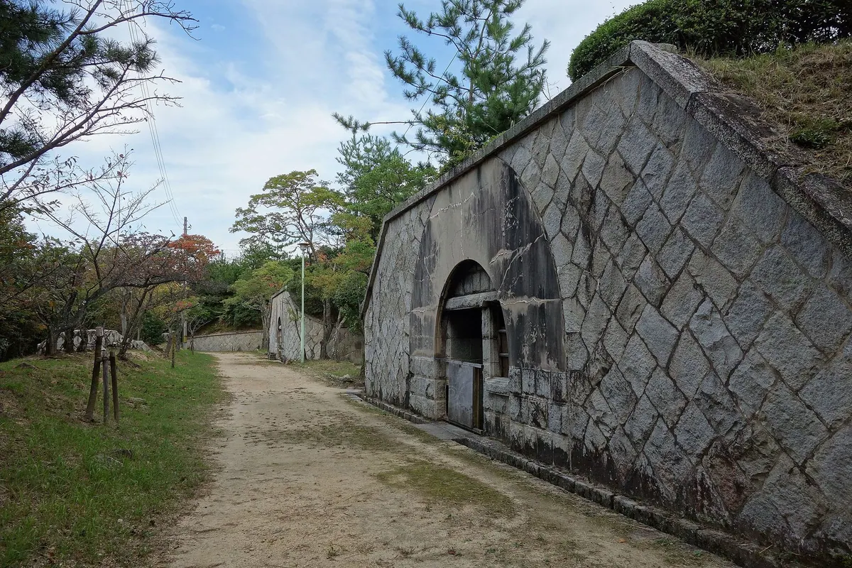
A 205-meter peak featuring historic military ruins and over one thousand cherry trees overlooking Kure City.
What it is
- A 205-meter mountain summit developed as a public park.
- Site of a former Imperial Army fortress established in 1903.
- Former anti-aircraft battery location used during World War II.
- A designated Japan Heritage cultural property site.
What to see
- Approximately 1,200 cherry trees planted throughout the park area.
- Remaining ruins of historical gun platforms and gunpowder magazines.
- Natural terrain primarily composed of Hiroshima granite.
- Panoramic views from the summit also known as Mount Hodai.
Getting there
- A 30-minute walk from the Hara bus stop.
- A 20-minute drive from the Kure Interchange.
16
Mount Kannomine
HIROSHIMA · PLACE 神峰山

The highest peak on Osakikamijima Island offering a 360-degree panoramic view of 115 islands within Setonaikai National Park.
What it is
- The highest peak on Osakikamijima Island reaching an elevation of 452.6 meters.
- A scenic mountain area protected as part of the Setonaikai National Park.
- A viewpoint providing a complete 360-degree perspective of the surrounding region.
What to see
- Three observation decks located at the summit for different viewing angles.
- A vast panorama encompassing 115 different islands in the inland sea.
- Clear views stretching from mainland Honshu across to the mountains of Shikoku.
- The Geiyo Islands scattered throughout the water below the peak.
- Facilities including a parking lot and public toilets for visitor convenience.
17
Mount Haigamine
HIROSHIMA · PLACE 灰ヶ峰
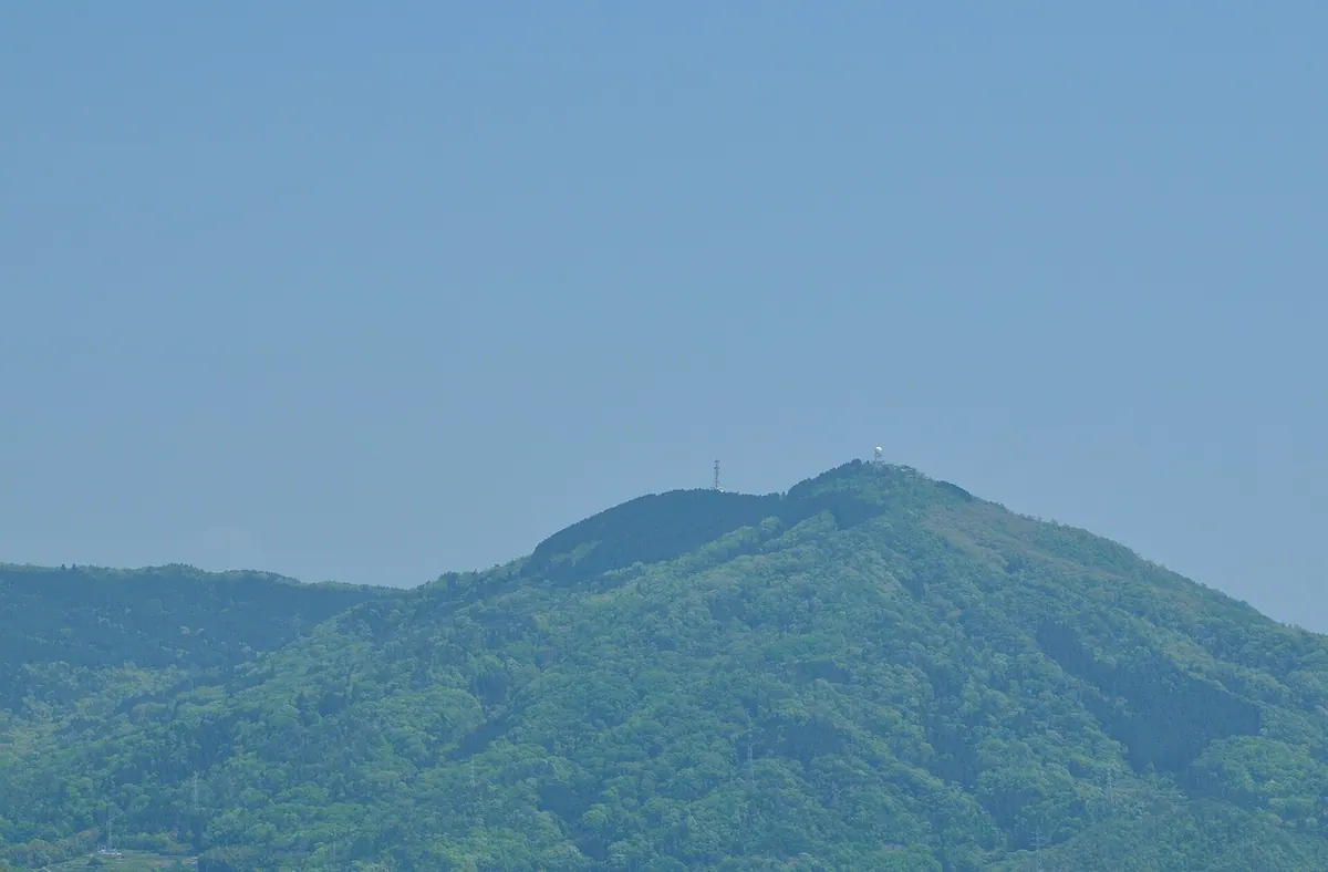
A 737-meter peak in Kure offering a top-rated night view and 360-degree panoramas of the Seto Inland Sea.
What it is
- An independent mountain peak in Kure City standing 737 meters high.
- A former naval anti-aircraft site used during World War II.
- A location featured in the manga series Kabachitare.
- One of the designated top 100 night view locations in Japan.
What to see
- A white dome-shaped weather radar station located at the summit.
- An observation deck built directly on a former gun battery base.
- A 360-degree view of the islands in the Seto Inland Sea.
- A small parking lot at the summit with space for six cars.
Getting there
- Buses run from JR Kure Station to the mountain trailhead.
18
Mount Zao
HIROSHIMA · PLACE 蔵王山 (広島県)

A 226-meter mountain in Fukuyama featuring walking trails, a public park, and several major broadcasting transmission facilities.
What it is
- A mountain standing 226 meters tall in Fukuyama City, Hiroshima Prefecture.
- A regional hub for FM radio and digital television broadcasting equipment.
- The site of the Zao Ikoi no Mori park on the southern slope.
- A relay station location established in 2010 to improve local signal reception.
What to see
- Maintained walking trails located on the southern side of the mountain.
- Broadcasting transmission facilities and towers used by various companies.
- The Zao Ikoi no Mori park area for outdoor recreation.
- Digital and analog relay equipment including the Fukuyama Minami FM station.
19
Mount Kyūrakan
HIROSHIMA · PLACE 旧羅漢山
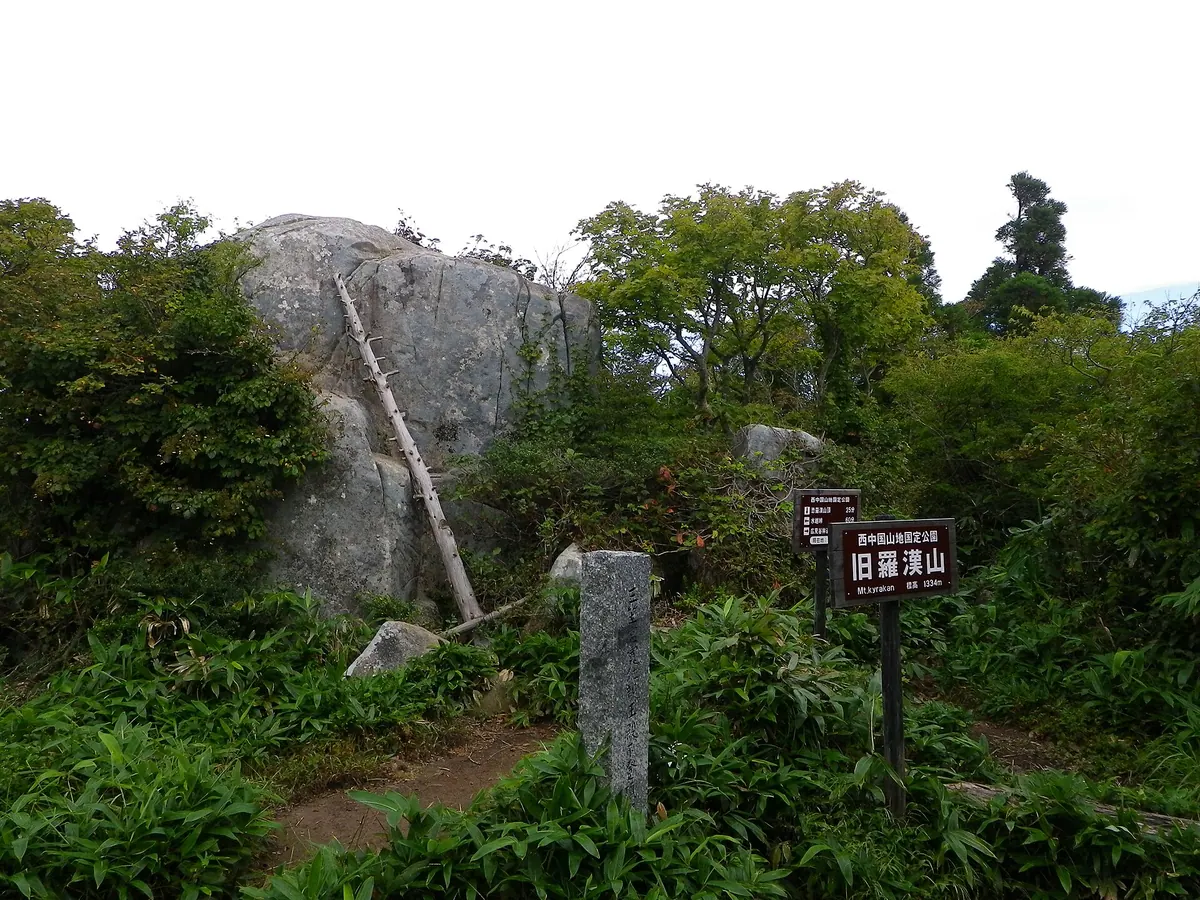
A 1,334-meter twin peak in a Quasi-National Park offering expansive views of the Sea of Japan from its rocky summit.
What it is
- A mountain standing 1,334 meters above sea level on the Hiroshima and Shimane border
- Part of the Nishi-Chugoku Sanchi Quasi-National Park
- A twin peak to Mount Osorakan also known as Hikimi Rakan
- A natural site featuring a ridge line extending from north to south
What to see
- Large rock formations standing at the mountain summit
- Views of the Sea of Japan from the western rocks
- Natural landscapes within the protected Quasi-National Park boundaries
Getting there
- Hikers typically access the peak by walking from Mount Osorakan
20
Jippō Zan
HIROSHIMA · PLACE 十方山

The third highest peak in Hiroshima, offering views of the Seto Inland Sea and a rare alpine grassland summit.
What it is
- A mountain standing 1318.9 meters tall in Hiroshima Prefecture.
- The third highest peak in the region, located near the border of Hatsukaichi and Akiota.
- A protected landscape forest managed by the Kinki-Chugoku Regional Forest Office.
What to see
- A grassland summit featuring various alpine plants above the 1200-meter forest limit.
- Panoramic views of the Seto Inland Sea from the mountain peak.
- Hosomidani Canyon to the west, containing a primary beech forest.
- Seto Falls, a two-stage waterfall measuring 63 meters at the eastern foot.