Mount Shiretoko
知床岳
A remote andesitic stratovolcano in Hokkaido offering a wild landscape for experienced hikers seeking a trail-free wilderness experience.
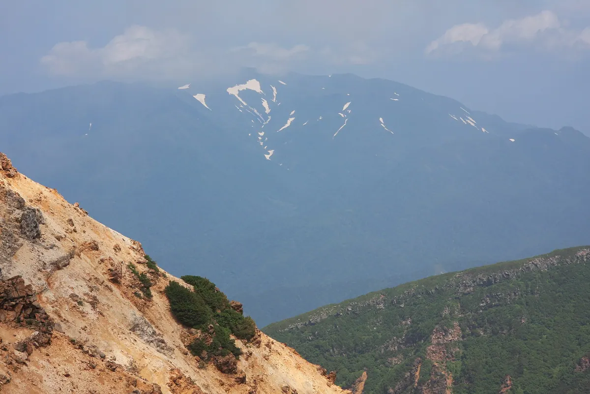
What it is
- An andesitic stratovolcano standing at 1254.2 meters on the Shiretoko Peninsula
- A Quaternary volcano formed by activity between 600,000 and 200,000 years ago
- A protected natural area located within Shari Town in Hokkaido
- A rugged peak featuring a large summit crater and undeveloped mineral deposits
What to see
- A low forest limit beginning between 500 and 800 meters
- Local wildlife including brown bears and Steller's sea eagles
- A designated camping area located near Lake Shiretoko
- Wild volcanic slopes without any maintained hiking trails
When to go
- Winter months provide access for those using ski mountaineering routes
Getting there
- The Ministry of the Environment recommends the approach route from Aidomari
Notes written by Japan Gems from facts in Japanese Wikipedia.
Where it is
Mount Shiretoko Open in Google Maps
この施設の関係者の方へ
このページは公開情報をもとに Japan Gems が作成し、訪日外国人向けに英語で掲載しています。 写真や情報の追加・修正を承っています。お店の写真に差し替えることもできます。
このページの情報を更新する