Mount Sōgadake
僧ヶ岳
A 1,855-meter peak in Toyama offering alpine meadows, beech forests, and historic snow patterns used by local rice farmers.
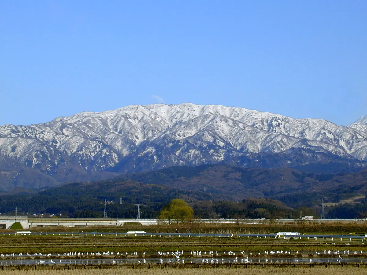
What it is
- A 1,855-meter mountain located at the northern end of the Tateyama Mountains.
- The source of the Fuse River spanning Uozu and Kurobe cities.
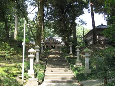
- A designated Prefectural Natural Park that serves as the inner shrine of Senko-ji Temple.
- A former site for molybdenum mining with building remains still present.
What to see
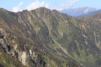
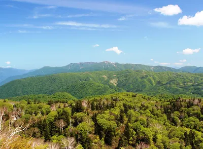
- Extensive beech forests and meadows filled with alpine flowers.
- A statue of Daiitoku Myoo enshrined at the Hotokedaira area.
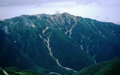
- Snow patterns on the slopes that resemble a monk or a horse.
- The Higashimata climbing course which is the primary route from Uozu City.
When to go
- Springtime to witness the traditional snow patterns during the mountain thaw.
Notes written by Japan Gems from facts in Japanese Wikipedia.
Where it is
Mount Sōgadake Open in Google Maps
この施設の関係者の方へ
このページは公開情報をもとに Japan Gems が作成し、訪日外国人向けに英語で掲載しています。 写真や情報の追加・修正を承っています。お店の写真に差し替えることもできます。
このページの情報を更新する