Mount Tado
多度山
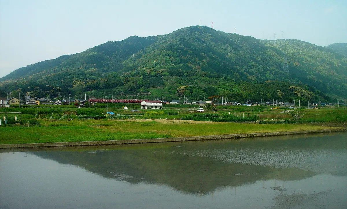
A 403-meter peak in a natural park offering panoramic views of Ise Bay and a historic shrine at its base.
What it is
- A 403-meter mountain spanning the border of Mie and Gifu Prefectures.
- Part of the Suigo Prefectural Natural Park at the southern Yoro Mountains.
- Home to Tado Taisha Shrine located at the southern foot of the mountain.
- A natural habitat for the nationally designated Inunashi plant species.
What to see
- Tado Sanjo Park and Takamine Shrine located at the mountain summit.
- Panoramic views of the Nobi Plain and Ise Bay from the peak.
- Mikan and persimmon orchards cultivated across the eastern slopes.
- A hang gliding launch site situated on the southeast side.
- Radio towers standing at the highest point of the mountain.
Getting there
- Tado Station is located 1.8 kilometers southeast of the mountain.
Notes written by Japan Gems from facts in Japanese Wikipedia.
Where it is
Mount Tado Open in Google Maps
この施設の関係者の方へ
このページは公開情報をもとに Japan Gems が作成し、訪日外国人向けに英語で掲載しています。 写真や情報の追加・修正を承っています。お店の写真に差し替えることもできます。
このページの情報を更新する