Mount Tarō
太郎山
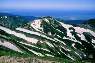
A 2,373-meter peak in Chubu Sangaku National Park offering a mountain hut and access to the Tateyama Range.
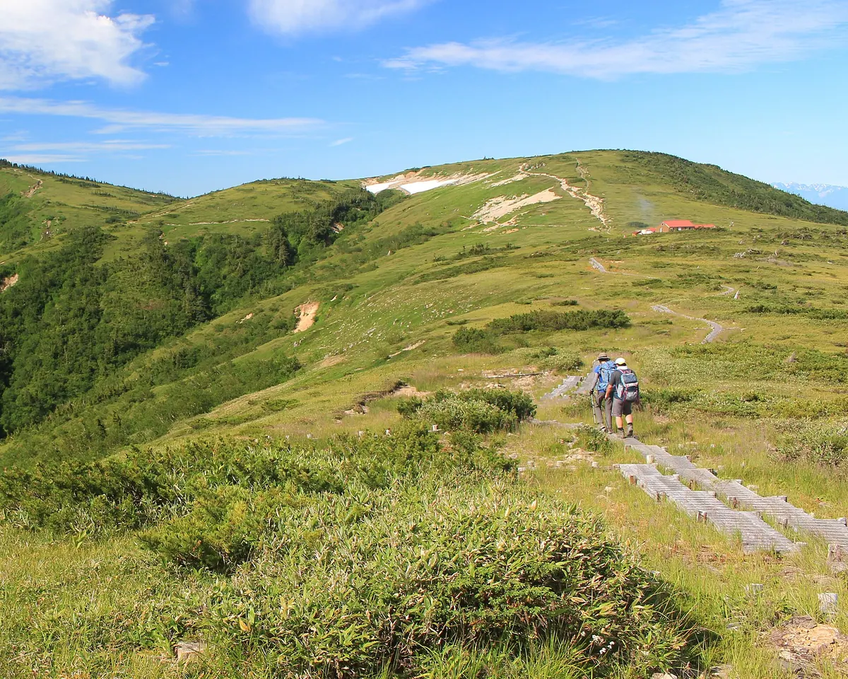
What it is
- A 2,373-meter mountain peak located within the Chubu Sangaku National Park.
- Part of the Tateyama Mountain Range in southeastern Toyama City.
- A natural watershed for the Joganji and Kurobe rivers.
- The mountain is composed of sandstone and conglomerate from the Tetori Group.
What to see
- A third-class triangulation point located at the summit.
- The Tarobeidaira erosion surface on the northern side of the mountain.
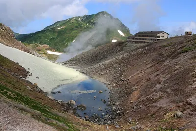
- The Taro-daira Hut situated 300 meters east-northeast of the summit.
- Views of the surrounding Tateyama Mountain Range from the peak.
When to go
- Visit during the climbing season when buses are operational.
Getting there
- Buses run from Toyama Station to the Oritate trailhead during climbing season.
- The Oritate trailhead serves as the major starting point for the climb.
- The peak is located 18 kilometers southeast of Arimineguchi Station.
Notes written by Japan Gems from facts in Japanese Wikipedia.
Where it is
Mount Tarō Open in Google Maps
この施設の関係者の方へ
このページは公開情報をもとに Japan Gems が作成し、訪日外国人向けに英語で掲載しています。 写真や情報の追加・修正を承っています。お店の写真に差し替えることもできます。
このページの情報を更新する