Mount Tonbo
十坊山
A 535-meter peak in the Sefuri range offering panoramic views of Karatsu Bay and islands from former monk training grounds.
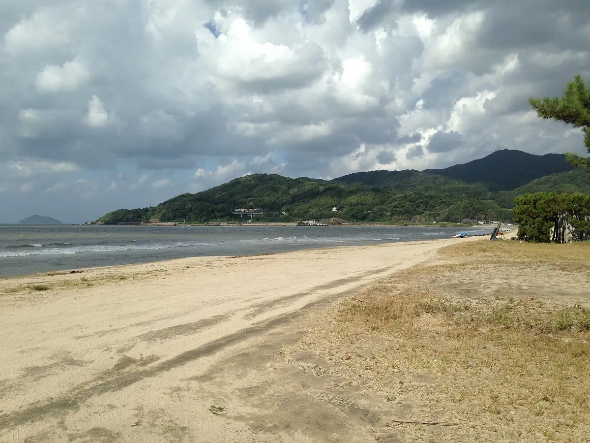
What it is
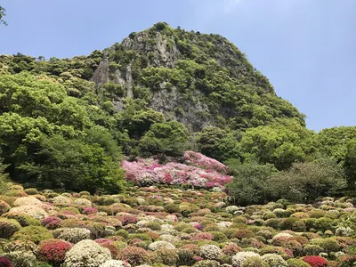
- A mountain standing 535.2 meters tall on the border of Saga and Fukuoka prefectures.
- The westernmost peak of the Sefuri Mountains located three kilometers from Karatsu Bay.
- Historically used by monks for training and named after ten mountain temples once located there.
What to see
- Panoramic views of Karatsu Bay and Iki Island from the mountain summit.
- Sightlines toward Mount Kaya and Noko Island on the Fukuoka side.
- Shiraki Pass situated on the eastern side of the mountain.
- A golf course occupying the southeastern slope of the peak.
Notes written by Japan Gems from facts in Japanese Wikipedia.
Where it is
Mount Tonbo Open in Google Maps
この施設の関係者の方へ
このページは公開情報をもとに Japan Gems が作成し、訪日外国人向けに英語で掲載しています。 写真や情報の追加・修正を承っています。お店の写真に差し替えることもできます。
このページの情報を更新する