

13 Mountains in Saga worth your time
Japan Gems
13 Mountains in Saga, with what to see and how to get there.
Saga has 13 mountains on Japan Gems. Below are the 13 we can tell you the most about — each one written up in English from Japanese sources, with what to see and how to get there. See all mountains in Saga.
01
Mount Kurokami
SAGA · PLACE 黒髪山 (佐賀県)
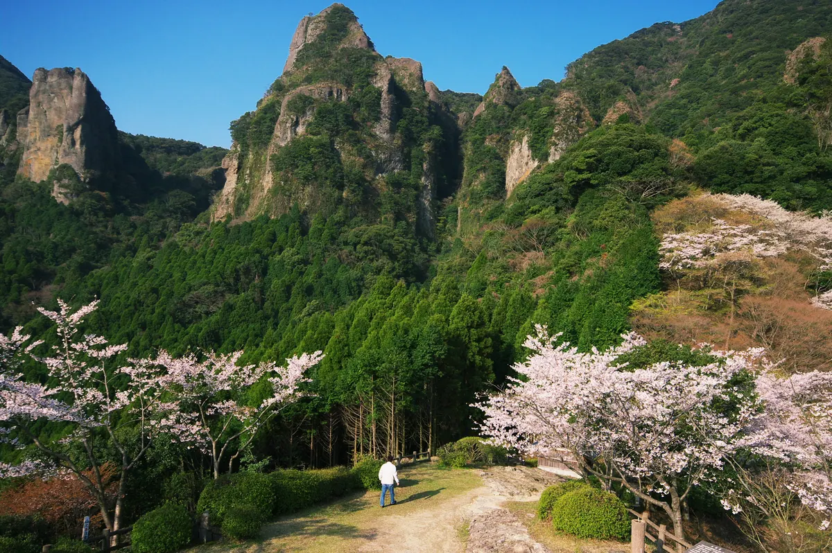
A 516-meter peak in Saga offering rugged climbing routes, ancient religious sites, and rare botanical species for nature enthusiasts.
What it is
- A 516-meter mountain bordering Takeo City and Arita Town in Saga Prefecture.
- A former training ground for Shugendo practitioners since the Kamakura period.
- Designated as the first prefectural natural park in Saga in 1937.
- Recognized as one of the New 100 Famous Japanese Mountains.
What to see
- The Tendo-iwa rock formation located at the mountain summit.
- Black Hair Shrine and Daichi-in Temple situated on the slopes.
- National natural monument habitats for the rare Kaneko-shida fern.
- Unique local flora including Kurokami-ran and Kurokami-shiraitoso orchids.
- The Ryumon no Shimizu water source listed among Japan's exquisite waters.
- Chains, ladders, and ropes used to navigate the steep climbing routes.
Getting there
- The nearest railway access is via JR Mimasaka Station.
02
Mount Kizan
SAGA · PLACE 基山
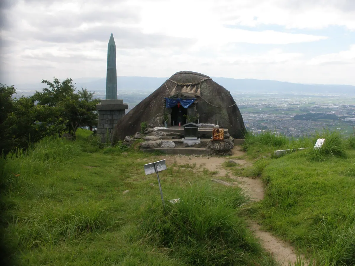
A 404-meter peak featuring ancient castle ruins, a granite megalith, and panoramic views of Hakata Bay and the Chikugo River.
What it is
- A 404.5 meter mountain spanning the border of Saga and Fukuoka prefectures.
- Home to the Kii Castle ruins, designated as a Special Historic Site.
- Part of the Sefuri Kitayama Prefectural Natural Park landscape.
- Site of two Buddhist sect headquarters located on the mountainside.
What to see
- A large granite megalith known as Tamatama-ishi located near the peak.
- A monument dedicated to Emperor Tenji situated near the summit.
- Sumiyoshi Shrine located near the ancient south water gate of the castle.
- Grass skiing slopes and sections of the Kyushu Nature Trail.
- Panoramic views stretching from Hakata Bay to the Chikugo River.
Getting there
- The mountain is accessible via the Kiyama Community Bus service.
03
Mount Sefuri
SAGA · PLACE 脊振山
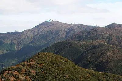
The highest peak in the Sefuri range featuring a summit shrine, radar installations, and Japan's first tea cultivation site.
What it is
- The highest peak in the Sefuri mountain range at 1,054 meters above sea level
- A historic site recognized as the first place tea was cultivated in Japan
- The border between Saga and Fukuoka Prefectures, formerly known as Mount Hirotaki
- A summit location housing the Sefuri Shrine dedicated to the deity Benzaiten
What to see
- A Japan Air Self-Defense Force radar site situated directly at the summit
- A separate weather radar station located one kilometer west of the peak
- Natural granite formations dating back to the Cretaceous period
- Public facilities including a parking lot and toilets just below the summit
When to go
- Winter months when the area experiences heavy snowfall exceeding 50 centimeters
04
Mount Rai
SAGA · PLACE 雷山
A 954-meter peak in the Sefuri range offering panoramic coastal views and historic shrines near the Fukuoka-Saga border.
What it is
- A 954.5-meter mountain peak located on the border of Fukuoka and Saga prefectures.
- Part of the Sefuri mountain range composed primarily of metamorphic rocks like serpentinite.
- A destination also known by the name Sosogidake featuring a grassy plain called Sosogino.
- Home to the Sennyoji Daihiouin temple and the Fudotaki waterfall.
What to see
- Three stone shrines of Ikazuchi Shrine standing at the mountain peak.
- Expansive views of Fukuoka City and the Genkai Sea from the summit.
- The Sosogino grassy plain spreading out just below the highest point.
- The Fudotaki waterfall located along the mountain slopes.
Getting there
- Buses run from Chikuzen-Maebaru Station to the base of the mountain.
05
Mount Tōsen
SAGA · PLACE 唐泉山
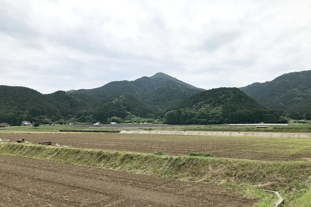
A 409-meter peak in Saga featuring historic shrines, a protected ancient forest, and a rare 19th-century stone arch bridge.
What it is
- A 409.7-meter mountain in Ureshino known locally as Hizen Kofuji or Fujitsu Fuji.
- Site of Hatten Shrine, reportedly founded by the monk Ekan in the year 653.
- A historical training ground for Shugendo practitioners dedicated to mountain and fire deities.
- The summit area is a protected natural monument consisting of an ancient Castanopsis forest.
What to see
- Three separate shrine buildings belonging to Hatten Shrine located at different elevations.
- A stone arch bridge built in 1854 located at the lower shrine complex.
- The summit forest of Castanopsis trees designated as a prefectural natural monument.
- Geological formations of altered andesite dating back to the Pliocene epoch.
06
Tara-dake
SAGA · PLACE 多良岳
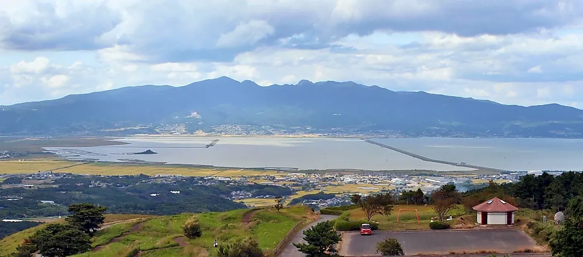
A 996-meter mountain on the Nagasaki-Saga border offering historic Shugendo temples and vibrant seasonal flowers for hikers.
What it is
- A 996-meter peak within a dissected stratovolcano system in Kyushu.
- A historic site for Shugendo mountain worship on the Nagasaki and Saga border.
- Part of a designated prefectural natural park and the Kyushu 100 Famous Mountains.
- A protected area recognized among the Top 100 Water Source Forests.
What to see
- The Tara-dake Shrine Upper Shrine located at the mountain summit.
- Kinsen-ji Temple situated slightly below the peak of the mountain.
- Natural colonies of rhododendrons and azaleas growing throughout the forest.
- Andesite rock bodies that form the summit area of the peak.
- Scenic access points including the Todoroki Falls and Nakayama Campground.
07
Kusenbu Yama
SAGA · PLACE 九千部山
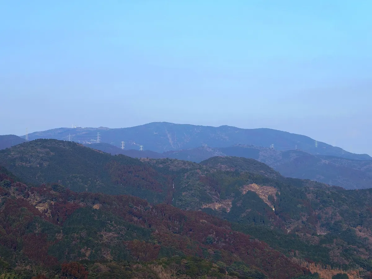
A 847.5-meter peak in the Sefuri range featuring a stone shrine, ancient sutra mounds, and panoramic views across two prefectures.
What it is
- A mountain peak standing 847.5 meters high within the Sefuri mountain range.
- A site identified in ancient records as Kusanoyokoyama spanning Tosu and Nakagawa cities.
- A protected area that is part of two different prefectural natural parks.
- A modern communication hub hosting television, FM radio, and business relay stations.
What to see
- A stone shrine dedicated to the deity Benzaiten located at the summit.
- An ancient sutra mound and a memorial tower situated on the mountain.
- The Minamihata Dam located at the foot of the mountain on the Fukuoka side.
- Hiking trails that connect the peak to Manzai-ji Temple and Ishidani Yama.
08
Mount Ten
SAGA · PLACE 天山
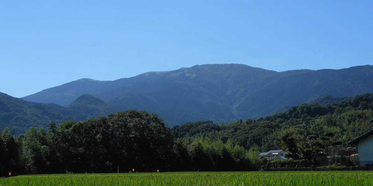
A 1,046-meter peak in Saga offering panoramic sea views, historic shrines, and a summit memorial tower within a natural park.
What it is
- A 1,046-meter mountain spanning Karatsu, Ogi, Saga, and Taku cities.
- Part of the Tsukushi Mountain Range designated as a Prefectural Natural Park.
- The setting for the Japanese novel titled Seishun no Satetsu.
- A summit featuring serpentinite rock and a first-class triangulation point.
What to see
- Panoramic views of the Genkai Sea and Ariake Sea from the peak.
- A memorial tower dedicated to Aso Korenao located at the summit.
- The Tenzen Shrine upper shrine situated at the ninth station.
- Three lower shrines positioned along ancient climbing routes.
- The northern slope where a ski resort formerly operated until 2022.
09
Hachiman Dake
SAGA · PLACE 八幡岳 (佐賀県)
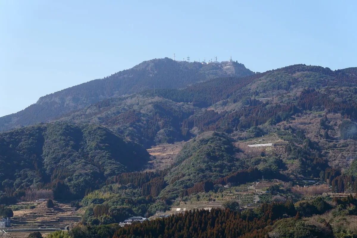
A 763-meter mountain in Saga Prefecture featuring a summit shrine, scenic rice terraces, and basalt cliffs for rock climbing.
What it is
- A 763.6-meter mountain spanning Karatsu, Imari, Takeo, and Taku cities.
- Designated as a Prefectural Natural Park since 1970 covering 8.60 square kilometers.
- Home to a summit shrine dedicated to the deity Hachiman Daibosatsu.
- A telecommunications hub hosting FM radio, digital television, and emergency wireless stations.
What to see
- The Warabino Rice Terraces located on the northern side of the mountain.
- Basalt cliffs used by visitors for rock climbing activities.
- Wild azaleas and Lycoris sanguinea flowers growing near the summit area.
- Broadcasting towers that have provided digital television signals since 2006.
10
Mount Kagami
SAGA · PLACE 鏡山
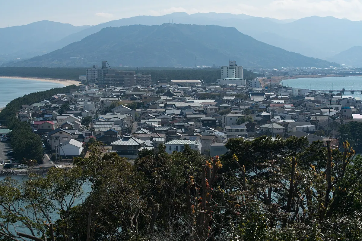
A 284-meter mountain in Karatsu offering panoramic views, historical legends, and a challenging 1278-step climb to the summit.
What it is
- A 283.56-meter mountain in Karatsu City also known as Hirefuriyama.
- The site where Empress Jingu reportedly enshrined a mirror.
- A location associated with the ancient legend of Matsura Sayohime.
- A flat-topped peak featuring Kagami Shrine at its base.
What to see
- Two observatories providing views from the mountain summit.
- A steep hiking path consisting of 1278 stone steps.
- A shrine and hang-gliding slopes located at the top.
- Television and FM radio transmission towers on the peak.
When to go
- Visit in May to see the azaleas in full bloom.
11
Hamaguri Dake
SAGA · PLACE 蛤岳
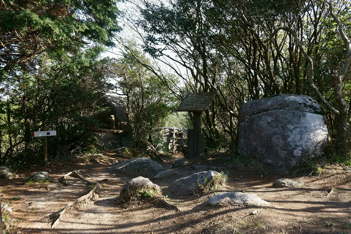
A 862-meter peak featuring a giant summit rock and a historic 17th-century canal designated as civil engineering heritage.
What it is
- A mountain standing 862.8 meters high within the Sefuri mountain range.
- Home to the Hamaguri Canal, an artificial waterway built in 1626.
- The canal was created by Narutomi Shigeyasu to divert water to the Tate River.
- Recognized as a Civil Engineering Heritage site since 2010.
What to see
- A giant rock known as Hamaguri Iwa located at the mountain summit.
- The 1.5-kilometer long canal featuring overflow structures called nogoshi.
- Sections of the Kyushu Nature Trail that pass through the mountain area.
- The historic waterway which underwent concrete renovation in 1952.
12
Mount Tonbo
SAGA · PLACE 十坊山
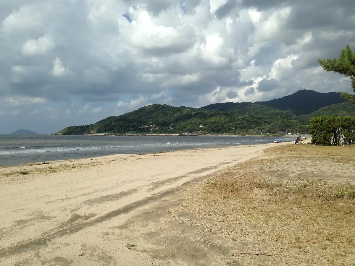
A 535-meter peak in the Sefuri range offering panoramic views of Karatsu Bay and islands from former monk training grounds.
What it is
- A mountain standing 535.2 meters tall on the border of Saga and Fukuoka prefectures.
- The westernmost peak of the Sefuri Mountains located three kilometers from Karatsu Bay.
- Historically used by monks for training and named after ten mountain temples once located there.
What to see
- Panoramic views of Karatsu Bay and Iki Island from the mountain summit.
- Sightlines toward Mount Kaya and Noko Island on the Fukuoka side.
- Shiraki Pass situated on the eastern side of the mountain.
- A golf course occupying the southeastern slope of the peak.
13
Mount Hinokuma
SAGA · PLACE 日の隈山
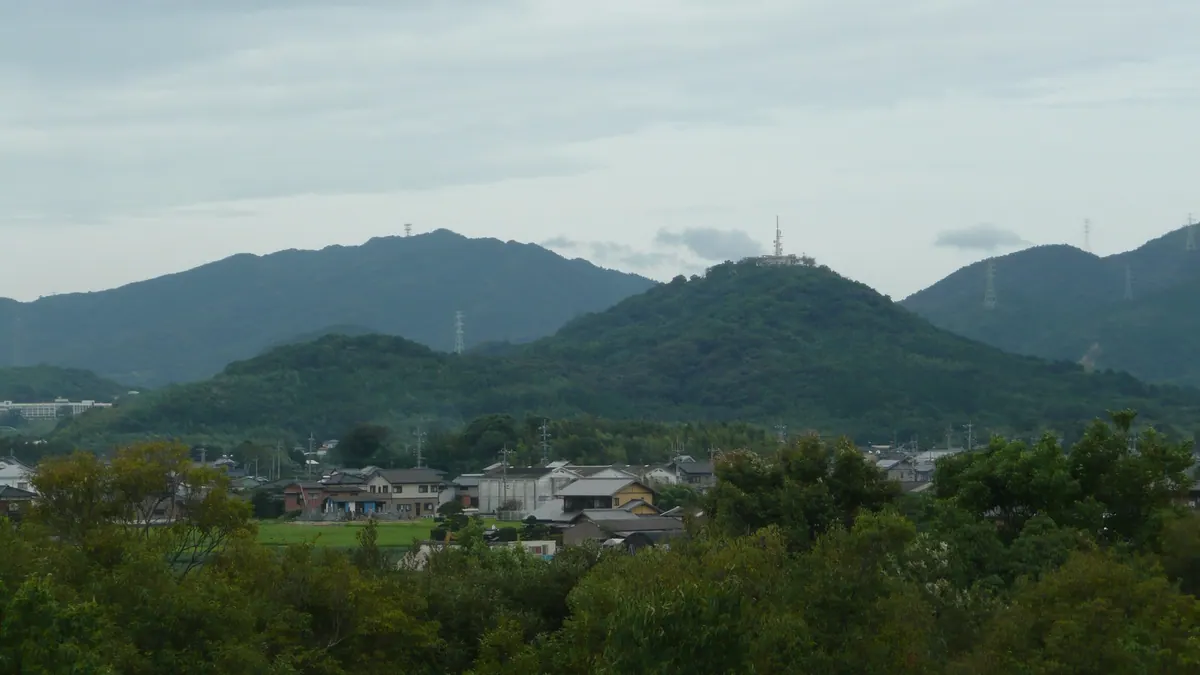
A 158-meter peak in Saga Prefecture featuring a historic signal fire site, a public park, and modern television relay towers.
What it is
- A mountain standing 158 meters tall, also known by the name Saigo Fuji.
- Site of a signal fire station established during the Nara period.
- One of the seven scenic spots known as the Hizen Shichikuma.
- Location of a country club and a public park at the southern foot.
What to see
- Transmission stations for NHK and Saga TV located at the summit.
- Digital television relay stations that have operated since October 2007.
- Hinokuma Park situated at the base of the mountain.
- Views from the peak which serves as a regional broadcasting hub.