Ōyano Island
大矢野島
This island in the Amakusa archipelago offers national park views, historical ties to Amakusa Shiro, and local aquaculture industries.
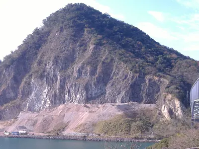
What it is
- The third largest island in the Amakusa archipelago within Kumamoto Prefecture.
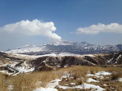
- A part of the Unzen-Amakusa National Park featuring diverse coastal landscapes.
- The historical territory of the Oyano clan during the medieval period.
- The reputed birthplace of the historical figure Amakusa Shiro.
What to see
- Mount Tobidake which serves as the highest point at 229 meters.
- The Tenmon Bridge connecting the island to the Uto Peninsula.
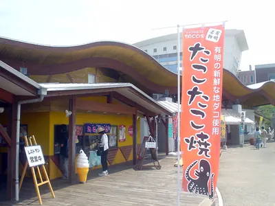
- Active aquaculture sites producing prawns, yellowtail, and pearls.
- Scenic views along National Route 266 which passes through the island.
When to go
- The Amakusa Pearl Line Marathon is held annually every March.
Getting there
- Kyushu Sanko Bus provides transportation from Kumamoto and Hondo.
- Access is available via the Tenmon Bridge from the Uto Peninsula.
Notes written by Japan Gems from facts in Japanese Wikipedia.
Where it is
Ōyano Island Open in Google Maps
この施設の関係者の方へ
このページは公開情報をもとに Japan Gems が作成し、訪日外国人向けに英語で掲載しています。 写真や情報の追加・修正を承っています。お店の写真に差し替えることもできます。
このページの情報を更新する