

9 Islands in Kumamoto worth your time
Japan Gems
9 Islands in Kumamoto, with what to see and how to get there.
Kumamoto has 9 islands on Japan Gems. Below are the 9 we can tell you the most about — each one written up in English from Japanese sources, with what to see and how to get there. See all islands in Kumamoto.
01
Yushima
KUMAMOTO · PLACE 湯島
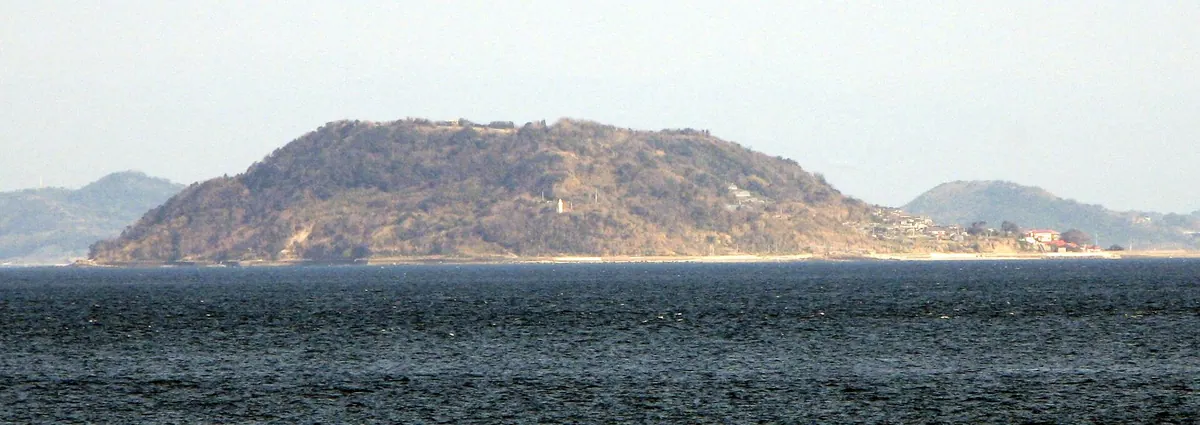
A small basalt island in Kumamoto known for its large cat population and historical role in the Shimabara Rebellion.
What it is
- A flat table-shaped island formed from basalt located between Oyano Island and Shimabara Peninsula.
- Commonly nicknamed Dango Island because of its history during the Shimabara Rebellion.
- A destination known as Cat Island home to approximately two hundred resident cats.
- Part of Kamiamakusa City situated nine kilometers offshore from the mainland.
What to see
- The Yushima Lighthouse which was first lit in December nineteen sixteen.
- A local community where five surnames account for the majority of the population.
- The island landscape spanning a circumference of approximately three point five kilometers.
- Local public buildings including an elementary school and a junior high school.
Getting there
- Regular ferries depart five times daily from Ebito Port.
- The ferry journey from the port takes approximately twenty-five minutes.
02
Maki Island
KUMAMOTO · PLACE 牧島
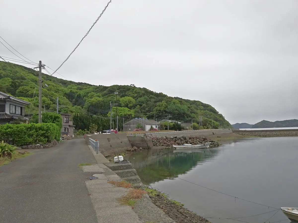
A quiet island in Unzen-Amakusa National Park known for ancient fossils, rare wildlife, and a three-hundred-year-old monument tree.
What it is
- A populated island located in the Yatsushiro Sea within Unzen-Amakusa National Park.
- The island name originates from a historic ranch owned by the Sumoto clan.
- The landscape contains geological strata dating back to the Cretaceous and Paleogene periods.
- Home to endangered species including the milky fiddler crab and diverse marine life.
What to see
- A three-hundred-year-old Ficus superba tree designated as a city natural monument.
- The Nakaseto Bridge which provides a physical connection to neighboring Goshoura Island.
- Fossil discovery sites where ammonites and Coryphodon remains have been unearthed.
- Local agricultural displays of citrus fruits such as the Dekopon variety.
When to go
- Visit during the summer months to attend the local island festival.
- The Shima-aji Marathon is held annually for runners and visitors.
03
Ōyano Island
KUMAMOTO · PLACE 大矢野島
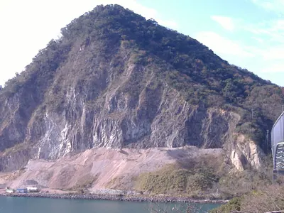
This island in the Amakusa archipelago offers national park views, historical ties to Amakusa Shiro, and local aquaculture industries.
What it is
- The third largest island in the Amakusa archipelago within Kumamoto Prefecture.
- A part of the Unzen-Amakusa National Park featuring diverse coastal landscapes.
- The historical territory of the Oyano clan during the medieval period.
- The reputed birthplace of the historical figure Amakusa Shiro.
What to see
- Mount Tobidake which serves as the highest point at 229 meters.
- The Tenmon Bridge connecting the island to the Uto Peninsula.
- Active aquaculture sites producing prawns, yellowtail, and pearls.
- Scenic views along National Route 266 which passes through the island.
When to go
- The Amakusa Pearl Line Marathon is held annually every March.
Getting there
- Kyushu Sanko Bus provides transportation from Kumamoto and Hondo.
- Access is available via the Tenmon Bridge from the Uto Peninsula.
04
Tobase Island
KUMAMOTO · PLACE 戸馳島
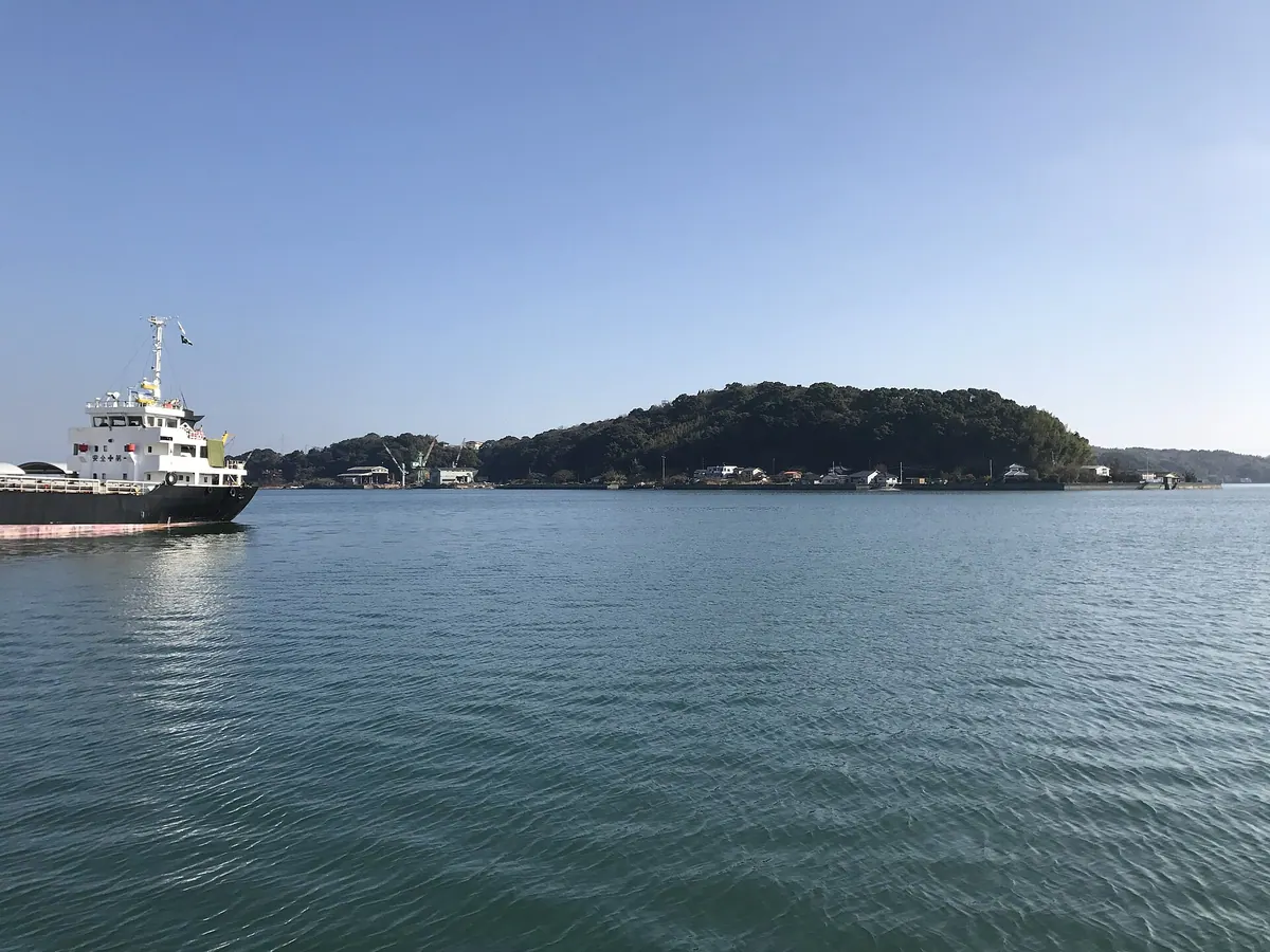
A rural island in Kumamoto connected by bridge, known for its orchid cultivation, citrus groves, and ancient shell mound ruins.
What it is
- A small island in the northern Yatsushiro Sea belonging to Uki City.
- A former independent village that became part of the mainland municipality in 1955.
- An agricultural hub specializing in orchids, snapdragons, and marguerite flowers.
- A center for local aquaculture producing clams and prawns.
What to see
- The Hamansu Shell Mound containing pottery and bones from the Jomon period.
- Extensive greenhouses dedicated to the cultivation of various orchid species.
- Agricultural fields growing mandarin oranges and sweet summer oranges.
- The Tobase Bridge which connects the island to the Uto Peninsula.
Getting there
- Access the island via the new bridge that opened in March 2019.
- Local public transportation is limited to a reservation-based shared taxi service.
05
Kyushu
KUMAMOTO · PLACE 九州
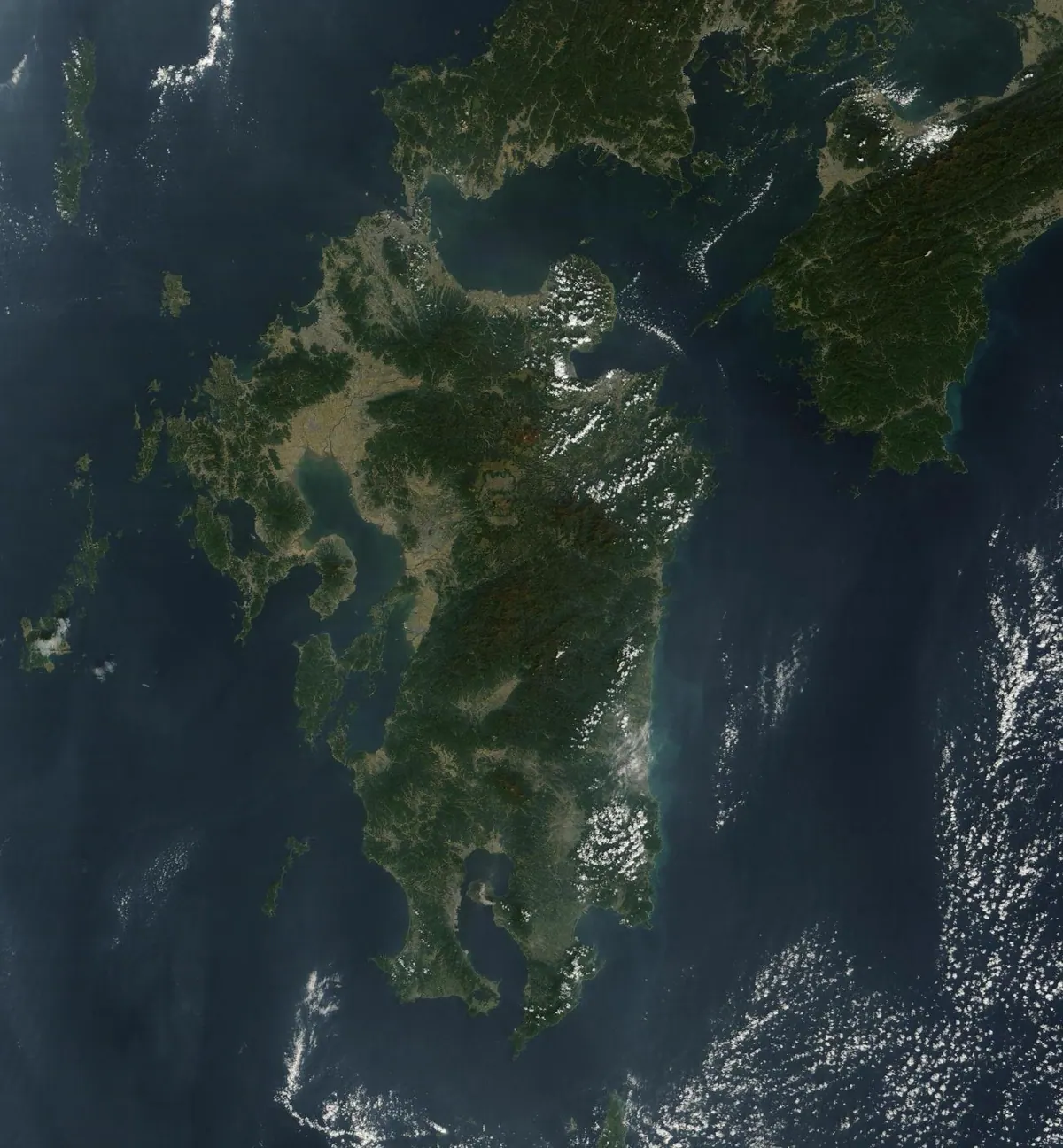
Japan's third largest island offers dramatic volcanic landscapes, warm climates, and major urban centers across seven southwestern prefectures.
What it is
- One of the four main islands located in the southwestern part of Japan.
- A region historically known in ancient texts as Tsukushinoshima.
- A large landmass consisting of seven prefectures with over twelve million residents.
- The third largest island in the Japanese archipelago bordered by the Pacific Ocean.
What to see
- Mount Aso featuring one of the world's largest volcanic calderas.
- Mount Nakadake which serves as the island's highest point at 1,791 meters.
- Fukuoka City which is the largest urban center in the region.
- Diverse coastal views along the Pacific Ocean and the East China Sea.
When to go
- Summer months experience high rainfall across the seven prefectures.
- The climate is generally warm throughout the year for visitors.
06
Mizushima
KUMAMOTO · PLACE 水島
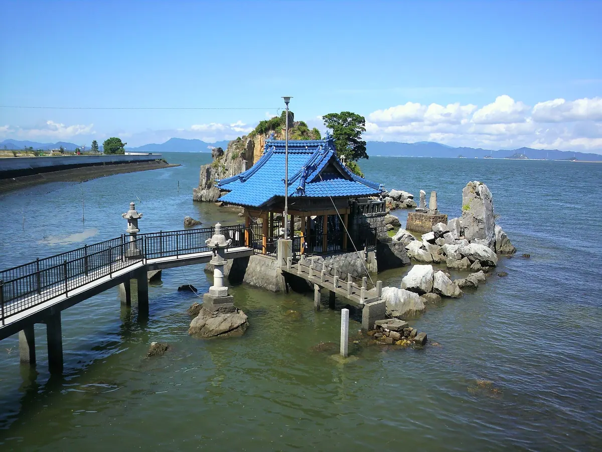
A small uninhabited island and national scenic spot mentioned in ancient Japanese chronicles and poetry collections.
What it is
- An uninhabited island located near the Kuma River estuary in Yatsushiro City.
- A designated national scenic spot mentioned in the ancient Nihon Shoki and Manyoshu texts.
- The site where Emperor Keiko reportedly visited during his travels.
- A location historically known for a natural spring that dried up around 1955.
What to see
- A small bridge connecting the embankment to the island for pedestrian access.
- A stone monument marking the site of the former natural spring.
- Scenic views of the surrounding water and coastal landscape.
Getting there
- Thirteen minutes by taxi from Higo-Koda Station.
- Located 5.5 kilometers from the Yatsushiro-minami Interchange.
- Accessible on foot via a bridge from the mainland embankment.
07
Tsūji Island
KUMAMOTO · PLACE 通詞島
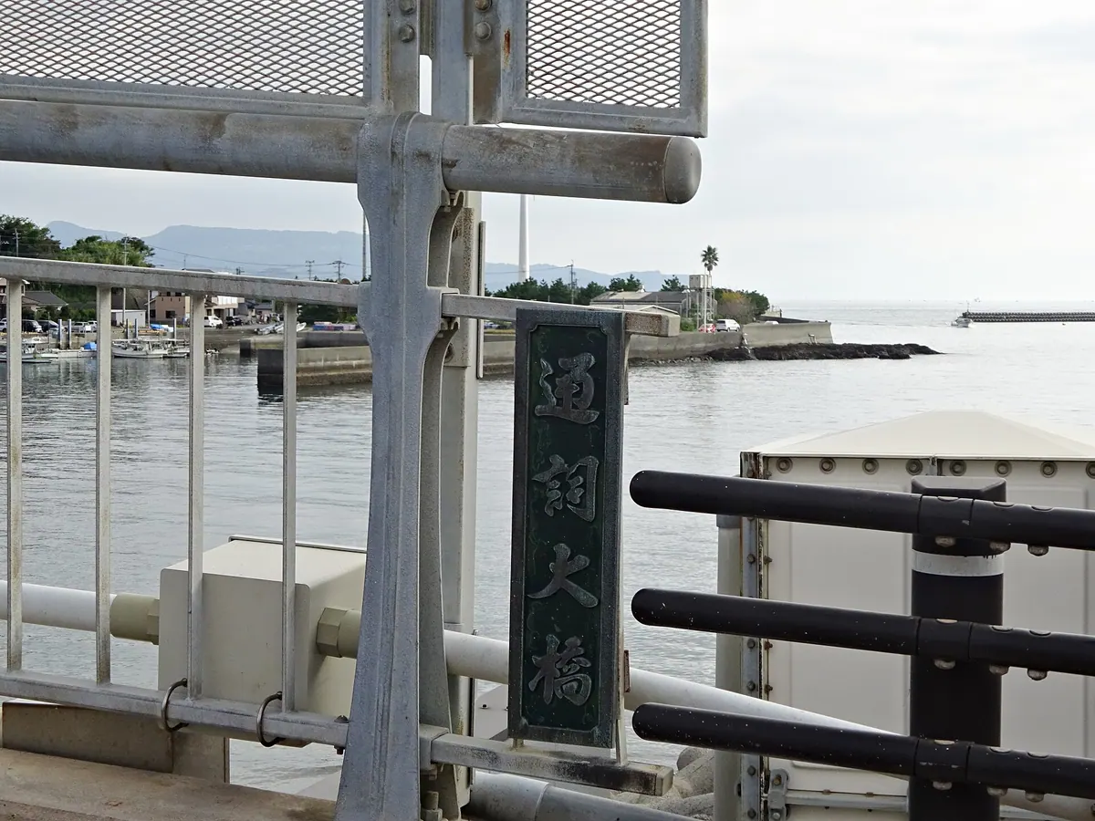
A coastal island in Amakusa known for its medieval history as a home for interpreters and its diverse marine seagrass beds.
What it is
- A small island located at the northern tip of Amakusa Shimoshima in Kumamoto Prefecture.
- The name originates from interpreters who lived on the island during medieval times.
- Connected to the mainland by the Tsuji Ohashi Bridge which opened in 1975.
What to see
- Diverse seagrass and seaweed beds located along the coastal areas.
- The Tsuji Ohashi Bridge which allows visitors to cross onto the island on foot.
Getting there
- A thirty-eight minute bus ride on the Sanko Bus from Hondo Bus Center.
- A fifteen minute drive from Amakusa Airport to the island.
- Two and a half hours from Kumamoto City by car.
- Ferries connect Shimabara Kuchinotsu Port to Oniike Port, located six kilometers away.
08
Goshourajima
KUMAMOTO · PLACE 御所浦島
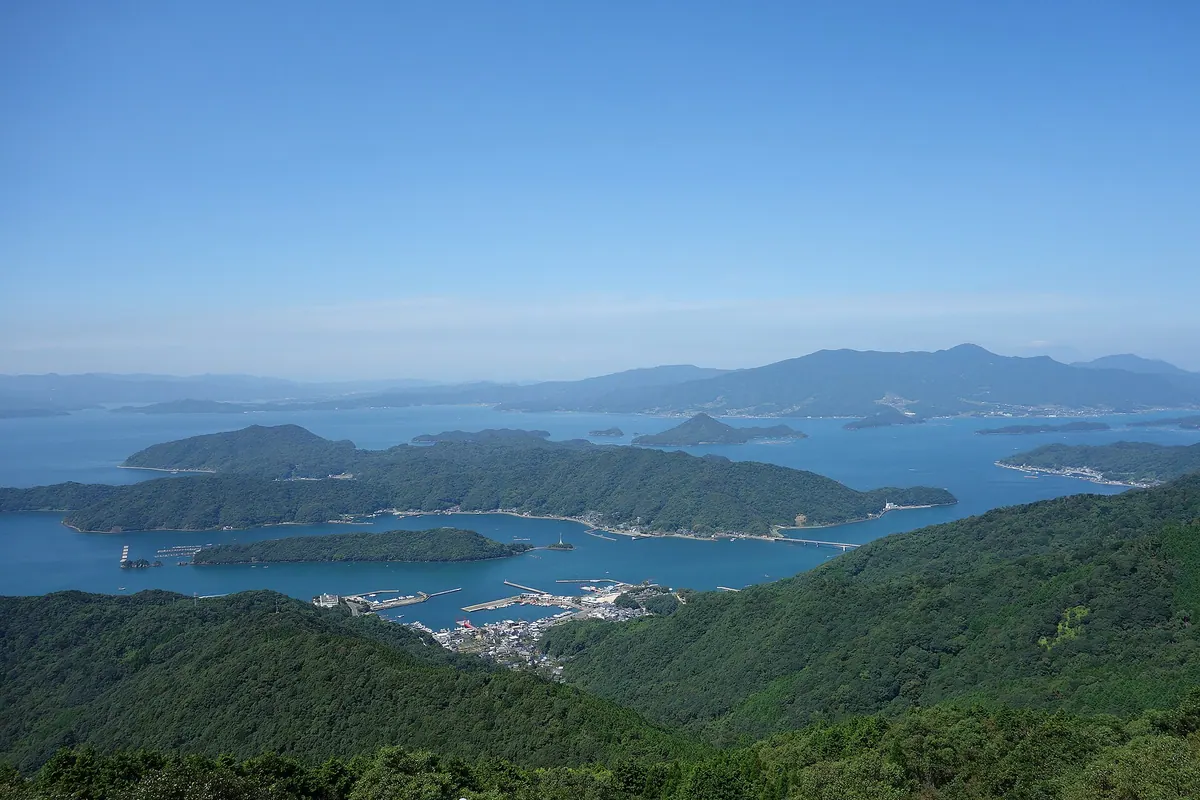
An inhabited island in the Yatsushiro Sea known for its significant dinosaur fossil discoveries and Cretaceous museum.
What it is
- An inhabited island in the Yatsushiro Sea with a population of 1,786 people
- Known as Dinosaur Island and Fossil Island following major discoveries in 1997
- Home to the Goshouura Cretaceous Museum which displays local fossil finds
What to see
- A Tyrannosaurus head object located at Goshouura Port
- Karasu-toge, which is the highest peak on the island
- Fossils and prehistoric displays at the Goshouura Cretaceous Museum
When to go
- The Shima-aji Marathon is held annually every February
Getting there
- Regular ferry services connect the island to various mainland ports
- Local bus services are operated on the island by Goshouura Taxi
09
Iwa Island
KUMAMOTO · PLACE 維和島
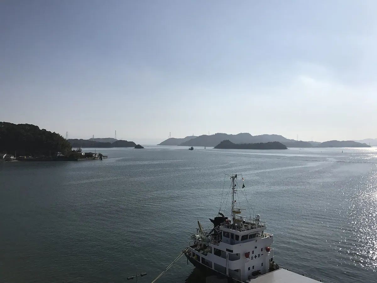
A quiet island in the Amakusa archipelago featuring mountain peaks, ancient burial mounds, and local prawn aquaculture farms.
What it is
- A residential island in the northern Amakusa archipelago also known as Senzoku Zouzou Island.
- An independent municipality from 1881 until it merged into Oyano Town in 1954.
- A local center for the kuruma prawn aquaculture industry.
- Home to the Senzaki Burial Mounds and local educational facilities.
What to see
- The ancient Senzaki Burial Mounds located on the island.
- Mount Takayama and Mount Daikan which provide natural elevation.
- The Todai-i Bridge connecting the island to neighboring Yagyu Island.
- Local prawn aquaculture farms situated around the island coast.