

20 Islands in Yamaguchi worth your time
Japan Gems
28 Islands in Yamaguchi, with what to see and how to get there.
Yamaguchi has 28 islands on Japan Gems. Below are the 20 we can tell you the most about — each one written up in English from Japanese sources, with what to see and how to get there. See all islands in Yamaguchi.
01
Iwaishima
YAMAGUCHI · PLACE 祝島
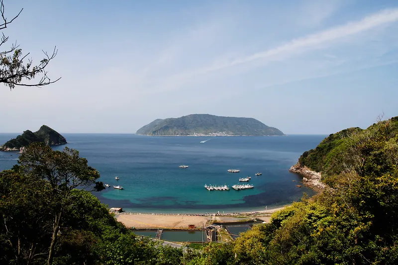
A heart-shaped island in Yamaguchi known for its traditional stone walls, organic farming, and ancient poetic history.
What it is
- A heart-shaped island with a circumference of twelve kilometers in Kaminoseki Town.
- An inhabited community of two hundred and sixty people mentioned in the Man'yoshu poetry collection.
- A center for local fishing and organic agriculture producing loquat tea.
- Home to Mount Nagami which reaches a height of over three hundred and fifty meters.
What to see
- Traditional stone-and-plaster walls called Neribei built to protect houses from strong winds.
- A stone mound known as Heike-zuka located on the island.
- Organic loquat orchards that produce high-sugar fruit and specialty tea.
- The local elementary school which reopened for students in 2021.
When to go
- The Kanmai festival takes place every four years during leap years.
Getting there
- A high-speed ferry connects the island to Murotsu Port.
02
Futaoijima
YAMAGUCHI · PLACE 蓋井島

A remote island in Yamaguchi featuring emu farming, military ruins, and a sacred forest for rare ritual traditions.
What it is
- The westernmost island of Yamaguchi Prefecture located within Shimonoseki City.
- A small community of eighty-seven people living on two square kilometers of land.
- A landscape with no prefectural or national roads and a peak reaching 252 meters.
- Home to a protected Mountain God forest designated as a Tangible Folk Cultural Property.
What to see
- A local farm where emus are raised on the island.
- The ruins of a former Japanese Army artillery battery.
- A lighthouse situated on the island coastline.
- Mount Oyama which serves as the highest point for views.
When to go
- The Mountain God ritual takes place during Dragon and Dog years.
Getting there
- Take a municipal ferry from Yoshimi Fishing Port to reach the island.
- The ferry crossing takes approximately thirty-five minutes.
03
Ōmijima
YAMAGUCHI · PLACE 青海島
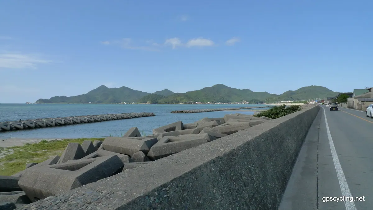
A scenic island in the Sea of Japan known for dramatic rock formations, whaling history, and diverse outdoor activities.
What it is
- A fourteen square kilometer island designated as a National Scenic Spot and Natural Monument.
- Part of the Kitanagato Kaigan Quasi-National Park located in the Sea of Japan.
- A former base for traditional coastal whaling centered in the Kayoi district.
- A natural landscape featuring Mount Takayama which rises to 319.9 meters.
What to see
- Dramatic coastal scenery viewed from sightseeing boats departing from Senzaki Port.
- A historic grave dedicated to whale fetuses located at Koganji Temple.
- An original summer orange tree over 200 years old growing in Ohibi.
- The northern shore beach used for scuba diving and coastal recreation.
- The Omi Ohashi Bridge connecting the island to the mainland.
Getting there
- Sanden Kotsu buses provide regular transportation between the mainland and the island.
04
Kasadojima
YAMAGUCHI · PLACE 笠戸島
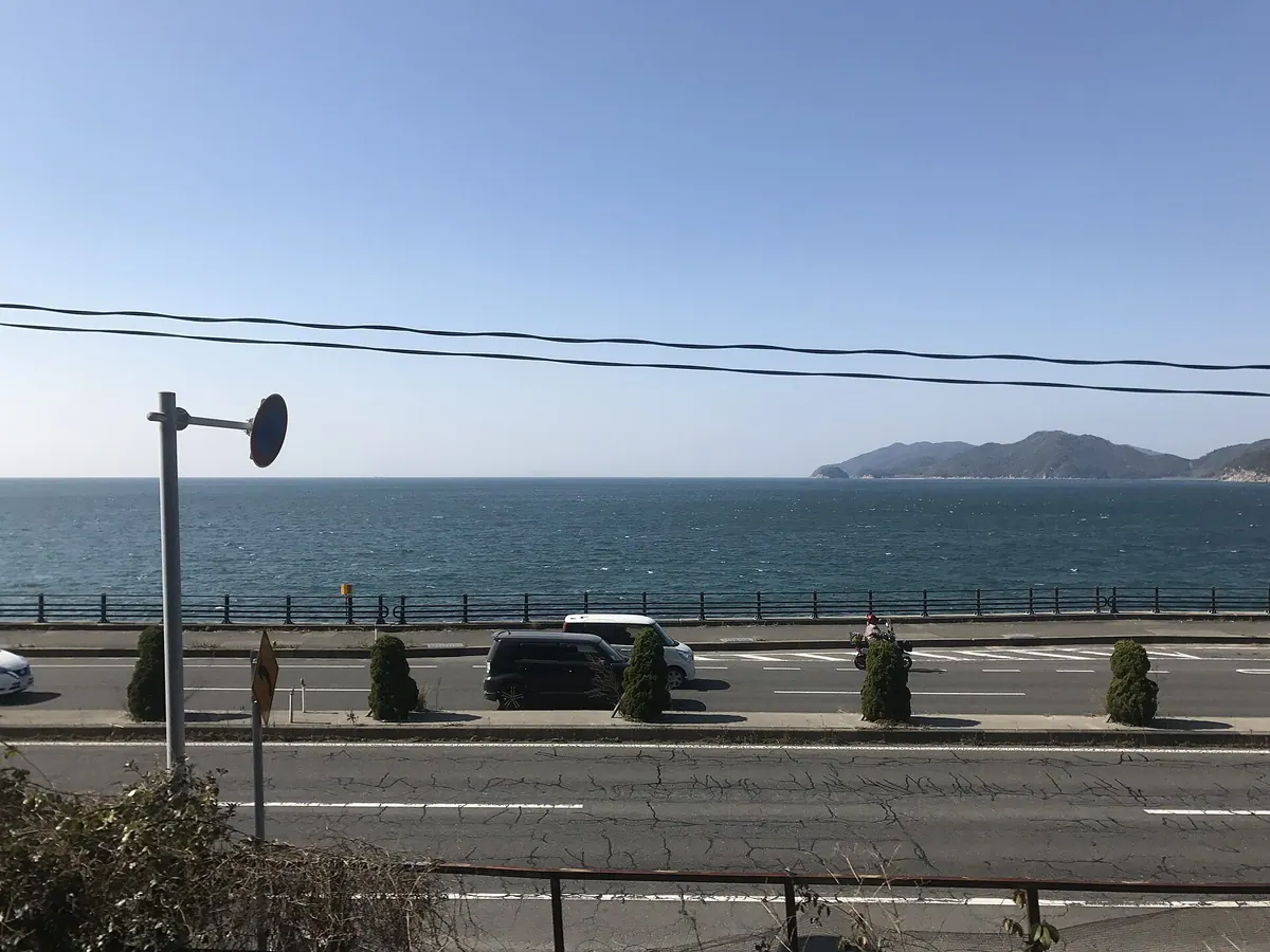
A crescent-shaped island in Setonaikai National Park featuring national forests, shipbuilding docks, and a preserved steam locomotive.
What it is
- A crescent-shaped island located in the Seto Inland Sea within Yamaguchi Prefecture.
- Part of the Setonaikai National Park with nearly half the land covered by national forest.
- A filming location for the 2022 movie Nagi's Island.
- An industrial hub known for shipbuilding and cultured seafood like flounder and tiger pufferfish.
What to see
- The Kasado Bridge which has connected the island to the mainland since 1970.
- A preserved D51592 steam locomotive located at the Kokumin Shukusha Ohjo.
- The Shin Kasado Dockyard where the island's major shipbuilding industry operates.
When to go
- February for the annual trail running race held across the island.
Getting there
- Buses run regularly between Kudamatsu Station and the Fukaura district.
05
Hashira Island
YAMAGUCHI · PLACE 柱島
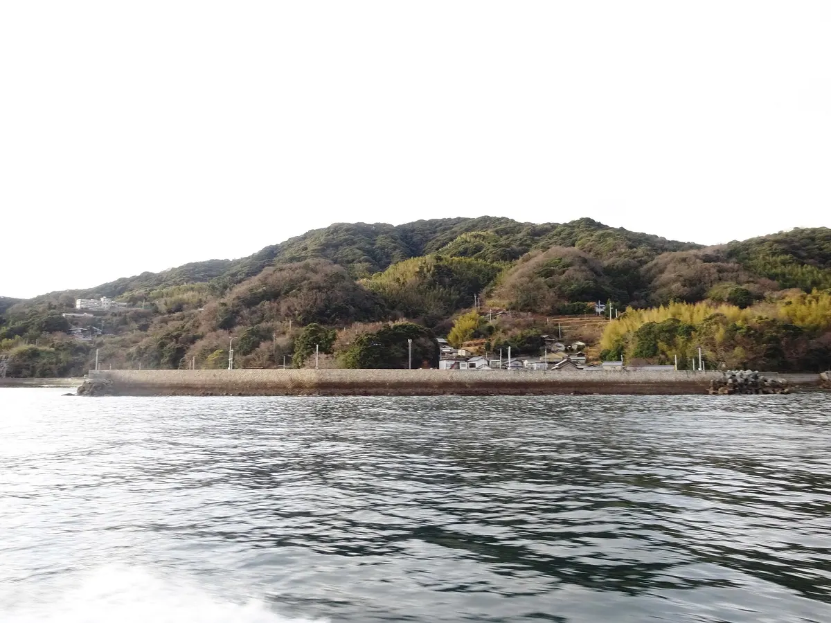
A quiet fishing island in Yamaguchi featuring a naval memorial, mountain ruins, and a shrine housing thirteen subordinate deities.
What it is
- A remote island in Iwakuni City with an economy based on fishing and citrus farming.
- The historical territory of the Kutsuna Seven Islands Navy.
- Site of the former Hashira Island Castle built by Fujiwara Homochi on Mount Kinzo.
- A former anchorage for the Imperial Japanese Navy during the Second World War.
What to see
- Kamo Shrine which enshrines thirteen subordinate shrines on its grounds.
- A memorial dedicated to the victims of the battleship Mutsu explosion.
- Mount Kinzo which reaches a peak of 290 meters above the sea.
- Unique geological formations consisting primarily of gneissose granodiorite.
Getting there
- High-speed boats depart daily from Iwakuni Port to reach the island.
- The boat journey covers 26 kilometers southeast from the mainland port.
06
Mutsurejima
YAMAGUCHI · PLACE 六連島

A small inhabited island near Shimonoseki featuring a historic British-designed lighthouse and unique geological formations of mica basalt.
What it is
- A small island located four kilometers west of Shimonoseki in Yamaguchi Prefecture.
- The historic birthplace of bottled sea urchin production in Japan.
- An agricultural community known for greenhouse cultivation of flowers and vegetables.
- A quiet residential area with a population of approximately ninety people.
What to see
- The Mutsurejima Lighthouse built in 1872 using British technology.
- A National Important Cultural Property lighthouse made of stone.
- Rare mica basalt formations designated as a national natural monument.
- Nineteen large oil storage tanks located on the island grounds.
- Views from the highest point reaching one hundred and four meters.
Getting there
- A regular ferry runs four to five times daily from Shimonoseki.
07
Mishima
YAMAGUCHI · PLACE 見島
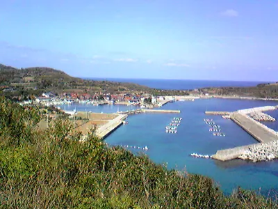
An inhabited island in Yamaguchi known for its rare native cattle, historic burial mounds, and diverse migratory bird species.
What it is
- An inhabited island located at the northernmost point of Yamaguchi Prefecture.
- Part of the Kita-Nagato Kaigan Quasi-National Park with a population of about 800.
- Home to Mishima Cattle, which are designated as a national natural monument.
- A national historic site featuring the Mishima Jikonbo Burial Mounds.
What to see
- Mishima North Lighthouse, which has been in operation since 1963.
- Mount Ikurage, the highest point on the island at 181 meters.
- A monument commemorating the 1905 rescue of Russian sailors near the island.
- Over 340 species of wild birds that use the island as a stopover.
- Mishima Dam, a flood control structure completed in 2002.
Getting there
- Take the regular ferry service operated by Hagi Kaiun from Hagi Port.
08
Suō Ōshima
YAMAGUCHI · PLACE 周防大島
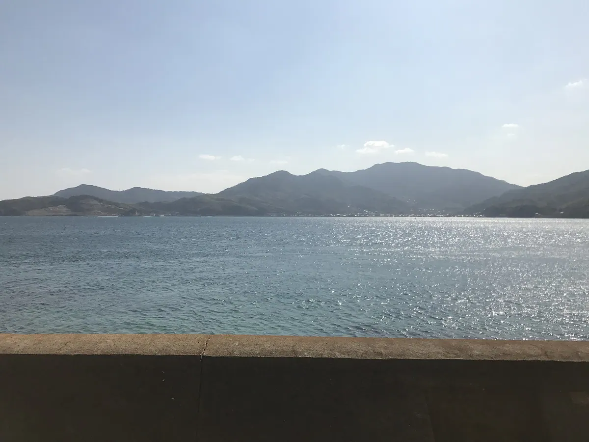
The third largest Seto Inland Sea island, known for its historic ties to Hawaii and significant citrus fruit production.
What it is
- The third largest island in the Seto Inland Sea, officially named Yashirojima.
- A major producer of citrus fruits and seafood with a population of 17,030 people.
- An island with deep historical ties to Hawaii due to Meiji era emigration.
- A location mentioned in Japan's oldest chronicles, the Kojiki and Nihon Shoki.
What to see
- The Oshima Bridge which connects the island to the Japanese mainland of Honshu.
- Mount Kano, the highest peak on the island reaching 685 meters.
- The Museum of Japanese Emigration to Hawaii detailing the local history.
- Citrus groves and coastal views across the Seto Inland Sea.
Getting there
- Cross the Oshima Bridge by vehicle from the mainland.
- Take a ferry to Ipodata Port from Yanai or Matsuyama.
09
Ganryū-jima
YAMAGUCHI · PLACE 巌流島
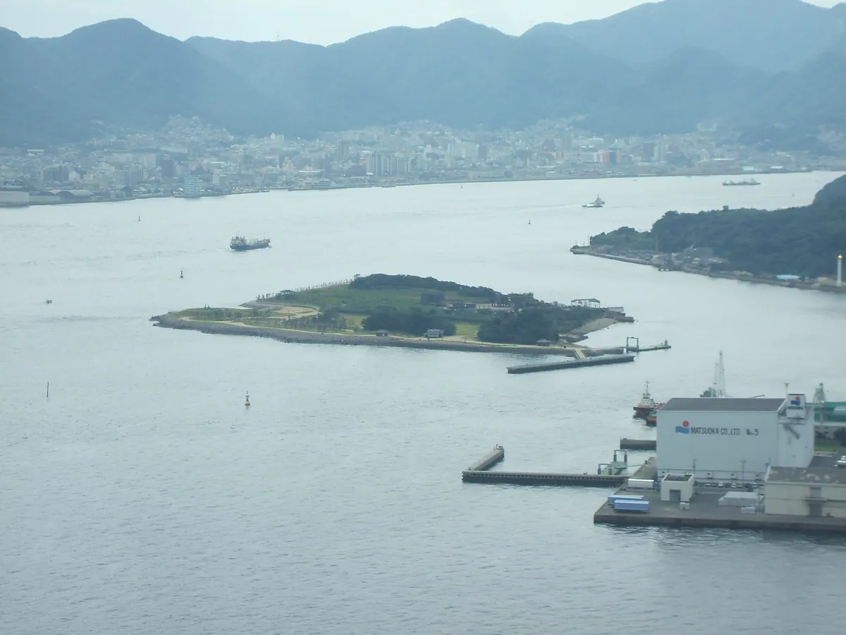
An uninhabited island in the Kanmon Straits famous for the historic duel between legendary swordsmen Miyamoto Musashi and Sasaki Kojiro.
What it is
- An uninhabited island officially named Funashima located in the Kanmon Straits.
- The site of the famous duel between Miyamoto Musashi and Sasaki Kojiro.
- Named Ganryu-jima after the fighting style of the defeated swordsman Sasaki Kojiro.
- A small island expanded to 103,000 square meters through land reclamation.
What to see
- Statues of Miyamoto Musashi and Sasaki Kojiro in the observation square.
- The Funashima Shrine located on the island grounds.
- A dedicated fishing deck for visitors to use.
- Views of the surrounding straits from a point under ten meters high.
Getting there
- Ferries run to the island from Shimonoseki and Kitakyushu.
- The island is located approximately 0.4 kilometers from the coast of Honshu.
10
Heiguntō
YAMAGUCHI · PLACE 平郡島

This large inhabited island in Yamaguchi Prefecture offers a glimpse of rural life, citrus farming, and quiet coastal settlements.
What it is
- The second largest island in Yamaguchi Prefecture located south of Yanai City.
- A rural community of 199 people with settlements on the east and west sides.
- An agricultural hub producing mandarin oranges, carnations, dried radish, and octopus.
- An island featuring a central forested area with elevations reaching 470 meters.
What to see
- East and west settlements connected by a public road along the northern coast.
- The Yanai City Heigunto Higashi Elementary School which reopened in 2012.
- Mandarin orange groves and carnation fields across the island landscape.
- Coastal views where a transport ship sank off the shore in 1945.
Getting there
- A ferry route connects Yanai Port directly to the island.
11
Ōshima
YAMAGUCHI · PLACE 大島
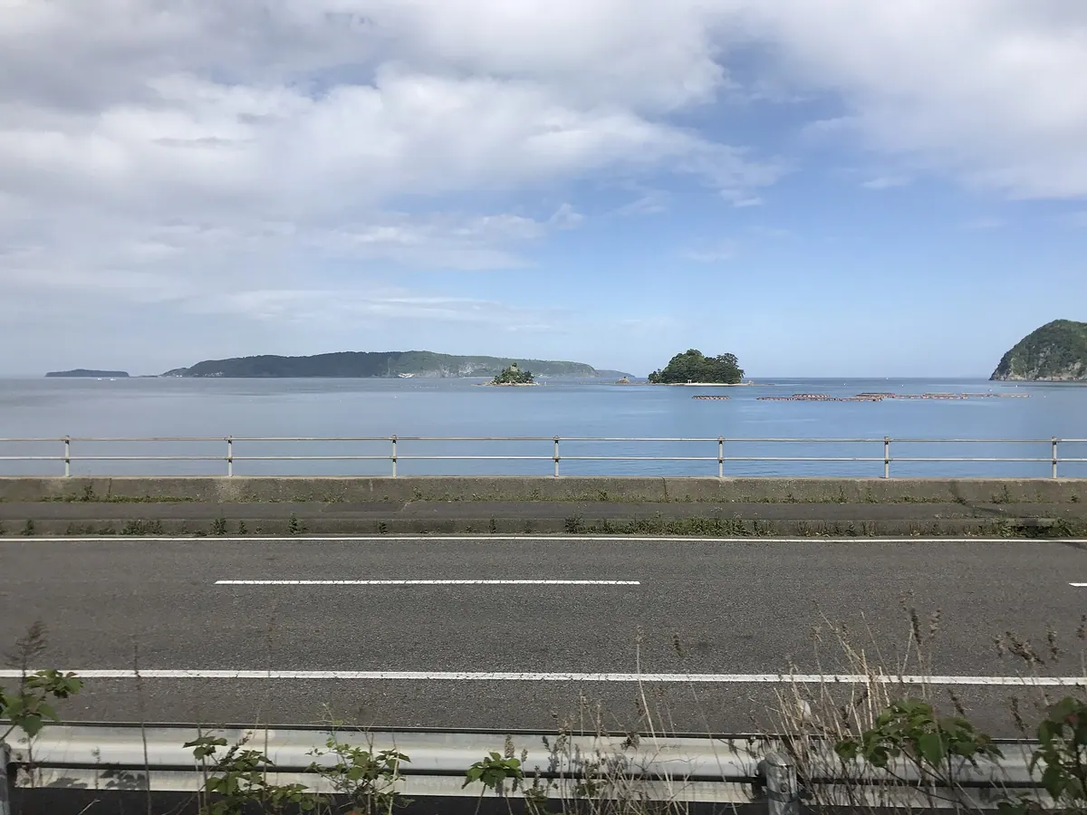
A quiet inhabited island off Hagi City known for its fishing, agriculture, and status within a coastal quasi-national park.
What it is
- A residential island located off the coast of Hagi City in Yamaguchi Prefecture.
- The former site of the Mutsushima Village office with a population of 652 people.
- A community centered on fishing and the cultivation of broccoli and leaf tobacco.
- A protected area designated as part of the Kitanagato Kaigan Quasi-National Park.
What to see
- A concentrated residential settlement located on the southern part of the island.
- The Oshima Port situated along the southern coastline.
- Agricultural fields used for growing broccoli and leaf tobacco crops.
Getting there
- Ferries depart from Hagi Port and reach the island in 25 minutes.
- The ferry service operates five round trips per day to Oshima Port.
12
Aishima
YAMAGUCHI · PLACE 相島
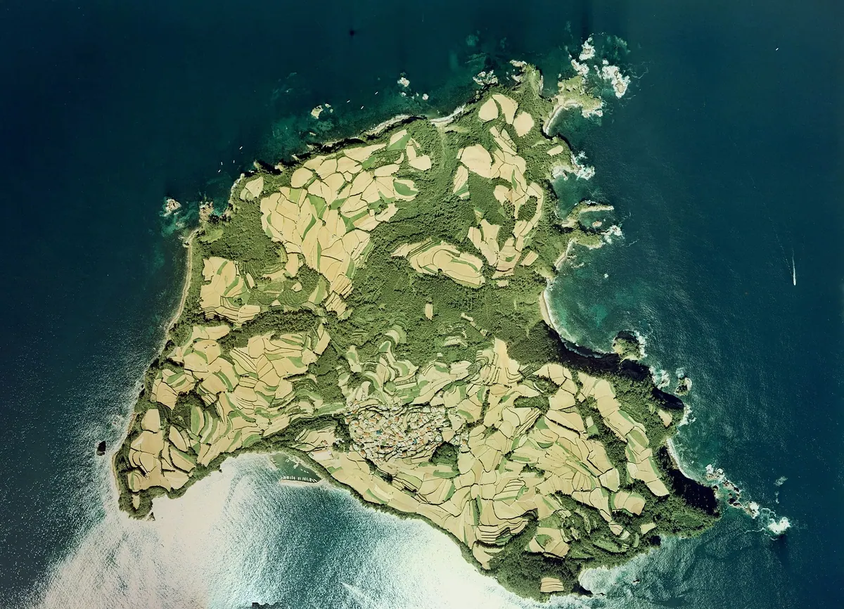
A remote volcanic island in Yamaguchi Prefecture known for its watermelon farming and scenic location within a quasi-national park.
What it is
- The westernmost island of the Hagi Rokushima group in Yamaguchi Prefecture.
- A small community of 139 residents located 14 kilometers northwest of Hagi Port.
- A production center for watermelons and sweet potatoes used for shochu.
- A protected area within the Kitanagato Kaigan Quasi-National Park.
What to see
- Island landscapes formed by volcanic ash deposits and surrounding reefs.
- Local agricultural fields dedicated to watermelon and sweet potato cultivation.
- The local elementary and junior high school situated near the port area.
Getting there
- Ferries depart from Hagi Port and reach the island in about 40 minutes.
- The ferry service operates three round trips per day to the island.
13
Yashima
YAMAGUCHI · PLACE 八島
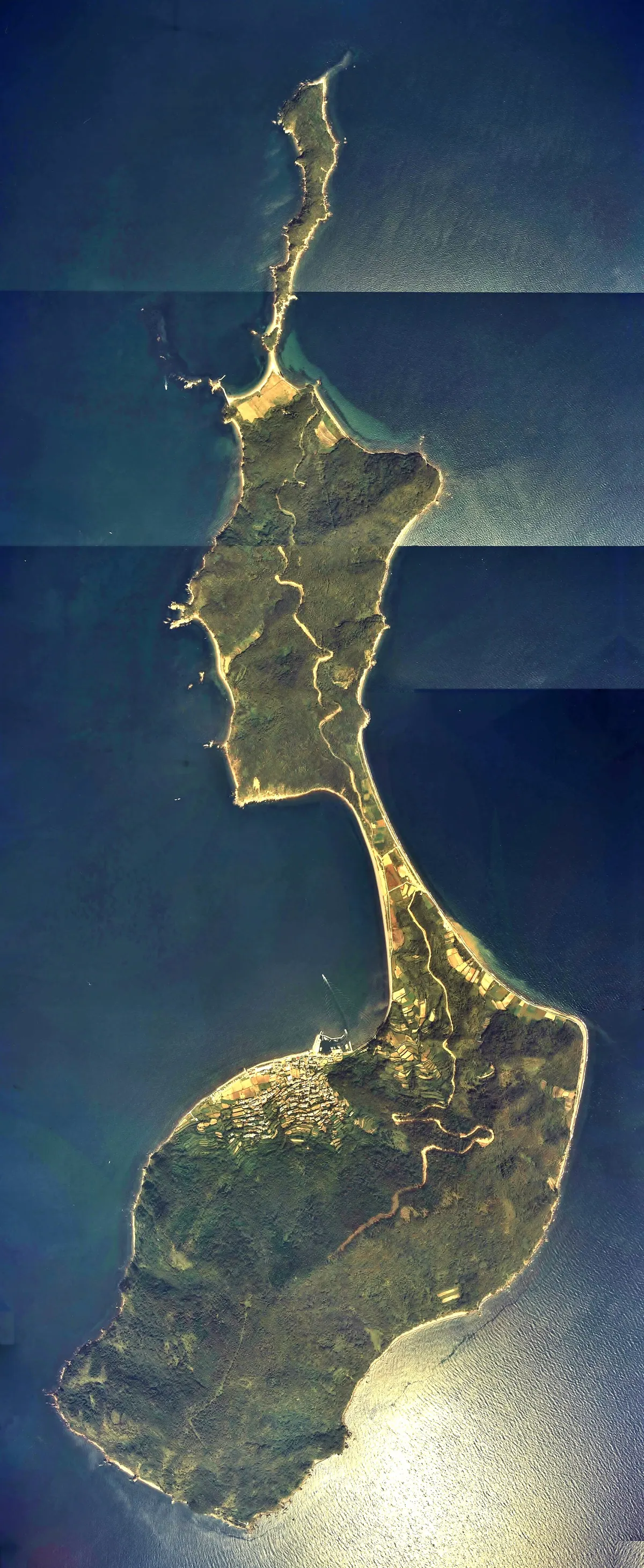
A remote island in Yamaguchi Prefecture formed by three landmasses, known for its natural monuments and Taira clan legends.
What it is
- The southernmost island in Yamaguchi Prefecture located twelve kilometers offshore from Honshu.
- A landmass of four square kilometers formed by three sections connected by sandbars.
- A quiet community where local legends claim the Taira clan settled long ago.
- A former source of emigration to Hawaii during the Meiji period.
What to see
- The Kashiwa and Byakushin plant community which is a protected prefectural natural monument.
- Traditional island infrastructure including a local medical clinic and a post office.
- Narrow paths and walkways unsuitable for large vehicles across the island terrain.
Getting there
- A regular ferry service operates three times daily from Kaminoseki Port.
14
Hitsu Island
YAMAGUCHI · PLACE 櫃島
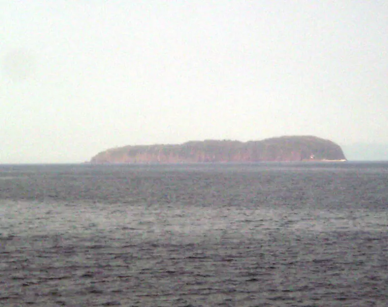
A remote lava plateau island near Hagi featuring tobacco fields, a rare plant species, and a 400-year-old sacred tree.
What it is
- A lava plateau formed by andesite rock located in the Sea of Japan.
- Part of the Kitanagato Kaigan Quasi-National Park near Hagi City.
- A former place of exile according to historical documents from the Edo period.
- A quiet island with only two residents and no public lodging or facilities.
What to see
- Leaf tobacco fields covering most of the flat inland area.
- A 400-year-old Ryukyu hackberry tree at Hitsushima Hachiman Shrine.
- The only wild growth of the echinops setifer plant in Yamaguchi Prefecture.
- Coastal views from the island's highest elevation of 90.1 meters.
Getting there
- No scheduled ferry service currently operates to the island.
15
Ōzu Island
YAMAGUCHI · PLACE 大津島

A historic island in Yamaguchi featuring a memorial museum and heritage sites dedicated to WWII Kaiten human torpedo training.
What it is
- A ten kilometer long island originally formed by two separate landmasses.
- Former training base for Imperial Japanese Navy Kaiten human torpedoes.
- Site of the final anchorage for the battleship Yamato.
- Location of a Yamaguchi Broadcasting AM radio transmitter.
What to see
- The Kaiten Memorial Museum built on the site of former military barracks.
- A JSCE Civil Engineering Heritage site at the former launch training base.
- Former black granite quarries located across the island.
- Four distinct ports named Kario, Magami, Motoura, and Setohama.
Getting there
- Ferries and passenger ships depart seven times daily from Tokuyama Port.
16
Hikoshima
YAMAGUCHI · PLACE 彦島
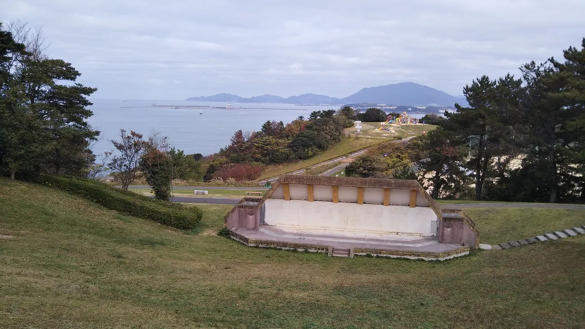
A land-tied island in Shimonoseki featuring heavy industrial sites, ancient petroglyphs, and the famous Ganryujima duel location.
What it is
- A land-tied island in Shimonoseki City surrounded by the Kanmon Straits.
- An industrial hub that merged with Shimonoseki City in 1933.
- A former quarantine station for cattle that operated until 1965.
- A 11.62 square kilometer area that became land-tied through reclamation in 1937.
What to see
- Ganryujima, the historic site of the duel between Musashi and Kojiro.
- Ancient petroglyphs discovered at the Hikoshima Sugita site in 1924.
- Fossils dating back 25 million years found within the island terrain.
- The Mitsubishi Heavy Industries Shimonoseki Shipyard located in the Enoura district.
- Heavy industrial zones located throughout the island landscape.
17
Hashima Island
YAMAGUCHI · PLACE 端島

A quiet inhabited island in the Seto Inland Sea National Park known for its fishing industry and local seafood dishes.
What it is
- A small inhabited island located within the Seto Inland Sea National Park.
- The island has been a part of Iwakuni City since 1940.
- Fishery is the primary industry for the few remaining residents on the island.
- The local community is centered around catches of rockfish, horse mackerel, and octopus.
What to see
- Mount Mukabe stands as the highest peak at 128 meters above sea level.
- The closed buildings of the former Hashima Elementary and Junior High Schools.
- Active fishing boats and coastal scenery typical of the Seto Inland Sea.
Getting there
- A regular ferry service operates between Iwakuni Port and the island.
18
Nagashima
YAMAGUCHI · PLACE 長島

An island in Yamaguchi Prefecture featuring historical sites, scenic beaches, and rare marine life accessible by bridge or ferry.
What it is
- An island in the Kumage archipelago facing the Suo-nada Sea.
- A historical location home to the Kamai Hachiman Shrine.
- Site of the Kaminoseki Daiba and Shiroyama Historical Park.
- A natural habitat for finless porpoises and horseshoe crabs.
What to see
- The observation deck located on Mount Kamari.
- Nakanoura swimming beach on the island coast.
- The Kaminoseki Bridge connecting to the Murotsu Peninsula.
- Rare shellfish species first discovered on the island shores.
Getting there
- A thirty-five minute ferry ride from Yanai Port to Kaminoseki Port.
- Access via the Kaminoseki Bridge from the Murotsu Peninsula.
19
Tsunoshima
YAMAGUCHI · PLACE 角島
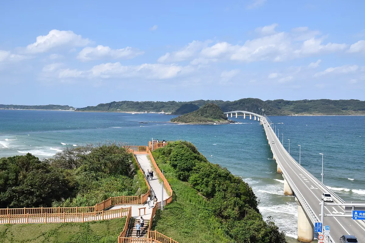
A scenic island in Yamaguchi featuring a historic British-designed lighthouse and one of Japan's longest toll-free bridges.
What it is
- A populated island located within the Kita-Nagato Kaigan Quasi-National Park.
- Home to a historic lighthouse first lit in 1876.
- The former site of a Japanese Army artillery battery.
- A filming location for the movie Four Days' Miracle.
What to see
- The 1,780-meter Tsunoshima Bridge connecting the island to the mainland.
- A lighthouse designed by Richard Henry Brunton featuring a first-order Fresnel lens.
- Natural colonies of Crinum latifolium flowers growing across the island.
- The Tsunoshima Nature Museum which opened in 2003.
Getting there
- Buses connect the island to Kottoi and Takibe stations.
20
Rokutō Islands
YAMAGUCHI · PLACE 六島諸島
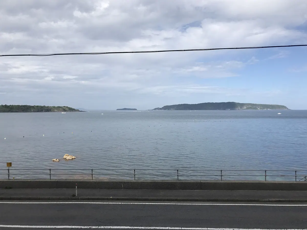
A volcanic archipelago of six islands in the Sea of Japan known for basalt cliffs and remote fishing village life.
What it is
- A group of six volcanic islands located within the Sea of Japan
- Part of the Kita-Nagato Kaigan Quasi-National Park and Hagi Geopark
- An archipelago consisting of three inhabited and three uninhabited islands
- A center for local tobacco and summer orange cultivation
What to see
- Volcanic terrain formed by the Abu Volcano Group
- Dramatic sea cliffs composed primarily of basalt rock
- Traditional agricultural landscapes featuring summer orange trees
- Remote island settlements on Oshima, Aishima, and Hitsushima
Getting there
- Regular ferry services connect Hagi Port to Oshima and Aishima