

20 Islands in Nagasaki worth your time
Japan Gems
41 Islands in Nagasaki, with what to see and how to get there.
Nagasaki has 41 islands on Japan Gems. Below are the 20 we can tell you the most about — each one written up in English from Japanese sources, with what to see and how to get there. See all islands in Nagasaki.
01
Wakamatsu Island
NAGASAKI · PLACE 若松島
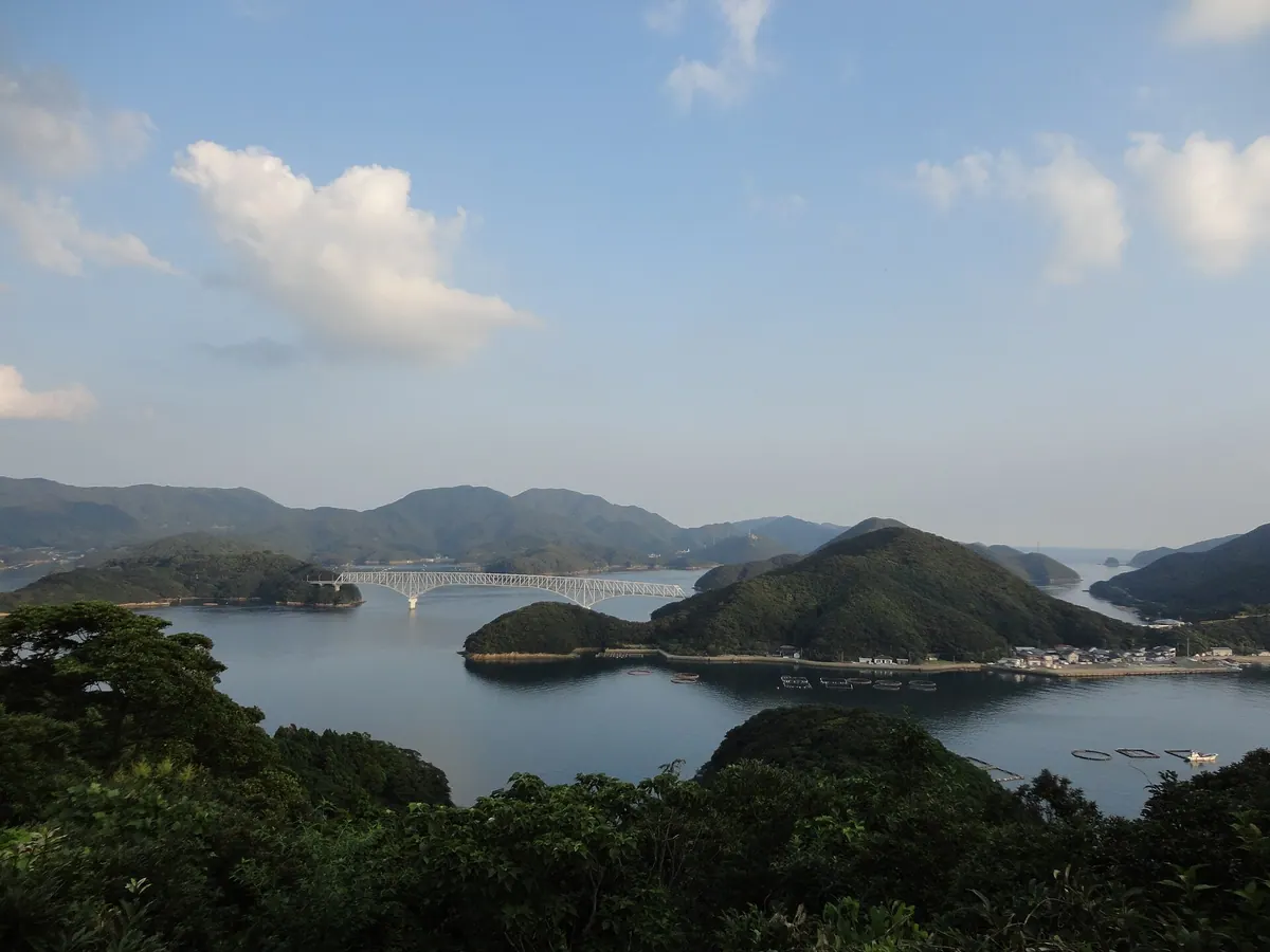
The fourth largest Goto island featuring historic churches, mountainous terrain, and scenic coastal views within Saikai National Park.
What it is
- The fourth largest island in the Goto archipelago located between Narushima and Nakadorijima.
- A mountainous region where fishing is the primary industry due to limited flat land.
- Part of Saikai National Park with a history of Christian migration dating back to 1772.
- A community belonging to Shinkamigoto Town with a population of over sixteen hundred people.
What to see
- The Taihei Church and Doinoura Church established by families from the Sotome area.
- Torigoe Mountain which stands as the highest peak at over three hundred meters.
- The Wakamatsu Bridge connecting the island to Nakadorijima via Kaminakajima.
- Coastal scenery and protected natural areas within the Saikai National Park boundaries.
Getting there
- Regular ferry services connect the island to Fukuejima and Narushima.
- Road access is available from Nakadorijima via the Wakamatsu Bridge.
02
Kabashima
NAGASAKI · PLACE 椛島
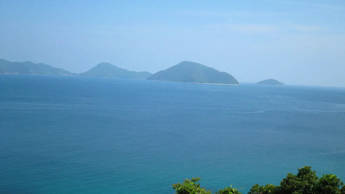
A mountainous fishing island in the Goto archipelago featuring a historic shrine and traditional tuna farming operations.
What it is
- The eighth largest island in the Goto archipelago of Nagasaki Prefecture.
- A mountainous landscape where eighty-five percent of the land is covered by peaks.
- A small fishing community with a population of approximately one hundred twenty-five people.
- A site surveyed by the famous cartographer Ino Tadataka in 1813.
What to see
- Kabashima Shrine which serves as a central spiritual site for the island.
- Active tuna farming and quarry operations located in the Motogama district.
- The local elementary and middle school buildings which are currently closed.
- Traditional fishing ports at Ifuki and Motogama where local industry operates.
When to go
- The annual festival at Kabashima Shrine takes place every October.
Getting there
- Passenger boats connect Fukue Port to the island ports of Ifuki and Motogama.
03
Takashima
NAGASAKI · PLACE 鷹島
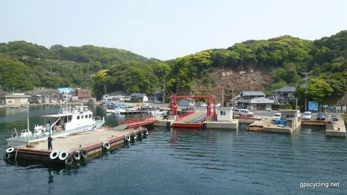
An island in Imari Bay where the Mongol invasions ended, featuring a bridge connection and significant underwater archaeological sites.
What it is
- A populated island covering sixteen square kilometers at the mouth of Imari Bay
- The historical site where the Mongol invasions of Japan came to an end
- An active source of basalt quarrying known locally as Ao stone
- Part of Matsuura City connected to the mainland by a bridge since 2009
What to see
- The Takashima Hizen Bridge connecting the island to Karatsu City
- Takashima Kanzaki underwater archaeological site containing remains of the Mongol fleet
- A confirmed sunken Mongol military ship located on the seabed nearby
- Three local ports that facilitate regular ferry services to the island
Getting there
- Cross the Takashima Hizen Bridge by vehicle from Karatsu City
- Access the island via regular ferry services running to three different ports
- Use a reservation-based shared taxi service operated by Takashima Taxi
04
Nakadōri Island
NAGASAKI · PLACE 中通島
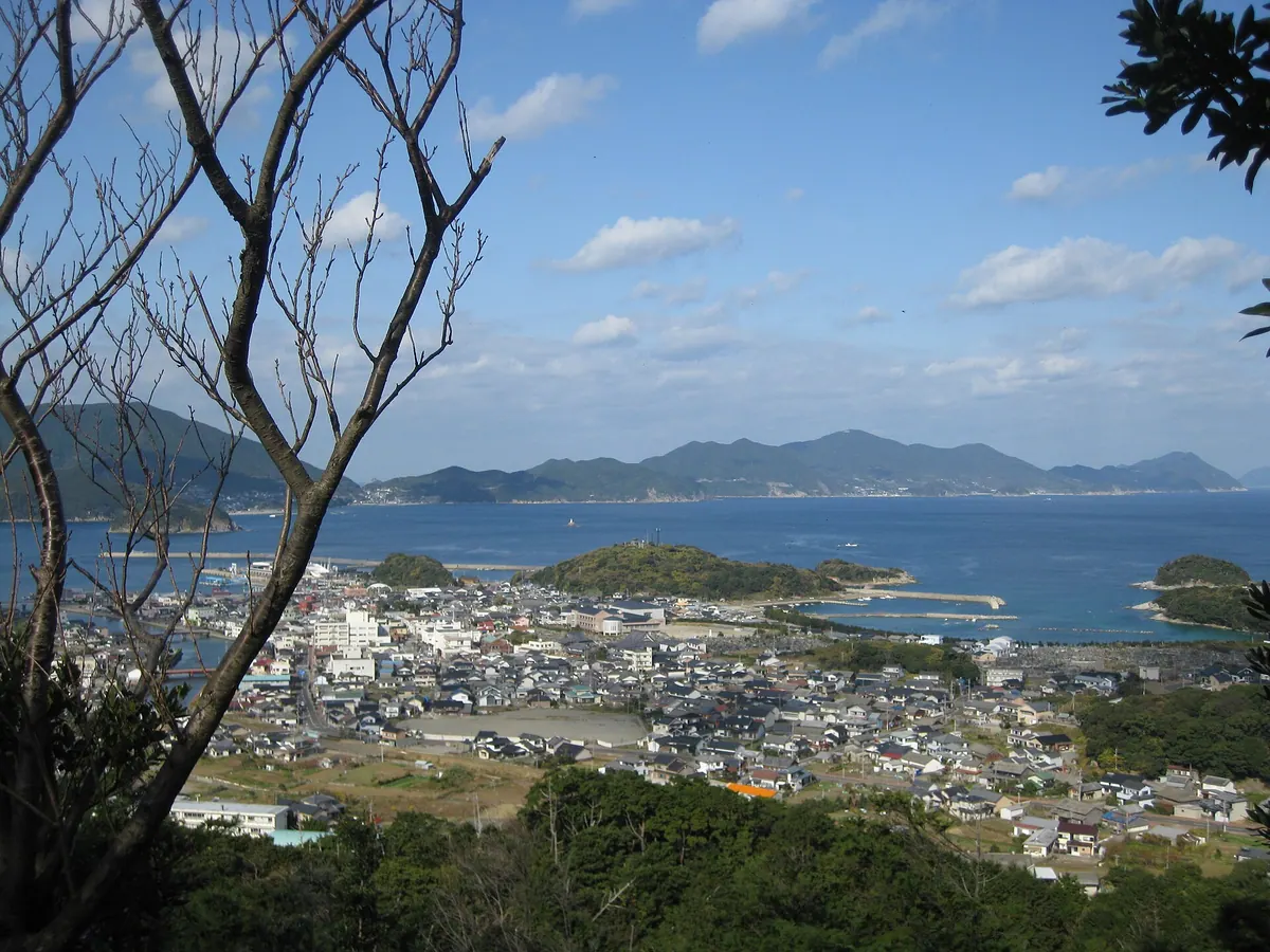
The second largest Goto island featuring twenty-nine historic Catholic churches and dramatic coastal cliffs accessible only by sea.
What it is
- The second largest island in the Goto archipelago within Nagasaki Prefecture.
- A mountainous landscape with Mount Ban reaching a peak of 442 meters.
- The entire land area belongs to the town of Shinkamigoto.
- An island connected to neighboring Wakamatsu and Kashiragasima by bridges.
What to see
- Twenty-nine Catholic churches scattered across the island landscape.
- Aosagauru Church which is a designated National Important Cultural Property.
- The Akadaki Cliffs recognized as a Nagasaki Prefecture natural monument.
- Wakamatsu Bridge and Kashiragasima Bridge connecting to nearby islands.
Getting there
- Access is available exclusively via sea routes from the mainland and nearby islands.
- Ferries operate regularly from Nagasaki, Sasebo, and Hakata ports.
- Boat connections are available from Fukue port to the island.
05
Takashima
NAGASAKI · PLACE 高島
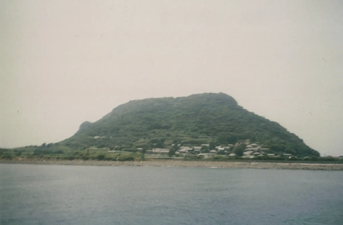
An inhabited island in the Kujukushima group featuring ancient ruins and local fish processing traditions.
What it is
- The second largest inhabited island within the Kujukushima island group.
- A fishing community known for its local specialty product called Takashima Chikuwa.
- Home to the Miyanomoto site containing Paleolithic and Jomon period ruins.
- A small island with a population of approximately two hundred people.
What to see
- Ancient ruins from the Paleolithic and Jomon periods at the Miyanomoto site.
- Local fish processing facilities producing traditional chikuwa.
- Coastal views of the surrounding Kitamatsuura Peninsula and Kujukushima islands.
- Rental electric bicycles are available for exploring the island terrain as of 2024.
Getting there
- A ferry connects Ainoura Port to the island in thirty minutes.
- The ferry service operates three round trips per day.
- Sea taxis can reach the island in approximately ten minutes.
06
Kuroshima
NAGASAKI · PLACE 黒島
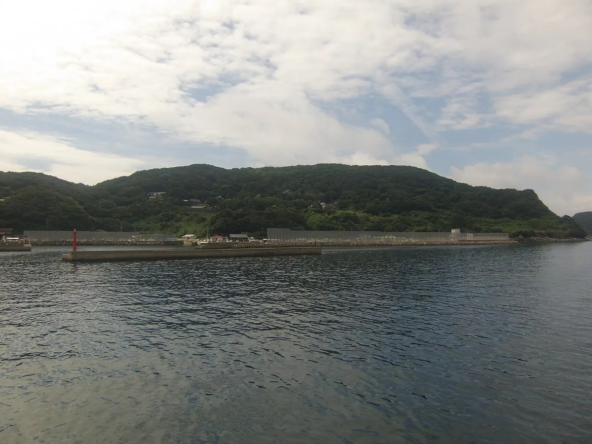
A UNESCO World Heritage island featuring a historic brick church and a unique community where eighty percent of residents are Catholic.
What it is
- The largest island in the Kujukushima archipelago and part of a UNESCO World Heritage site.
- A historic community where approximately eighty percent of the island residents are Catholic.
- A former horse breeding ground that was incorporated into Sasebo City in 1954.
- A rural landscape primarily supported by the local agriculture and fishing industries.
What to see
- Kuroshima Church, a National Important Cultural Property built in 1902.
- The Kushinohama Dike, which is a designated prefectural natural monument.
- Traditional stone walls and windbreaks found throughout the island landscape.
- A Catholic cemetery where traditional burials are still permitted today.
Getting there
- Ferries to the island depart from Ainoura Port in Sasebo.
- No public buses or taxis are available for transport once on the island.
- Official site
- kuroshimakanko.com
07
Matsu Island
NAGASAKI · PLACE 松島
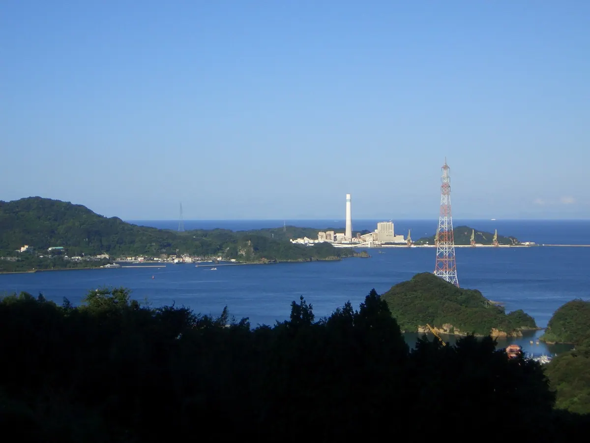
A former coal mining and whaling hub in Nagasaki now home to a thermal power plant and scenic coastal views.
What it is
- A populated island located one kilometer off the Nishisonogi Peninsula in Saikai City.
- A historic site for coal mining and whaling dating back to the seventeenth century.
- A former industrial powerhouse that once housed thirteen thousand residents during the mining peak.
- The current site of the Matsu Island Thermal Power Plant which opened in 1981.
What to see
- Mount Tomi stands as the highest peak on the island at 217 meters.
- Nagasaki Prefectural Road 199 provides a scenic route circling the entire coastline.
- The massive infrastructure of the operational thermal power plant.
- Remnants of the island's history as a major coal mining and whaling base.
Getting there
- Regular ferry services connect the island to Seto Port.
- Direct ferry routes are available for travelers arriving from Sasebo Port.
08
Iki Island
NAGASAKI · PLACE 壱岐島
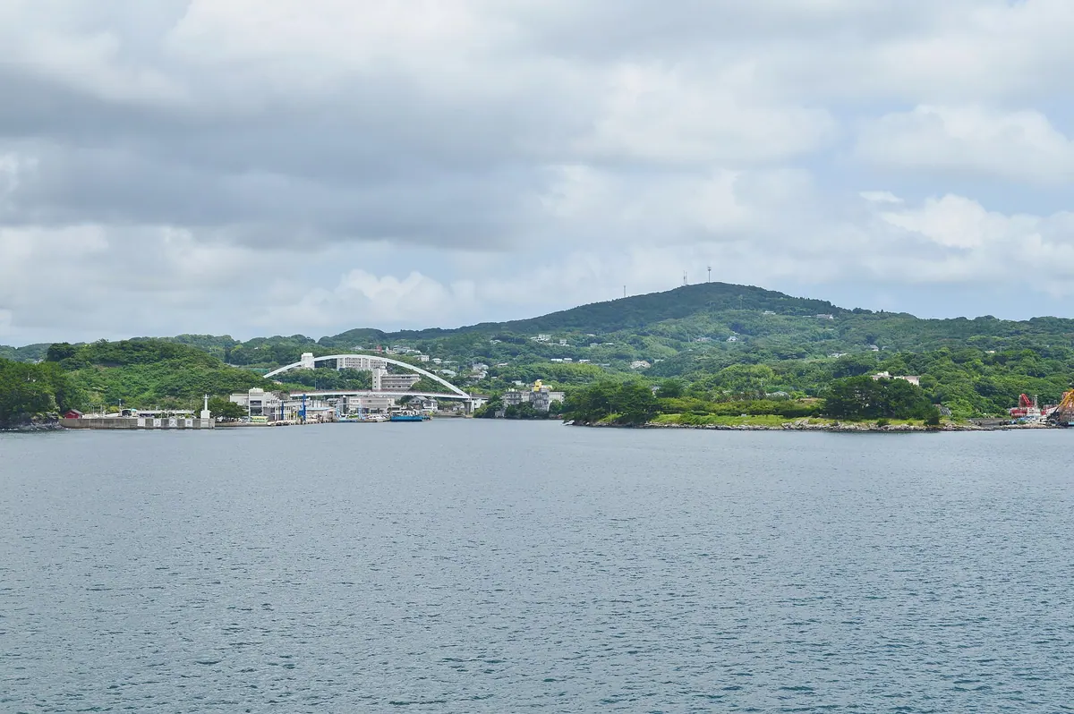
A historic island in Nagasaki featuring ancient archaeological sites, basaltic plateaus, and a protected tradition of barley shochu production.
What it is
- A large island in Nagasaki Prefecture located between Kyushu and Tsushima.
- Part of the Iki-Tsushima Quasi-National Park consisting mostly of basaltic lava plateaus.
- The birthplace of the meteorological term Haru-ichiban according to local history.
- A designated protected origin for the production of traditional barley shochu.
What to see
- The Haru-no-tsuji site which is designated as a National Special Historic Site.
- Takenotsuji peak reaching 212.8 meters above sea level as the highest point.
- Traditional female divers in the Yahata district wearing leotards for fishing.
- Ancient landscapes referred to in the Kojiki as Amenohitotsubashira.
Getting there
- Flights are available between Iki Airport and Nagasaki Airport.
- Ferries connect the island to Hakata Port and Karatsu East Port.
09
Uku Island
NAGASAKI · PLACE 宇久島
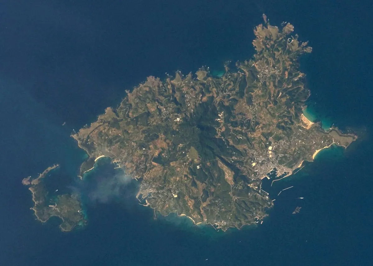
The northernmost Goto Island featuring volcanic landscapes, a historic lighthouse, and connections to the legendary Taira clan.
What it is
- The northernmost inhabited island of the Goto chain in Nagasaki Prefecture.
- A volcanic island with abundant groundwater used for local agriculture.
- Legendary settlement site of Taira no Iemori after the battle of Dan-no-ura.
- Home to a massive solar power plant project covering forty percent of the land.
What to see
- Mount Shiogatake stands as the highest peak at two hundred fifty-eight meters.
- Nagasakibana Lighthouse is a reinforced concrete structure built in 1959.
- Taira Port serves as the primary maritime gateway for the island.
- Local farms occasionally show signs of damage from invasive mainland wild boars.
Getting there
- Ferries and high-speed boats connect Taira Port to Sasebo and Hakata.
- Uku Kanko Bus operates a local transit route for travel around the island.
- Official site
- www.ukujima.com
10
Naru Island
NAGASAKI · PLACE 奈留島
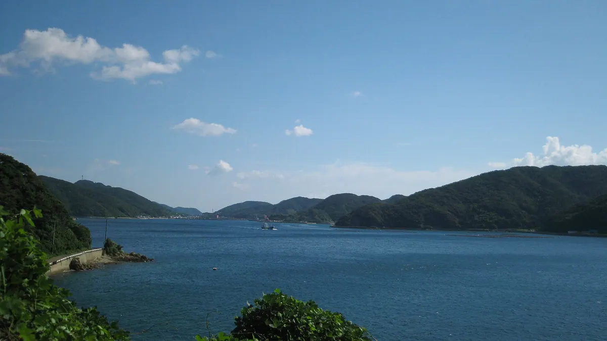
A UNESCO World Heritage island featuring a historic wooden church and unique geological formations within the Goto archipelago.
What it is
- A remote island in the Goto chain between Hisaka and Wakamatsu islands.
- Part of a UNESCO World Heritage site representing the region's Christian history.
- A former stopover point for ancient diplomatic missions to Ming China.
- The namesake location for the eagle ray species Aetobatus narutobiei.
What to see
- Egami Church, which is designated as a National Important Cultural Property.
- A monument dedicated to musician Yumi Matsutoya at Naru High School.
- Rare heart-shaped geological formations known as Japanese Twin Crystals.
- Coastal landscapes spanning approximately twenty-three square kilometers of land.
Getting there
- Ferries provide transport links from Nagasaki, Fukue, and Hakata ports.
- No airport exists on the island, requiring arrival by sea.
11
Kuroshima
NAGASAKI · PLACE 黒島
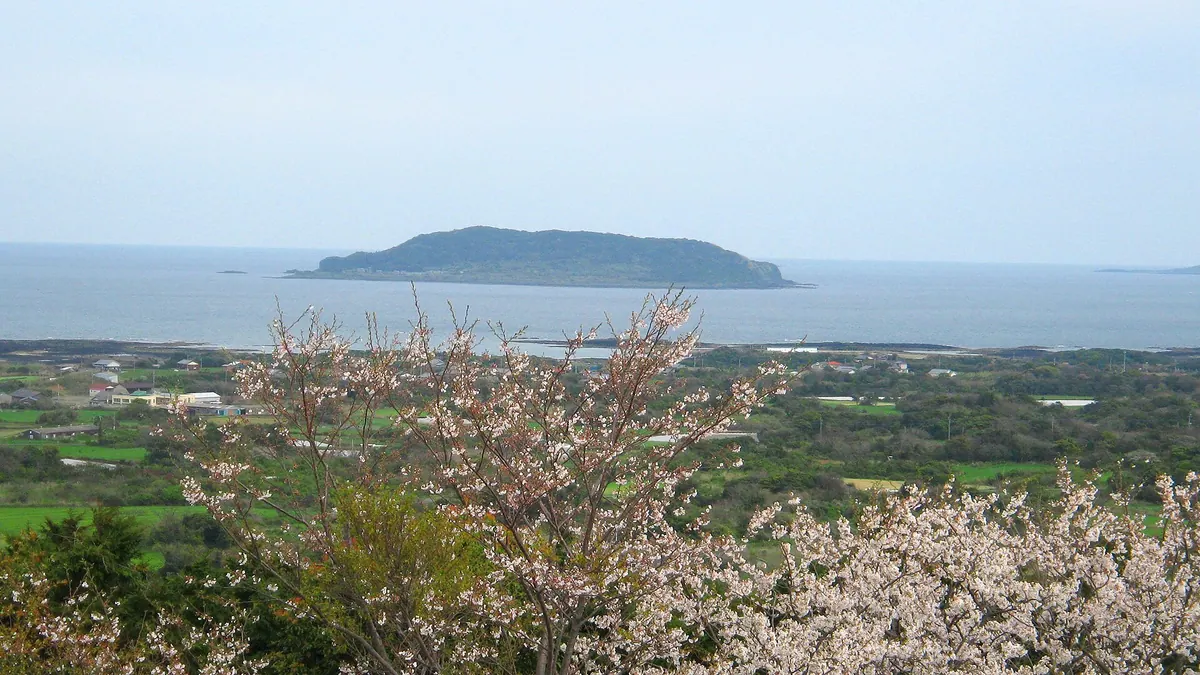
An uninhabited island featuring a preserved settlement of forty houses and a historic shrine accessible only by sea taxi.
What it is
- An island in Tomie Town that became completely uninhabited in July 2022
- A former settlement that once housed one hundred and ninety people in 1960
- The site where Uku Kakoi died in the year 1507
- A location where residents historically filtered rainwater due to no local water supply
What to see
- Approximately forty houses remaining from the original island settlement
- Kamo Shrine which enshrines the deity Wakeikazuchi no Mikoto
- The grounds of the local elementary school which closed in 1998
- Waters surrounding the island where local spiny lobsters are caught
Getting there
- Located seven kilometers east of Tomie Port
- Access requires hiring a private sea taxi from Fukue Island
- There are no scheduled ferry services currently operating to the island
12
Saganoshima
NAGASAKI · PLACE 嵯峨ノ島
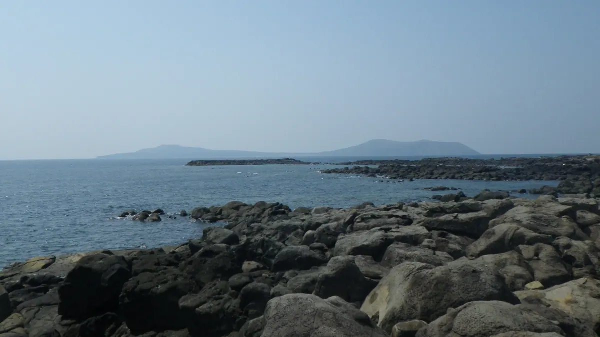
A volcanic island in Saikai National Park featuring dramatic sea cliffs, a historic church, and traditional Buddhist festival dances.
What it is
- A remote island consisting of two volcanoes named Odake and Medake.
- A former place of exile that is now part of Saikai National Park.
- A fishing community home to the Sagashima Church and Ono Shrine.
- The island is located four kilometers northwest of Fukue Island in Nagasaki.
What to see
- Volcanic sea cliffs on the western coast designated as natural monuments.
- Sagashima Church located within the Takebaru area of the island.
- Ono Shrine which enshrines the historical figure Tamanoura Osamu.
- Traditional landscapes shaped by the local fishing industry and volcanoes.
When to go
- August 14th to witness the traditional Omondee Buddhist dance.
Getting there
- Take a regular ferry from Kaizu Port for a fifteen minute journey.
13
Use Island
NAGASAKI · PLACE 鵜瀬島
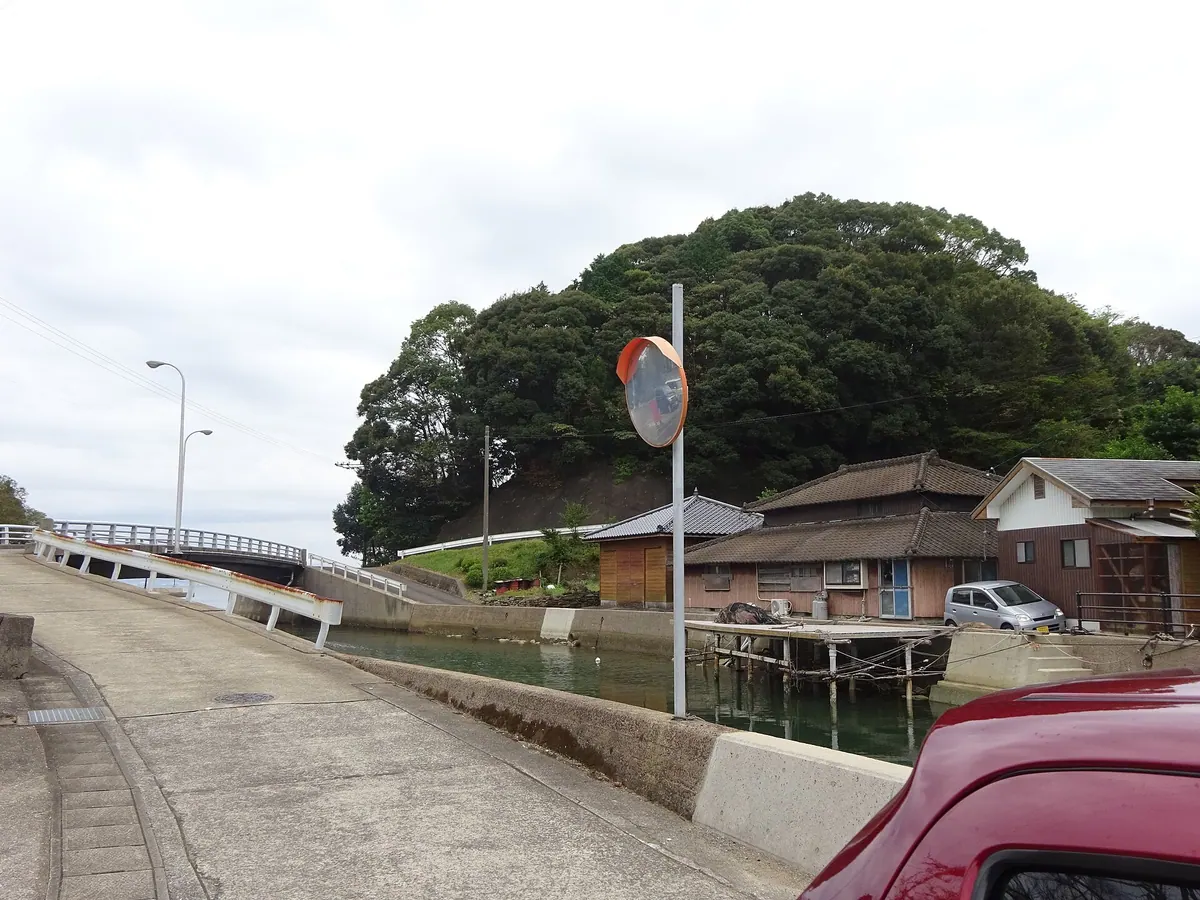
A small island in Omura Bay connected to the mainland by bridges, offering scenic views and easy coastal access.
What it is
- A coastal island located at the southern end of the Odo Peninsula in Nagasaki.
- The island sits within Omura Bay directly opposite the Koguchi settlement.
- It is connected to the mainland by the Koguchi Bridge across a narrow strait.
What to see
- The Koguchi Bridge which was originally built in 1948 and replaced in 1996.
- A dedicated pedestrian and bicycle bridge located to the west of the main bridge.
- The Koguchi Strait which measures approximately 10 meters in width.
- Views of the surrounding Omura Bay area from the island coastline.
Getting there
- Buses run from JR Nagasaki Station to the Koguchi Port area.
- Boats travel from Nagaura Port to Koguchi Port in 15 minutes.
- The island is accessible by car or bicycle via the Koguchi Bridge.
14
Ojikajima
NAGASAKI · PLACE 小値賀島
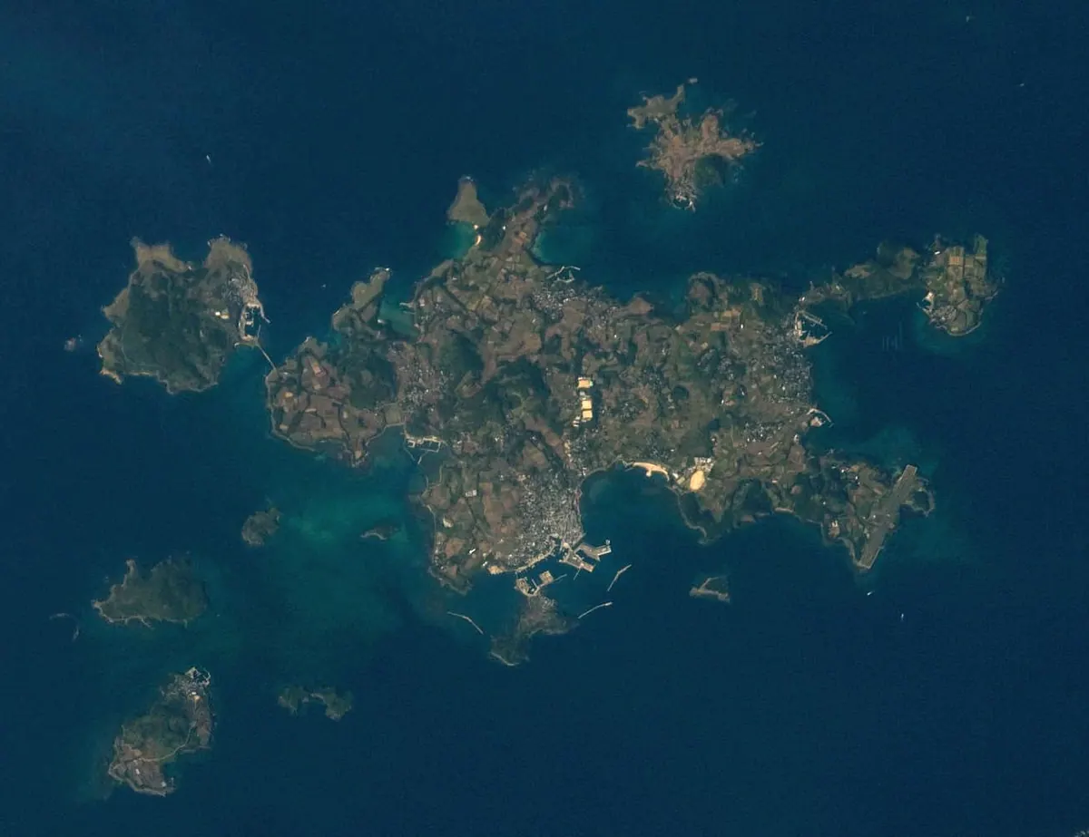
A remote island town in Nagasaki featuring a designated cultural landscape, historic pine groves, and underwater archaeological sites.
What it is
- A populated island town located fifty kilometers west of the Kyushu mainland.
- Two separate islands were joined together via land reclamation in 1334.
- The local landscape is officially designated as an Important Cultural Landscape.
- The island was formerly part of the Hirado Domain until the Meiji era.
What to see
- The Hime no Matsubara pine grove is a designated scenic spot.
- An underwater archaeological site is located in Maegata Bay.
- Bridges connect the main island to nearby Madarajima and Kuroshima.
- The local scenery includes traditional landscapes preserved across the island.
Getting there
- Ferries connect Fuefuki Port to the cities of Sasebo and Hakata.
- Ojika Kotsu operates a local bus service for travel across the island.
- Official site
- ojikajima.jp
15
Irohajima
NAGASAKI · PLACE いろは島
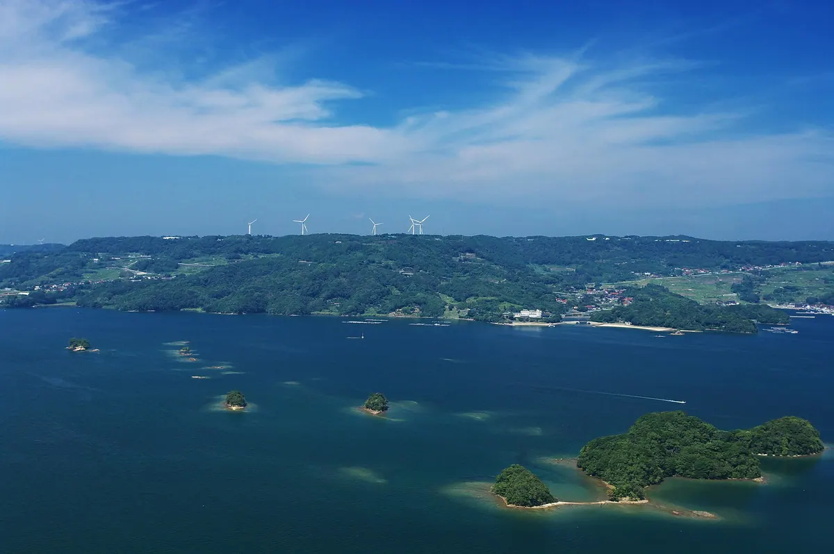
A cluster of forty-eight uninhabited islands in Imari Bay offering scenic coastal views, sea kayaking, and a beach park.
What it is
- A group of uninhabited islands named after the forty-eight characters of the Iroha alphabet
- Part of the Genkai Quasi-National Park located between Karatsu and Matsuura
- A center for local pearl farming and natural oyster harvesting in the surrounding waters
- A protected natural area featuring the thirty-six meter high Shimayamajima island
What to see
- Major islands including Bentenjima, Matsushima, and Takenokojima scattered across the bay
- The Imari Hirase Lighthouse located within the Nagasaki Prefecture waters
- A drawbridge connecting the mainland to the island of Shimayamajima
- Flower and Adventure Island park featuring a beach with public facilities
- Sea kayaking excursions organized by local non-profit organizations around the archipelago
16
Ike Island
NAGASAKI · PLACE 池島
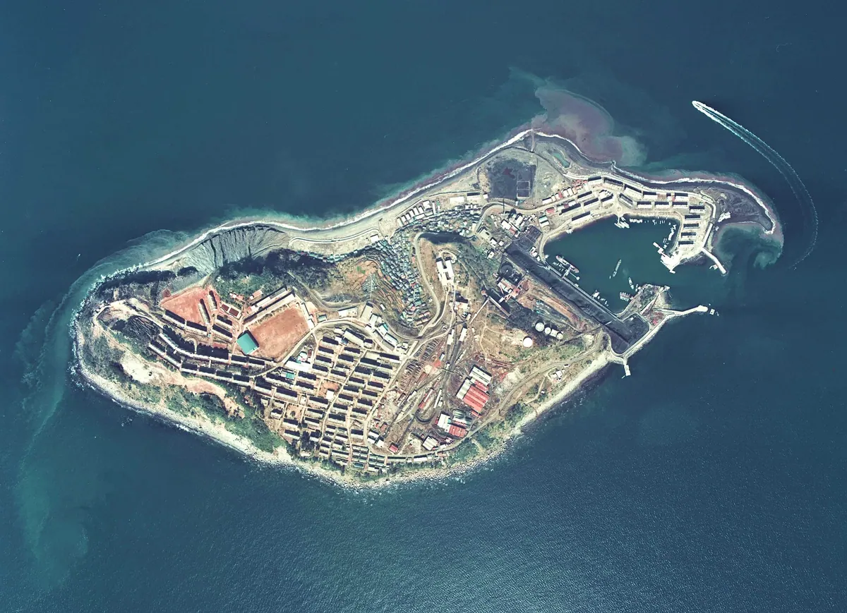
A former coal mining island near Nagasaki featuring preserved industrial tunnels and a small community of remaining residents.
What it is
- A small island located seven kilometers west of the Nishisonogi Peninsula in Nagasaki.
- A former coal mining hub where production began in 1959 and ended in 2001.
- A community that once housed 7700 people, now home to just over 100 residents.
- An industrial site belonging to Nagasaki City that remains accessible to the public.
What to see
- Former mine tunnels accessible via a guided trolley train tour.
- Nagasaki Prefectural Road 216 which circles the entire island.
- A combined elementary and junior high school serving the local population.
- Wild boars that have inhabited the island landscape since approximately 2011.
Getting there
- Ferry routes connect the island to Konoura, Seto, and Sasebo ports.
17
Hisaka Island
NAGASAKI · PLACE 久賀島
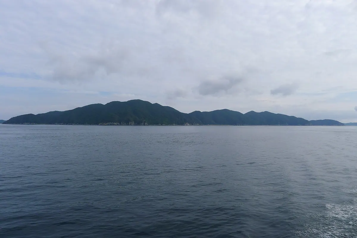
A UNESCO-listed island in the Goto chain featuring a historic wooden church and a landscape shaped by Hidden Christian history.
What it is
- A 37 square kilometer island in the Goto chain of Nagasaki Prefecture.
- A designated Important Cultural Landscape that served as a refuge for Hidden Christians from 1797.
- The site where the Goto Kuzure religious persecution began in 1868.
- A former base for Wako pirates and a port for Kentoshi ships in the eighth century.
What to see
- The Former Gorin Church which is a registered UNESCO World Heritage site.
- A horseshoe-shaped coastline featuring distinct rias topography.
- Native forests consisting of Yabu-tsubaki camellia trees across the island.
- Tanoura Port where historic diplomatic ships once docked.
Getting there
- Ferries and high-speed boats connect Fukue Island to Tanoura Port.
18
Takashima
NAGASAKI · PLACE 高島
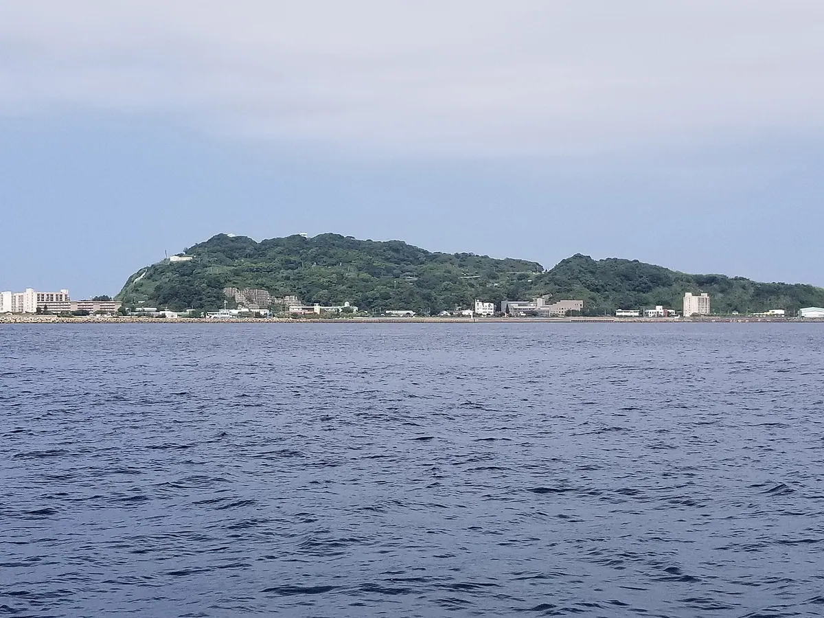
A former coal mining island near Nagasaki featuring a UNESCO World Heritage shaft and a dedicated industrial history museum.
What it is
- An island off the Nagasaki Peninsula developed for coal mining by Thomas Glover.
- A site of industrial heritage where the coal mine operated until November 1986.
- A small island community now known for greenhouse tomato cultivation.
What to see
- The Hokkei Well Shaft which is a designated UNESCO World Heritage site.
- The Nagasaki City Takashima Coal Museum documenting the island's mining history.
- Mount Gongen which serves as the highest peak at 114 meters.
- Greenhouses used for the local cultivation of tomatoes.
Getting there
- High-speed boats reach the island from Nagasaki Port in 35 minutes.
- The Nagasaki City Community Bus provides transportation once you arrive on the island.
- Official site
- www.kanko-takashima.com
19
Kashiragashima
NAGASAKI · PLACE 頭ヶ島
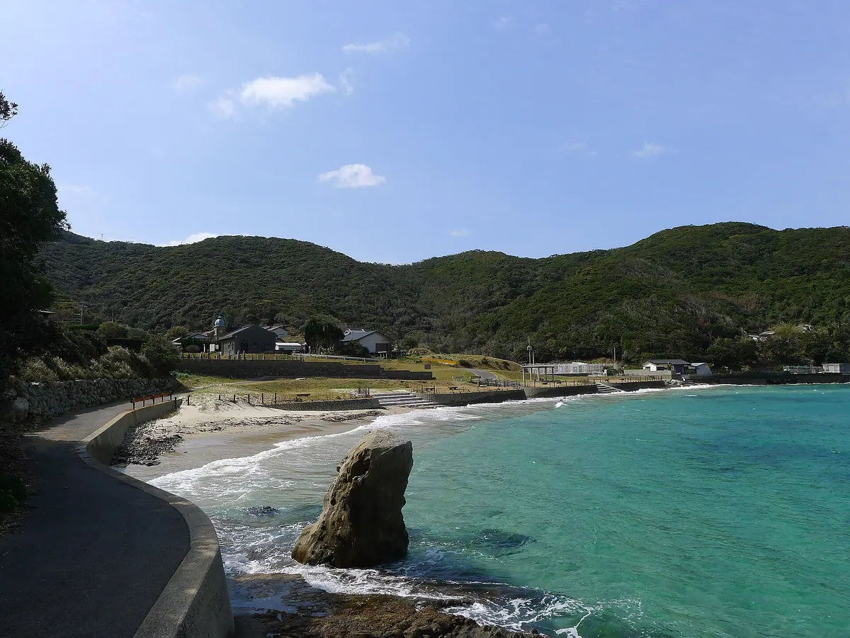
A UNESCO World Heritage island featuring a rare stone church built by Hidden Christians in a National Important Cultural Landscape.
What it is
- A UNESCO World Heritage site and National Important Cultural Landscape in Nagasaki.
- A former settlement for Hidden Christians who moved to the island in the 19th century.
- An island covering 1.86 square kilometers connected to Nakadori Island by a bridge.
- Home to archaeological sites dating back to the Jomon and Yayoi periods.
What to see
- The Kashiragashima Church, a stone structure completed in 1919 using local sandstone.
- A Catholic cemetery located directly next to the stone church.
- The Kashiragashima Bridge which has connected the islands since 1981.
- Kamigoto Airport situated on the eastern part of the island.
- The Black Wood Pigeon, a protected natural monument that lives on the island.
20
Fukue Island
NAGASAKI · PLACE 福江島
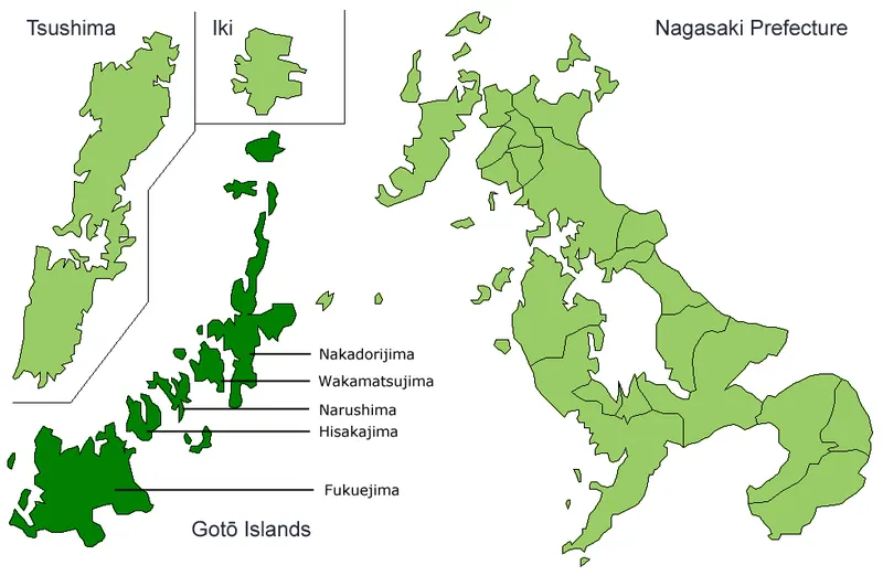
The largest of the Goto Islands, featuring historic Catholic churches, volcanic landscapes, and a legacy of ancient maritime trade.
What it is
- The largest island in the Goto archipelago within Nagasaki Prefecture.
- A historic stopover point for Japanese missions traveling to Tang China.
- Home to a population of over thirty thousand residents within Goto City.
- A landscape defined by the active Fukue Volcano Group and subtropical marine climate.
What to see
- Fourteen Catholic churches scattered across the island landscape.
- Mount Tetegatake, the highest peak on the island at 461 meters.
- Volcanic formations belonging to the designated Fukue Volcano Group.
Getting there
- Jetfoils depart from Nagasaki Port and reach the island in 85 minutes.
- Fukue Airport provides flight connections from Nagasaki and Fukuoka.