Wakamatsu Island
若松島
The fourth largest Goto island featuring historic churches, mountainous terrain, and scenic coastal views within Saikai National Park.
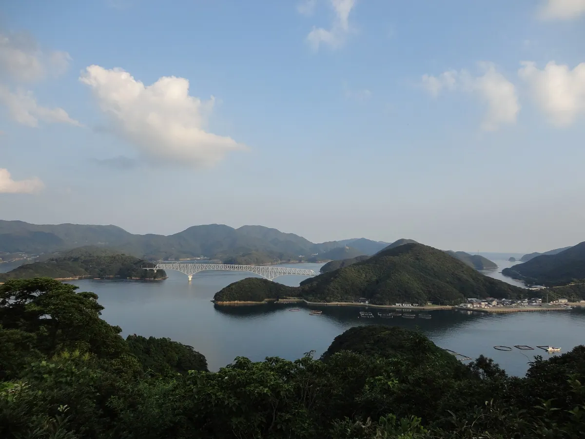
What it is
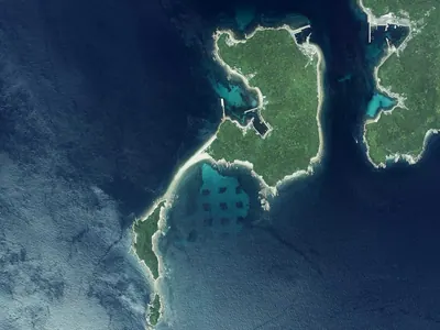
- The fourth largest island in the Goto archipelago located between Narushima and Nakadorijima.
- A mountainous region where fishing is the primary industry due to limited flat land.
- Part of Saikai National Park with a history of Christian migration dating back to 1772.
- A community belonging to Shinkamigoto Town with a population of over sixteen hundred people.
What to see
- The Taihei Church and Doinoura Church established by families from the Sotome area.
- Torigoe Mountain which stands as the highest peak at over three hundred meters.
- The Wakamatsu Bridge connecting the island to Nakadorijima via Kaminakajima.
- Coastal scenery and protected natural areas within the Saikai National Park boundaries.
Getting there
- Regular ferry services connect the island to Fukuejima and Narushima.
- Road access is available from Nakadorijima via the Wakamatsu Bridge.
Notes written by Japan Gems from facts in Japanese Wikipedia.
Where it is
Wakamatsu Island Open in Google Maps
この施設の関係者の方へ
このページは公開情報をもとに Japan Gems が作成し、訪日外国人向けに英語で掲載しています。 写真や情報の追加・修正を承っています。お店の写真に差し替えることもできます。
このページの情報を更新する