Pinneshiri
ピンネシリ
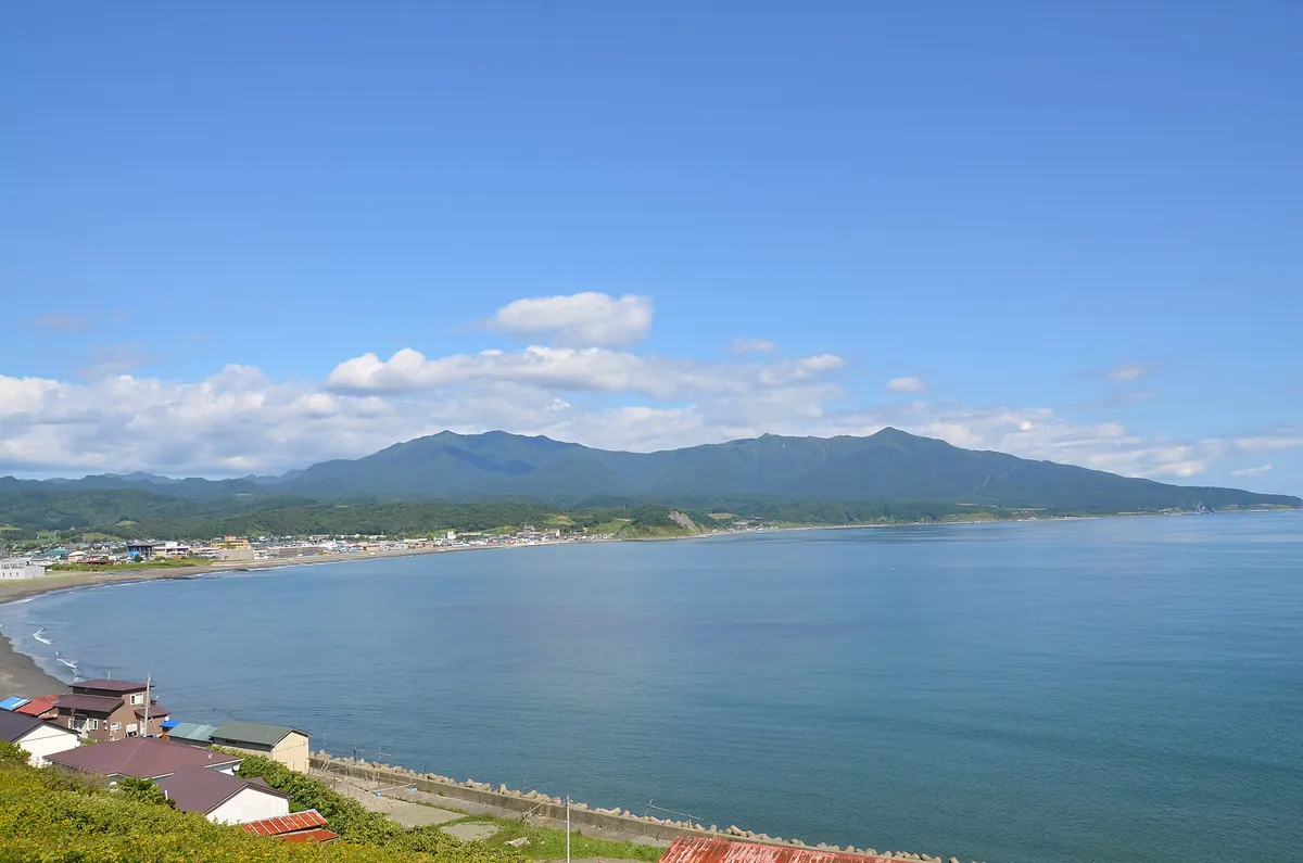
A 957-meter peak in Hokkaido's Samani Town offering a day-trip hike through the Mount Apoi Geopark landscape.
What it is
- A mountain standing at an elevation of 957.7 meters in Samani Town.
- The name originates from the Ainu word meaning male mountain.
- A peak situated on the ridge of Mount Rakko north of Mount Apoi.
- The summit features a third-class triangulation point for visitors to find.
What to see
- A maintained hiking trail leading through the mountain landscape to the summit.
- The peak of Mount Yoshida which is passed along the climbing route.
- Views from the ridge connecting this peak to Mount Rakko.
When to go
- The round trip to the summit can be completed in a single day.
Getting there
- One hiking route begins at the Mount Apoi Geopark Center.
- Access the summit via the Samani Oizumi forest road starting from Shintomi-goe.
Notes written by Japan Gems from facts in Japanese Wikipedia.
Where it is
Pinneshiri Open in Google Maps
この施設の関係者の方へ
このページは公開情報をもとに Japan Gems が作成し、訪日外国人向けに英語で掲載しています。 写真や情報の追加・修正を承っています。お店の写真に差し替えることもできます。
このページの情報を更新する