Mount Fude
筆ノ山
This 296-meter peak in Kagawa resembles a brush tip and offers a historic hiking route through the Gogakusan mountain range.
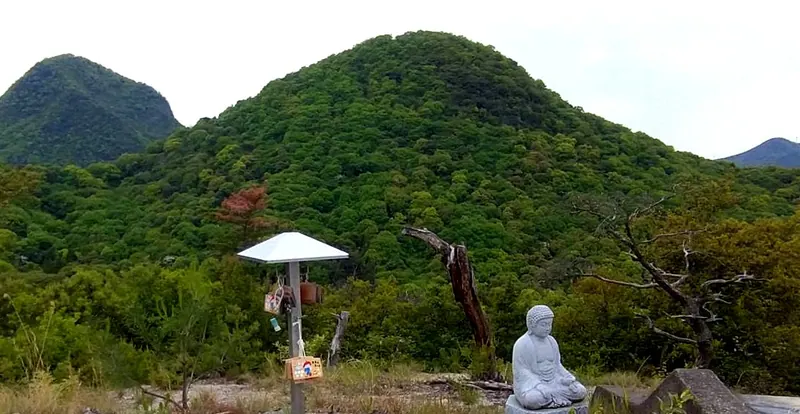
What it is
- A 296-meter mountain peak located in Zentsuji City, Kagawa Prefecture.
- One of the five peaks that comprise the Gogakusan mountain range.
- Named for its shape which resembles the tip of a writing brush.
- Artillery units used the mountain for target practice during the Bakumatsu period.
What to see
- The summit situated between Mount Koshiki and Mount Gahaishi.
- Views from the peak also known locally as Dondoyama.
- The Hiratani trailhead located at an elevation of 77 meters.
Getting there
- The summit is a 35-minute hike from the Osaka Pass.
- Small parking area for two or three cars at Osaka Pass.
Notes written by Japan Gems from facts in Japanese Wikipedia.
Where it is
Mount Fude Open in Google Maps
この施設の関係者の方へ
このページは公開情報をもとに Japan Gems が作成し、訪日外国人向けに英語で掲載しています。 写真や情報の追加・修正を承っています。お店の写真に差し替えることもできます。
このページの情報を更新する