Lake Yunoko
湯ノ湖
A high-altitude lake formed by volcanic activity, offering a scenic hiking trail and a dramatic waterfall at its southern edge.
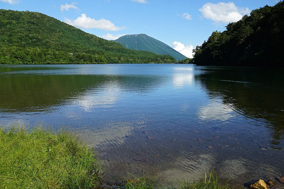
What it is
- A volcanic lake formed by the eruption of Mount Mitsudake in western Nikko City.
- A designated Ramsar site sitting at 1478 meters above sea level.
- A body of water fed by Mount Nikko-Shirane and Nikko Yumoto Onsen.
- A natural basin with a circumference of approximately three kilometers.
What to see
- A hiking trail that allows visitors to walk the entire perimeter of the lake.
- Yutaki Falls located at the southern end where the lake water descends.
- The Usagijima peninsula extending into the water.
- Ice rescue training conducted by the Japan Coast Guard on the frozen surface.
When to go
- February to observe specialized ice rescue training exercises.
Getting there
- Take a bus from Nikko Station to the Yumoto Onsen stop.
- Drive via National Route 120 starting from the Kiyotaki Interchange.
Notes written by Japan Gems from facts in Japanese Wikipedia.
Where it is
Lake Yunoko Open in Google Maps
この施設の関係者の方へ
このページは公開情報をもとに Japan Gems が作成し、訪日外国人向けに英語で掲載しています。 写真や情報の追加・修正を承っています。お店の写真に差し替えることもできます。
このページの情報を更新する