Kabutojima
甲島
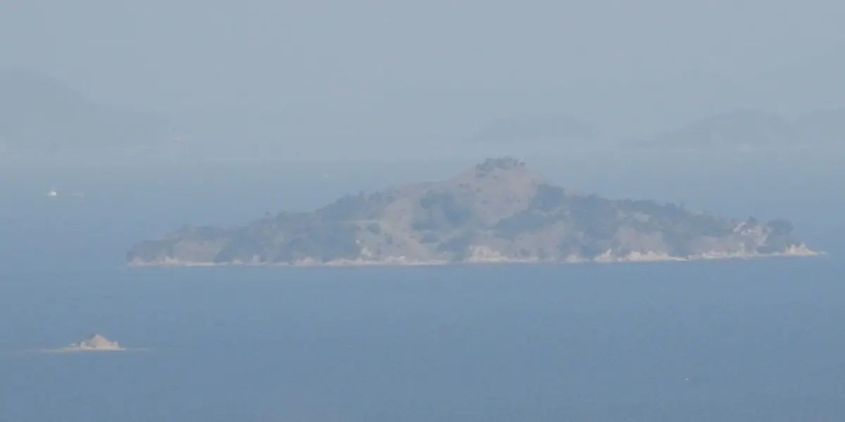
An uninhabited island in the Seto Inland Sea known for its helmet-like shape and historical military use.
What it is
- An uninhabited island covering 0.14 square kilometers in the Seto Inland Sea.
- The island name originates from its distinct helmet-like shape.
- The Ministry of Interior established the prefectural border here in 1879.
- The Japanese Navy previously utilized the island for military purposes.
What to see
- An unused United States military helipad located on the island.
- The highest point on the island reaching 101.54 meters.
- Geological formations consisting of Cretaceous biotite granite.
- Views of the surrounding waters used for sardine bottom trawling.
Notes written by Japan Gems from facts in Japanese Wikipedia.
Where it is
Kabutojima Open in Google Maps
この施設の関係者の方へ
このページは公開情報をもとに Japan Gems が作成し、訪日外国人向けに英語で掲載しています。 写真や情報の追加・修正を承っています。お店の写真に差し替えることもできます。
このページの情報を更新する