Mount Owari Haku
白山
A 260-meter peak in Komaki featuring a summit shrine, forest park, and panoramic views of Nagoya and the Aichi Canal.
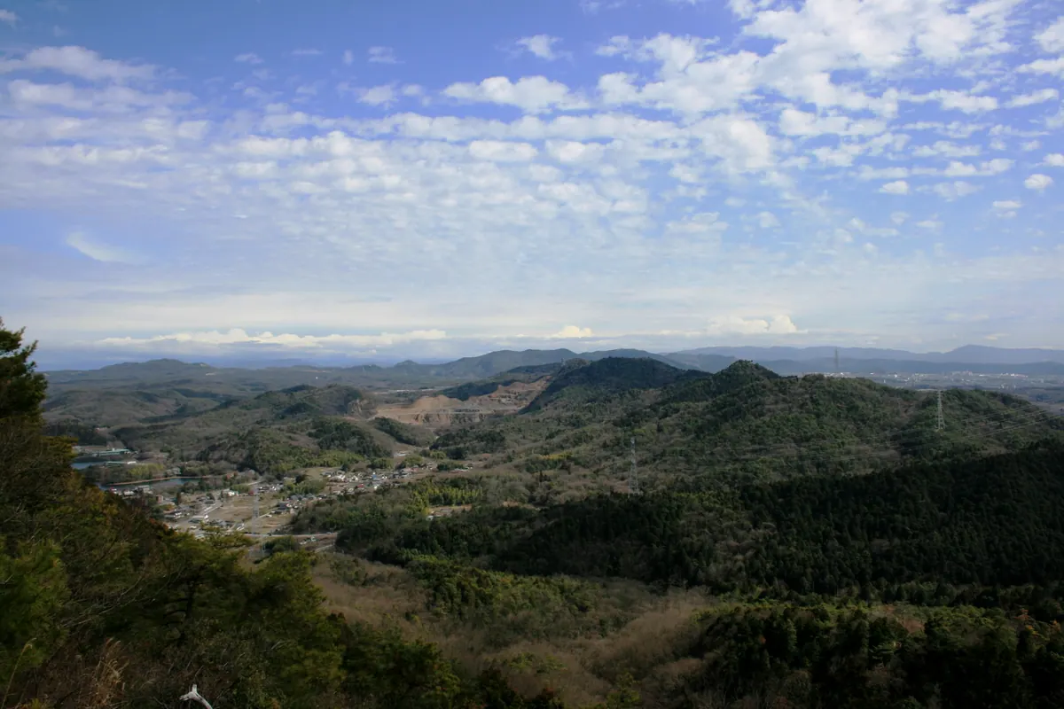
What it is
- One of the Three Mountains of Owari located in northeastern Komaki City.
- A mountain standing approximately 260 meters above sea level.
- Home to the Fureai no Mori forest park which opened in October 1995.
- Site of the Hakusan Shrine situated at the mountain summit.
What to see
- Hakusan Shrine located at the highest point of the mountain.
- Panoramic views overlooking Tokadai New Town and Nagoya City.
- The Aichi Canal running from the northwest to the southeast.
- Iruka Pond situated on the northern side of the mountain.
- A third-class triangulation point set on the western peak.
When to go
- Visit at night for popular photography opportunities of the city lights.
Getting there
- Take a bus to the Onsuipuru-mae bus stop.
- Find the trailhead at the heated pool second parking lot.
Notes written by Japan Gems from facts in Japanese Wikipedia.
Where it is
Mount Owari Haku Open in Google Maps
この施設の関係者の方へ
このページは公開情報をもとに Japan Gems が作成し、訪日外国人向けに英語で掲載しています。 写真や情報の追加・修正を承っています。お店の写真に差し替えることもできます。
このページの情報を更新する