

20 Mountains in Aichi worth your time
Japan Gems
31 Mountains in Aichi, with what to see and how to get there.
Aichi has 31 mountains on Japan Gems. Below are the 20 we can tell you the most about — each one written up in English from Japanese sources, with what to see and how to get there. See all mountains in Aichi.
01
Mount Komaki
AICHI · PLACE 小牧山
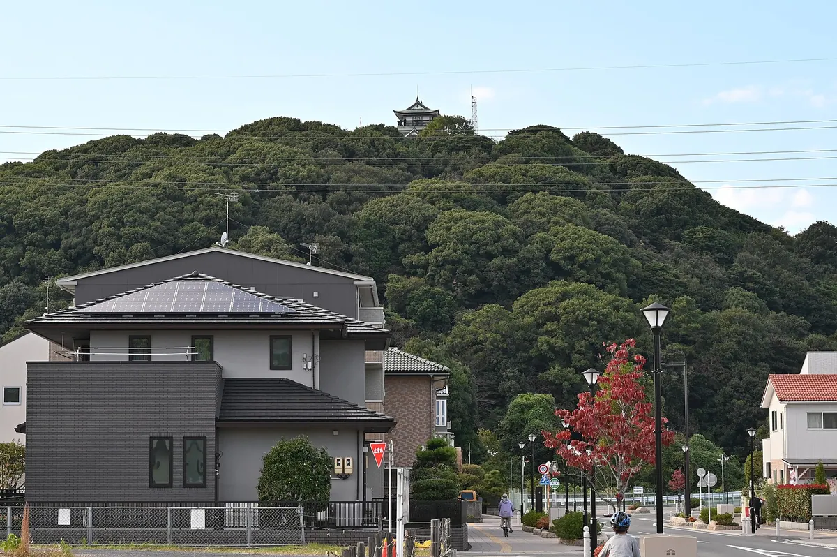
A historic 86-meter mountain featuring a reconstructed castle, museum, and archaeological ruins from the era of Oda Nobunaga.
What it is
- An 86-meter-high mountain in Aichi Prefecture designated as a National Historic Site.
- Site of Komakiyama Castle built by Oda Nobunaga in 1563.
- A 21-hectare park used by Tokugawa Ieyasu during the Battle of Komaki-Nagakute.
- The mountain was donated to the nation by Tokugawa Yoshichika.
What to see
- A castle-style building constructed in 1967 housing the Komaki City Historical Museum.
- The Rekishiru Komaki information center located at the base of the mountain.
- Archaeological remains of triple stone walls that once surrounded the original castle.
- Panoramic views from the summit museum across the surrounding landscape.
When to go
- Spring is popular for viewing the famous cherry blossoms on the mountain slopes.
Getting there
- Local buses stop at the Komaki City Hall or Komakiyama stations.
- Official site
- www.komakiyama.com
02
Mount Owari Haku
AICHI · PLACE 白山
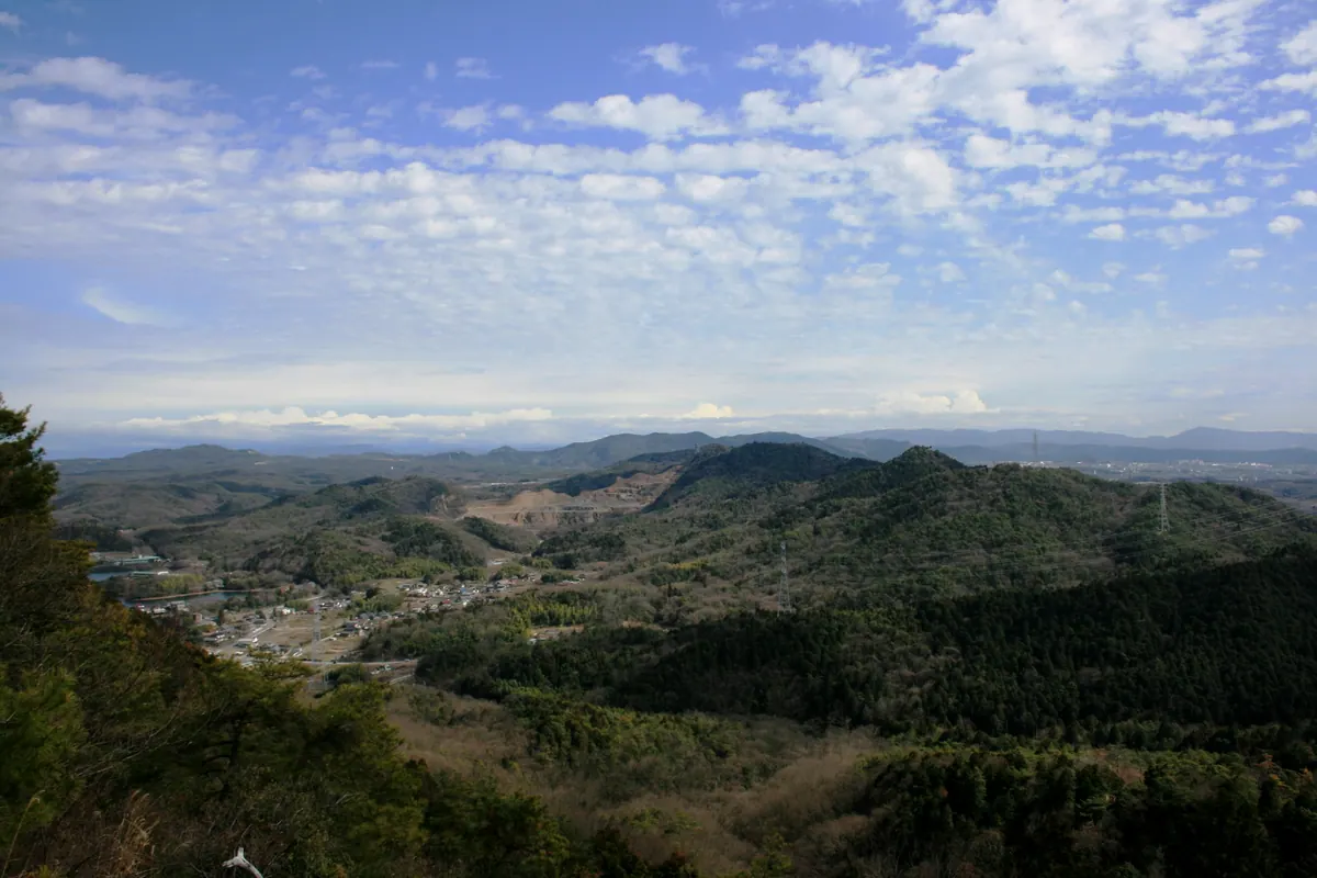
A 260-meter peak in Komaki featuring a summit shrine, forest park, and panoramic views of Nagoya and the Aichi Canal.
What it is
- One of the Three Mountains of Owari located in northeastern Komaki City.
- A mountain standing approximately 260 meters above sea level.
- Home to the Fureai no Mori forest park which opened in October 1995.
- Site of the Hakusan Shrine situated at the mountain summit.
What to see
- Hakusan Shrine located at the highest point of the mountain.
- Panoramic views overlooking Tokadai New Town and Nagoya City.
- The Aichi Canal running from the northwest to the southeast.
- Iruka Pond situated on the northern side of the mountain.
- A third-class triangulation point set on the western peak.
When to go
- Visit at night for popular photography opportunities of the city lights.
Getting there
- Take a bus to the Onsuipuru-mae bus stop.
- Find the trailhead at the heated pool second parking lot.
03
Mount Miyaji
AICHI · PLACE 宮路山
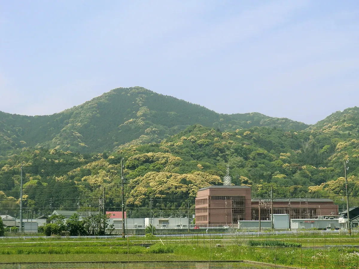
A 361-meter peak featuring a historic shrine, seasonal shrubs, and panoramic views of Mikawa Bay and Toyohashi Port.
What it is
- A mountain standing 361 meters tall in Toyokawa City, Aichi Prefecture.
- Home to the Miyaji Tenjin Shrine and its inner sanctuary near the summit.
- Mentioned in the historical Sarashina Diary as far back as the year 1020.
- A natural habitat for the Enkianthus ciliate shrubs.
What to see
- Panoramic views of Mikawa Bay and Toyohashi Port from the summit.
- A stone monument inscribed with Miyaji Mountain Sacred Site at the peak.
- A hiking trail that connects the summit to nearby Mount Goi.
- The inner sanctuary of the shrine dedicated to rainmaking rituals.
When to go
- Visit during the local rainmaking festival held at the shrine.
Getting there
- The trailhead is a 20-minute walk from Meiden Akasaka Station.
- Parking lots are a 10-minute drive from the Otowa-Gamagori Interchange.
04
Mount Aioi
AICHI · PLACE 相生山
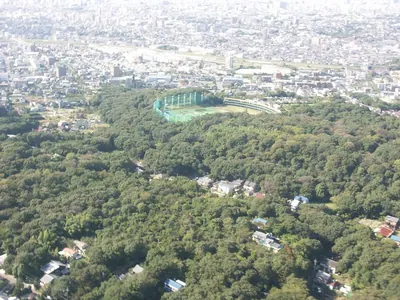
A 60-meter hill in Nagoya featuring wartime craters, ancient ruins, and a protected forest habitat for fireflies and tanuki.
What it is
- A 60-meter high hill in Nagoya situated between the Tenpaku and Ogawa rivers.
- The Aioi Mountain Oasis Forest opened here in March 1998 covering 123.7 hectares.
- A natural site composed of kaolin clay and ancient red-yellow soil.
- A historical area containing ruins dating from the Paleolithic period to modern times.
What to see
- Nine remaining bomb craters from World War II scattered across the hill.
- The Postcard Tower which was originally built on the site in 1928.
- Local wildlife including fireflies and tanuki that inhabit the protected forest area.
- Environmental protection zones where road construction was suspended to preserve the mountain.
Getting there
- Accessible via the Naruko Kita and Aioiyama subway stations.
- Nine different bus stops provide access to the surrounding forest area.
05
Mount Amagoi
AICHI · PLACE 雨乞山 (愛知県)
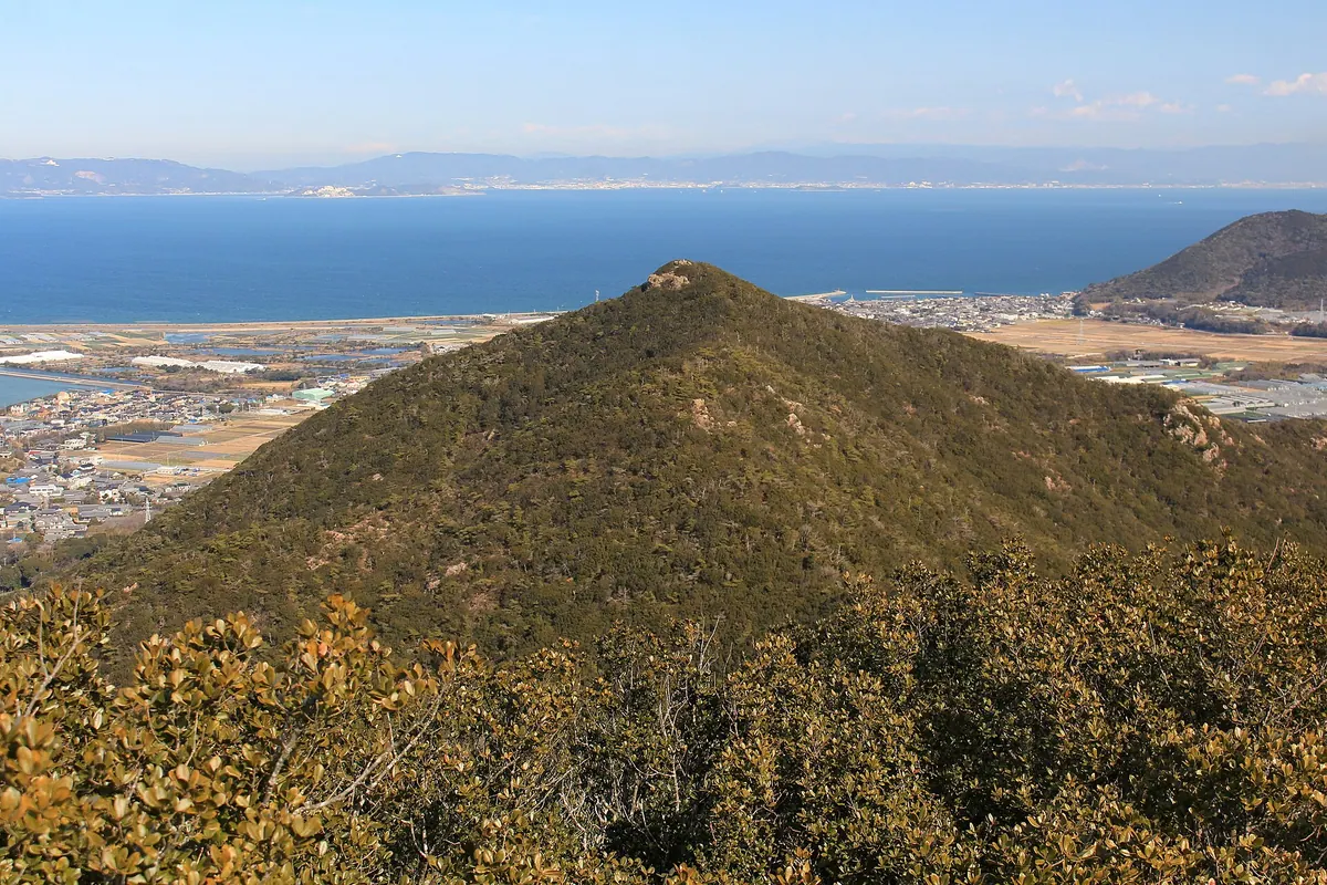
A 233-meter peak in Mikawa-wan Quasi-National Park featuring a rare magnolia habitat, a summit shrine, and peninsula hiking trails.
What it is
- A 233-meter mountain designated as part of Mikawa-wan Quasi-National Park.
- One of the selected Atsumi Peninsula 10 Mountains featuring Jurassic chert geology.
- Home to a nationally designated habitat for the Star Magnolia tree.
- Site of Amagoi Shrine at the summit enshrining Hachidai Ryuo-shin and a stone sword.
What to see
- The Atsumi Trail hiking path which crosses along the mountain ridge.
- Senpuku-ji Temple located at the foot of the mountain enshrining Daikokuten.
- Rare Star Magnolia trees growing in their protected natural habitat.
- Amagoi Shrine and its enshrined stone sword at the highest point.
When to go
- The annual mountain festival held on the first Saturday of June.
Getting there
- The mountain is located 12 kilometers away from Mikawa-Tahara Station.
06
Mount Hongu
AICHI · PLACE 本宮山
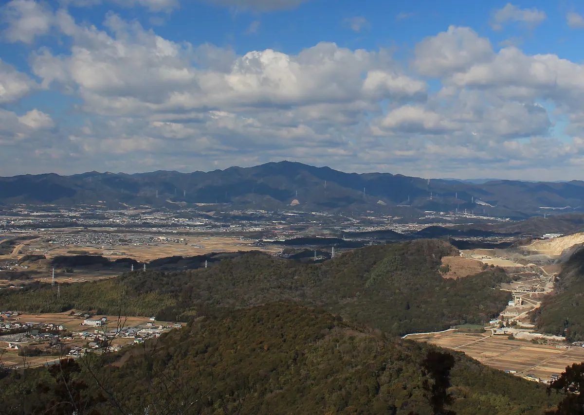
A 789-meter peak in Aichi featuring a mountain-top shrine, ancient cedar forests, and panoramic views from the summit.
What it is
- A 789-meter mountain spanning Okazaki, Toyokawa, and Shinshiro cities.
- Part of the Hongusan Prefectural Natural Park protected area.
- Home to the Toga Shrine Okumiya located near the summit.
- A natural site covered in large, ancient cedar trees.
What to see
- The Toga Shrine Okumiya buildings situated near the mountain peak.
- A first-class triangulation point marking the highest elevation.
- The Toyohashi television relay station towers at the top.
- Extensive views from the Hongusan Skyline mountain road.
- Dense forests consisting of large cedar tree specimens.
Getting there
- Nagayama Station is a twenty-minute walk from the southern walking center.
- Vehicle access is available via the Hongusan Skyline road to the summit.
- Hiking trails lead to the top from the Kuragari Valley side.
07
Mount Mito, Toyokawa
AICHI · PLACE 御津山
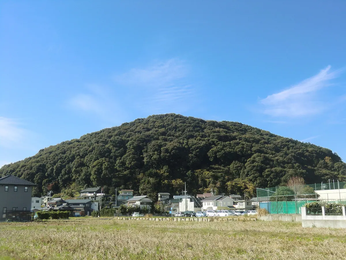
A coastal mountain park in Toyokawa offering panoramic views of Mikawa Bay and historical sites from a former naval battery.
What it is
- A 94.8-meter mountain located within the Mikawa Bay Quasi-National Park.
- A former site for a naval anti-aircraft battery during historical military operations.
- A designated natural habitat for the Euterpnosia chibensis species of cicada.
- The location of Daionji Temple situated at the foot of the mountain.
What to see
- A thirteen-meter high panorama observatory deck completed in 1992 at the summit.
- Approximately 150 cherry blossom trees planted around the summit park area.
- The Tamonkaku structure situated on the southern slope of the mountain.
- A nature trail that leads visitors from the base to the mountain summit.
- Panoramic views of the surrounding region from the summit observation deck.
Getting there
- A 20-minute walk to the site from Aichi-Mito Station.
08
Oyama
AICHI · PLACE 大山
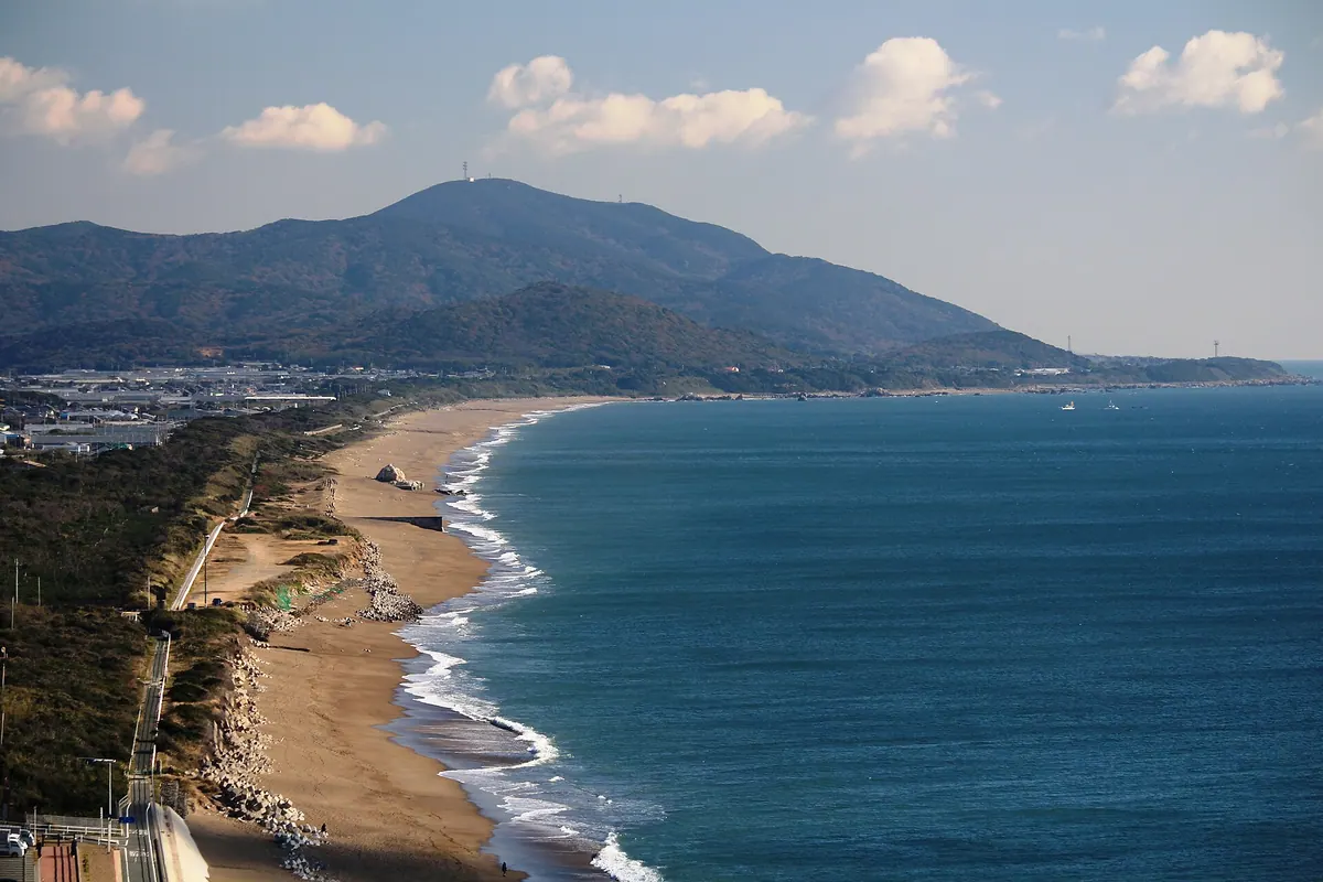
The highest peak on the Atsumi Peninsula offering an observatory, migratory hawk watching, and rare natural monuments in a national park.
What it is
- A 320-meter mountain serving as the highest peak on the Atsumi Peninsula.
- Part of the Mikawa Wan Quasi-National Park featuring chert and limestone layers.
- A natural site housing NTT and KDDI communication towers at the summit.
- Home to evergreen broad-leaved forests and a nationally designated natural monument.
What to see
- An observatory located at the summit alongside a first-class triangulation point.
- Migrating hawks passing through the area during the autumn season.
- Rare Shidekobushi trees located at the northern foot of the mountain.
- Evergreen broad-leaved forests growing across the southern slopes.
When to go
- The recommended climbing season runs from October through May.
- Autumn is the best time to observe migrating hawks from the summit.
09
Mount Takigashira
AICHI · PLACE 滝頭山
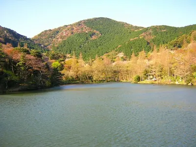
A 258-meter peak on the Atsumi Peninsula offering unique rock formations, waterfalls, and a park with seasonal cherry blossoms.
What it is
- A mountain standing 258 meters tall in the central part of the Atsumi Peninsula.
- The southern end of a branch of the Akaishi Mountains in Tahara City.
- A natural area featuring a park, ponds, and a waterfall at the base.
- A hiking destination situated near Mount Zao, Mount Kinugasa, and Mount Fujio.
What to see
- The Dinosaur Back rock formation located near the mountain summit.
- Views overlooking the upper and lower Takigashira ponds from the peak.
- Takigashira Fudo temple and the Fudo Waterfall situated behind it.
- A row of cherry blossom trees within Takigashira Park at the base.
- The surrounding landscape of the Atsumi Peninsula from the high elevation.
When to go
- Springtime to see the cherry blossom trees in bloom at the park.
10
Mount Hagitaro
AICHI · PLACE 萩太郎山
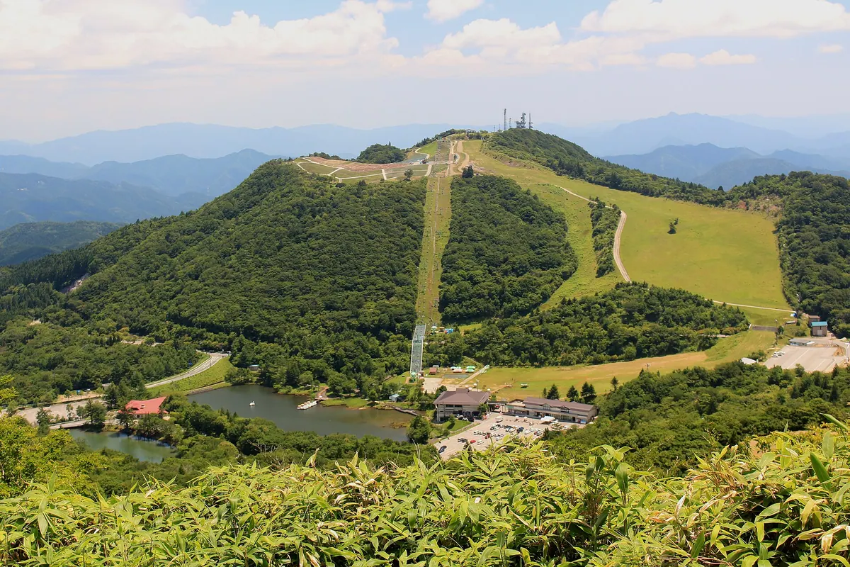
A 1,358-meter peak in Aichi featuring a massive moss phlox field and panoramic views of the Southern Alps.
What it is
- The second highest mountain in Aichi Prefecture at an elevation of 1358.1 meters.
- Part of the Tenryu-oku-Mikawa Quasi-National Park in Toyone Village.
- A recreational peak home to the Chausuyama Kogen Ski Resort.
- A summit destination featuring the Sky Garden park and multiple radio towers.
What to see
- A moss phlox field covering 22,000 square meters on the mountain slopes.
- Panoramic views extending to the Southern Alps and the city of Nagoya.
- The Sky Garden park located at the very top of the mountain.
- A ski lift that transports visitors to the summit throughout the year.
When to go
- Mid-May to June for the annual Shibazakura Festival when flowers bloom.
- Winter months to visit the ski resort located on the mountain slopes.
11
Owari Fuji
AICHI · PLACE 尾張富士
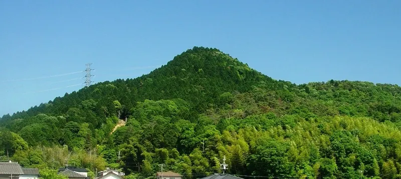
A 275-meter mountain in Inuyama featuring a summit shrine, unique stone piles, and views over Lake Iruka.
What it is
- A 275-meter mountain in Inuyama City classified as a local version of Mount Fuji.
- One of the Owari Three Mountains located near Hongu Mountain and Komaki Mountain.
- The site of Omiya Sengen Shrine Okumiya situated at the peak.
- The namesake for the Monachosorum maximowiczii fern species discovered in the area.
What to see
- Numerous small stones piled up by visitors at the mountain summit.
- A fourth-class triangulation point marking the highest peak.
- Views of Museum Meiji-mura and Lake Iruka at the eastern foot.
- The Gojo River flowing along the southern side of the mountain.
- Maintained hiking trails leading to the top from various directions.
When to go
- The Ishiage Festival held annually on the first Sunday of August.
12
Mount Hongu
AICHI · PLACE 本宮山
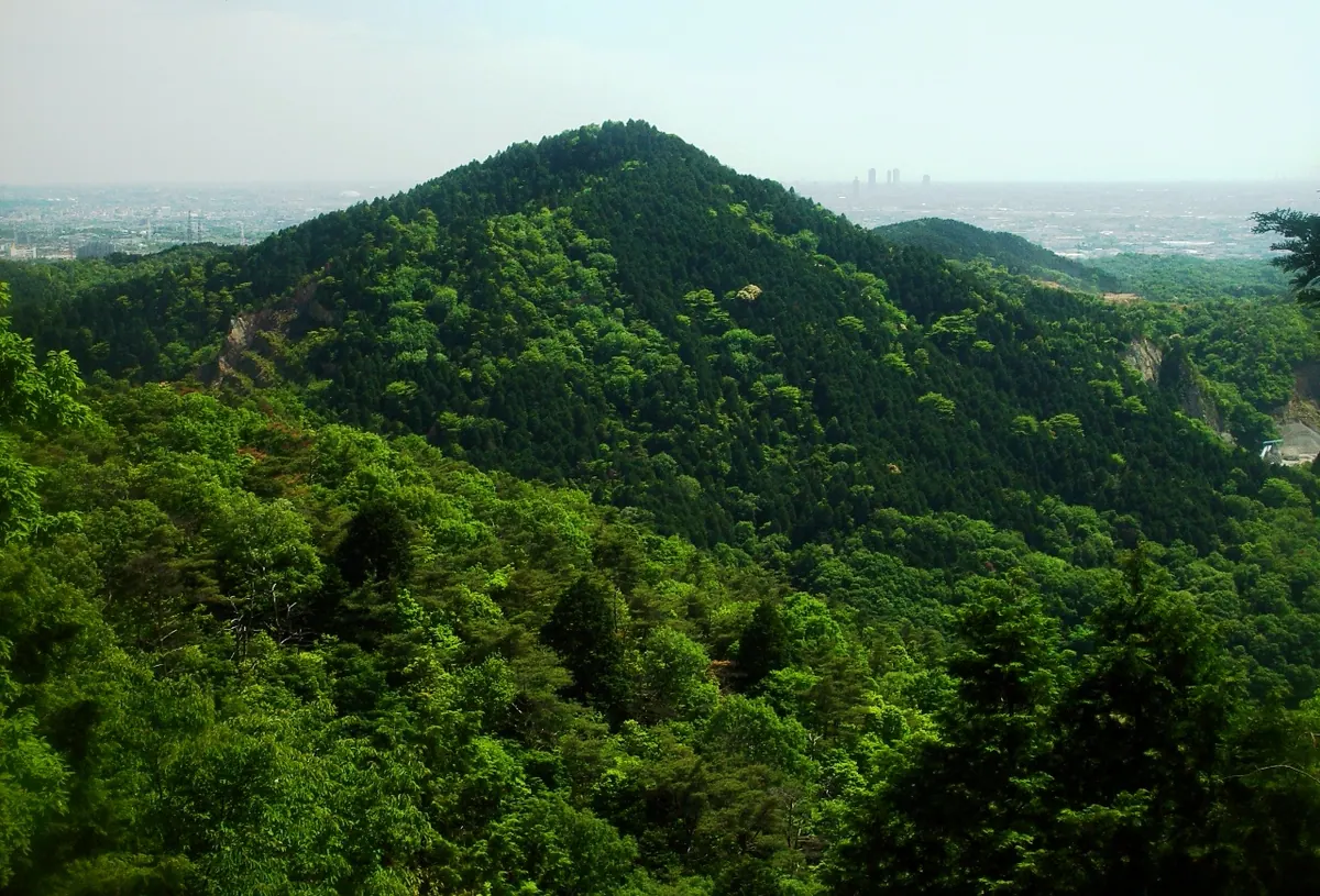
A 293-meter peak in Inuyama featuring sacred shrines, a two-story pagoda, and views of the Aichi Canal and Iruka Pond.
What it is
- A 293-meter mountain in Inuyama City also known as Owari Hongusan or Owari Ofuji.
- One of the Owari Three Mountains featuring a first-class triangulation point near the summit.
- A religious site housing the inner shrine of Oagata Shrine near the peak.
- The location of Owari Shigisan Senjoin temple situated on the southern peak.
What to see
- The inner shrine of Oagata Shrine located near the mountain summit.
- A two-story pagoda standing to the south of the temple buildings.
- A habitat of Chionanthus retusus trees growing at the southeastern foot.
- Views of the Aichi Canal flowing along the eastern side of the mountain.
- Iruka Pond situated to the east-northeast of the mountain slopes.
- Oagata Shrine located at the western foot of the mountain.
13
Mount Yatsuomote
AICHI · PLACE 八ツ面山
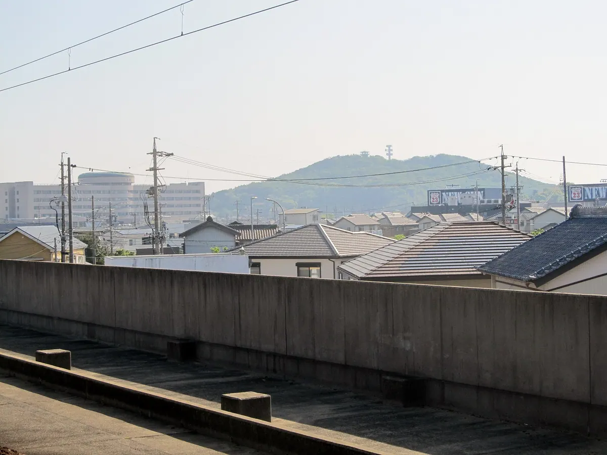
A historic mountain park featuring ancient shrine grounds, cherry blossoms, and an observatory overlooking the Nishio city area.
What it is
- A mountain park in Nishio City consisting of the Otoko-yama and Onna-yama peaks.
- Site of historical mica mining used to supply the Japanese Imperial Court.
- Home to Kumaku Shrine which was reportedly founded between 701 and 704.
- A public park located at the summit featuring a former railway track site nearby.
What to see
- An observatory on Otoko-yama providing views over the surrounding city area.
- A preserved mining tunnel designated as a Nishio City cultural property.
- The summit park area which serves as a local spot for cherry blossoms.
- A city road marking the former route of the Nishio Railway.
When to go
- Springtime is the best period to visit for the cherry blossom season.
14
Mount Zao
AICHI · PLACE 蔵王山
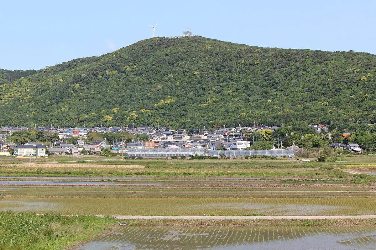
A 250-meter peak in Mikawa-wan Quasi-National Park offering panoramic views and a top-rated night observation deck.
What it is
- A 250.4-meter peak located within the Mikawa-wan Quasi-National Park
- The third highest mountain situated on the Atsumi Peninsula
- A spiritual site where Zao Gongen is enshrined near the summit
- Home to an observatory that opened in 1964 for public viewing
What to see
- Panoramic views from the Zao Mountain Observatory at the summit
- A night view officially listed among the top 100 in Japan
- The distant peak of Mount Fuji visible during clear weather conditions
- A motorcycle parking lot located at the former wind turbine site
When to go
- Visit during the autumn season for the Zao Mountain Observation Festival
- Arrive after dark to experience the famous nighttime city views
15
Mount Ishimaki
AICHI · PLACE 石巻山
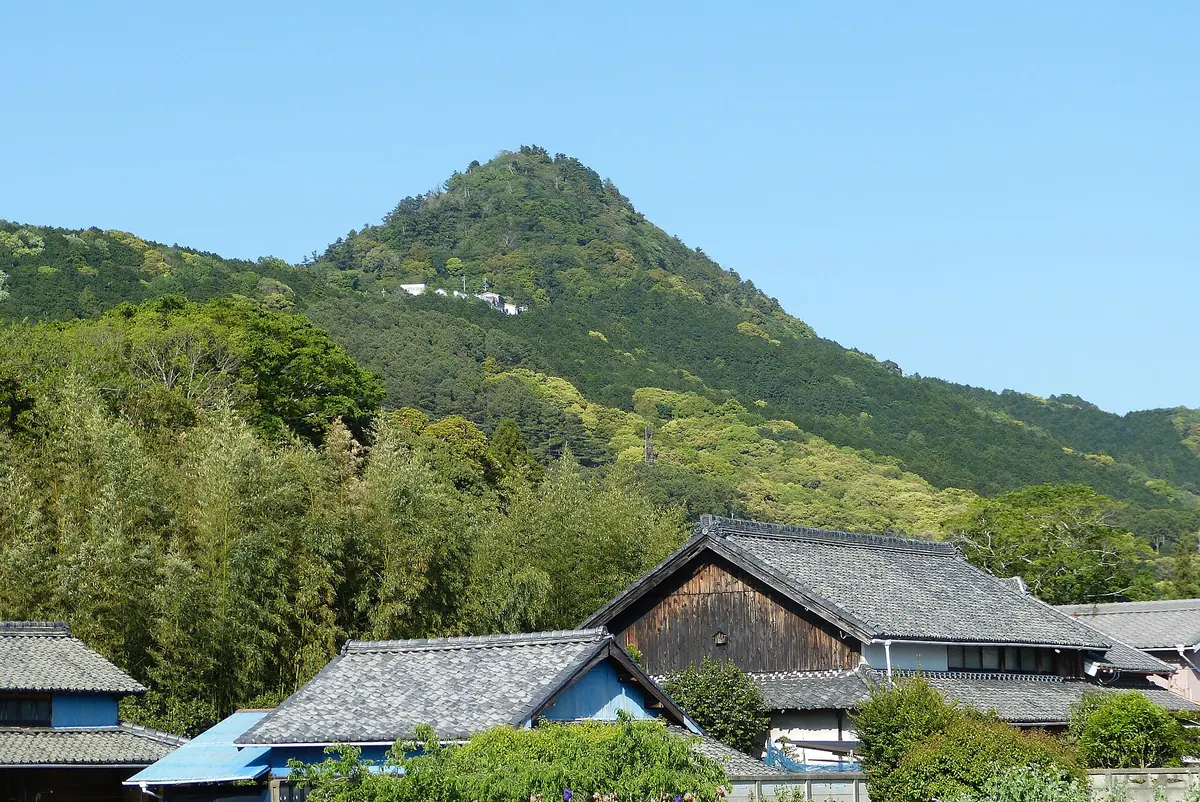
A 358-meter peak in Toyohashi featuring a historic shrine, limestone plant communities, and a 360-degree summit view.
What it is
- A 358-meter mountain in Toyohashi City featuring large limestone rock formations.
- Site of a former castle built by Takai Shuzen-no-kami during the Nanboku-cho period.
- Home to Ishimaki Shrine located on the mountainside.
- Features a natural science museum that opened in 1967 as a local annex.
What to see
- A national natural monument consisting of a unique limestone plant community.
- The summit offers a 360-degree view of the surrounding landscape.
- A natural science museum and various hot spring inns on the mountain.
- The Toyohashi Nature Trail which provides a hiking route to the peak.
Getting there
- Buses run from Toyohashi Station directly to the Ishimaki Trailhead.
16
Mount Goi
AICHI · PLACE 五井山
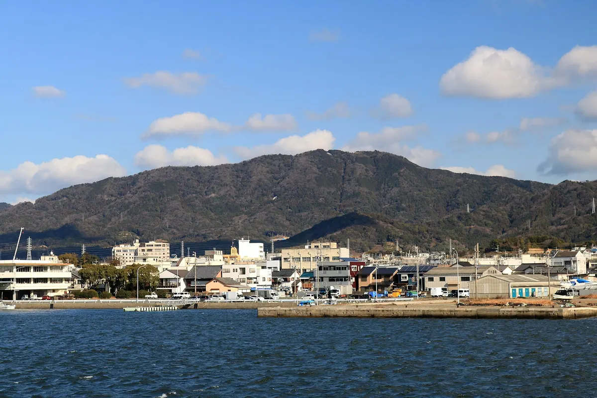
The highest peak in the Miyaji range offering panoramic views of Mikawa Bay and launch sites for paragliders.
What it is
- A mountain standing 454.2 meters high on the border of Gamagori and Toyokawa.
- The highest peak within the Miyaji mountain range.
- A popular location for amateur radio operators and hikers.
- A site featuring a launch area for hang gliders and paragliders.
What to see
- Panoramic views of Mikawa Bay and the Atsumi Peninsula from the summit.
- Clear views extending across to the Chita Peninsula.
- The hiking trail connecting this peak to nearby Mount Miyaji.
- The site where a radio tower once stood at the summit.
Getting there
- The trail entrance is an eighty-minute walk from Mikawa-Miya Station.
- No bus routes currently operate near the entrance to the hiking trail.
17
Mount Takakura
AICHI · PLACE 高座山
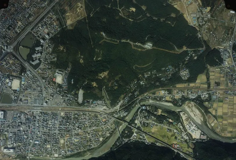
A 194-meter mountain in Kasugai featuring a historic shrine, ancient burial mounds, and a Japan Air Self-Defense Force base.
What it is
- A mountain standing 194 meters tall also known as Mount Suisho.
- Home to the Gosha Daimyojin Shrine and a Japan Air Self-Defense Force base.
- The site of the Kozoji Kofun cluster located at the southern base.
What to see
- The Gosha Daimyojin Shrine situated on the mountain grounds.
- The Kozoji Kofun cluster of ancient burial mounds at the base.
- Views of the Shonai River flowing to the south of the mountain.
- The residential landscape of Kozoji New Town on the western side.
When to go
- Outdoor fires and smoking are strictly prohibited from March to May.
Getting there
- The mountain is situated directly north of Kozoji Station.
18
Mount Iimori
AICHI · PLACE 飯盛山
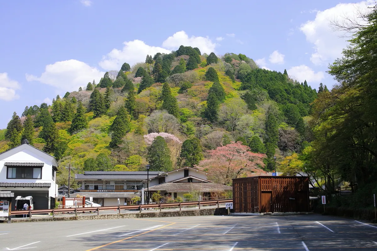
A 254-meter mountain featuring medieval castle ruins, historic temples, and famous maple groves planted during the Edo period.
What it is
- A 254-meter mountain that served as the base for the Asuke clan for eight generations.
- The site of the former Asuke clan residence where Kojakuji Temple now stands.
- A historic area named Korankei in 1930 by Motoyama Hikoichi.
- The location of the Shozoku-zuka mound containing clothing left by Nijo Yoshimoto.
What to see
- Three levels of medieval castle ruins located at the mountain peak.
- Extensive maple and cedar trees originally planted by Priest Sanei during the Edo period.
- Large colonies of erythronium flowers growing on the mountain slopes.
- The graves of the Asuke and Suzuki clans and a Heian period sutra mound.
- The Tomoe River flowing along the base of the mountain.
19
Mount Kichijo
AICHI · PLACE 吉祥山
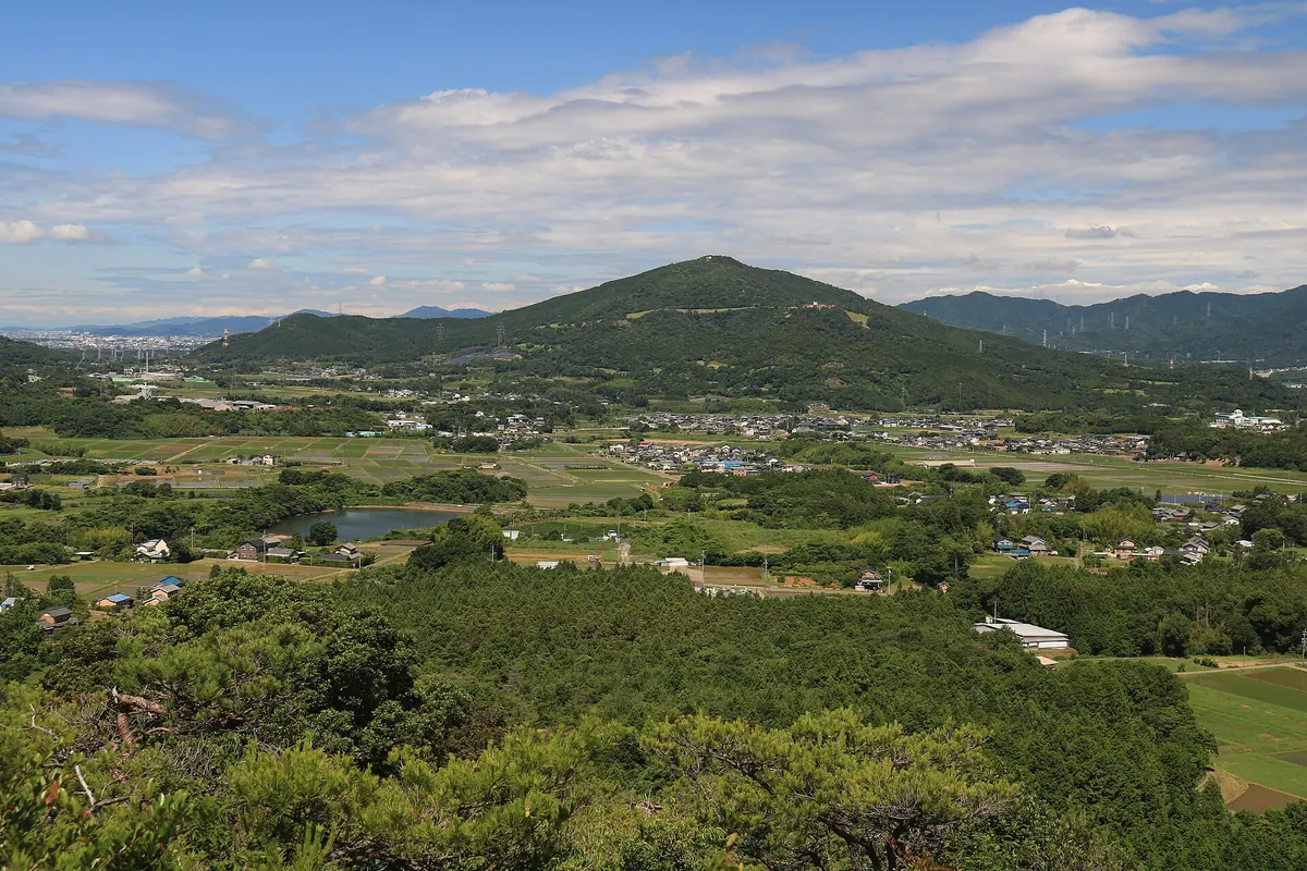
A 382-meter peak in Aichi featuring historic temple ruins, rare wildlife, and panoramic views of Mount Fuji and the Southern Alps.
What it is
- A 382.5 meter mountain spanning Shinshiro City and Toyohashi City in Aichi Prefecture.
- The site of the Imamizu Temple ruins, a designated historic site of Shinshiro.
- A nature conservation area above 300 meters protecting rare Mikawa snails.
- A mountain primarily composed of amphibolite schist rock with a summit shrine.
What to see
- A shrine dedicated to Kichijoten located at the mountain summit.
- Panoramic views of the Southern Alps and Mount Fuji from the peak.
- A 300-year-old Edohigan cherry tree growing on the northeast slope.
- A forest park for citizens situated on the southern slope.
- Four main hiking courses leading to the third-class triangulation point.
20
Mount Hasso
AICHI · PLACE 八曽山
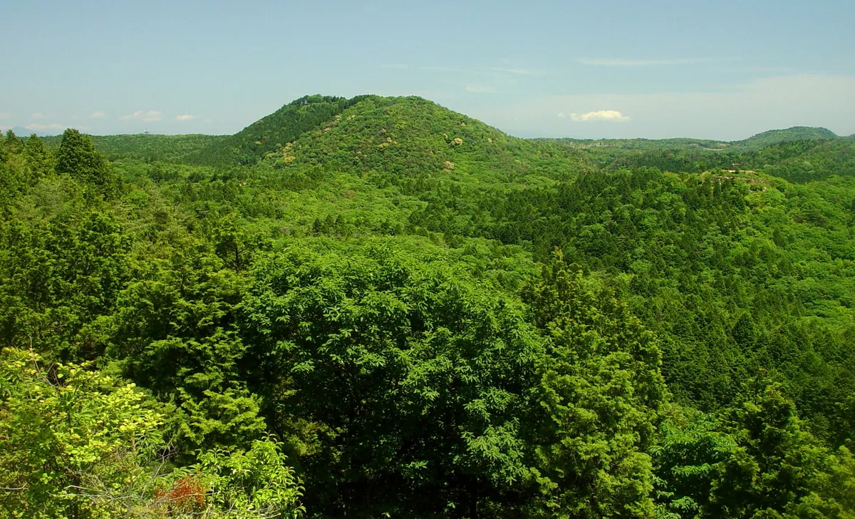
A 327-meter mountain in Inuyama featuring a historic shrine, a celebrated waterfall, and scenic trails through a national recreation forest.
What it is
- A mountain with an elevation of 327 meters located in eastern Inuyama City.
- Part of the designated Hasso National Natural Recreation Forest.
- Home to the Hasso Kurohira Shrine situated near the summit.
- A peak featuring a second-class triangulation point and views of nearby Mount Iwami.
What to see
- Hasso Waterfall which features an eighteen meter drop into the Gojo River.
- The Tokai Nature Trail passing through the southern side of the mountain.
- Hasso Waterfall is recognized as one of Heisei's 100 Remarkable Waters.
- Walking trails that begin at the local campground and lead to the peak.
- The Mominoki parking lot area which includes a shop for visitors.