Mount Mayu
眉山
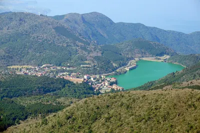
A volcanic lava dome and geosite in Shimabara offering views of the 1792 collapse site and nearby Heisei Shinzan.
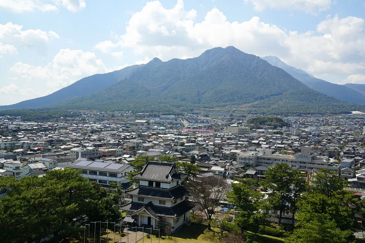
What it is
- A volcano within the Unzen volcanic group and a designated Shimabara Peninsula Geopark geosite.
- Formed as a dacite lava dome approximately four thousand years ago.
- Consists of two distinct peaks named Shichimen and Tengu.
- Site of a major eastern slope collapse in 1792 that caused a tsunami.
What to see
- The highest peak at Shichimen reaching an elevation of 818.7 meters.
- Evidence of national erosion control projects that began in 1916.
- Views of the neighboring Heisei Shinzan volcanic peak.
- The eastern slope where the historic 1792 collapse occurred.
Getting there
- The mountain trailhead is accessible via the Mayuyama Road.
Notes written by Japan Gems from facts in Japanese Wikipedia.
Where it is
Mount Mayu Open in Google Maps
この施設の関係者の方へ
このページは公開情報をもとに Japan Gems が作成し、訪日外国人向けに英語で掲載しています。 写真や情報の追加・修正を承っています。お店の写真に差し替えることもできます。
このページの情報を更新する