

11 Mountains in Nagasaki worth your time
Japan Gems
11 Mountains in Nagasaki, with what to see and how to get there.
Nagasaki has 11 mountains on Japan Gems. Below are the 11 we can tell you the most about — each one written up in English from Japanese sources, with what to see and how to get there. See all mountains in Nagasaki.
01
Mount Inasa
NAGASAKI · PLACE 稲佐山
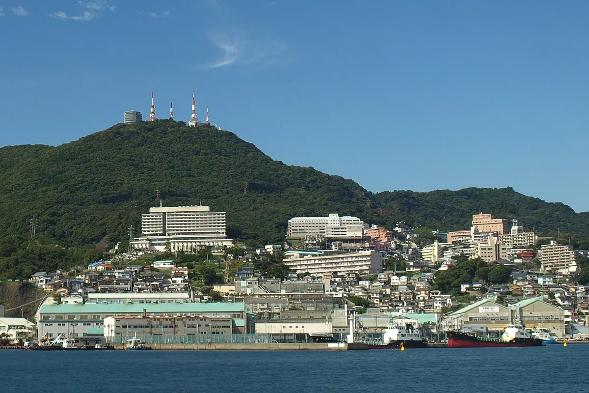
A 333-meter peak in Nagasaki offering one of Japan's top three night views via ropeway or designer slope car.
What it is
- A 333-meter mountain in Nagasaki City famous for its panoramic views.
- A designated site for one of the top three night views in Japan.
- A public park featuring an outdoor stage that accommodates 15,000 people.
- A transmission hub housing primary digital television and FM radio transmitters.
What to see
- A summit observatory providing views of the city and broadcasting facilities.
- A slope car designed by Ken Okuyama that opened in 2020.
- A light tunnel featuring 6,000 LEDs connecting the observatory and station.
- A deer ranch and monkey enclosure established in 1990.
- Inasa Mountain Park with a playground and grass sledding area.
Getting there
- The Nagasaki Ropeway connects directly to the mountain summit.
02
Mount Yumihari
NAGASAKI · PLACE 弓張岳
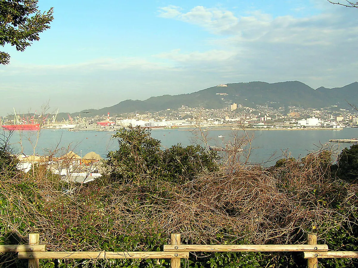
A 364-meter peak in Saikai National Park offering panoramic views of the Kujukushima Islands and historic naval ruins.
What it is
- A 364-meter mountain located within the Saikai National Park in Sasebo.
- The site of a former Imperial Japanese Navy battery and ancient archaeological excavations.
- A designated location among the top 100 night view spots in Japan.
What to see
- A concrete observatory at the summit designed by architect Yoshikatsu Tsuboi.
- Panoramic views of the Kujukushima Islands and the Sasebo Port area.
- The ruins of a historical Imperial Japanese Navy battery.
- A monument dedicated to the 43rd Submarine accident located at Udogoe.
When to go
- Visit after sunset to experience one of Japan's top rated night views.
Getting there
- The summit is accessible by a 15-minute drive from Sasebo Station.
03
Mount Ariake
NAGASAKI · PLACE 有明山
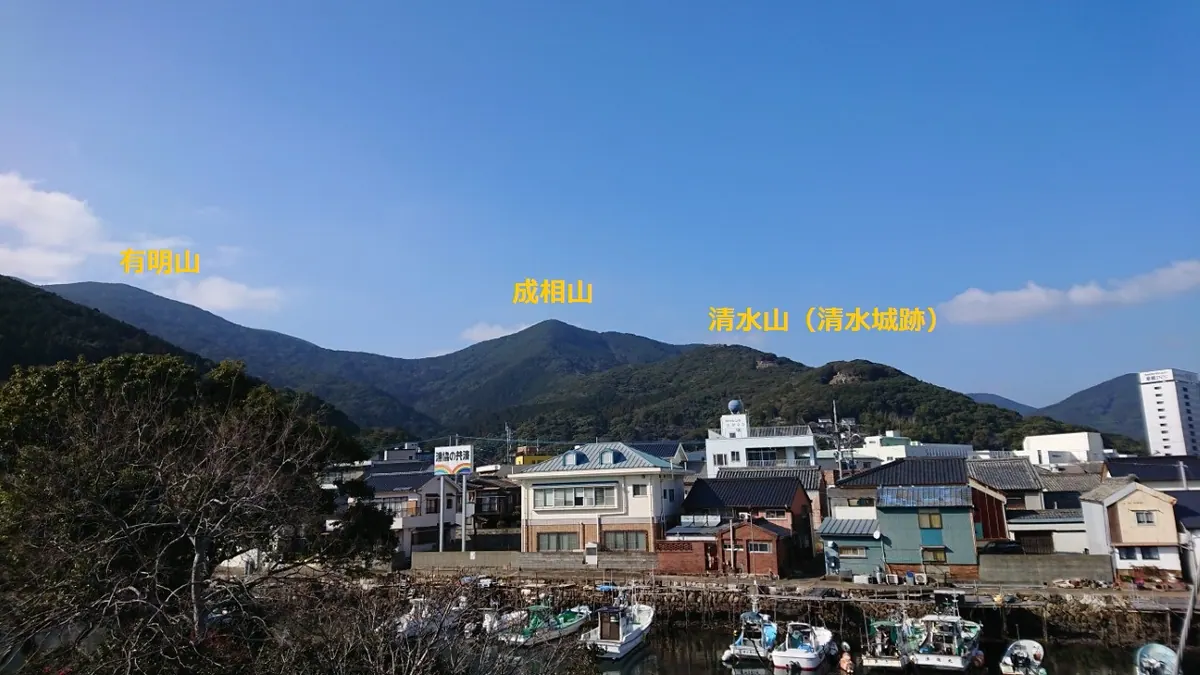
A 558-meter peak in Iki-Tsushima Quasi-National Park offering seasonal flowers and historic castle ruins on its slopes.
What it is
- A mountain standing at 558 meters within the Iki-Tsushima Quasi-National Park.
- One of the 100 Island Mountains of Japan featuring a first-class triangulation point.
- A natural site composed of sandstone, shale, and hornfels geology.
What to see
- Silver grass fields covering the summit area.
- The ruins of Shimizuyama Castle located on the eastern slope.
- Rhododendrons and Kousa dogwood blooming during the spring months.
When to go
- April to see the rhododendrons in bloom.
- May to June for the Kousa dogwood flowers.
Getting there
- The trailhead is located near the Tsushima Tourism Information Center.
- The hike to the summit takes approximately two hours from the base.
04
Mount Yasuman
NAGASAKI · PLACE 安満岳
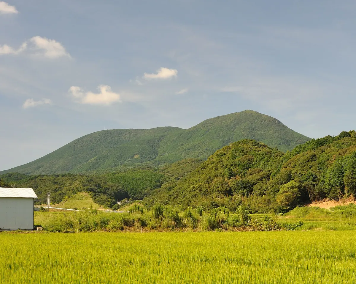
The highest peak on Hirado Island, this UNESCO World Heritage site preserves ancient mountain worship and Hidden Christian history.
What it is
- The highest peak on Hirado Island standing at an elevation of 530 meters.
- A UNESCO World Heritage site and part of the Saikai National Park.
- A center for mountain worship since ancient times and a former Hidden Christian site.
- The location of Hakusan Shrine which was established near the summit in 718.
What to see
- Volcanic rock formations that create a distinct mesa topography.
- Stone pagodas and shrines on the summit used by Hidden Christians.
- Remains of Saizenji Temple including a garden and stone towers.
- Views from the highest point of the island's protected water source.
Getting there
- A parking lot on the south side provides access to a 30-minute trail.
05
Mount Mayu
NAGASAKI · PLACE 眉山
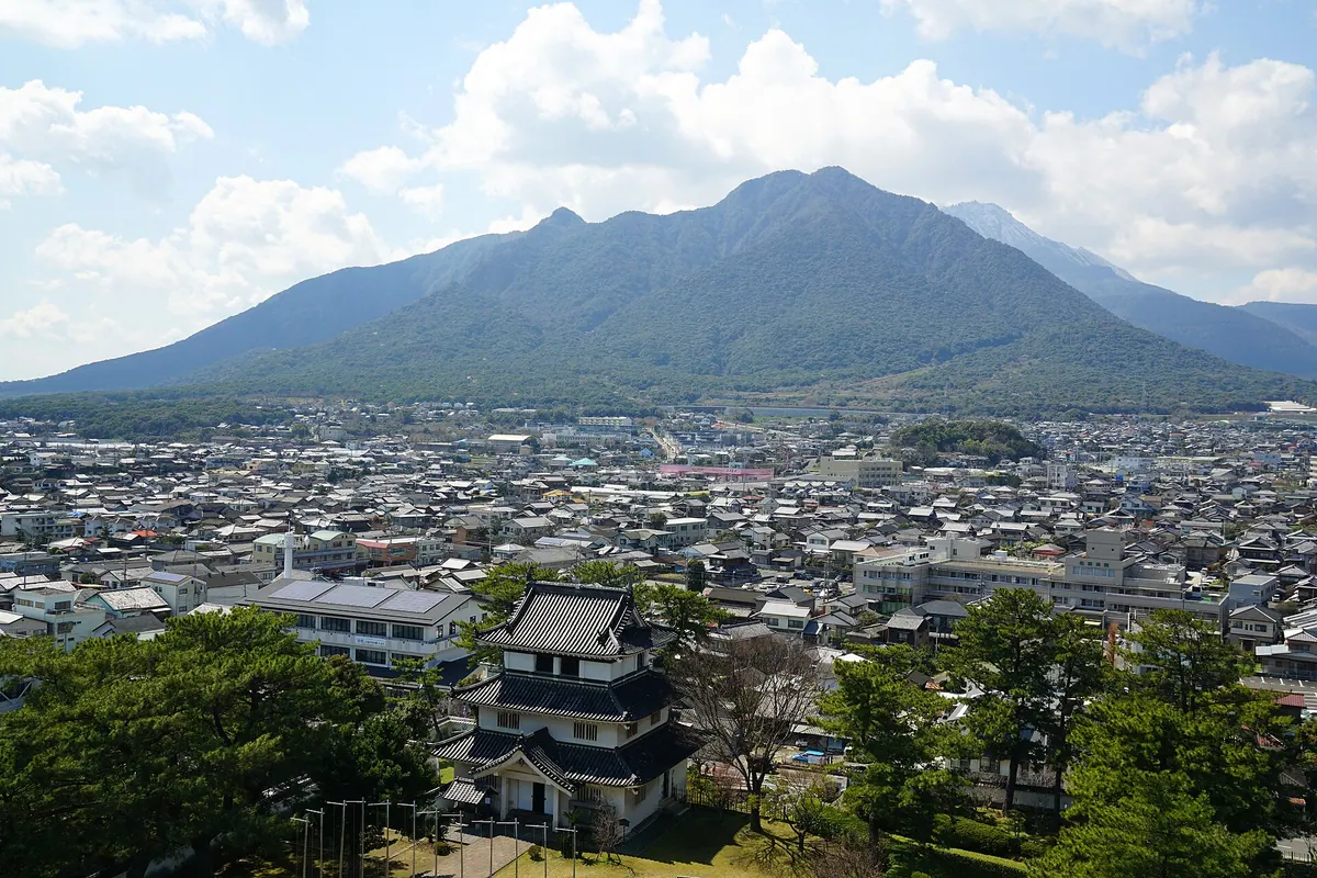
A volcanic lava dome and geosite in Shimabara offering views of the 1792 collapse site and nearby Heisei Shinzan.
What it is
- A volcano within the Unzen volcanic group and a designated Shimabara Peninsula Geopark geosite.
- Formed as a dacite lava dome approximately four thousand years ago.
- Consists of two distinct peaks named Shichimen and Tengu.
- Site of a major eastern slope collapse in 1792 that caused a tsunami.
What to see
- The highest peak at Shichimen reaching an elevation of 818.7 meters.
- Evidence of national erosion control projects that began in 1916.
- Views of the neighboring Heisei Shinzan volcanic peak.
- The eastern slope where the historic 1792 collapse occurred.
Getting there
- The mountain trailhead is accessible via the Mayuyama Road.
06
Eboshi-dake
NAGASAKI · PLACE 烏帽子岳 (佐世保市)
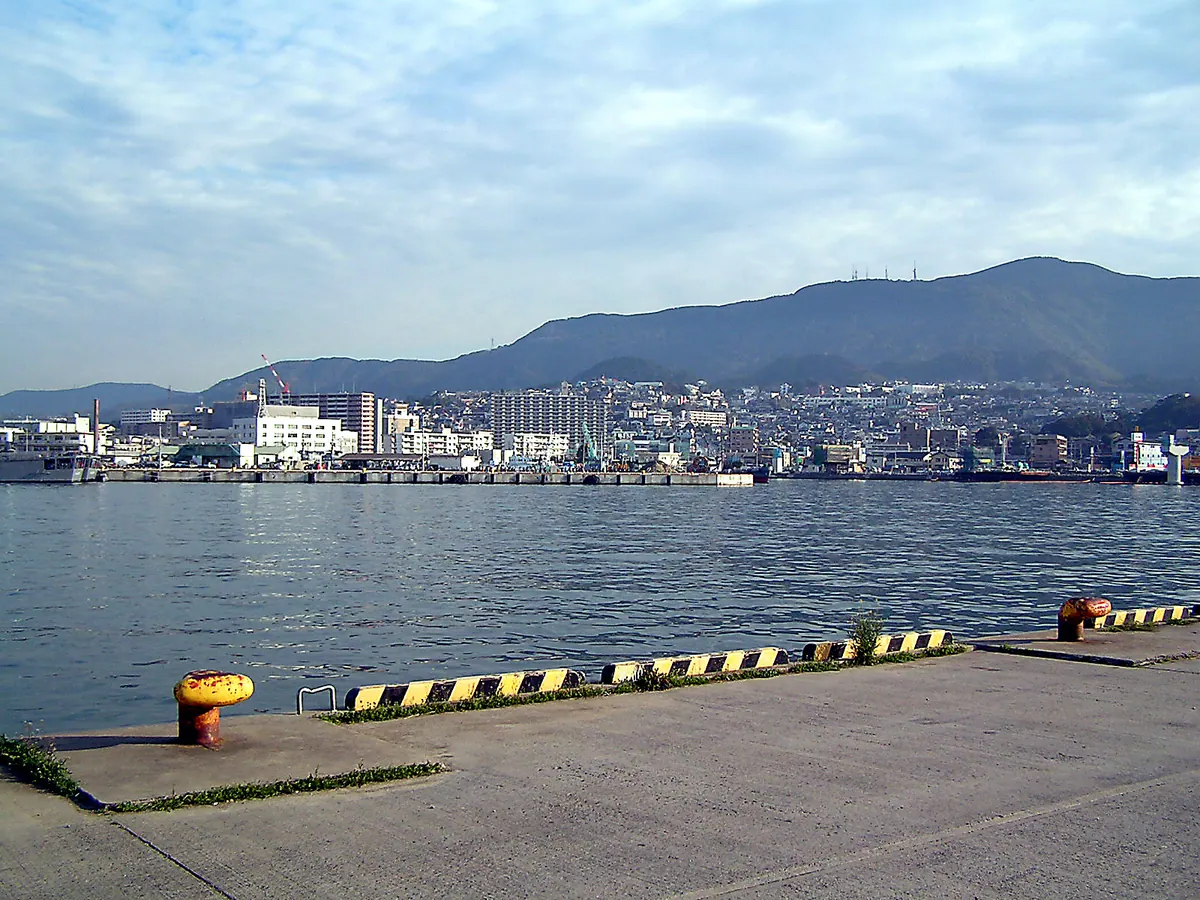
A 568-meter mountain known as Sasebo Fuji offering panoramic views of Sasebo and Omura Bay from its volcanic summit.
What it is
- A 568-meter andesitic volcano with a distinct two-tier structure.
- A peak nicknamed Sasebo Fuji located within the Saikai National Park.
- The original site where the Shiratake Shrine was established.
- A recreational area featuring a youth outdoor learning center and sports park.
What to see
- A 360-degree view of Sasebo City and Omura Bay from the summit.
- A monument dedicated to the song Utsukushiki Tennen near the peak.
- Multiple television and radio transmission towers standing at the top.
- Sports facilities including go-karts and a roller skating rink.
Getting there
- The journey takes 40 minutes by bus from Sasebo Station.
07
Mount Unzen
NAGASAKI · PLACE 雲仙岳
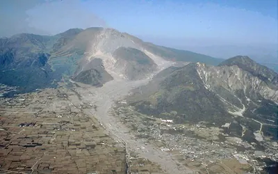
An active volcanic group and Japan's first national park, known for its dramatic peaks and historic hot spring activity.
What it is
- An active volcanic group consisting of over twenty mountains on the Shimabara Peninsula.
- Established in 1934 as the first national park in Japan.
- A site of historic hot spring activity originally known as Onsen-zan.
- Home to Manmyo-ji Temple, reportedly founded by the monk Gyoki in 701.
What to see
- Heisei Shinzan, the highest peak at 1,483 meters, formed during the 1990 eruption.
- The rugged landscape of a designated national natural monument.
- Evidence of the massive 1792 landslide and the 1991 pyroclastic flows.
When to go
- Visit any time to see the peaks formed during the major eruption starting November 1990.
08
Mount Iwaya
NAGASAKI · PLACE 岩屋山 (長崎県)
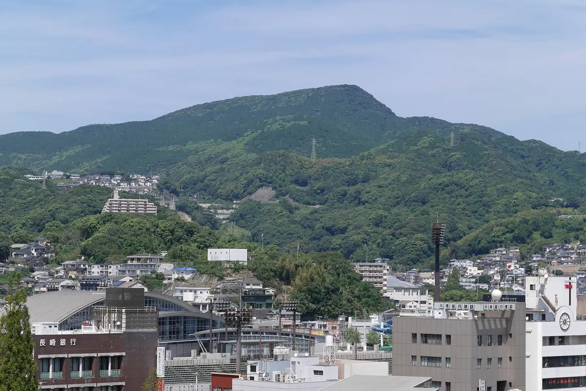
A 475-meter peak in Nagasaki offering panoramic harbor views and historic shrine sites along the Kyushu Nature Trail.
What it is
- A non-volcanic isolated peak standing 475.2 meters high in northwestern Nagasaki City.
- One of the Seven High Mountains of Nagasaki featuring steep northern and gentle southern slopes.
- Site of the former Iwayasan Jinguji Temple reportedly founded by the monk Gyoki.
- Named after a stone cave that was historically located on the mountain.
What to see
- Panoramic views of Nagasaki Port and Inasa Mountain from the summit.
- Iwaya Shrine situated at the western foot of the mountain.
- A section of the Kyushu Nature Trail which passes through the area.
- Multiple climbing routes connecting the peak to various surrounding neighborhoods.
09
Mount Kokuzō
NAGASAKI · PLACE 虚空蔵山 (長崎県川棚町)
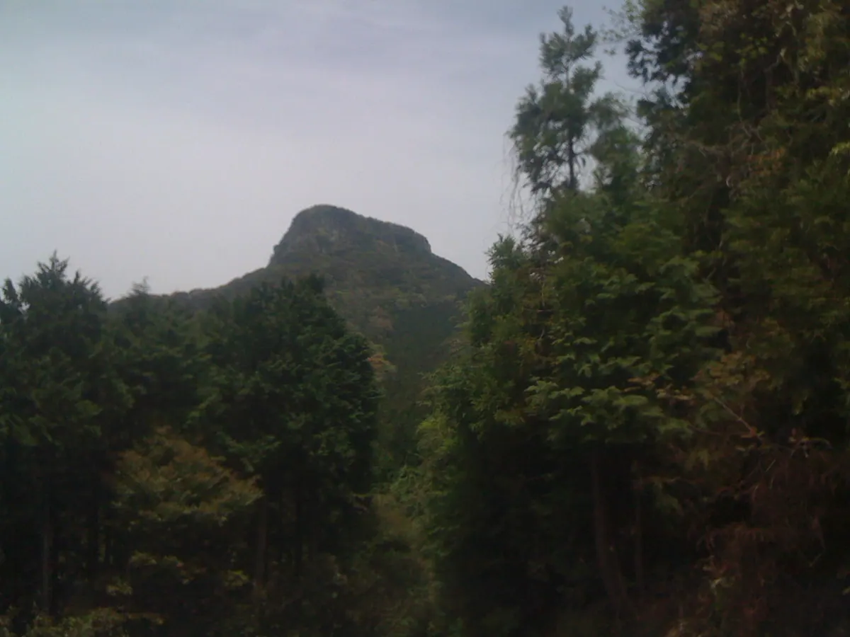
A 608.5-meter peak on the Nagasaki-Saga border offering a distinct Matterhorn-like profile and spiritual significance as a famous Kyushu mountain.
What it is
- A 608.5-meter mountain spanning the border of Nagasaki and Saga prefectures.
- One of the Kyushu 100 Famous Mountains formerly known as Mount Kogo.
- A peak formed by volcanic activity between 2.5 and 2.2 million years ago.
- The summit is located in Kawatana Town and enshrines the deity Kokuzo Bosatsu.
What to see
- A distinct peak shape that resembles the Matterhorn when viewed from Kawatana.
- A first-class triangulation point located at the very top of the mountain.
- Rock formations consisting mainly of pyroxene andesite from ancient volcanic activity.
- The enshrined figure of Kokuzo Bosatsu at the mountain summit.
10
Mount Ondake
NAGASAKI · PLACE 鬼岳
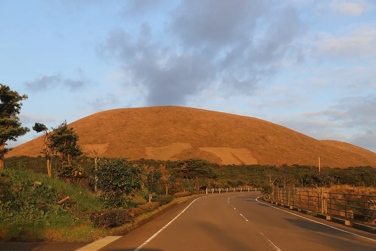
A 315-meter active volcano on Fukue Island offering panoramic views, hot springs, and unique lava-formed coastal scenery.
What it is
- A 315-meter active volcano located on Fukue Island in Nagasaki Prefecture.
- Part of the Saikai National Park and the Fukue Volcano Group.
- An active volcano that last erupted approximately 2,400 years ago.
- A site featuring a resort, hot springs, and a golf course.
What to see
- The Goto City Ondake Observatory located near the summit parking area.
- Abunze Park featuring a coastline shaped by ancient lava flows.
- Ondake Onsen, a hot spring facility located on the mountain.
- Fukue Airport situated on the foothills of the volcano.
- The Goto Country Club golf course and the Conkana Kingdom resort.
11
Mount Shijiki
NAGASAKI · PLACE 志々伎山
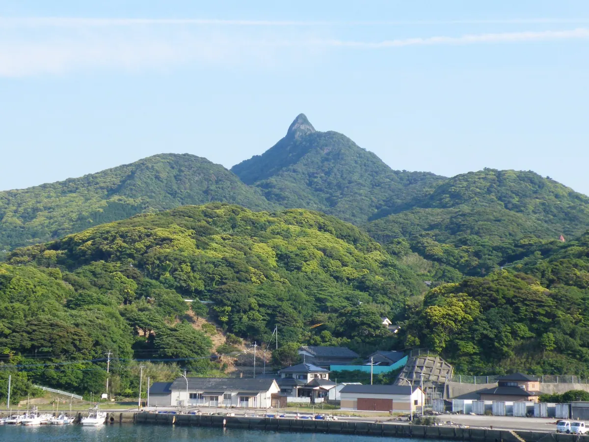
A 347-meter peak on Hirado Island featuring a rocky summit, ancient forests, and a shrine used for maritime navigation.
What it is
- A 347.2 meter mountain located in the southern part of Hirado Island.
- One of the top 100 mountains in the Kyushu region.
- A natural landmark historically used for maritime navigation.
- The site of the upper shrine of Shijiki Shrine.
What to see
- A conical protruding rock formation made of ancient andesite at the summit.
- Broadleaf virgin forests that are designated as a Nagasaki Prefecture natural monument.
- The upper shrine building situated at the highest point of the mountain.
- Panoramic views from the rocky peak overlooking the surrounding sea.