Mount Karasuba
烏場山
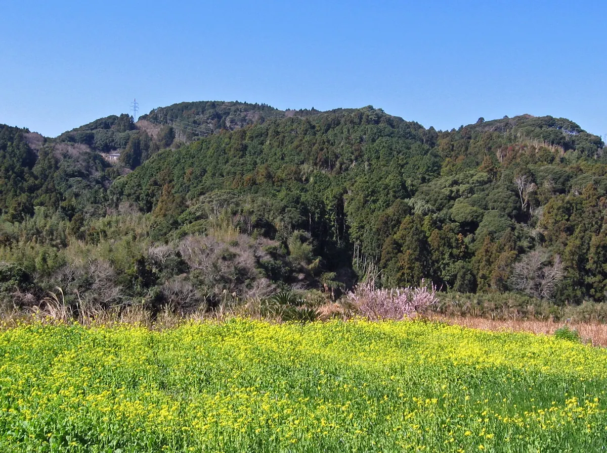
A 266-meter peak in the Mineoka Range featuring scenic hiking trails through evergreen forests and seasonal flower fields.
What it is
- A mountain standing 266.6 meters tall on the border of Minamiboso and Kamogawa.
- Part of the Mineoka Mountain Range included in the New Japan 100 Mountains list.
- Features hiking trails developed by local groups during the 1970s.
- Home to the Hanayome Highway and Hanamuko hiking courses.
What to see
- Broadleaf evergreen trees including Lithocarpus edulis covering the mountain slopes.
- Flower fields spreading across the foot of the mountain.
- Kurotaki, a nine meter waterfall located near the hiking routes.
- The Hanamuko course which passes through Hokon-en and Mount Konpira.
When to go
- Winter is the best time to see the flower fields at the mountain base.
Getting there
- The Hanayome Highway hiking route starts at Wadaura Station.
- Ascending the mountain takes approximately three hours from the starting point.
Notes written by Japan Gems from facts in Japanese Wikipedia.
Where it is
Mount Karasuba Open in Google Maps
この施設の関係者の方へ
このページは公開情報をもとに Japan Gems が作成し、訪日外国人向けに英語で掲載しています。 写真や情報の追加・修正を承っています。お店の写真に差し替えることもできます。
このページの情報を更新する