

9 Mountains in Chiba worth your time
Japan Gems
9 Mountains in Chiba, with what to see and how to get there.
Chiba has 9 mountains on Japan Gems. Below are the 9 we can tell you the most about — each one written up in English from Japanese sources, with what to see and how to get there. See all mountains in Chiba.
01
Mount Karasuba
CHIBA · PLACE 烏場山
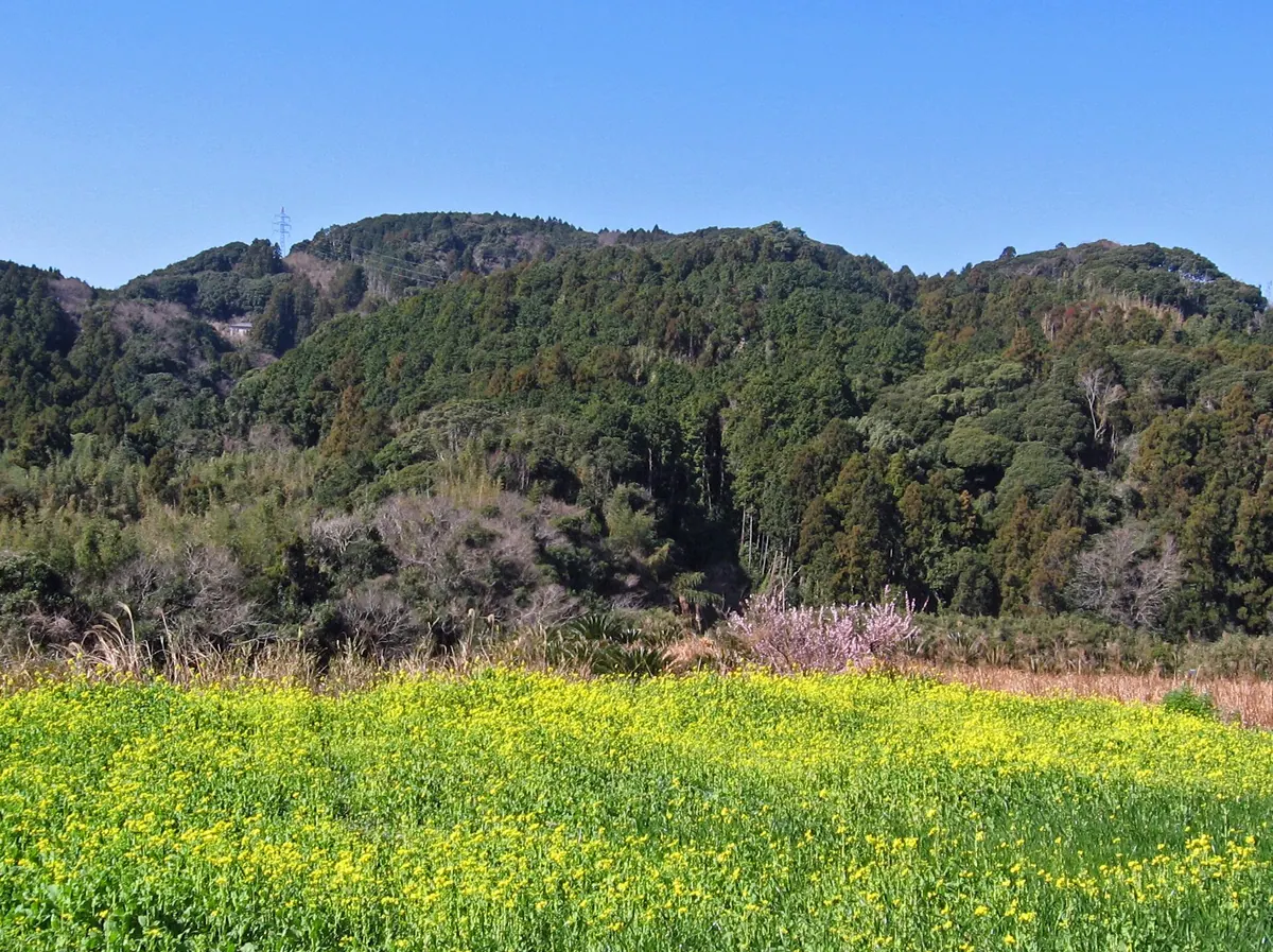
A 266-meter peak in the Mineoka Range featuring scenic hiking trails through evergreen forests and seasonal flower fields.
What it is
- A mountain standing 266.6 meters tall on the border of Minamiboso and Kamogawa.
- Part of the Mineoka Mountain Range included in the New Japan 100 Mountains list.
- Features hiking trails developed by local groups during the 1970s.
- Home to the Hanayome Highway and Hanamuko hiking courses.
What to see
- Broadleaf evergreen trees including Lithocarpus edulis covering the mountain slopes.
- Flower fields spreading across the foot of the mountain.
- Kurotaki, a nine meter waterfall located near the hiking routes.
- The Hanamuko course which passes through Hokon-en and Mount Konpira.
When to go
- Winter is the best time to see the flower fields at the mountain base.
Getting there
- The Hanayome Highway hiking route starts at Wadaura Station.
- Ascending the mountain takes approximately three hours from the starting point.
02
Mount Atago
CHIBA · PLACE 愛宕山
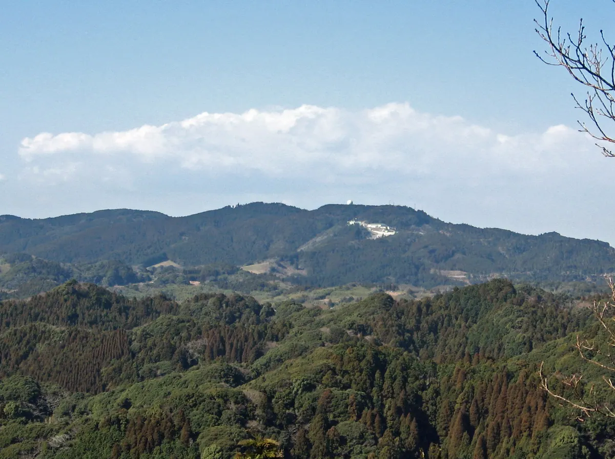
The highest peak in Chiba Prefecture, featuring a historic shrine and views located within a modern military radar facility.
What it is
- The highest point in Chiba Prefecture standing at 408.2 meters above sea level.
- The lowest peak among all the highest points of Japan's prefectures.
- A Japan Air Self-Defense Force radar facility occupies the mountain summit.
- Home to Atago Shrine where Minamoto no Yoritomo reportedly dedicated a statue.
What to see
- The Atago Shrine located within the grounds of the military facility.
- Panoramic views of Tokyo Bay and the Oyama Rice Terrace from the summit.
- A historic Jizo statue said to be dedicated by Minamoto no Yoritomo.
- Active radar equipment which is strictly prohibited from being photographed.
When to go
- Visitors must apply for permission at least two weeks in advance to enter.
Getting there
- The site is accessible by traveling along the Mineoka Chuo Forest Road.
03
Mount Tomi
CHIBA · PLACE 富山
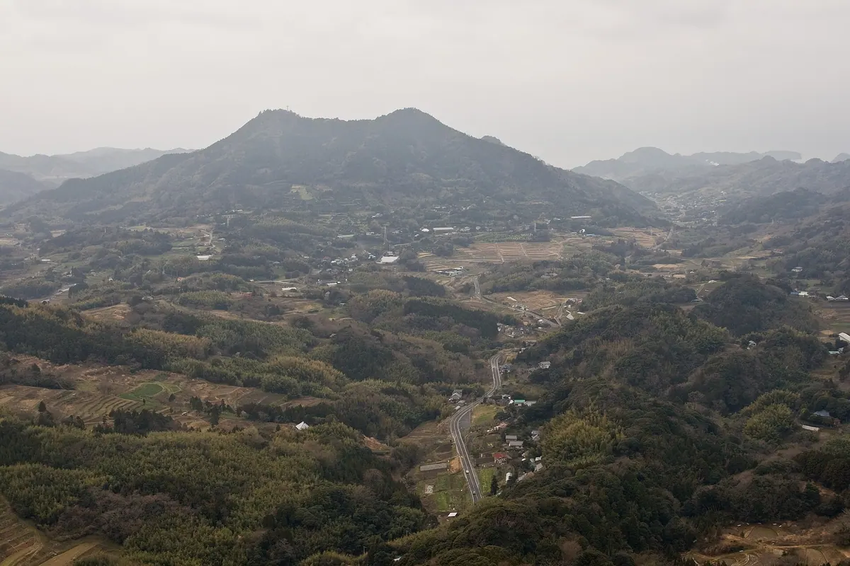
A twin-peaked mountain in Chiba featuring literary landmarks from the famous Nanso Satomi Hakkenden novel and panoramic nature views.
What it is
- A mountain with two peaks known as twin ears located in Minamiboso City.
- The site is designated as Tomisan Prefectural Natural Park.
- The name originates from the ancestor Ameno Tomi no Mikoto.
- This location serves as the setting for the novel Nanso Satomi Hakkenden.
What to see
- The north peak standing at an elevation of 349 meters.
- The south peak reaching a height of 342 meters.
- A cave called Fusehime Rokutsu located on the mountainside.
- A memorial post for the eight dog warriors situated between the peaks.
- Digital terrestrial broadcasting facilities established in 2010.
Getting there
- The mountain is accessible from JR Iwai Station.
- A paved forest road allows vehicle access to the saddle between peaks.
04
Mount Saga
CHIBA · PLACE 嵯峨山 (千葉県)
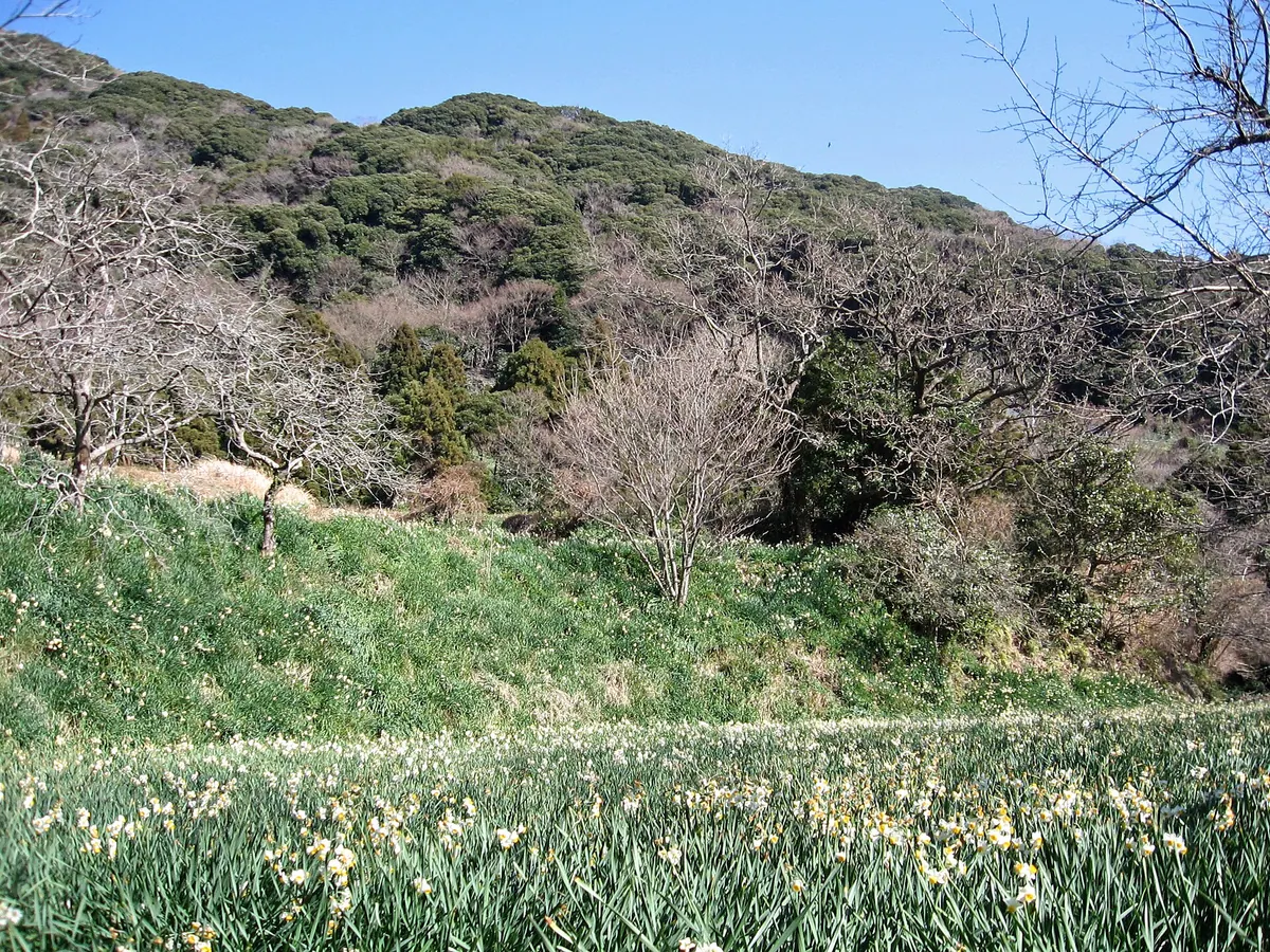
A 315-meter mountain offering scenic hiking trails, a stone shrine viewpoint, and seasonal narcissus blooms on its southern slopes.
What it is
- A mountain standing 315.5 meters tall on the border of Kyonan and Futtsu.
- The summit is characterized by a dense evergreen broadleaf forest.
- A peak located on the eastern side of the popular Mount Nokogiri.
- The area includes a secondary peak commonly referred to as Suisen Peak.
What to see
- A stone shrine viewpoint located forty meters northwest of the summit.
- Narcissus flowers blooming across the southern slope of Suisen Peak.
When to go
- Visit from late December to early February to see the narcissus flowers in bloom.
Getting there
- The hike from Obota bus stop takes approximately ninety minutes to complete.
- A shorter trail from Kamanodai reaches the area in about thirty minutes.
05
Mount Kanō
CHIBA · PLACE 鹿野山
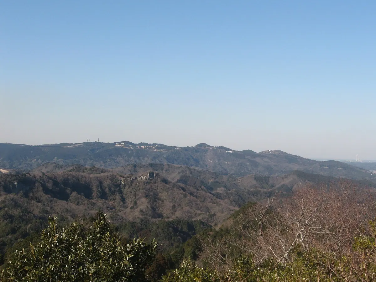
A 379-meter peak featuring an ancient temple, a scenic valley, and a historic geodetic observatory within a quasi-national park.
What it is
- The second highest peak in Chiba Prefecture at 379 meters above sea level.
- Part of the Minami Boso Quasi-National Park consisting of three distinct peaks.
- Home to Jin-ya-ji Temple, founded by Prince Shotoku in the year 598.
- Site of Japan's first primary triangulation point established in 1879.
What to see
- The ancient Jin-ya-ji Temple located on the mountain grounds.
- A scenic eroded landscape known as Kujukutani on the southern slope.
- A geodetic observatory operated by the Geospatial Information Authority of Japan.
- Mother Farm and a golf course located on the mountain slopes.
Getting there
- Buses run from Sanukimachi Station directly to the Jin-ya-ji bus stop.
06
Mount Nokogiri
CHIBA · PLACE 鋸山
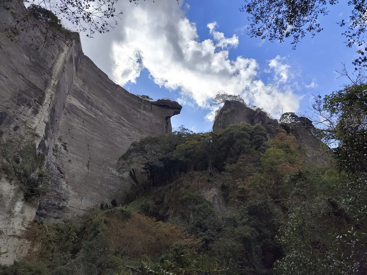
A jagged mountain featuring a historic temple complex, dramatic cliffside lookouts, and stone quarries that once supplied Tokyo.
What it is
- A 329.5 meter high mountain also known as Kenkonzan.
- Site of the Nihon-ji temple complex and former stone quarries.
- The jagged shape was formed by tuff stone cutting until 1985.
- Stone from these slopes was used to build Yasukuni Shrine.
What to see
- The Jigoku Nozoki lookout point overhanging a vertical cliff.
- Historical quarry sites depicted in Utagawa Hiroshige woodblock prints.
- The Nihon-ji temple grounds located across the mountain slopes.
- Panoramic views accessible via a ropeway to the summit.
Getting there
- Accessible via Hamakanaya Station or Hota Station.
- A ropeway provides a direct route to the mountain summit.
- Official site
- nokogiriyama.jp
07
Mount Iyogatake
CHIBA · PLACE 伊予ヶ岳
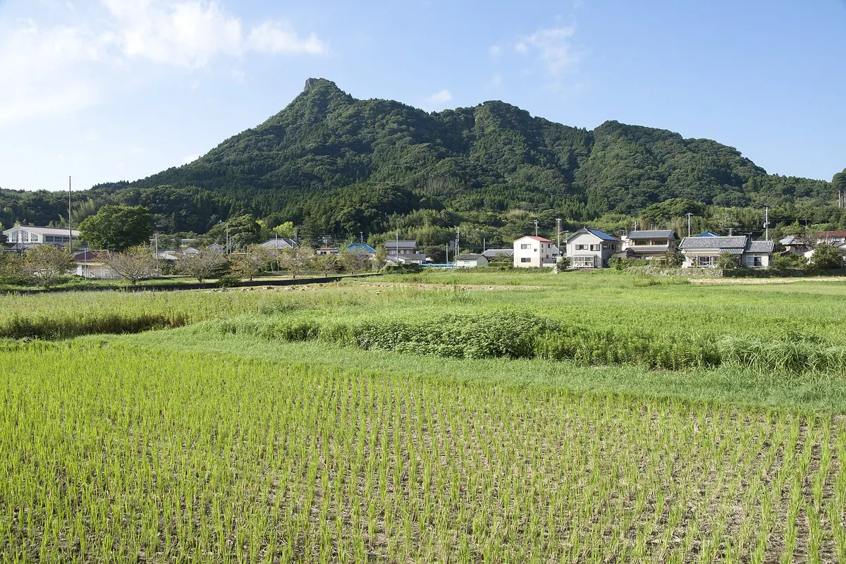
A rocky peak known as the Matterhorn of Boso offering a 360-degree panoramic view after a short, challenging climb.
What it is
- A 336.3-meter mountain selected as one of the Kanto 100 Famous Mountains.
- The only mountain in Chiba Prefecture with the word Gake in its name.
- Named by the Inbe clan after Mount Ishizuchi in Shikoku.
- A peak nicknamed the Matterhorn of Boso due to its distinctive shape.
What to see
- A staircase leading to the Seiryu Gongen Shrine.
- Continuous chain sections required to navigate the upper part of the trail.
- A 360-degree panoramic view from the rocky summit.
- The trailhead located at the Heguri Tenjin Shrine.
When to go
- Allow forty minutes for the ascent along the one-kilometer trail.
08
Mount Goten
CHIBA · PLACE 御殿山
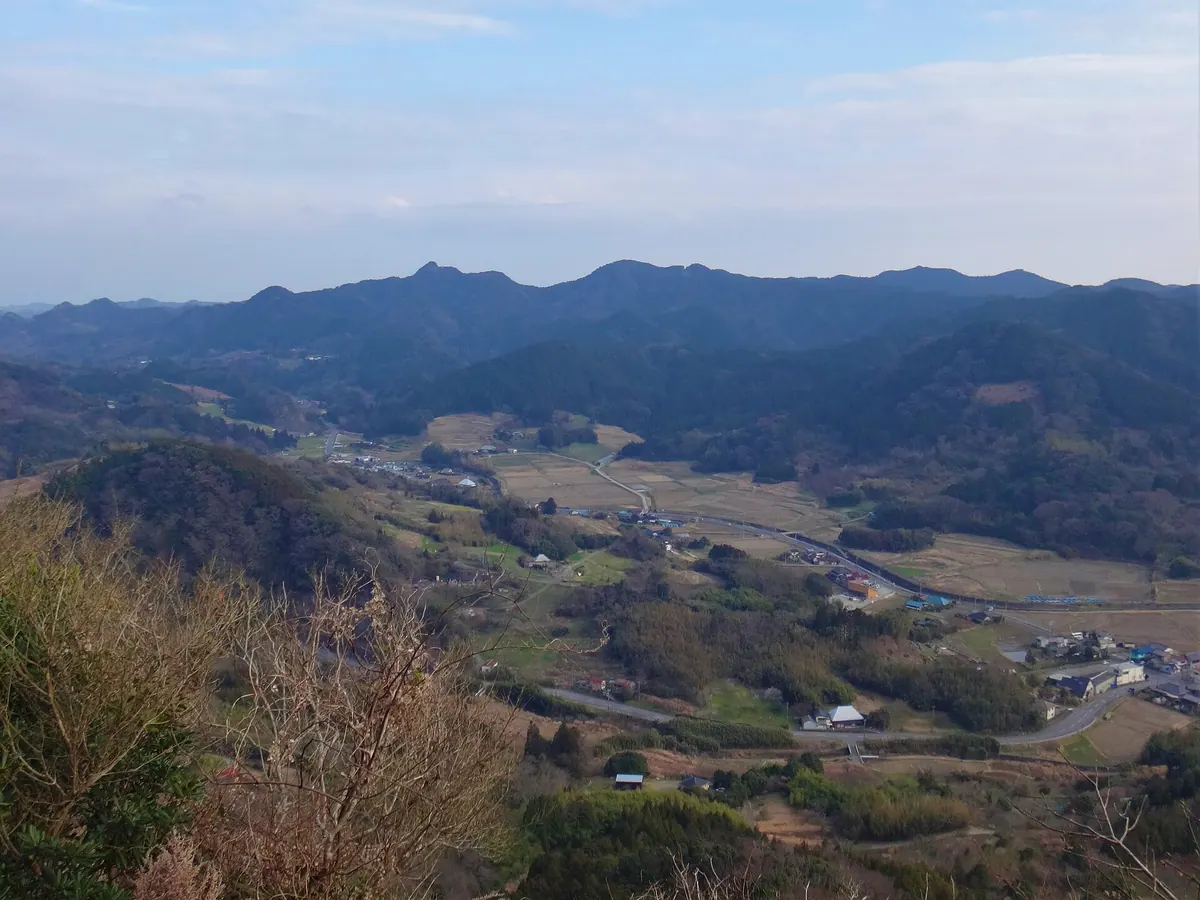
A 363-meter peak in Chiba offering panoramic views of Tokyo Bay and the Pacific Ocean from its historic summit.
What it is
- A 363.7-meter mountain located within the Mineoka Mountain Range State Park.
- One of the 100 Famous Mountains of Kanto situated in Minamiboso City.
- Site where Yamato Takeru allegedly established a palace in ancient times.
- Named after a palace associated with the Satomi clan according to local history.
What to see
- Panoramic views of Tokyo Bay and the Pacific Ocean from the summit.
- The Yamada hiking route which begins in front of Koshoji Temple.
- The Shioido trail located near the Ono Jiroemon Birthplace Park.
- The Hata route which passes through Hokyointosan and Mount Takatori.
09
Mount Takago
CHIBA · PLACE 高宕山
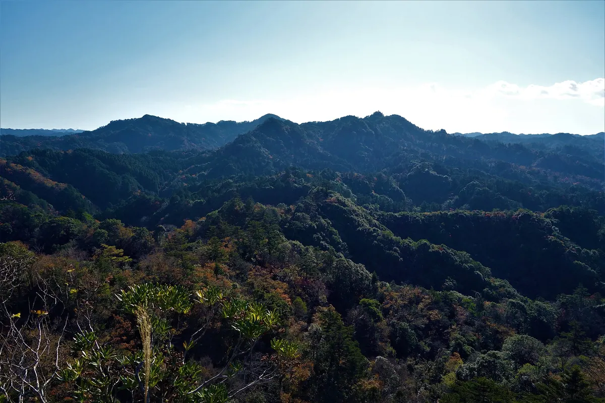
A 330-meter peak in Chiba featuring a national natural monument monkey habitat and views of Mount Fuji from the summit.
What it is
- A 330-meter mountain located within a prefectural natural park in Chiba.
- A designated national natural monument for its population of wild Japanese macaques.
- Part of the Kanto Fureai no Michi regional hiking trail system.
- A site containing the Takago Kannon Hall located just north of the summit.
What to see
- Wild Japanese macaques and linden trees growing within the mountain forest.
- Views of Mount Fuji and Mount Tsukuba from the mountain peak.
- A traditional rainmaking pot situated at the summit.
- Mount Ishiyataro, a former stone quarry located in front of the mountain.